- All
- Articles
- Blog
- Case Studies
- Featured
- Galleries
- Glossaries
- Products
- Services
- Top 10
- Videos
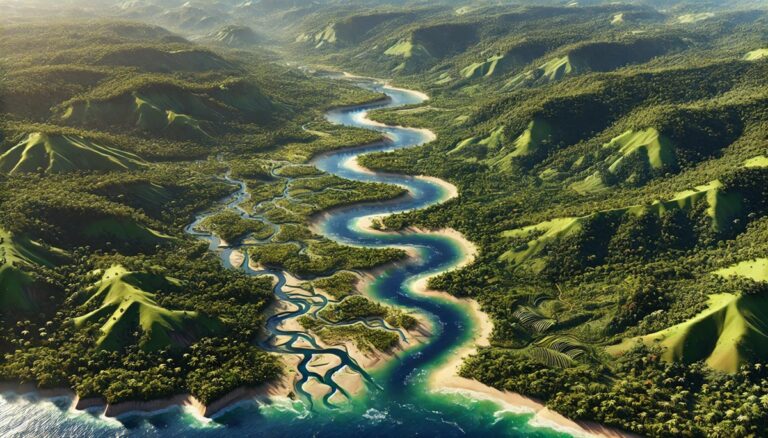
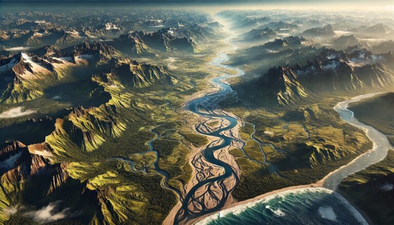
Essequibo River Watershed Map
Discover the Essequibo River Watershed, a vital resource in Guyana. Learn about its diverse ecosystems, challenges, and how 3D mapping is transforming conservation efforts.
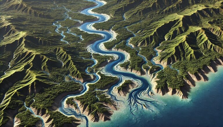
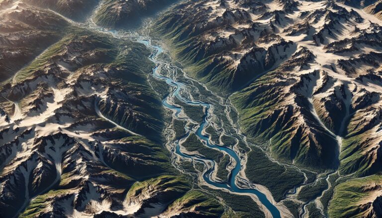
Maroni River Watershed Map
Explore the Maroni River Watershed, a vital resource for South America’s ecosystems and communities. Learn how advanced 3D mapping is transforming conservation efforts and ensuring ...

Fly River Watershed Map
Dive into the Fly River Watershed, one of Papua New Guinea's most vital ecosystems. Discover its dynamic landscapes, rich biodiversity, and how advanced 3D mapping ...

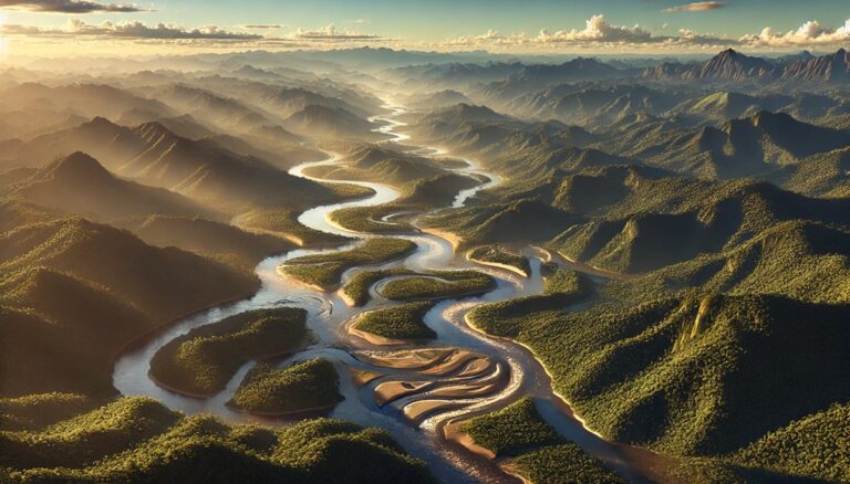
Sepik River Watershed Map
Discover the Sepik River Watershed, one of Papua New Guinea’s most ecologically rich regions. Explore its diverse landscapes, vibrant ecosystems, and how advanced 3D mapping ...
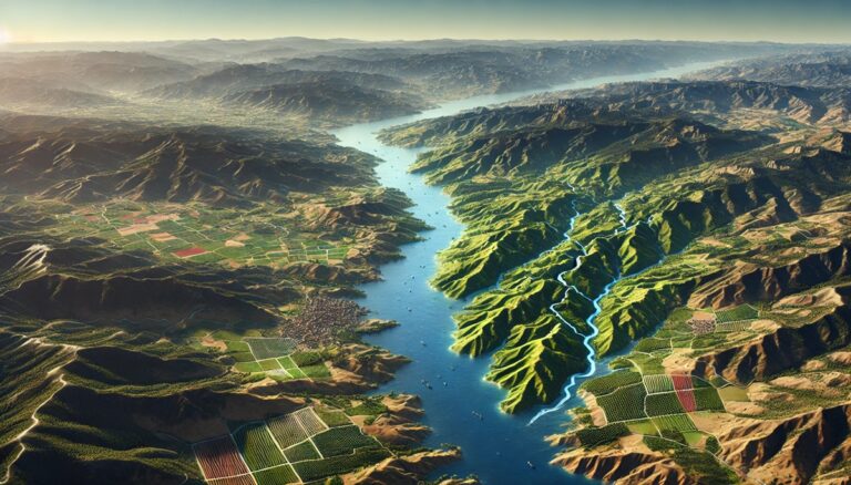
Tagus River Watershed Map
Discover the Tagus River Watershed, a vital resource in Spain and Portugal. Explore its dynamic geography, rich ecosystems, and how advanced 3D mapping technology is ...
Top 10 Drainage Basins in South America
Discover South America's top 10 largest drainage basins, from the mighty Amazon to the vital Paraná. These vast river systems shape ecosystems, economies, and cultures. ...

Top 10 Drainage Basins in North America
Discover the top 10 largest drainage basins in North America, from the massive Mississippi River Basin to the vital Chesapeake Bay Watershed. These vital watersheds ...
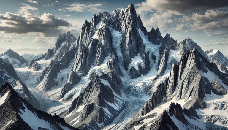
Top 10 Hardest Mountains to Climb in the United States
Discover the top 10 hardest mountains to climb in the U.S., from the towering Denali to the rugged Grand Teton. These peaks challenge even the ...
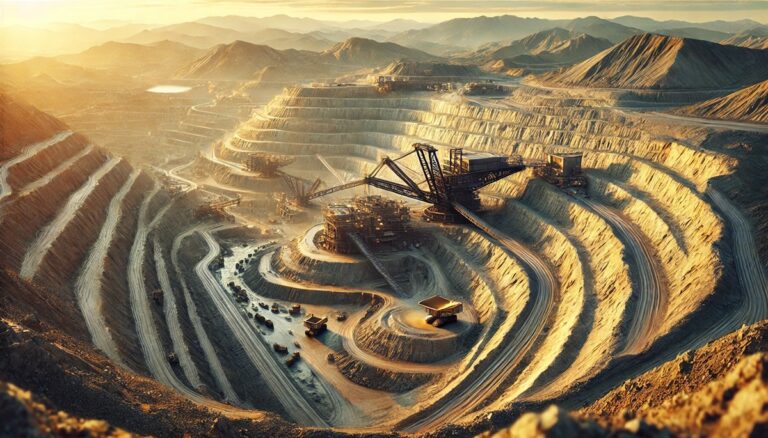
Top 10 Largest Gold Mines in the United States
Discover the top 10 largest gold mines in the U.S., from the massive Nevada Gold Mines to the historic Fort Knox Mine. These properties shape ...
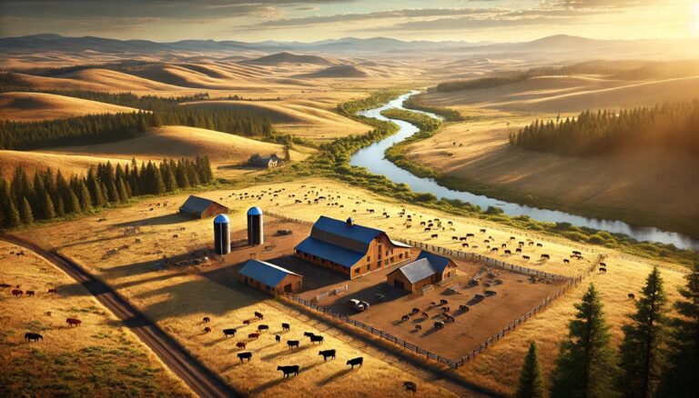
Top 10 Largest Ranches in Oregon
Discover Oregon’s top 10 largest ranches, where vast landscapes, thriving cattle operations, and rich histories come to life. From the massive Les Schwab Ranch to ...

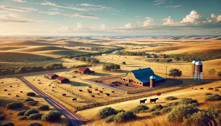
Top 10 Largest Ranches in Louisiana
Discover Louisiana’s top 10 largest ranches, where expansive landscapes, rich histories, and thriving cattle operations define the state’s agricultural legacy. From the iconic N Bar ...
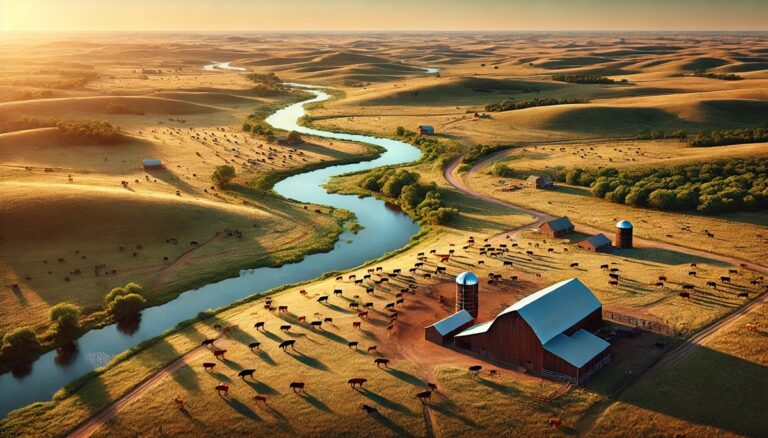
Top 10 Largest Ranches in Kansas
Discover Kansas’s top 10 largest ranches, where expansive grasslands, rolling hills, and thriving cattle operations come to life. From the massive M-P Ranch to the ...
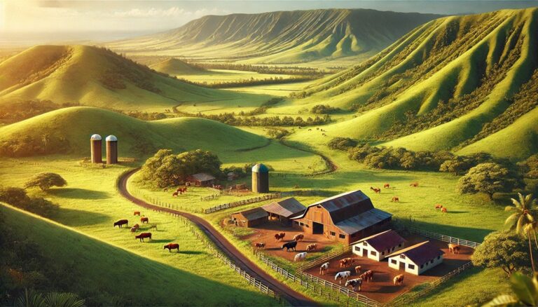
Top 10 Largest Ranches in Hawaii
Discover Hawaii’s top 10 largest ranches, where vast landscapes, rich histories, and unique agricultural traditions come to life. From the iconic Parker Ranch to the ...
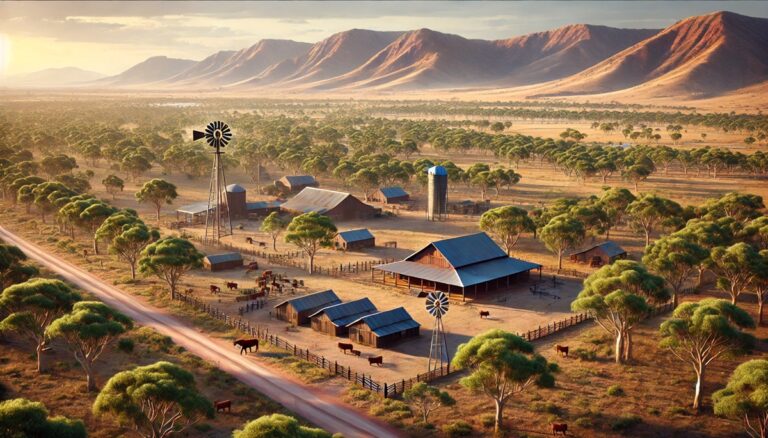
Top 10 Largest Ranches in Australia
Discover Australia’s top 10 largest ranches, where vast deserts, rugged mountains, and iconic cattle operations define the land. From the massive Anna Creek Station to ...
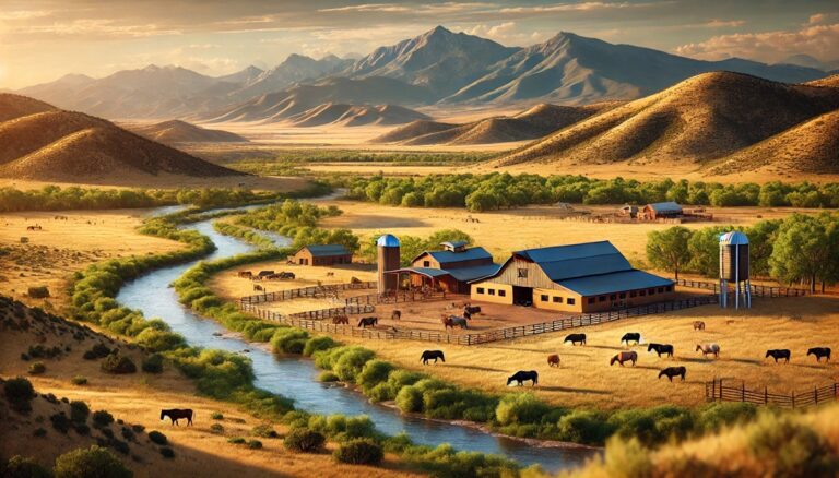
Top 10 Largest Ranches in Nevada
Discover Nevada’s top 10 largest ranches, where vast deserts, rugged mountains, and iconic cattle operations come to life. From the massive Flying M Ranch to ...
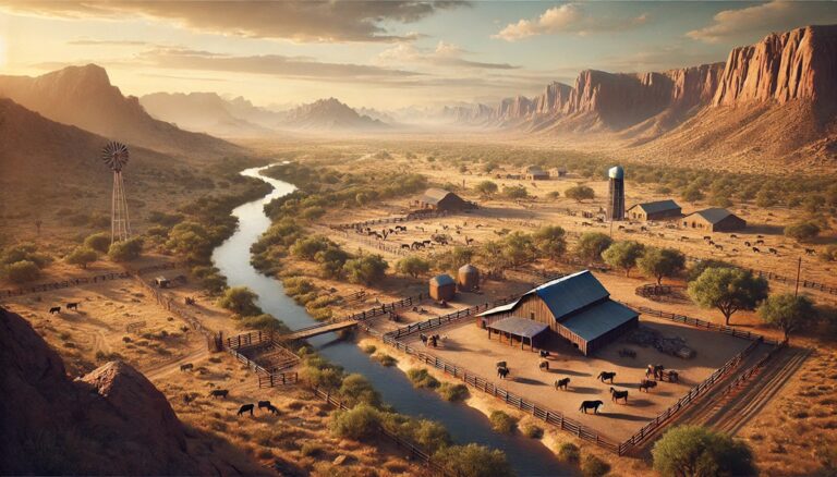
Top 10 Largest Ranches in Arizona
Discover Arizona’s top 10 largest ranches, where expansive deserts, rugged mountains, and iconic cattle operations come to life. From the massive Aztec Ranch to the ...
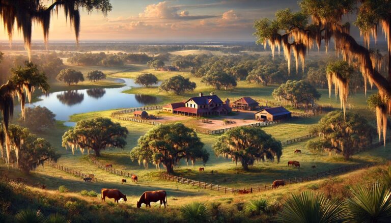
Top 10 Largest Ranches in Florida
Discover Florida’s top 10 largest ranches, where expansive landscapes, rich histories, and iconic ranching traditions come to life. From the massive Deseret Ranch to the ...
Top 10 Largest Ranches in New Mexico
Discover New Mexico’s top 10 largest ranches, where vast landscapes, rich history, and iconic ranching traditions come to life. From the massive Ted Turner Ranch ...
Top 10 Largest Ranches in California
California’s largest ranches are more than vast stretches of land—they’re living legacies of history, conservation, and ranching culture. From Tejon’s sweeping wildflower valleys to Hearst’s ...
Top 10 Largest Ranches in Oklahoma
Discover Oklahoma’s top 10 largest ranches, where vast landscapes, rich histories, and iconic ranching traditions come to life. From the expansive Waggoner Ranch to the ...

Top 10 Largest Ranches in Nebraska
Discover Nebraska’s top 10 largest ranches, where vast landscapes, rich histories, and iconic ranching traditions come to life. From the expansive Box R Ranch to ...
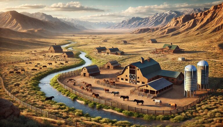
Top 10 Largest Ranches in Utah
Discover Idaho’s top 10 largest ranches, where vast landscapes, rich histories, and iconic ranching traditions come to life. From the sprawling Bar B Ranch to ...
Top 10 Largest Ranches in Idaho
Discover Idaho’s top 10 largest ranches, where vast landscapes, rich histories, and iconic ranching traditions come to life. From the sprawling Bar B Ranch to ...

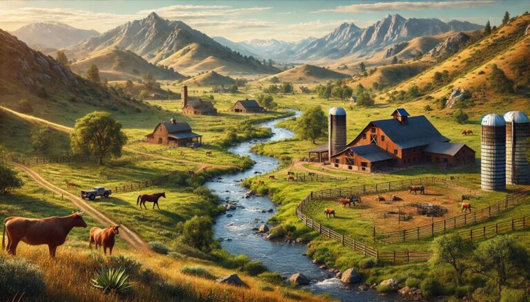
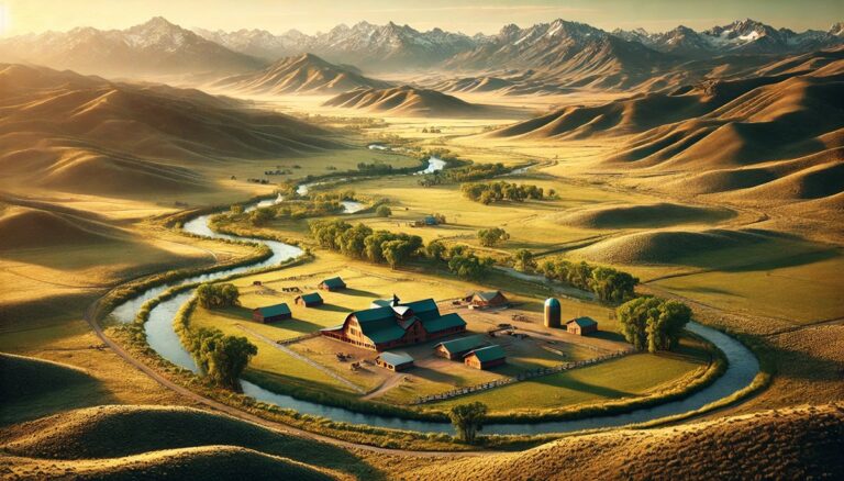
Top 10 Largest Ranches in Montana
Discover Montana's top 10 largest ranches, where vast landscapes, rich history, and iconic ranching traditions come to life. From the expansive Flying D Ranch to ...
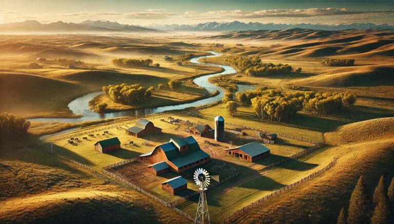
Top 10 Largest Ranches in Wyoming
Discover Wyoming’s top 10 largest ranches, where sprawling landscapes, rich histories, and iconic ranching traditions come to life. From the immense X Bar Ranch to ...
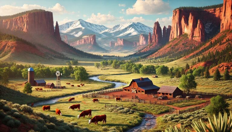
Top 10 Largest Ranches in Colorado
Explore Colorado's top 10 largest ranches, where vast landscapes, rich histories, and legendary ranching stories come to life. From the massive Waggoner Ranch to the ...
Top 10 Largest Watersheds in South America
Discover the top 10 largest watersheds in South America, from the mighty Amazon to the Orinoco! Explore their immense size, vital ecosystems, and rich history. ...
Top 10 Largest Watersheds in North America
Discover the top 10 largest watersheds in North America, from the mighty Mississippi to the iconic Colorado! Explore their vast size, ecological importance, and fascinating ...