- All
- Articles
- Blog
- Case Studies
- Featured
- Galleries
- Glossaries
- Products
- Services
- Top 10
- Videos
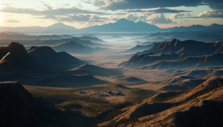
Skinwalker Ranch Maps
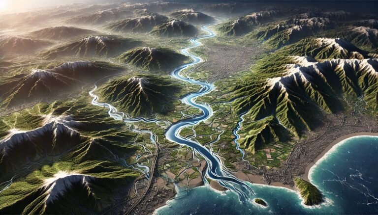
Discover the Matanuska-Susitna Basin Watershed Map, a window into Alaska’s dynamic ecosystems and water systems. Uncover its intricate rivers, seasonal flow patterns, and human impact, ...
Top 10 Largest Drainage Basins in the United States
Discover the top 10 largest drainage basins in the world, from the vast Amazon to the historic Indus River! Explore their immense size, critical roles ...
Top 10 Largest Drainage Basins in the World
Discover the top 10 largest drainage basins in the world, from the vast Amazon to the historic Indus River! Explore their immense size, critical roles ...

Watersheds in The United States
Discover the incredible diversity of U.S. watersheds, from the vast Mississippi River Basin to the pristine Arctic basins of Alaska. These lifelines shape ecosystems, provide ...
Top 10 Largest Watersheds in the United States
Discover the top 10 largest watersheds in the U.S., from the mighty Mississippi to the Red River! Learn how each watershed shapes ecosystems, history, and ...

Top 10 Largest Watersheds in the World
Discover the top 10 largest watersheds in the world, from the mighty Amazon to the vital Limpopo! Explore their immense size, unique features, and the ...

Architectural Massing Models
Discover the world of architectural massing models—vital tools that bring building concepts to life. Explore their role in design, scale, and form, and learn how ...
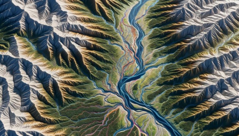
Japan Watershed Maps
Japan’s watersheds are vital for agriculture, energy, and ecosystems. This blog examines their importance, challenges, and how 3D watershed maps contribute to managing water resources, ...
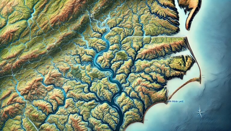
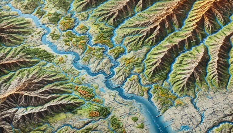
Yadkin-Pee Dee River Watershed Map
Discover the Yadkin-Pee Dee River Watershed, a vital Southeastern waterway connecting ecosystems and communities. Explore its intricate networks and diverse habitats through the watershed map. ...

Fox River Watershed (Wisconsin) Map
Discover Wisconsin’s Fox River Watershed, a vibrant network of rivers and ecosystems shaping communities and industries. Explore its intricate connections through the Fox River Watershed ...

Little Tennessee River Watershed Map
Discover the Little Tennessee River Watershed, a vibrant Appalachian treasure. Explore its intricate river networks and diverse ecosystems through the watershed map. Learn how 3D ...

Roaring Fork River Watershed Map
Discover Colorado’s Roaring Fork River Watershed, a vibrant ecosystem connecting alpine headwaters to lush valleys. Explore its intricate networks and diverse habitats through the Roaring ...
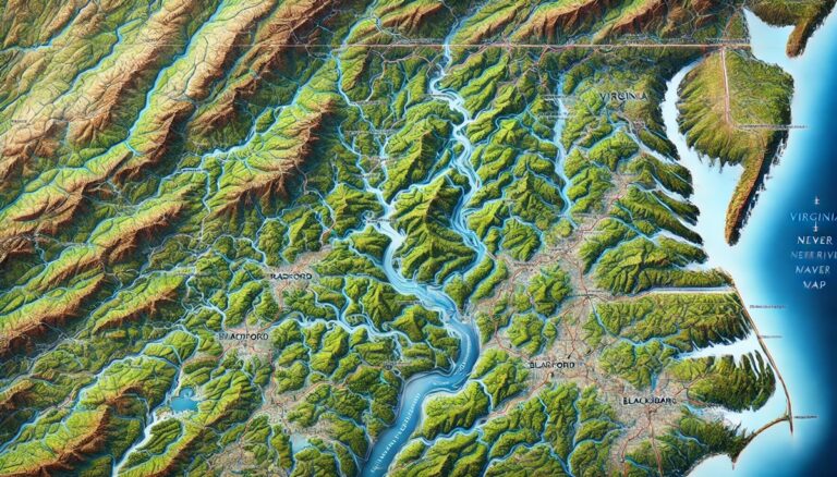
New River Watershed (Virginia) Map
Discover the Virginia New River Watershed, a historic and ecological marvel. Explore its intricate river networks and diverse habitats through the New River Watershed Map. ...
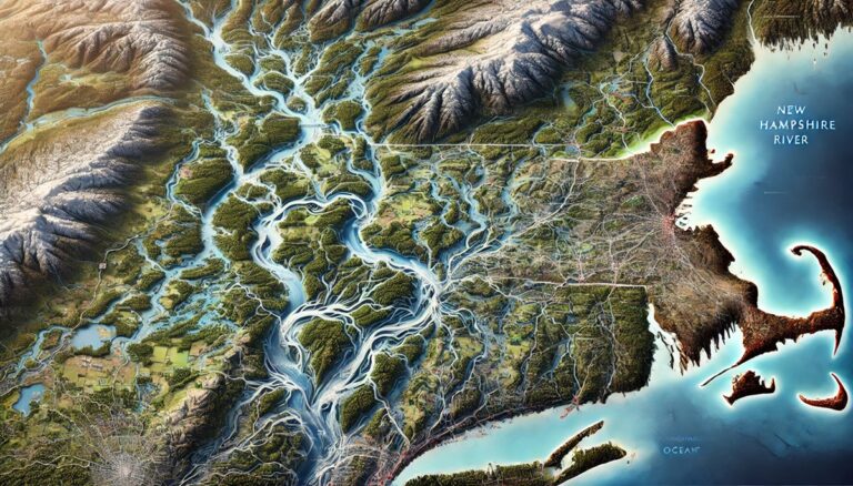
Merrimack River Watershed Map
Explore the Merrimack River Watershed Map, uncovering its rivers, ecosystems, and how 3D mapping innovations enhance conservation and sustainable management.
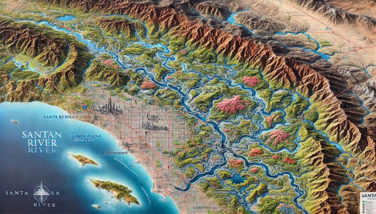
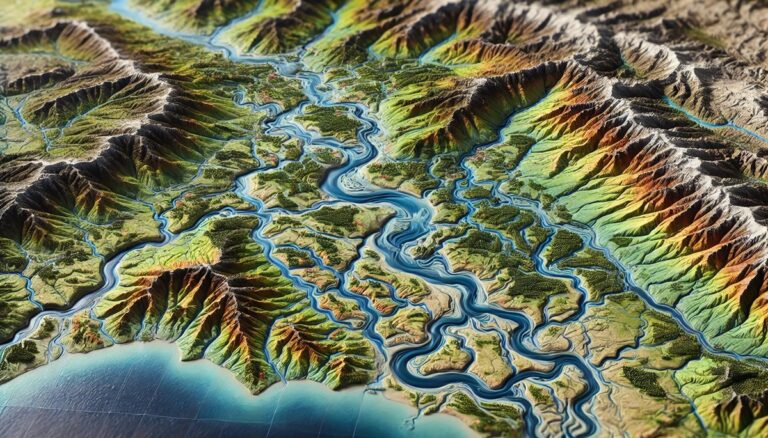
Santa Ana River Watershed Map
Discover Southern California’s Santa Ana River Watershed, a vital resource connecting nature and communities. Explore its intricate river systems, wetlands, and biodiversity through the Santa ...

Top 10 Largest Open Pit Mines in the World
Explore the awe-inspiring world of the largest open pit mines, massive man-made marvels that reveal Earth's hidden treasures. From the colossal Bingham Canyon to Chile's ...
Top 10 Minecraft Characters
Discover the top 10 Minecraft characters, from the mighty Ender Dragon to the mischievous Slime! Explore their unique traits, history, and legendary stories that make ...
Top 10 Most Amazing Maps
Discover the top 10 most amazing maps, from the historic Piri Reis map to the revolutionary Google Earth! Explore how each map has shaped our ...
Top 10 Flood Maps
Discover the top 10 flood maps, showcasing vital tools used to predict and manage flood risks! From FEMA’s flood zones to global flood forecasts, these ...

Top 10 Yellowstone Maps
Discover the top 10 Yellowstone maps, highlighting the park's stunning landscapes and unique features! From early geological surveys to modern climate change data, these maps ...

Top 10 GIS Maps
Discover the top 10 GIS maps, from global land cover to disaster risks and population density! Explore how these powerful maps shape our understanding of ...

Top 10 Earth Maps
Discover the top 10 Earth maps, from ancient projections to modern masterpieces! Explore the fascinating history, unique features, and groundbreaking designs that have shaped our ...

Top 10 Call of Duty Maps
Dive into the top 10 Call of Duty maps, from the intense, fast-paced action of Nuketown to the sprawling landscapes of Verdansk! Discover the history, ...

Top 10 Bible Maps
Discover the top 10 Bible maps, offering a visual journey through key biblical events! Trace the Exodus, the life of Jesus, and Paul’s missions with ...
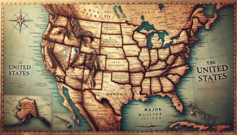
Top 10 State Maps
Discover the top 10 state maps, showcasing the evolution of the U.S. from early explorations to modern-day surveys. Explore the rich history, boundaries, and development ...

Top 10 Florida Maps
Discover the top 10 Florida maps, from the first European depictions to modern surveys! Explore the rich history, geography, and transformation of the Sunshine State. ...

Top 10 Flat Earth Maps
Discover the top 10 flat Earth maps, from ancient civilizations to modern theories. Explore their unique designs, fascinating history, and how they’ve influenced our understanding ...
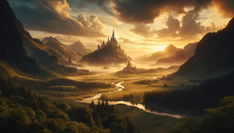
Top 10 Fantasy Maps
Discover the top 10 fantasy maps that bring magical worlds to life! From the vast landscapes of Middle-Earth to the whimsical Land of Oz, these ...