
Satellite Splendors: A Bird’s-eye View of Virginia
Virginia, often known as the “Mother of Presidents”, is a state replete with rich history, diverse landscapes, and a unique juxtaposition of coastal beauty and mountainous majesty. While its ground-level wonders have been extensively celebrated, there’s an entirely different, equally captivating narrative awaiting those who choose to explore Virginia from the skies. Let’s embark on an aerial adventure over Virginia using the magic of satellite maps.
Understanding Satellite Mapping
Before we dive into Virginia’s geographical wonders, let’s briefly touch upon satellite mapping. In essence, satellite mapping is the art and science of capturing high-resolution images of Earth’s surface using orbiting satellites. These images, once stitched and processed, offer us a panoramic view of vast terrains, allowing for comprehensive study and appreciation.
Virginia’s Expansive Geographical Canvas
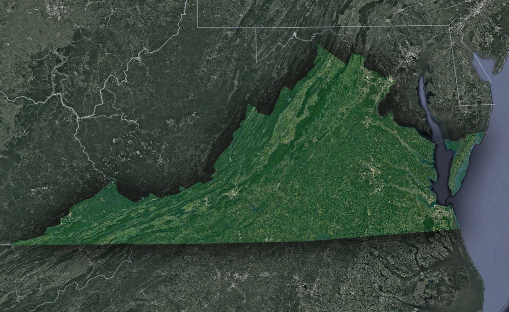
The geographic expanse of Virginia is truly a spectacle to behold, especially when gazed upon from the vastness of the cosmos. Its varying landscapes tell tales of epochs gone by and of nature’s ceaseless artistry.
Majestic Blue Ridge Mountains: The western frontier of Virginia is majestically marked by the Blue Ridge Mountains, a prominent subrange of the grand Appalachian Mountains. These ancient formations, sculpted over millions of years, present a mesmerizing tableau from the sky. Satellite views offer a detailed canvas where the rhythmic undulations of these mountains stand in stark contrast to the tranquility of the valleys below, which nestle tranquil rivers and meandering streams. Among these valleys, the Shenandoah Valley stands out as a verdant gem. Located cozily between the Blue Ridge and the overarching Appalachians, it unfolds like a lush green carpet, offering a scenic treat to the aerial observer.
Tidewater’s Tranquility and the Dynamic Coastal Plains: As one’s gaze shifts eastward from the mountains, the landscape undergoes a dramatic transformation. Virginia’s topography gracefully morphs into the Tidewater region. This zone is characterized by its sprawling, flat plains that dance with the rhythmic ebb and flow of the many tributaries that eventually pour their essence into the iconic Chesapeake Bay. The coastal plains of Virginia, meanwhile, are a visual symphony of diverse ecosystems. These plains, when viewed from space, appear as an intricate mosaic of shimmering estuaries, verdant wetlands, and dense forests, each element adding to the region’s rich biodiversity.
Cityscapes from the Skies – Virginia’s Urban Tapestry: While nature’s grandeur is evident across the state, Virginia’s urban sprawls offer their own brand of magnificence from a bird’s-eye view. Cities like the historically rich Richmond and the ever-vibrant Northern Virginia corridor, adjacent to D.C., present a dynamic urban footprint on satellite imagery. These images reveal the intricate web of infrastructure developments, from sprawling highways to architectural wonders. They allow observers to trace transportation arteries that pulse with life and spot urban green oases that offer respite amidst the concrete. Together, they narrate a tale of a state that seamlessly marries historical charm with modern progress.
Landmarks From Above
Virginia’s iconic landmarks present a new aura when viewed from space:
Colonial Williamsburg: This historic district, showcasing 18th-century colonial life, provides a unique aerial view – brick-red rooftops, symmetrically planned streets, and expansive green gardens.
Arlington National Cemetery: A place of reverence and reflection, the cemetery, with its meticulous layout and the Arlington House, offers a poignant satellite view.
Great Falls of the Potomac: The cascading water and rugged rocks of this natural landmark create a mesmerizing pattern, making it an interesting spot for satellite imagery enthusiasts.
Satellite Mapping: Beyond Aesthetics
While the visual spectacle of Virginia from space is undeniable, satellite imagery serves deeper purposes:
Environmental Conservation: Using satellite imagery, researchers can monitor deforestation, changes in wetland areas, and track the health of the Chesapeake Bay.
Urban Planning: Satellite maps provide invaluable insights into urban sprawl, infrastructure development, and land use patterns, assisting policymakers in sustainable planning.
History and Archaeology: Satellites can reveal historical sites, old trails, and ancient structures, providing context and insights for historians and archaeologists.
Experience Virginia from the Heavens
Modern technology has democratized satellite imagery. Today, anyone with internet access can explore Virginia from above, using platforms like Google Earth. So, whether you’re a resident or someone living miles away, you can embark on a virtual tour of this beautiful state, discovering its hidden patterns, majestic landscapes, and evolving stories.
Virginia, with its meld of historic landmarks, natural wonders, and bustling urban centers, is a state of contrasts and harmonies. Satellite maps of Virginia not only highlight its beauty but also weave a tale of its topographical diversity, its historical evolution, and its dynamic ecosystems. As we complete this celestial tour, we are reminded that sometimes, to truly appreciate the beauty of a place, we must change our perspective and look from the heavens above.
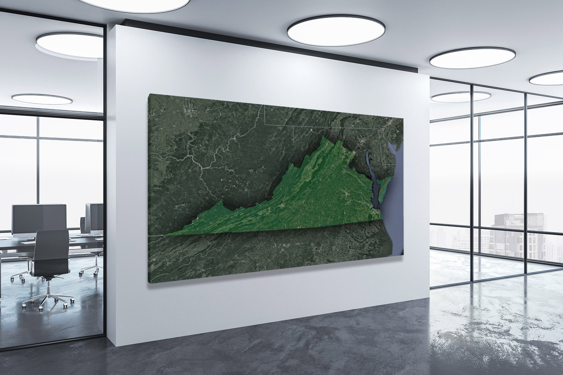
Check out WhiteClouds’ 3D Maps for more information on satellite maps of Virginia. 2D Canvas Print Satellite Maps of Virginia are also available.
Contact us today to learn more about our 3D services and how we can help you achieve your goals.