
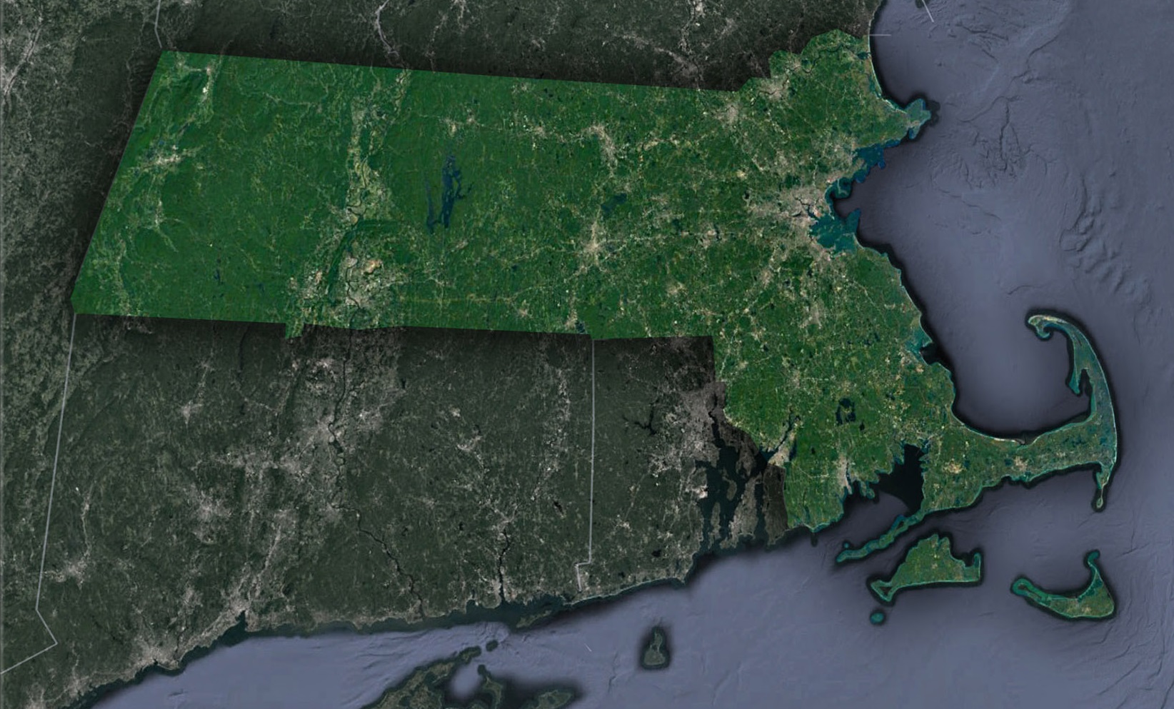
The Bay State from the Skies: A Satellite’s Tour of Massachusetts
Massachusetts, often called the Bay State, is an exquisite blend of historical imprints and geographical grandeur. From its earliest days shaping American history to its bustling urban life, the state presents a rich tapestry waiting to be explored. But imagine witnessing this blend not from the streets or books, but from the vastness of space. With satellite imagery, Massachusetts unravels like a masterpiece, showcasing its vast terrains and embedded stories.
Satellite Maps: Our Gateway to the Heavens
So, what magic allows us this sweeping aerial exploration? Enter the satellite map, our technological masterpiece. This advanced representation, beamed back from satellites in Earth’s orbit, offers panoramic views of our planet. Far from mere photographs, they encapsulate detailed images across varied spectrums, revealing a vibrant, ever-changing Earth. These maps aren’t static; they vividly display real-time shifts, from seasonal transitions to rapid urban sprawls.
Maritime Majesty: Cape Cod, Martha’s Vineyard, and Nantucket
Hovering over the eastern edge, satellites reveal the unmistakable arm of Cape Cod, gracefully arching into the Atlantic Ocean. This sandy expanse with its dunes, beaches, and tidal inlets draws the eye instantly. But the Atlantic’s allure doesn’t stop there. Nestled further out are the enchanting islands of Martha’s Vineyard and Nantucket, shimmering like emerald treasures amidst the ocean’s vastness.
Boston: The Nexus of Tradition and Modernity
Venturing north-east, we encounter Boston, a city that marries history with urban sophistication. Satellites shed light on Boston’s detailed layout, revealing the Charles River’s winding grace as it carves its path through the cityscape. Parks like the Boston Common, a lush historical relic, punctuate the urban grid, giving the metropolis its unique character.
Rolling Serenity: The Berkshires
As our satellite-guided voyage turns west, Massachusetts’ landscape evolves. The Berkshires rise, a region synonymous with picturesque beauty. Here, a patchwork of hills and valleys, painted in various hues of green, displays dense forests, serene lakes, and meandering rivers, beckoning nature lovers and poets alike.
Merrimack Valley: Echoes of Industrial Revolution
Hovering over the Merrimack Valley, we’re reminded of America’s industrious spirit. Satellite images trace the stories of cities like Lowell and Lawrence, where historical mill complexes and canal systems interlace with nature, commemorating a rich industrial legacy.
Pioneer Valley: A River’s Artistry
The heart of Massachusetts reveals the Pioneer Valley, sculpted over time by the Connecticut River. This majestic river, New England’s longest, paints a vivid image from the sky. Not far from it, the unique crescent shape of the oxbow lake near Northampton stands as a testament to nature’s ever-evolving canvas.
Historical Footprints: Plymouth and Salem
Some places, though modest in size, command monumental historical significance. Plymouth, marking the Mayflower Pilgrims’ inaugural touchpoint, and Salem, with its tales of witch trials, showcase distinctive patterns that the satellite’s eye captures, blending coastal beauty with poignant history.
A Beacon of Engineering: The Quabbin Reservoir
Drawing our attention to central Massachusetts is the sprawling Quabbin Reservoir, a testament to human ingenuity. Serving as Boston’s lifeline, its vast azure expanse contrasts the verdant surroundings, reminding us of the towns submerged in its making.
Traditional maps, though rich in heritage, can’t match the dynamic, detailed, and vivid depictions satellite maps provide. Through them, we witness the world in its present form, its geographical intricacies, and the imprints of its history. In Massachusetts’ context, the satellite map paints a story of its diverse landscapes and historical resonance.
In conclusion, Massachusetts, despite its modest size, holds a universe of stories. Its blend of history, culture, and geography crafts a narrative that is beautifully magnified when seen from the heavens. This bird’s-eye tour, powered by satellite technology, is an invitation to delve deeper, to explore, and to rediscover the enduring spirit of the Bay State.
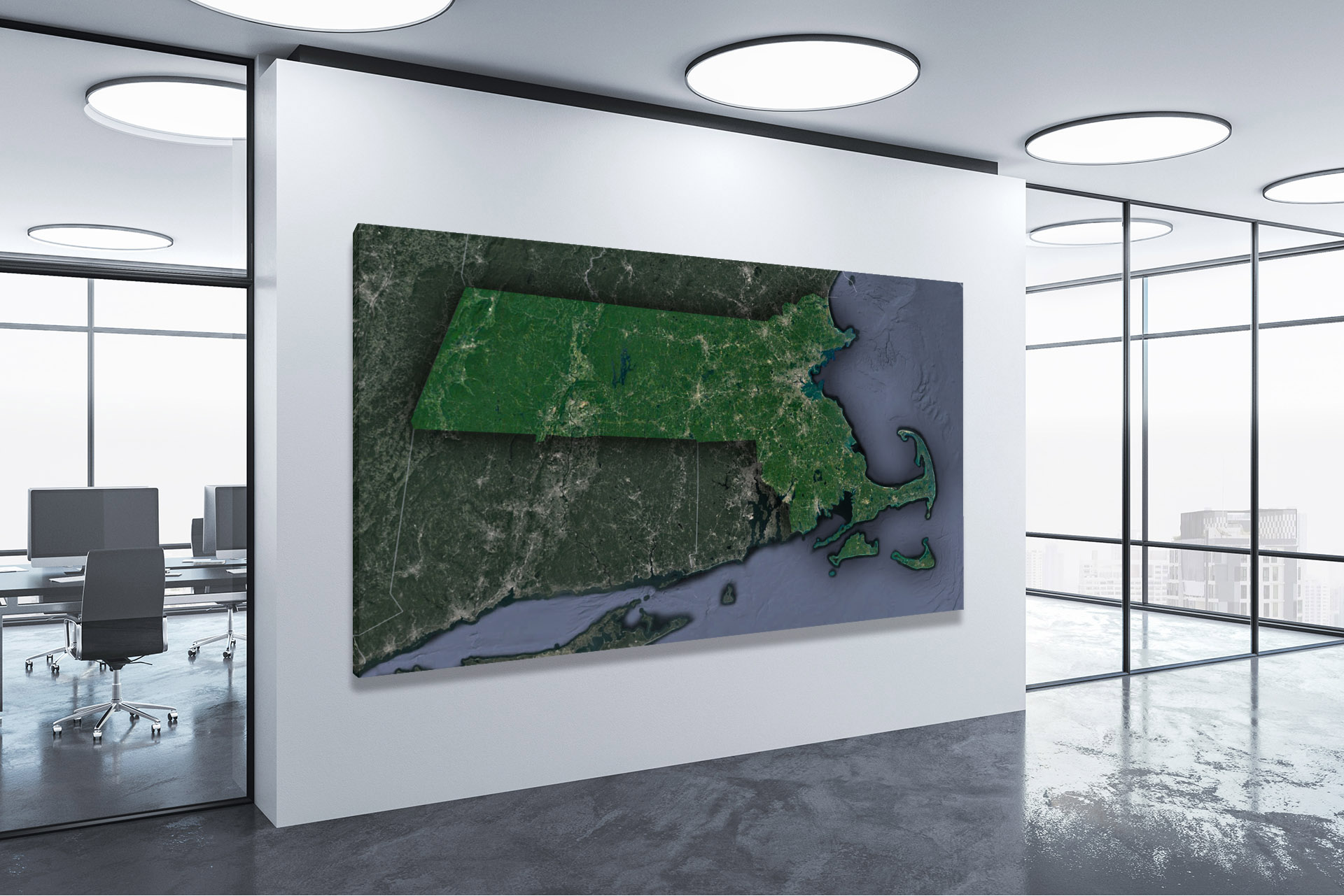
Check out WhiteClouds’ 3D Maps for more information on satellite maps of Massachusetts. 2D Canvas Print Satellite Maps of Massachusetts are also available.
Contact us today to learn more about our 3D services and how we can help you achieve your goals.