
Tennessee’s Geographical Marvels Unveiled: A Deep Dive into the 3D Topographic Map
Tennessee, the Volunteer State, is a land of stunning diversity, from the majestic Smoky Mountains to the fertile valleys and winding rivers that crisscross its terrain. In our immersive exploration, we venture into the fascinating world of a 3D topographic map, providing an unparalleled view of Tennessee’s breathtaking landscapes and the secrets they hold. Join us on this journey as we uncover the geographical marvels of Tennessee in extraordinary depth.
The Enigmatic World of 3D Topographic Maps
Before we dive into the geographical wonders of Tennessee, let’s first grasp the essence of 3D topographic maps. These innovative maps provide an exceptional visualization of the Earth’s surface, offering a lifelike representation of elevation, terrain, and natural features. Unlike traditional topographic maps, 3D maps bring Tennessee’s landscapes to life, allowing us to explore the state’s remarkable geography in unprecedented detail.
 3D Topographic Map of Tennessee-La Vergne, 1:24,000 quad, 2022, USGS
The Third Dimension: Elevation’s Impact
One of the most striking features of 3D topographic maps is their ability to represent elevation with unmatched accuracy. In Tennessee, this dimension is a crucial factor in understanding the state’s diverse landscapes. From the highest peaks to the lowest valleys, 3D maps vividly depict the vertical dimension of the terrain, providing a tangible sense of Tennessee’s topography.
Terrain Visualization: A New Perspective
3D topographic maps offer an immersive experience by bringing Tennessee’s terrain into focus. Every hill, ridge, and valley is presented in stunning detail, allowing us to appreciate the nuances of the state’s geography. With this perspective, we can uncover hidden features, explore the effects of erosion, and grasp the interconnectedness of Tennessee’s landscapes in ways that traditional maps simply cannot capture.
 3D Topographic Map
The Great Smoky Mountains
The Majestic Peaks and Valleys: Our journey through Tennessee’s 3D topographic map commences in the eastern part of the state, where the Great Smoky Mountains reign supreme. These iconic mountains, part of the Appalachian range, are characterized by their rugged terrain and towering peaks.
As we explore the 3D map, the Smoky Mountains come to life, with elevation gradients showcased through rich colors and intricate contours. Clingmans Dome, the highest point in Tennessee, stands tall, beckoning adventurers with its 3D prominence. The immersive experience allows us to virtually traverse these peaks and valleys, offering a taste of the Smokies’ magnificence.
The Appalachian Trail: An Epic 3D Journey: The 3D topographic map vividly illustrates the Appalachian Trail’s winding path through the Smoky Mountains. Hikers and nature enthusiasts can virtually trek along this renowned long-distance trail, immersing themselves in the terrain’s intricacies. The 3D visualization grants us a unique perspective on the challenging ascents, exhilarating descents, and breathtaking vistas that the trail offers.
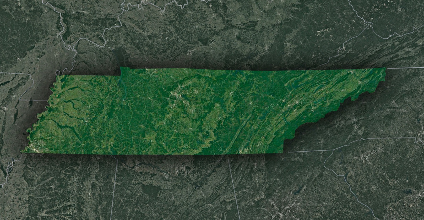 Satellite Map of Tennessee
The Cumberland Plateau
Rolling Plateaus and Hidden Gorges: Moving westward across Tennessee’s 3D map, we enter the Cumberland Plateau, a region defined by rolling plateaus, deep gorges, and lush forests. This geological marvel is brought to life through the 3D representation, showcasing the gradual elevation changes and the hidden treasures of the plateau.
The Cumberland Plateau’s canyons and ravines, carved by millennia of water erosion, are unveiled in stunning detail. 3D visualization allows us to appreciate the grandeur of places like Fall Creek Falls, the highest waterfall in the eastern United States, in a whole new dimension.
The Influence of Waterways: Tennessee’s 3D topographic map also highlights the intricate network of rivers and streams that crisscross the Cumberland Plateau. These waterways are an essential element in shaping the terrain, as their meandering paths are revealed in striking detail. Understanding their impact on the plateau’s topography is crucial to appreciating the region’s beauty and ecological significance.
The Tennessee Valley
A Fertile Basin and River Landscapes: Continuing our journey, we arrive at the Tennessee Valley, a vast basin that spans much of the state. The 3D map captures the gentle slopes and fertile plains of this region, where agriculture thrives amidst a backdrop of rolling hills and winding rivers.
The Tennessee River, prominently featured in the 3D visualization, is a defining feature of the valley. Its course, complete with contour lines and elevation gradients, reveals the river’s impact on the surrounding terrain, from the Great Bend of the Tennessee to the dynamic floodplains that enrich the land.
The Mississippi Alluvial Plain
Expansive Lowlands and Riverine Ecosystems: Our journey concludes in the western part of Tennessee, where the 3D topographic map unveils the Mississippi Alluvial Plain, a region characterized by vast lowlands, fertile soil, and intricate riverine ecosystems.
This portion of the map showcases the flat expanses of the Mississippi floodplain and the web of rivers and streams that define it. Elevation contours illustrate the dynamic relationship between the land and water, highlighting the role of rivers like the Mississippi, Hatchie, and Forked Deer in shaping this region’s unique topography.
The Geographical Tapestry of Tennessee
The Dynamic Interplay of Land and Water: Throughout our exploration, it becomes clear that water, in all its forms, plays a central role in shaping Tennessee’s topography. Rivers, streams, and waterfalls are highlighted in the 3D map, offering insight into the state’s hydrological systems and the impact of water on the land.
The geological history of Tennessee is also intricately woven into its 3D topographic map. From the ancient Appalachian Mountains to the ever-changing dynamics of riverine ecosystems, the 3D visualization tells a story of millions of years of geological evolution.
As we conclude our exploration of Tennessee’s 3D topographic map, we depart with a profound appreciation for the state’s diverse and captivating landscapes. From the towering peaks of the Great Smoky Mountains to the fertile valleys of the Tennessee River, Tennessee’s topography is a testament to its rich natural heritage.
Understanding Tennessee’s 3D topographic map isn’t just about navigation; it’s an invitation to immerse yourself in the state’s geological history, ecological diversity, and cultural significance. Whether you are an intrepid adventurer, a geography enthusiast, or simply someone eager to explore the wonders of the natural world, Tennessee’s 3D topography invites you to embark on a journey of discovery and wonder, where the landscape comes alive in three dimensions.
Check out WhiteClouds’ 3D Topographic Maps for more information on a topographic map of Tennessee. 2D Canvas Print Satellite Maps of Tennessee are also available.

Contact us today to learn more about our 3D services and how we can help you achieve your goals.