
Maryland Unveiled: A Satellite Odyssey through ‘America in Miniature’
Maryland, often termed ‘America in Miniature’, presents a kaleidoscope of terrains – coastal shores, sprawling cities, majestic mountains, and verdant farmlands. Thanks to the wonders of satellite imagery, we can appreciate Maryland’s multifaceted beauty from an elevated vantage point. Let’s embark on this celestial journey across the Old Line State.
The Satellite Map: A Guided Overview
Before diving deeper, it’s imperative to understand our compass: the satellite map. These are more than mere images. Captured from satellites orbiting Earth, they present a fusion of advanced science, technology, and art. Beyond just photographs, they gather diverse spectral data, revealing Earth’s secrets often concealed from the naked eye.
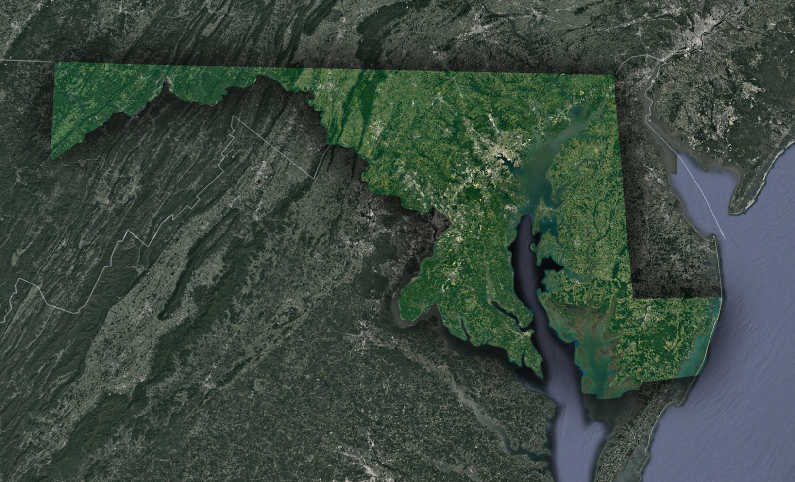
Chesapeake’s Grandeur: The vast Chesapeake Bay, the continent’s largest estuary, is Maryland’s defining geographical feature. From space, its expansive beauty, interspersed with tributaries, islands, and peninsulas, forms a captivating maritime tapestry, underscoring its ecological and economic significance.
Whispers of the Appalachians: As we move west, the terrains transition to the undulating Appalachian Mountains. The satellite lens reveals the breathtaking Ridge-and-Valley Appalachians and the towering Backbone Mountain, paying homage to nature’s artwork and the region’s coal-mining heritage.
Cityscapes: Baltimore and Its Neighbors: In stark contrast, Maryland’s urban heartbeats, including Baltimore, Annapolis, and the D.C. suburbs, showcase a dynamic interplay of roads, harbors, and landmarks. Encircled by nature, these urban jewels highlight Maryland’s balanced dance between development and conservation.
Atlantic Allure: Oceanfronts and Wild Islands: The state’s eastern embrace with the Atlantic unfolds spectacularly. Satellite views of Ocean City’s sandy stretches juxtaposed against Assateague Island’s unspoiled beauty and wild horses epitomize nature’s enduring presence.
Farmlands of Central Maryland: Central Maryland appears as a patchwork quilt of farms, forests, and quaint towns. This agricultural heartland, with its shifting seasonal palettes, paints a picture of Maryland’s farming legacy.
Nature’s Quiet Corners: Wetlands and Woodlands: Hidden gems like the Blackwater National Wildlife Refuge showcase Maryland’s diverse ecosystems. The refuge’s satellite imagery presents a stunning canvas of marshes and waterways, celebrating the state’s rich biodiversity.
Echoes of the Past from Above: Historic markers, like Fort McHenry, leave indelible imprints on the satellite imagery, silently narrating tales of colonial settlements, wars, and ancient pathways.
Journey’s End
Satellite imagery offers a fresh perspective on Maryland’s mosaic of ecosystems, cultures, and tales. From green expanses to bustling cities, each contour and color weaves a narrative, beckoning the curious to delve into Maryland’s depths.
Compared to traditional maps, satellite maps excel in contemporaneity and depth. They visualize current conditions, be it nature’s caprice or human endeavors. For a region as multifaceted as Maryland, these maps illuminate its innate geographical splendor. Armed with this understanding, let’s soar above and relish the vistas of Maryland.
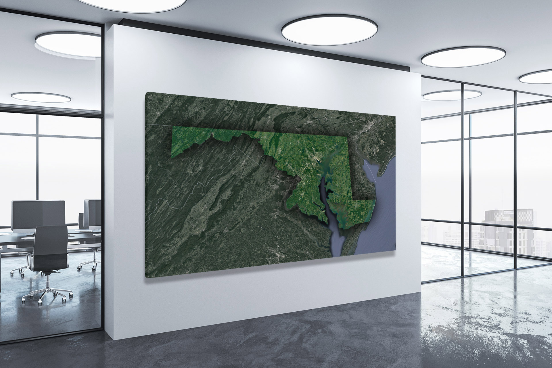
Check out WhiteClouds’ 3D Maps for more information on satellite maps of Maryland. 2D Canvas Print Satellite Maps of Maryland are also available.
Contact us today to learn more about our 3D services and how we can help you achieve your goals.