
Satellite Map of the USA: An Aerial Odyssey Across the Land of the Free
From the Atlantic’s shimmering coastlines to the rugged terrains of the Pacific Northwest, the USA is an amalgamation of diverse landscapes and stories. Stretching over 3.8 million square miles, every inch has a narrative, and there’s no better way to visualize this vastness than through satellite imagery. Embark on an aerial odyssey across the United States of America and witness its grandeur from a celestial viewpoint.
The Satellite Map: America’s Overhead Perspective
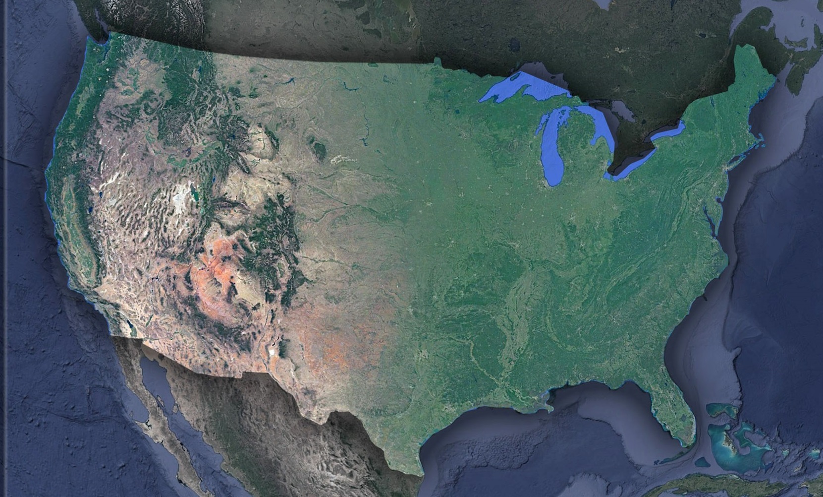
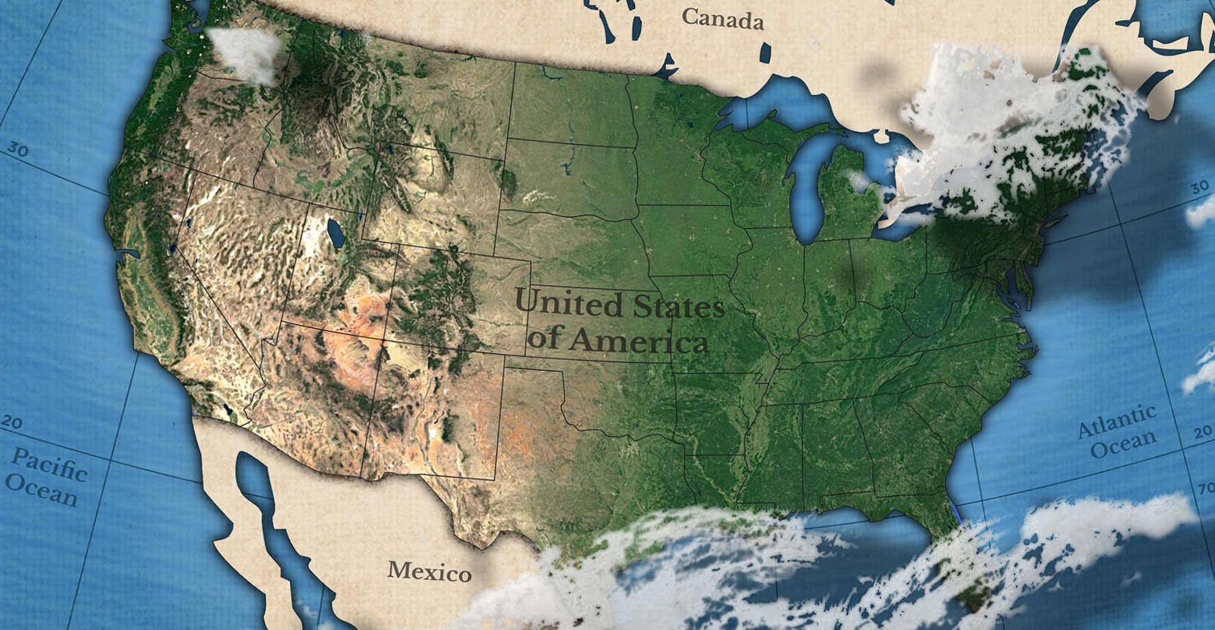
Before diving into the geographical wonders, let’s appreciate the tool that gifts us this bird’s-eye view: the satellite map. These maps aren’t mere photographs; they are amalgamations of data captured from satellites thousands of miles above Earth. Equipped with sophisticated sensors, these orbiting marvels gather visual information across various spectrums. This data, when processed, stitched, and refined, brings forth detailed and up-to-date images of vast terrains. Such aerial depictions vividly showcase landforms, water bodies, urban expanses, and even meteorological events, making them invaluable for geographers, environmentalists, planners, and curious minds alike.
Eastern Seaboard: Dawn of America’s History
Beginning at the continent’s eastern frontier, the Atlantic Coast majestically unfurls, showcasing a vibrant mosaic of bays, peninsulas, and islands. From Maine’s rugged, rocky coastline to the sunlit, sandy stretches of Florida, every twist and turn of the shore narrates stories of early exploration, foundational colonization, and transformative revolutions. Sprawling metropolises like New York, Boston, and Miami glitter from space with their vast grids, bustling harbors, iconic bridges, and skyscrapers, each a confirmation to the region’s profound influence on trade, arts, culture, and historical evolution.
Heartland Panorama: A Symphony of Plains and Rivers
Venturing further inland, one is greeted by the expansive, mesmerizing tapestry of the Great Plains. Immense stretches of farmland, painted in diverse shades of green, amber, and gold, stand interspersed with iconic rivers, most notably the mighty Mississippi, which charts its course southward with elegance and majesty. This pulsating heartland, a cornerstone for American agriculture, not only feeds the nation but sings of its rich, agricultural heritage and traditions.
From the Rust Belt to Silicon Valleys: Narratives of Urban Evolution
A glimpse from the orbit showcases more than just America’s natural grandeur. The urban imprints, ranging from the historically rich industrial core of the Rust Belt to the modern, tech-driven strongholds of Silicon Valley, narrate a tale of America’s socio-economic metamorphosis. Sprawling cities, alive with ports, towering skyscrapers, and suburban expanses, act as windows into the nation’s transition from a steel and coal behemoth to the global vanguard of technological innovation.
Majestic Rockies: The Continent’s Formidable Backbone
Travelling further westward, the land begins its dramatic ascent, giving way to the awe-inspiring Rocky Mountains. This formidable mountain range, which extends from New Mexico’s arid landscapes to the cold terrains of the Canadian border, serves as both a geologist’s dream and an adventurer’s paradise. Snow-kissed peaks, even amidst the warmth of summer, expansive alpine meadows, and profound canyons provide glimpses into millennia of geological activity and nature’s relentless sculpting.
Desert Landscapes: A Symphony of Earth’s Sculpting
Past the towering Rockies, the terrain transforms into the breathtakingly arid vistas of the Sonoran, Mojave, and Great Basin deserts. The land here weaves a palette rich in reds, oranges, and earthy browns, with iconic formations such as the Grand Canyon and Monument Valley standing tall as nature’s magnum opus. Far from being just barren stretches, these deserts pulse with unique ecosystems, concealing myriad secrets and tales of survival amidst the sands.
The Pacific Odyssey: Where Terra Firma Embraces the Vast Ocean
Our panoramic voyage culminates along the Pacific Coast, a theatrical amalgamation of rugged land and boundless sea. Majestic cliffs that have weathered millennia, lush temperate rainforests echoing with whispers of rain, and sun-kissed beaches paint this western frontier. Urban gems like Los Angeles and San Francisco cradle the coastline, basking in their oceanic aura, while the Pacific Northwest, with its verdant expanses, narrates epics of primordial forests, rich biodiversity, and deep-rooted indigenous histories.
A Nation’s Story from the Skies
The satellite map of the USA offers more than a geographical overview; it’s a tapestry woven with tales of human endeavors, natural wonders, and historical milestones. As technology evolves, so does the clarity and depth of these aerial images, making every revisit a chance to discover a new story or detail.
In its essence, this map serves as a testament to America’s vastness and diversity. Whether it’s the serenity of the Alaskan tundras, the hustle of Texan oil fields, or the melodies of the Deep South, every pixel paints a part of the grand American dream. With satellites as our vantage point, let’s continue exploring, understanding, and cherishing the Land of the Free from above!
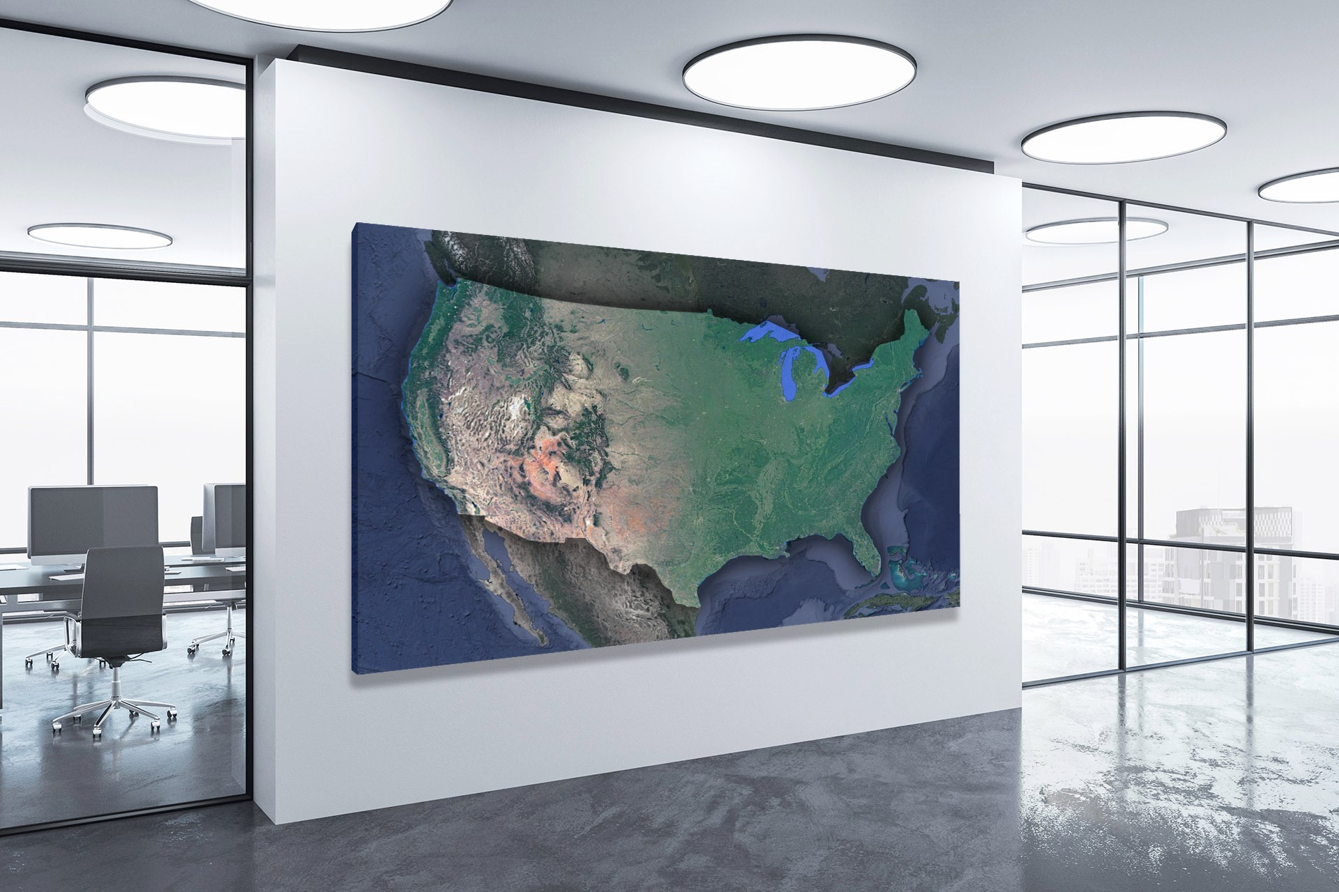
Check out WhiteClouds’ 3D Maps for more information on satellite maps of the USA. 2D Canvas Print Satellite Maps of USA are also available.
Contact us today to learn more about our 3D services and how we can help you achieve your goals.