
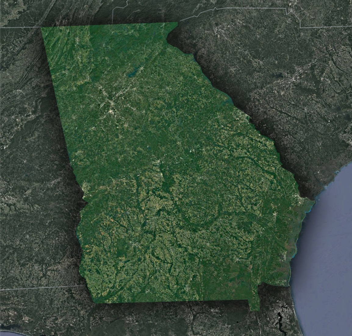
Georgia from the Stars: A Satellite’s Glimpse into the Peach State
The state of Georgia has always been a blend of Southern charm, historical significance, and natural beauty. But there’s a whole new perspective that many of us fail to consider – a view from thousands of miles above the earth, through the unblinking eyes of satellites. Let’s embark on an aerial journey over Georgia, revealing the state’s geological wonders, urban accomplishments, and nature’s artwork that the naked eye might miss.
The Majestic Blue Ridge Mountains
The north of Georgia is home to a portion of the renowned Appalachian Mountain range, specifically the Blue Ridge Mountains. From space, this region appears as a series of undulating green waves, with shadows cast by deep valleys and peaks. These mountains aren’t just geologically impressive; they’re a testament to the ancient processes that shaped the East Coast of the United States. Amidst these highlands, you can spot the serpentine courses of rivers like the Chattahoochee, which winds its way southwards.
Atlanta’s Urban Footprint
Georgia’s capital, Atlanta, is known for its impressive skyline, bustling streets, and historic sites. On a satellite map, the city stands out like a neural hub, with roadways radiating in all directions. These roads, particularly the loops of I-285 and the stretch of I-75, are clearly visible, painting a portrait of urban planning and growth. It’s not just roads; the green patches amidst the urban sprawl – places like Piedmont Park – emphasize the city’s commitment to preserving green spaces.
Coastal Wetlands and Barrier Islands
As you move to the southeastern edge of the state, the landscape shifts from the urban to the natural, with Georgia’s coast making a grand appearance. The intricate dance between land and water here is simply breathtaking. The salt marshes, a golden-green expanse during the day, play a crucial role in the local ecosystem. These wetlands, together with the barrier islands like Jekyll Island and Cumberland Island, form a defensive line against the Atlantic’s fury. The contrasts between sandy shores, green wetlands, and deep blue waters create a visual symphony on satellite images.
The Agricultural Heartland
Central Georgia, often referred to as the heart of the state, boasts vast stretches of farmland. From up high, these areas manifest as patchworks of various crops, particularly the state’s famed peaches, and a plethora of other produce like cotton, peanuts, and corn. The unique patterns formed by crop rotation and the intricate irrigation systems are a testament to Georgia’s agricultural prowess and history.
Okefenokee Swamp: Nature’s Mosaic
Towards the south of Georgia lies the Okefenokee Swamp, one of the largest intact freshwater ecosystems in the world. On a satellite image, the swamp is a mosaic of shimmering water bodies, islands, and wetlands. This area is a haven for biodiversity, and its importance extends beyond state borders, serving as a crucial wetland for North America.
Reservoirs and Lakes
Georgia’s thirst for freshwater is quenched by numerous reservoirs and lakes, prominently visible even from space. The most notable among these is Lake Lanier, which appears as a sprawling blue mass, dotted with islands and peninsulas. These water bodies, surrounded by dense woodlands, emphasize the delicate balance between human needs and nature’s bounty.
A satellite’s perspective on Georgia isn’t just about identifying landmarks and geographic features; it’s about understanding the intricate balance of nature, history, and human endeavor. The Peach State, with its mountains, swamps, cities, and coasts, stands as a testament to the diversity and beauty of the American South. Each time we look at these satellite images, we’re reminded of our responsibilities – to preserve, protect, and celebrate this breathtaking land we call home.
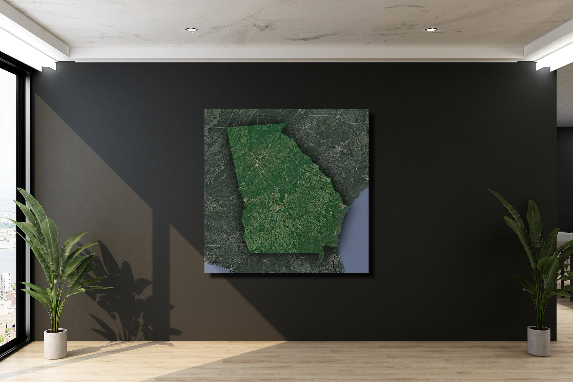
Check out WhiteClouds’ 3D Maps for more information on satellite maps of Montana. 2D Canvas Print Satellite Maps of Georgia are also available.
Contact us today to learn more about our 3D services and how we can help you achieve your goals.