United States Watershed Maps
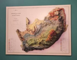
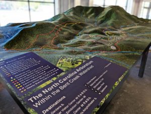
The U.S. watersheds, including the Mississippi, Colorado, and Great Lakes Basins, are vital for agriculture, industry, and ecosystems. Learn how modern technologies like 3D mapping, GIS, and remote sensing are used to manage these vital water systems. These tools help ensure sustainable water use, address challenges such as water scarcity and climate change, and improve resilience to future water-related challenges.