Tag: Maps

Cameroon Watershed Maps

Cameroon Watershed Maps

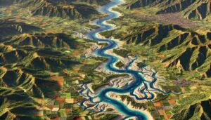
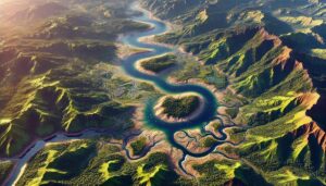
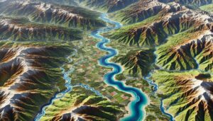
Cameroon’s watershed maps are vital tools for managing water resources, preventing floods, and ensuring sustainable water use. These maps guide water distribution for agriculture, industry, and communities, while also helping the country adapt to climate change challenges.

Read More »
Armenia Watershed Maps

Armenia Watershed Maps

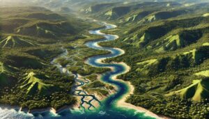
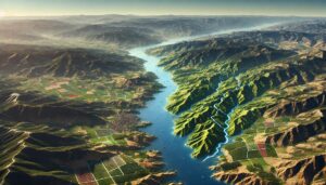
Explore Armenia’s watersheds, including the Aras and Kura river basins, which are vital for agriculture, hydropower, and biodiversity. Learn how 3D mapping technologies are enhancing water resource management by providing detailed insights into water flow, land use, and environmental health. These tools help ensure sustainable water management, contributing to long-term ecological stability and the protection of Armenia’s precious water resources for future generations.

Read More »
Albania Watershed Maps

Albania Watershed Maps

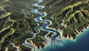
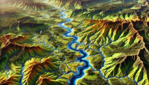
Explore Albania’s watersheds, which support agriculture, hydropower, and biodiversity. Learn about the country’s diverse river systems, including the Drin, Vjosa, and Seman basins. Discover how 3D mapping technologies are enhancing the monitoring and management of these resources. These advanced tools provide valuable insights into water flow, land use, and environmental changes, helping ensure sustainable water management and ecosystem conservation for the future.

Read More »
Mahaweli River Watershed Map

Mahaweli River Watershed Map

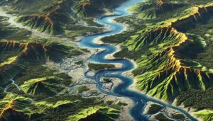
Explore the Mahaweli River Watershed, a crucial resource for Sri Lanka, supporting agriculture, hydropower, and biodiversity. Learn about its diverse geography, hydrology, and ecosystems, and how 3D mapping technologies help manage and conserve this vital watershed. These advanced tools provide valuable insights for sustainable water management, ecosystem protection, and climate change adaptation, ensuring the river’s health for future generations.

Read More »
Maroni River Watershed Map

Maroni River Watershed Map

Explore the Maroni River Watershed, a vital resource for South America’s ecosystems and communities. Learn how advanced 3D mapping is transforming conservation efforts and ensuring its long-term sustainability.

Read More »
Fly River Watershed Map

Fly River Watershed Map

Dive into the Fly River Watershed, one of Papua New Guinea’s most vital ecosystems. Discover its dynamic landscapes, rich biodiversity, and how advanced 3D mapping is transforming conservation efforts to secure its future.

Read More »
Sepik River Watershed Map

Sepik River Watershed Map

Discover the Sepik River Watershed, one of Papua New Guinea’s most ecologically rich regions. Explore its diverse landscapes, vibrant ecosystems, and how advanced 3D mapping technology is transforming the management and conservation of this vital water system, ensuring its health and resources for future generations.

Read More »
Tagus River Watershed Map

Tagus River Watershed Map

Discover the Tagus River Watershed, a vital resource in Spain and Portugal. Explore its dynamic geography, rich ecosystems, and how advanced 3D mapping technology is transforming sustainable management, ensuring the river’s health and resources for future generations.

Read More »
Top 10 Drainage Basins in South America

Top 10 Drainage Basins in South America

Discover South America’s top 10 largest drainage basins, from the mighty Amazon to the vital Paraná. These vast river systems shape ecosystems, economies, and cultures. Learn about the critical role they play in providing water, supporting biodiversity, and fostering agriculture across the continent. Dive into the incredible world of these essential waterways!

Read More »

Get a Free Quote on a Custom 3D Billboard

Get a Free Quote