
Arizona’s Geographical Tapestry: An Epic Exploration of the 3D Topographic Map
Arizona, the Grand Canyon State, is a land of breathtaking natural wonders, where vast deserts, towering mountains, and dramatic canyons converge to create a landscape unlike any other. In this comprehensive journey, we embark on an immersive exploration of the 3D topographic map of Arizona, peeling back the layers of its geographical marvels and unraveling the captivating stories etched into its terrain.
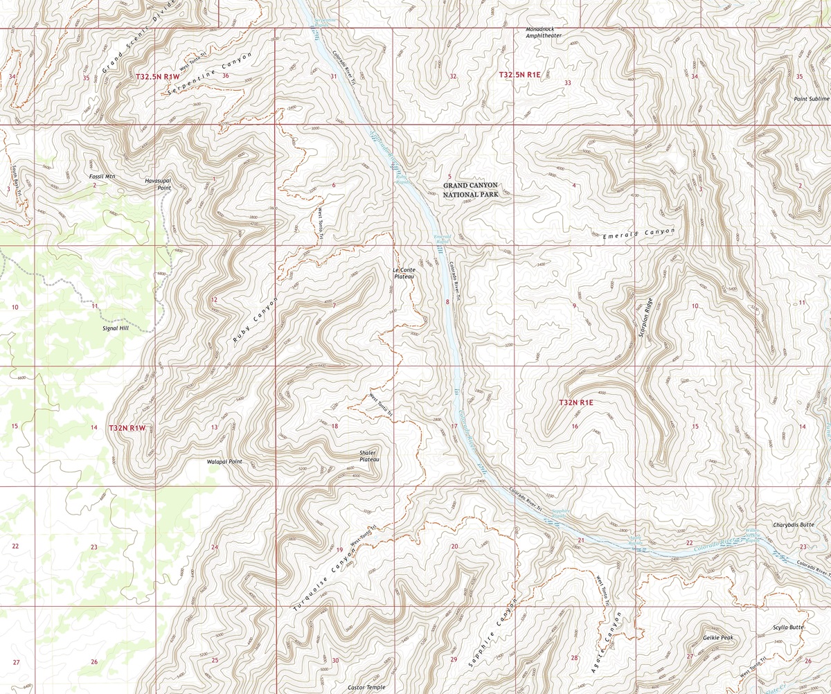 3D Topographic Map of Arizona-Havasupai Point, 1:24,000 quad, 2021, USGS
Navigating the World of 3D Topographic Maps
Before we venture into the heart of Arizona’s diverse landscapes, it’s crucial to understand the essence of 3D topographic maps. These advanced cartographic tools provide an immersive representation of the Earth’s surface, revealing elevation, terrain, and natural features with incredible precision . Unlike traditional maps, 3D maps bring Arizona’s landscapes to life, offering a unique perspective that allows us to explore the state’s geography in a whole new dimension.
Elevation: The Vertical Dimension
One of the most remarkable features of 3D topographic maps is their ability to depict elevation in stunning detail. In a state as geographically diverse as Arizona, where elevation varies from the depths of the Sonoran Desert to the towering peaks of the San Francisco Peaks, this dimension is essential to understanding the state’s unique topography. From the lowest valleys to the loftiest summits, 3D maps vividly illustrate the vertical aspect of Arizona’s terrain.
Terrain Visualization: A New Perspective
3D topographic maps offer an immersive experience by bringing Arizona’s terrain to life. Every canyon, mesa, and river is presented with remarkable detail, allowing us to appreciate the intricacies of the state’s geography. This unique perspective enables us to uncover hidden features, comprehend the impact of geological forces, and understand the interconnectedness of Arizona’s landscapes in ways that traditional maps simply cannot convey.
 3D Topographic Map
The Grand Canyon
Majestic Depths and Geological Wonders
Our journey through Arizona’s 3D topographic map commences with the most iconic natural wonder in the state—the Grand Canyon. This immense chasm, carved by the Colorado River, reveals a staggering depth and geological complexity that continues to captivate visitors from around the world.
As we explore the 3D map, the Grand Canyon comes to life, with elevation gradients showcasing the dramatic drop from the North Rim to the Colorado River below. This immersive experience allows us to virtually descend into the depths of the canyon, unveiling the geological marvels and breathtaking vistas that define the Grand Canyon’s grandeur.
The Grand Canyon National Park
The 3D topographic map vividly portrays the Grand Canyon National Park, where adventurers and nature enthusiasts can virtually traverse its breathtaking trails and overlooks. This immersive visualization offers a unique perspective on the park’s challenging hikes, sheer cliffs, and the panoramic views that reward those who venture into its depths.
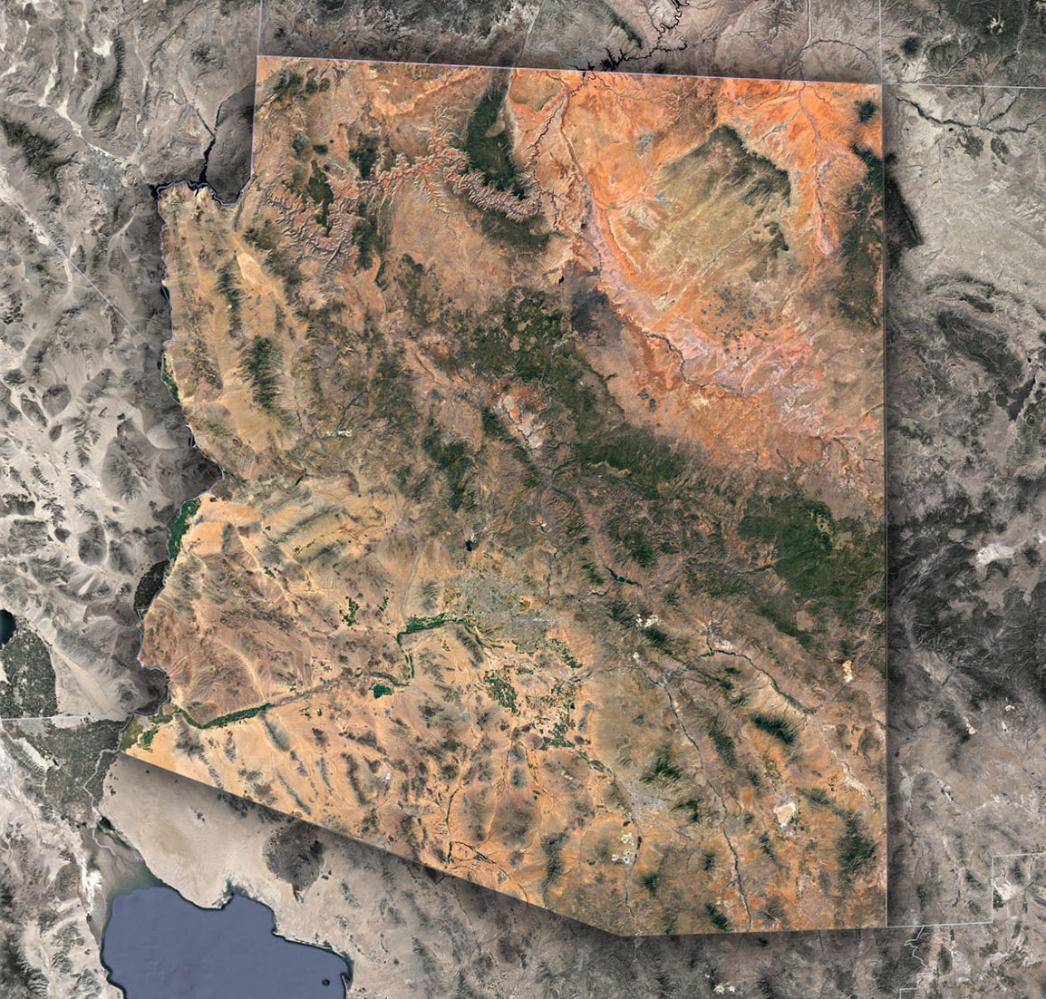 Satellite Map of Arizona
The Sonoran Desert-Arid Expanse and Desert Pinnacles
Transitioning southward on Arizona’s 3D map, we enter the Sonoran Desert, a region known for its arid plains, distinctive landforms, and stark beauty. This desert landscape is brought to life through the 3D representation, with elevation contours revealing the subtle gradients and vast expanses that define the Sonoran Desert’s topography.
The map also highlights unique geological features such as the Superstition Mountains and the iconic saguaro cacti that thrive in this arid environment. This immersive experience provides a deeper understanding of the desert’s stark beauty and its ecological significance in Arizona’s natural mosaic.
The Colorado Plateau-Mesas, Canyons, and Plateaus
Venturing northward on Arizona’s 3D topographic map, we arrive at the Colorado Plateau, a region characterized by mesas, canyons, and plateau lands. This geological wonderland is depicted in exquisite detail, showcasing the gradual elevation changes, deep canyons, and the surreal landscapes that define this region’s topography.
Elevation gradients reveal the intricate layering of sedimentary rocks, the sculpted canyons, and the sprawling mesas of the Colorado Plateau. This immersive experience provides a deeper understanding of the geological forces that have shaped this region over millions of years.
The Influence of Waterways-The Colorado River and Its Tributaries
Arizona’s 3D topographic map accentuates the role of waterways in shaping the state’s terrain. The Colorado River and its tributaries are depicted in striking detail, offering insight into their meandering courses, the deep gorges they have carved, and the valleys they have sculpted over millennia. Understanding their impact on Arizona’s topography is crucial to appreciating the state’s unique geological features and landscapes.
The Geographical Tale of Arizona-A Story of Geological Diversity
Throughout our exploration, it becomes evident that Arizona’s topography is a testament to its rich geological history. From the depths of the Grand Canyon to the heights of the San Francisco Peaks, the 3D topographic map tells a story of millions of years of geological evolution.
Unique geological features such as Meteor Crater and Monument Valley are intricately woven into the 3D map’s representation, offering insights into the geological forces that continue to shape Arizona’s diverse landscape.
As we conclude our journey through Arizona’s 3D topographic map, we depart with a profound appreciation for the state’s diverse and captivating landscapes. From the depths of the Grand Canyon to the vast expanse of the Sonoran Desert, Arizona’s topography is a testament to its rich natural heritage.
Understanding Arizona’s 3D topographic map isn’t just about navigation; it’s an invitation to immerse yourself in the state’s geological history, ecological diversity, and cultural significance. Whether you are an intrepid adventurer, a geography enthusiast, or simply someone eager to delve into the wonders of the natural world, Arizona’s 3D topography beckons you to embark on a journey of discovery and wonder, where the landscape springs to life in three dimensions.
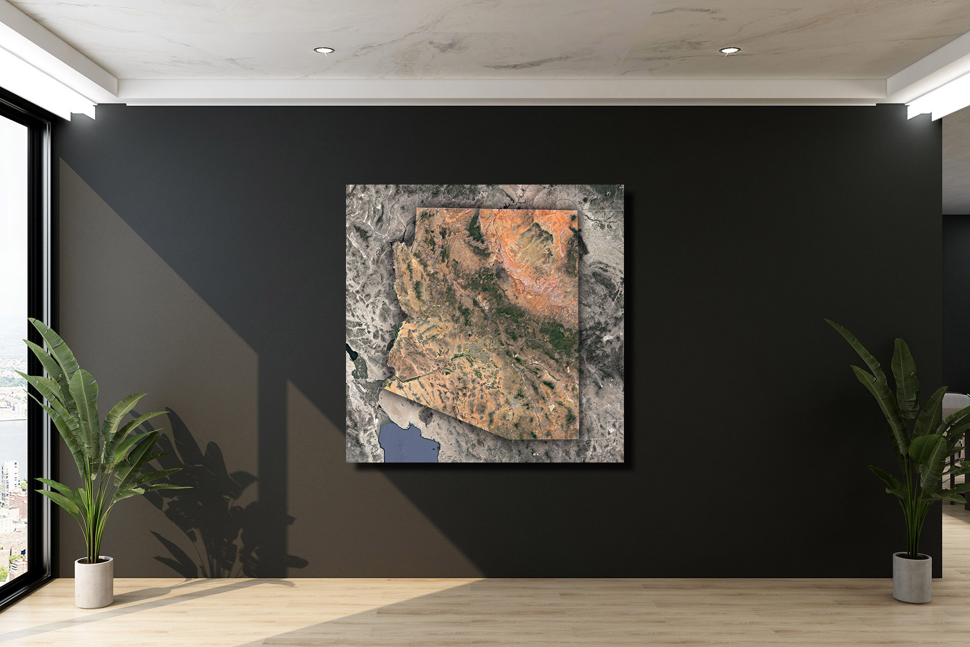
Check out WhiteClouds’ 3D Topographic Maps for more information on a topographic map of Arizona. 2D Canvas Print Satellite Maps of Arizona are also available.
Contact us today to learn more about our 3D services and how we can help you achieve your goals.