

3D Trail Maps for Outdoor Retail and Resort Displays
Planning guidance and completed examples for 3D trail and topographical maps used in outdoor retail, ski shops, resorts, and visitor-facing displays.
Planning guidance and completed examples for 3D trail and topographical maps used in outdoor retail, ski shops, resorts, and visitor-facing displays.
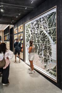
Arc’teryx’s Vancouver flagship now features a stunning 11×9 foot illuminated 3D hiking trail map. With glowing trailheads activated by visitors, this installation blends art, engineering, and wilderness. More than a display, it transforms the store into an immersive experience, connecting city shoppers to the rugged landscapes of British Columbia and inspiring new adventures beyond the skyline.
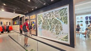
Arc’teryx’s Vancouver flagship now features a breathtaking 11×9 ft 3D topo wall map of Southwestern BC. With illuminated trailheads activated by visitors, this massive installation blends art, technology, and wilderness. More than a map, it’s a tribute to mountain athletes and the region’s rugged spirit, bringing the outdoors into the heart of the city.
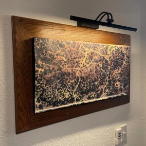
Discover the process behind the Hairecienda Ranch 3D map, from base map creation to high-resolution vinyl graphics and elevation data. This stunning topographic display brings the ranch’s landscape to life, combining artistry and precision for a permanent, eye-catching installation.
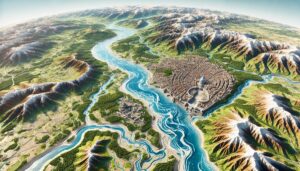
Vatican City’s water systems, reliant on the Tiber River Basin, are crucial for daily needs. Learn how modern technologies like 3D mapping, GIS, and remote sensing help manage these resources. These tools ensure sustainability, address challenges like water scarcity, pollution, and climate change, and contribute to efficient water use, all while protecting the Vatican’s cultural heritage and supporting its environmental goals.
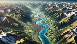
Switzerland’s watersheds, including the Rhine, Rhône, and Aare River Basins, are vital for agriculture and ecosystems. Learn how modern technologies like 3D mapping, GIS, and remote sensing help manage these systems, ensuring sustainable water use and addressing challenges like water scarcity, climate change, and urban growth.
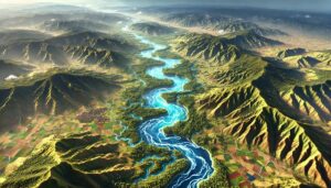
Rwanda’s watersheds, including the Akagera and Nyabarongo River Basins, are vital for agriculture and ecosystems. This blog explores how modern technologies like 3D mapping, GIS, and remote sensing help monitor and manage these systems. These tools are essential for ensuring sustainable water use, addressing challenges such as water scarcity, climate change, and growing demand for resources, while protecting Rwanda’s unique ecosystems.
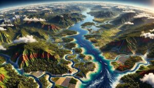
Papua New Guinea’s watersheds, such as the Sepik and Fly River Basins, are essential for agriculture, ecosystems, and water management. Learn how modern mapping technologies like 3D mapping, GIS, and remote sensing help monitor and manage these critical systems. These tools are vital for ensuring sustainable water use, addressing challenges like water scarcity, climate change, and growing demand for resources in this ecologically rich nation.
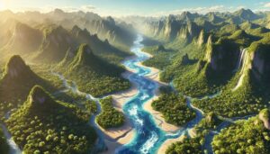
Palau’s watersheds, including Wadi Al-Mistal and Wadi Shab, are essential for agriculture, ecosystems, and water management. This blog explores how advanced technologies like 3D mapping, GIS, and remote sensing help monitor and manage these vital water systems. These tools are crucial for ensuring sustainable water use, addressing challenges such as climate change, growing demand for water, and protecting the island’s natural resources.
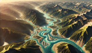
Nepal’s watersheds, including the Koshi, Gandaki, and Karnali river basins, are vital for the country’s ecology and economy. This blog explores the significance of these watersheds and how modern technologies like GIS and 3D mapping help manage water systems. These tools allow for better predictions of water availability, flood management, and sustainable water use, addressing challenges like climate change and population growth in Nepal.

The Maldives’ watersheds are crucial for maintaining freshwater resources in a low-lying nation. This blog examines the importance of watershed maps in managing water resources, addressing challenges such as saltwater intrusion, pollution, and climate change. Learn how advanced mapping technologies help the Maldives ensure sustainable water management in the face of increasing pressure on its limited freshwater resources.
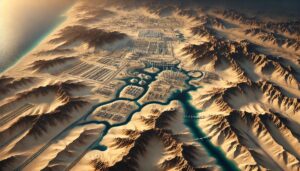
Kuwait’s watersheds are vital for agriculture, energy, and drinking water. This blog explores the challenges they face, including water scarcity and pollution, and how 3D watershed maps contribute to managing water resources, ensuring sustainability, and addressing climate change impacts. Learn how these mapping technologies help Kuwait manage its limited water systems.
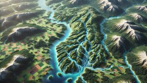
Finland’s watershed maps are essential for managing river systems, predicting floods, and ensuring sustainable water use. These maps help allocate water for agriculture, industry, and communities while addressing climate change challenges. By monitoring river flow, groundwater levels, and water quality, they support flood prevention, efficient water distribution, and ecosystem protection, ensuring that Finland’s water resources are preserved for future generations.
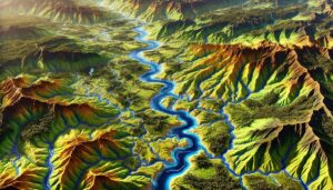
Cameroon’s watershed maps are vital tools for managing water resources, preventing floods, and ensuring sustainable water use. These maps guide water distribution for agriculture, industry, and communities, while also helping the country adapt to climate change challenges.

Explore Armenia’s watersheds, including the Aras and Kura river basins, which are vital for agriculture, hydropower, and biodiversity. Learn how 3D mapping technologies are enhancing water resource management by providing detailed insights into water flow, land use, and environmental health. These tools help ensure sustainable water management, contributing to long-term ecological stability and the protection of Armenia’s precious water resources for future generations.
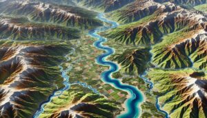
Explore Albania’s watersheds, which support agriculture, hydropower, and biodiversity. Learn about the country’s diverse river systems, including the Drin, Vjosa, and Seman basins. Discover how 3D mapping technologies are enhancing the monitoring and management of these resources. These advanced tools provide valuable insights into water flow, land use, and environmental changes, helping ensure sustainable water management and ecosystem conservation for the future.