
Colorado’s Geographic Odyssey: Unveiling the 3D Topographic Map
Colorado, the Centennial State, is a land of astonishing contrasts, where soaring mountains, pristine lakes, and vast plateaus converge to create a landscape that defies imagination. In this comprehensive exploration, we embark on an immersive journey through Colorado’s 3D topographic map, delving into its geographical intricacies and unveiling the captivating stories etched into its diverse terrain.
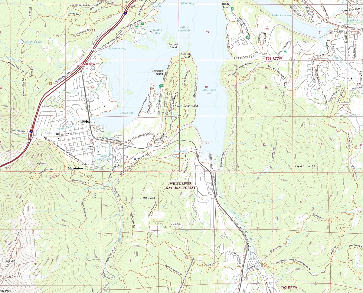 3D Topographic Map of Colorado-Frisco, 1:24,000 quad, 2022, USGS
Navigating the World of 3D Topographic Maps
Before we embark on our journey through Colorado’s stunning landscapes, it’s vital to understand the essence of 3D topographic maps. These advanced cartographic tools provide an immersive representation of the Earth’s surface, revealing elevation, terrain, and natural features with unparalleled precision. Unlike traditional maps, 3D maps bring Colorado’s diverse landscapes to life, offering a unique perspective that allows us to explore the state’s geography in a whole new dimension.
Elevation: A Vertical Perspective
One of the most remarkable features of 3D topographic maps is their ability to depict elevation in exquisite detail. In Colorado, where elevation ranges from the depths of the Arkansas River Valley to the soaring peaks of the Rocky Mountains, this dimension is paramount to understanding the state’s unique topography. From the lowest valleys to the loftiest summits, 3D maps vividly illustrate the vertical aspect of Colorado’s terrain.
Terrain Visualization: A New Perspective
3D topographic maps offer an immersive experience by bringing Colorado’s terrain to life. Every mountain range, valley, and river is presented in breathtaking detail, allowing us to appreciate the intricacies of the state’s geography. This unique perspective enables us to uncover hidden features, understand the impact of geological forces, and grasp the interconnectedness of Colorado’s landscapes in ways that traditional maps simply cannot convey.
 3D Topographic Map
The Rocky Mountains
Majestic Peaks and Alpine Wilderness
Our journey through Colorado’s 3D topographic map commences with the crown jewel of the state—the Rocky Mountains. These majestic peaks, including the towering Mount Elbert, the highest point in Colorado and the entire Rocky Mountain range, offer a stunning vista of untamed wilderness and natural grandeur.
As we explore the 3D map, the Rocky Mountains come to life, with elevation gradients depicted in vibrant colors and intricate contours. Mount Elbert stands tall among the peaks, inviting adventurers with its 3D prominence. This immersive experience allows us to virtually traverse these mountains and valleys, offering a glimpse of the Rockies’ awe-inspiring majesty.
Rocky Mountain National Park: A Wilderness Wonderland
The 3D topographic map vividly portrays Rocky Mountain National Park, where outdoor enthusiasts and nature lovers can virtually navigate its breathtaking trails and scenic overlooks. This immersive visualization offers a unique perspective on the park’s challenging hikes, pristine alpine lakes, and the panoramic vistas that reward those who explore its rugged terrain.
 Satellite Map of Colorado
Check out WhiteClouds’ 3D Topographic Maps for more information on a topographic map of Colorado. 2D Canvas Print Satellite Maps of Colorado are also available.

Contact us today to learn more about our 3D services and how we can help you achieve your goals.