
Michigan’s Geographical Tapestry: A Deep Dive into the 3D Topographic Map
Michigan, the Great Lakes State, is a land of extraordinary natural beauty and geographical diversity. From the pristine shores of the Great Lakes to the rolling hills, dense forests, and enchanting river systems, Michigan’s landscape is a captivating blend of unique features. In this extensive exploration, we embark on a journey through Michigan’s 3D topographic map, delving into its geographical intricacies and unraveling the fascinating stories etched into its terrain.
Unveiling the 3D Topographic Map
Before we embark on our journey through Michigan’s diverse landscapes, let’s familiarize ourselves with the essence of 3D topographic maps. These innovative cartographic tools offer a three-dimensional representation of the Earth’s surface, providing insights into elevation, terrain, and natural features. The third dimension adds depth and perspective, enriching our understanding of Michigan’s geography in ways that traditional maps cannot achieve.
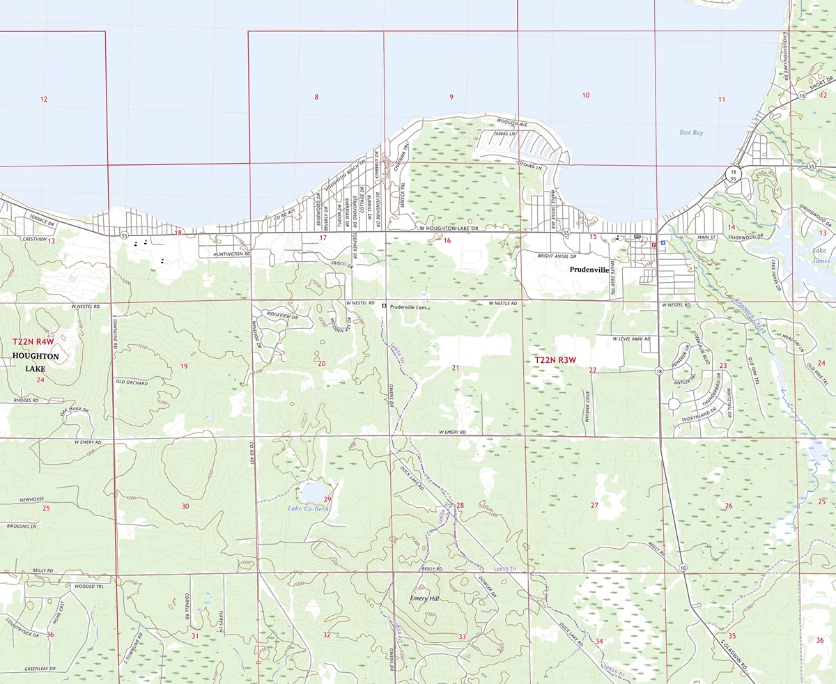 3D Topographic Map of Michigan-Prudenville, 1:24,000 quad, 2023, USGS
Elevation-A Vertical Perspective: One of the defining features of 3D topographic maps is their ability to depict elevation with remarkable precision. In a state as diverse as Michigan, where elevation varies from the shores of the Great Lakes to the highest points in the Upper Peninsula, this dimension is essential for comprehending the state’s unique topography.
Elevation contours on the 3D map vividly illustrate the vertical aspects of Michigan’s terrain. Whether it’s the subtle changes in the Lower Peninsula or the dramatic relief of the Upper Peninsula, these contours provide an immersive insight into the state’s diverse landscapes.
Terrain Visualization-Discovering New Angles: 3D topographic maps offer an immersive experience by bringing Michigan’s terrain to life. Each ridge, valley, and watercourse is presented in exquisite detail, allowing us to appreciate the intricacies of the state’s geography. This unique perspective permits us to uncover hidden features, grasp the impact of geological forces, and understand the interconnectedness of Michigan’s landscapes like never before.
 3D Topographic Map
The Upper Peninsula
Majestic Peaks and Pristine Wilderness: Our journey through Michigan’s 3D topographic map begins in the Upper Peninsula, a region known for its rugged beauty and natural splendor. The Upper Peninsula boasts the state’s highest points, including Mount Arvon, the pinnacle of Michigan’s elevation.
As we explore the 3D map, the Upper Peninsula’s rugged terrain comes to life. Elevation gradients showcase the dramatic ascents and descents, offering virtual travelers a glimpse into the region’s pristine wilderness. This immersive experience allows us to virtually traverse these peaks and valleys, unveiling the majesty of the Upper Peninsula.
The Porcupine Mountains and Wilderness State Park: The 3D topographic map vividly portrays the Porcupine Mountains and Wilderness State Park, two iconic natural areas in the Upper Peninsula. Hikers and nature enthusiasts can virtually navigate the terrain, immersing themselves in the intricacies of these captivating wilderness areas. The 3D visualization provides a unique perspective on the trails, waterfalls, and pristine landscapes that make these destinations cherished by outdoor enthusiasts.
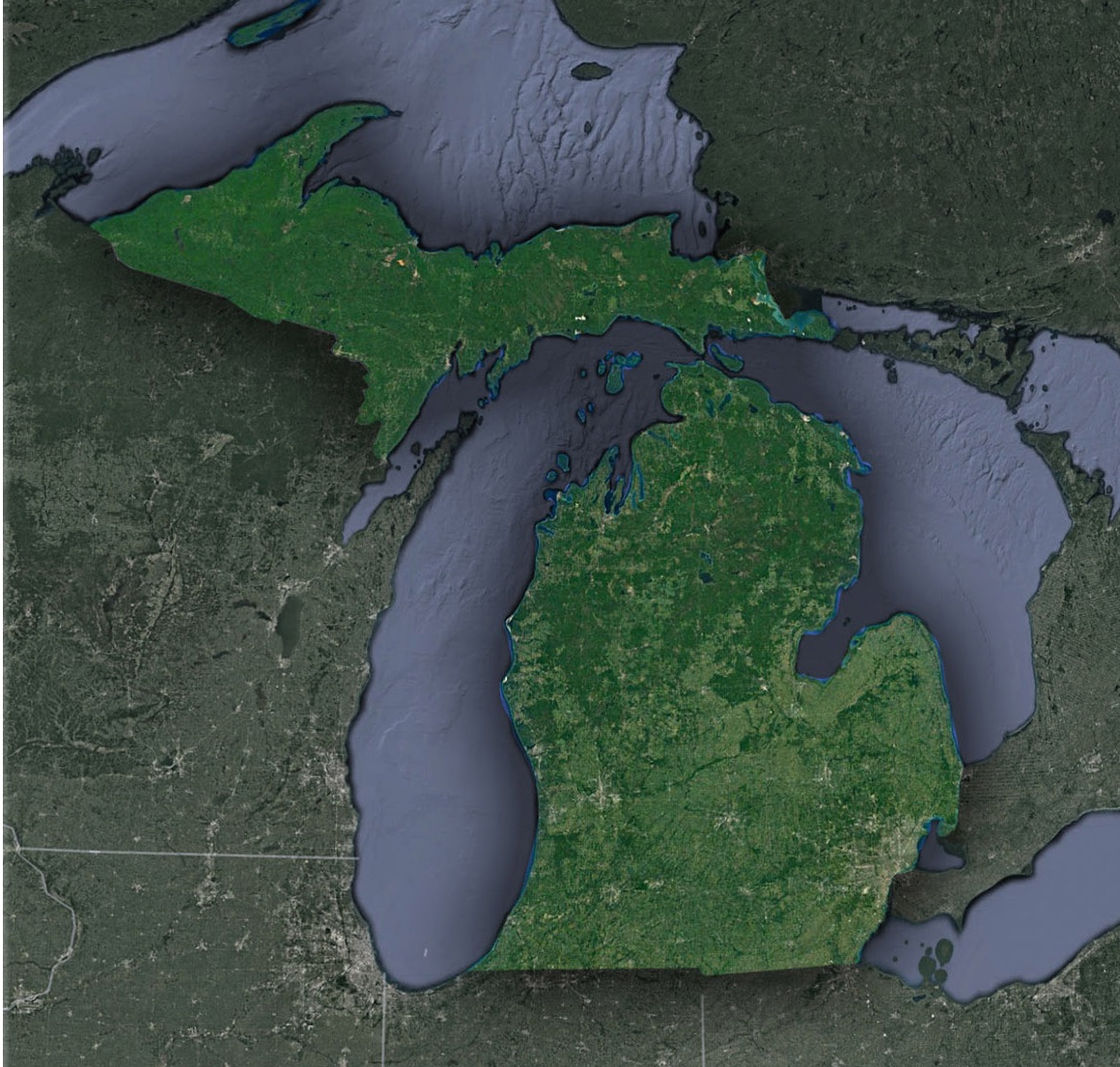 Satellite Map of Michigan
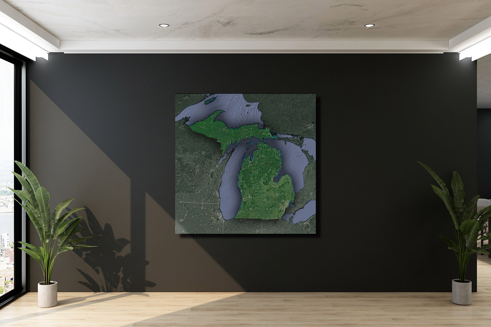
Check out WhiteClouds’ 3D Topographic Maps for more information on a topographic map of Michigan. 2D Canvas Print Satellite Maps of Michigan are also available.
Contact us today to learn more about our 3D services and how we can help you achieve your goals.