Tag: Maps

Top 7 Largest Continents in the World

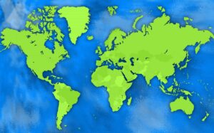
Embark on a global journey across Earth’s magnificent continents. Unearth Asia’s cultural treasures, Africa’s vibrant ecosystems, Antarctica’s pristine wilderness, Europe’s historical gems, North America’s diverse landscapes, Australia’s unique biodiversity, and South America’s passionate rhythms.

Read More »
Culpeper Virginia 2020-USGS Topographic Map

How to Read Topographic Maps: A Beginner’s Guide

Are you ready to unlock the secrets of the wilderness? With topographic maps, you can! Discover the art of reading these fascinating maps, and uncover the hidden treasures of the great outdoors. From the highest peaks to the deepest valleys, topographic maps provide a comprehensive and detailed representation of the terrain, allowing you to plan your route and explore with confidence. Get ready to embark on your next adventure like a pro!

Read More »

3D Raised Relief Maps: From Flat to Three-Dimensional

Experience the world in a whole new way with 3D Raised Relief Maps. These maps allow you to touch and feel the features of the world’s terrain, providing a more immersive and engaging experience. Discover how these maps are created and why they’re such a fascinating tool for exploring the world around us

Read More »
Yellowstone-Artistic-Painted-Maps-2

Yellowstone National Park Maps

Get ready to explore Yellowstone National Park like never before with over 100 different maps available. From detailed topographical and geologic maps to artistic and historic maps, there’s something for everyone to discover. Start planning your adventure today!

Read More »
Yellowstone Maps-Terrain

The Ultimate Guide to Maps of Yellowstone

Are you ready to embark on an epic adventure through Yellowstone National Park? Our Ultimate Guide to Maps of Yellowstone will show you how to explore the park’s diverse terrain, geothermal wonders, and enchanting wildlife like never before. From 3D maps to wildlife maps, we have you covered for an unforgettable journey through this natural wonderland!

Read More »
Florida Satellite Maps-State Embedded

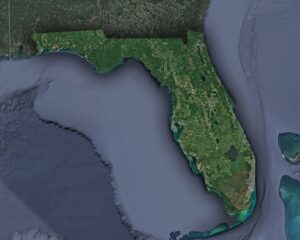
Florida Maps

Take a journey through the Sunshine State with our collection of Florida maps. Explore its cities, coastlines, and natural wonders in detail, and discover hidden gems you never knew existed.

Read More »
USGS Historical Maps - San Francisco 1899

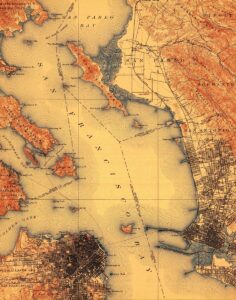
Top 10 USGS Historical Maps

Take a journey through time with our top 10 USGS historical maps! From stunning topography to intricate cartography, each map tells a unique story of America’s past. Learn more about USGS historical maps and the fascinating details they hold.

Read More »
OrthoPhoto Maps-WhiteClouds

Orthophoto Maps

Orthophoto maps bring the world to life, offering stunningly detailed aerial views of cities, landscapes, and terrain. From soaring skyscrapers to rolling hills, these maps provide a bird’s eye perspective that will take your breath away.

Read More »
Vicinity Maps-WhiteClouds

Vicinity Maps

With vicinity maps, the world is at your fingertips. Explore new destinations, navigate unfamiliar terrain, and discover hidden gems. Let these maps guide you on your next adventure, and you’ll never be lost again.

Read More »
Location Maps-WhiteClouds

Location Maps

Location maps are like a window to the world, allowing us to explore and navigate our surroundings with ease. From ancient maps etched in stone to digital maps at our fingertips, they’ve been an essential tool for humans throughout history.

Read More »
Seismic Maps-US

Seismic Maps

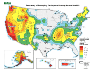
With seismic maps, the earth’s secrets are unveiled. Explore hidden tectonic plates, ancient fault lines, and anticipate natural disasters before they strike. Journey into the depths of our planet and discover its mysteries.

Read More »
Tectonic Maps-USA

Tectonic Maps

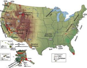
Tectonic maps reveal the drama of our planet’s past. From the collision of continents to the birth of mountain ranges, explore the dynamic forces that have shaped our world. Embark on a journey through time and space with tectonic maps.

Read More »
Geomorphic Map-Washington

Geomorphic Maps

Geomorphic maps bring the Earth’s surface to life, revealing mountains, valleys, rivers, and more in intricate detail. With these maps, we can explore the planet’s physical features and gain a deeper understanding of its natural wonders.

Read More »
Planimetric Maps-Kansas

Planimetric Maps

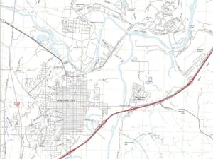
With planimetric maps, the world becomes a two-dimensional masterpiece. Streets, buildings, and waterways come alive, and navigating becomes a breeze. These maps are the perfect tool for exploring and planning, unlocking the secrets of the world around us.

Read More »
Cartogram

Cartogram Maps

Cartogram maps are like visual puzzles, distorting geography to show patterns in non-spatial data. From election results to economic data, these maps offer a unique perspective on the world around us.

Read More »

Get a Free Quote