

Have you ever wondered what the world would look like if you could see it in three dimensions? 3D Raised Relief Maps allow you to do just that, providing a new perspective on the world’s terrain. From mountain ranges to coastlines, these maps bring the features of the world to life in a way that traditional, flat maps simply cannot.
Introduction of 3D Raised Relief Maps
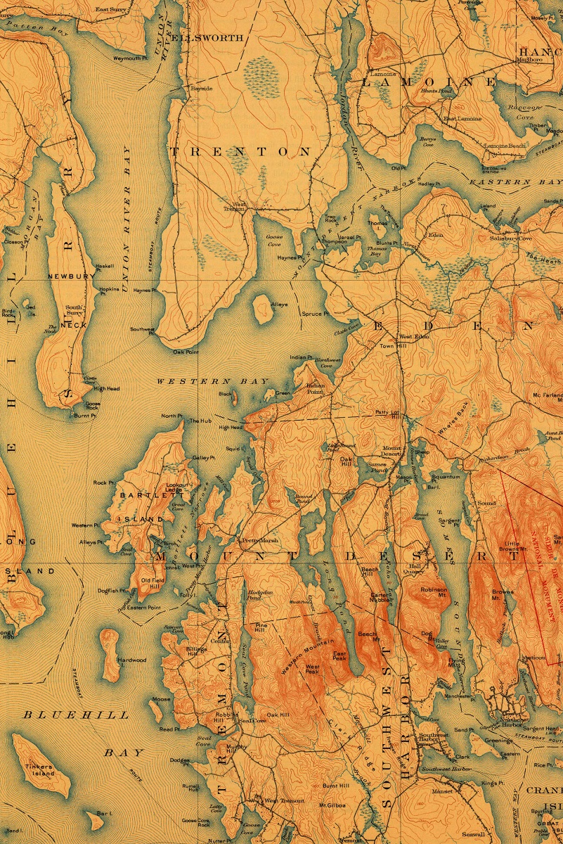
Maps have been a fundamental tool for exploration and navigation for centuries. However, the standard flat maps that we’re all familiar with can only provide a limited view of the world’s terrain. While they’re useful for getting a sense of geographic features like borders, rivers, and cities, they can’t convey the full depth and complexity of the landscape. This is where 3D Raised Relief Maps come in. These maps use advanced techniques to create a tactile, three-dimensional representation of the world’s topography, giving us a much more detailed and nuanced understanding of the terrain.

How Do 3D Raised Relief Maps Work?
So, how exactly do these maps work? 3D Raised Relief Maps are created using a combination of digital and physical techniques. First, a digital model of the terrain is created using data from sources like satellites and aerial photography. This model is then used to create a mold or 3D printed structure, which is used to cast a physical relief map. The resulting map features raised areas that correspond to the height and depth of the terrain, creating a highly accurate and tactile representation of the landscape.
Examples of 3D Raised Relief Maps
To give you a better sense of what these maps look like, let’s take a look at a few examples. The National Geographic Society offers a range of 3D Raised Relief Maps, including a map of the United States that showcases the country’s diverse terrain. The map features raised areas that correspond to the Rocky Mountains, the Appalachian Mountains, and the Great Plains, among other features. Another example is the Shaded Relief Topographic Map of Yosemite National Park, which provides an incredibly detailed and lifelike representation of the park’s iconic landscape. WhiteClouds has many examples of 3D Raised Relief Maps.
Why Are 3D Raised Relief Maps So Fascinating?
So, what makes 3D Raised Relief Maps so fascinating? For one thing, they offer a much more intuitive and engaging way to explore the world’s terrain. By providing a tactile, three-dimensional representation of the landscape, these maps allow us to more fully engage with and understand the features of the world around us. They also offer a way to visualize geographic features that can be difficult to understand from a flat map. For example, it’s one thing to see a contour line on a map indicating a steep slope, but it’s another thing entirely to be able to feel that slope and see how it relates to the surrounding landscape.
3D Raised Relief Maps are an incredible tool for exploring and understanding the world’s terrain. By providing a tactile, three-dimensional representation of the landscape, these maps offer a much more nuanced and engaging way to explore the world around us. Whether you’re a geography buff, a nature lover, or simply someone who enjoys exploring the world, 3D Raised Relief Maps are an amazing resource that can help you see the world in a whole new way.
Learn more about Maps
- Topographical Maps: Representation of the physical features of a region or area.
- Contour Maps: Representation of the contours of the land surface or ocean floor.
- Raised Relief Maps: Representation of land elevations with raised features indicating landforms.
- Terrain Maps: Representation of the physical features of a terrain or landmass.
- USGS Topographic Maps: Representation of topographic features and land elevations based on USGS data.
- USGS Historical Topographic Maps: Representation of historical topographic maps created by the USGS.
- Watershed Maps: Representation of the areas where water flows into a particular river or lake.
- Elevation Maps: Representation of land and water elevations with high precision.
- Physical Maps: Representation of physical features of the Earth’s surface such as landforms, oceans, and plateaus.
- Bathymetric Maps: Representation of the topography and features of the ocean floor.
- NOAA Maps: Representation of atmospheric, oceanographic, and environmental data by NOAA.
- Nautical Maps: Representation of the underwater features and depth of an area for navigation purposes.
- Geologic Maps: Representation of the geologic features of an area such as rock types, faults, and folds.
- Satellite Maps: Representation of earth from high-definition satellite imagery.
Contact us today to learn more about our services and how we can help you achieve your goals.