A vicinity map, also known as a neighborhood map or a location map, is a type of map that provides a broader context of a particular area, city, or region. It is typically a small-scale map that shows the surrounding area in relation to a particular location or point of interest. Vicinity maps are commonly used in navigation, tourism, and real estate to help people get a better sense of their surroundings and locate specific points of interest.
Types of Vicinity Maps
There are several types of vicinity maps, each designed for a specific purpose:
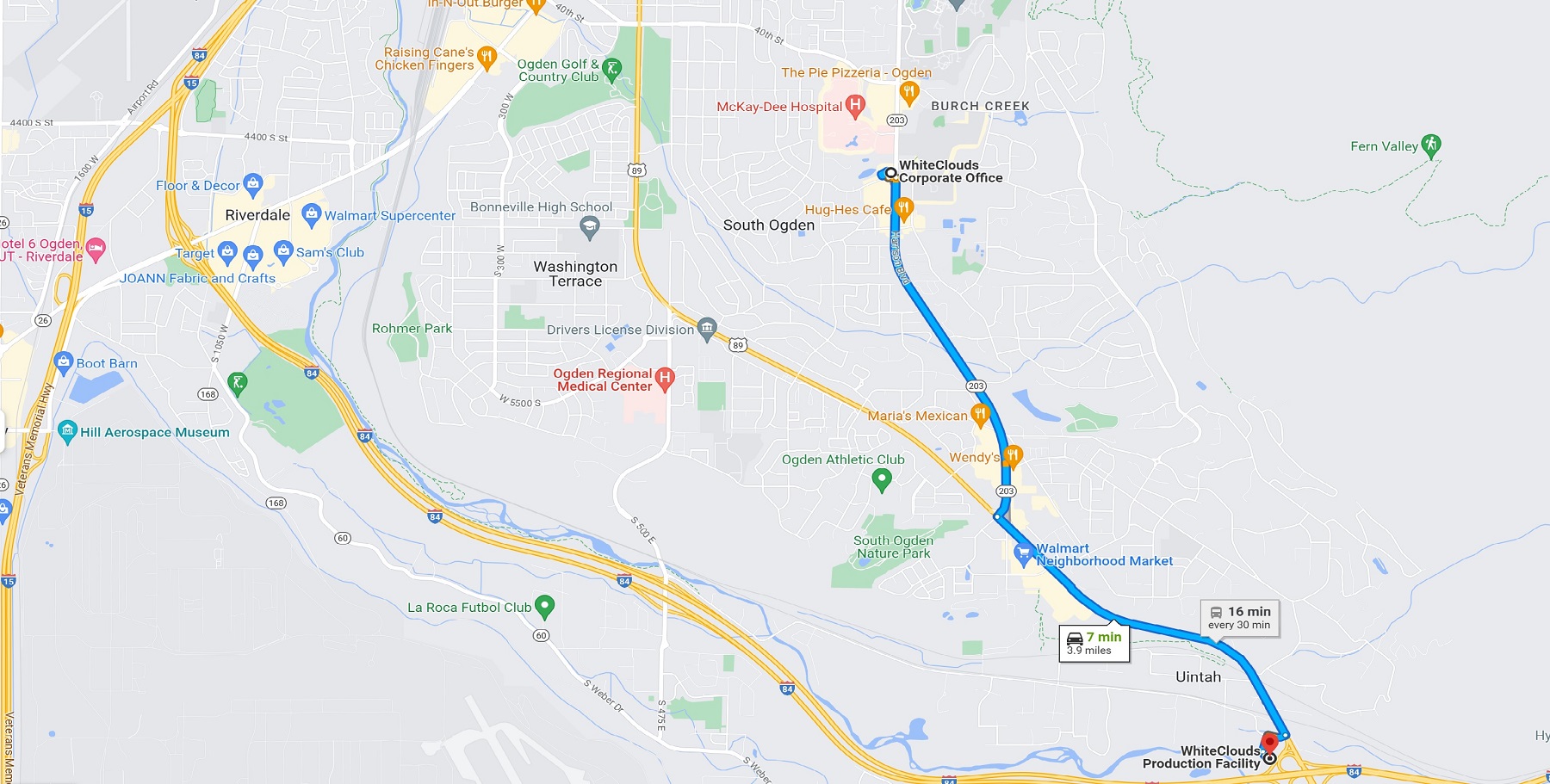
Road Maps: Road maps are perhaps the most common type of vicinity map. These maps show the major highways, streets, and roads in the surrounding area, along with landmarks and points of interest. Road maps may also include information on traffic patterns, tolls, and other relevant details. Some road maps are designed specifically for drivers, with detailed information on freeway exits, rest areas, and other useful information.
Topographic Maps: Topographic maps show the terrain and elevation of an area, making them useful for hikers, climbers, and other outdoor enthusiasts. These maps use contour lines to show changes in elevation, and may also include information on bodies of water, forests, and other natural features. Topographic maps can be highly detailed, providing a wealth of information on the surrounding landscape.
Aerial Photographs: Aerial photographs provide a bird’s eye view of the surrounding area, making them useful for getting a sense of the overall layout and geography of an area. Aerial photographs may be taken from planes, drones, or satellites, and can be highly detailed, showing individual buildings, streets, and other features. Aerial photographs are commonly used in real estate, urban planning, and other fields where an overall view of an area is important.
Tourist Maps: Tourist maps are designed to help visitors navigate a particular city or area. These maps may include information on popular tourist attractions, restaurants, hotels, and other amenities. Tourist maps may also include transportation information, such as bus and subway routes, making them useful for getting around a new city.
Transit Maps: Transit maps show the routes and schedules of public transportation systems, such as buses, trains, and subways. These maps are essential for navigating public transportation in an unfamiliar area, and may include information on fares, transfers, and other details.
City Maps: City maps provide a detailed view of a particular city, showing streets, neighborhoods, and points of interest. These maps may be highly detailed, with information on individual buildings, parks, and other landmarks. City maps may also include transportation information, making them useful for getting around a new city.
Uses and Benefits of Vicinity Maps
These maps are widely used in various industries, including tourism, real estate, and urban planning, to help people navigate and understand their surroundings better. Here are more uses and how they benefit individuals and organizations:
Navigation: Vicinity maps are an essential tool for navigation, especially for tourists who are visiting a new area. These maps highlight the key landmarks, streets, and important points of interest, making it easier for tourists to navigate the area. They can also help drivers navigate through unfamiliar roads and highways.
Marketing and Advertising: Businesses can use vicinity maps as a marketing tool to attract customers. These maps can be used to show the location of a business and its proximity to other points of interest, such as shopping centers or tourist attractions. Vicinity maps can also be used to promote special offers or discounts, making it easier for customers to find and visit the business.
Real Estate: Vicinity maps are also used in the real estate industry to show the location of a property and its proximity to important amenities, such as schools, parks, and hospitals. These maps are useful for potential buyers or renters who are looking for a property in a particular area. Vicinity maps can also be used by real estate agents to show the location of a property to potential clients.
Urban Planning: Vicinity maps are an important tool for urban planners as they help them understand the layout of a city and its surrounding areas. These maps can be used to identify key features, such as transportation hubs, commercial centers, and residential areas. They can also be used to plan for the development of new infrastructure and public services, such as public transportation and parks.
Emergency Response: Vicinity maps are used by emergency responders, such as firefighters and police, to navigate through an area quickly and efficiently. These maps show the location of important features, such as fire hydrants, hospitals, and police stations. They can also be used to plan for emergency evacuations and response plans.
Features of Vicinity Maps
The features of vicinity maps may include:
Landmarks: Vicinity maps often include prominent landmarks such as buildings, parks, or bodies of water to help users orient themselves within the area.
Streets: Vicinity maps typically show the major streets and roads in the surrounding area. They may also show highways or other transportation routes.
Points of Interest: Vicinity maps often include points of interest such as restaurants, stores, or other attractions in the area. These points of interest are typically labeled or indicated with icons.
Transportation: Vicinity maps may show transportation options such as bus or subway routes, bike paths, or pedestrian walkways.
Terrain: Vicinity maps may include information about the terrain, such as elevation, waterways, or topography, to help users understand the physical features of the area.
Scale: Vicinity maps typically show a larger area than street maps, but they may vary in scale depending on the intended use and level of detail required.
Learn more about Maps
- Topographical Maps: Representation of the physical features of a region or area.
- Contour Maps: Representation of the contours of the land surface or ocean floor.
- Raised Relief Maps: Representation of land elevations with raised features indicating landforms.
- Terrain Maps: Representation of the physical features of a terrain or landmass.
- USGS Topographic Maps: Representation of topographic features and land elevations based on USGS data.
- USGS Historical Topographic Maps: Representation of historical topographic maps created by the USGS.
- Watershed Maps: Representation of the areas where water flows into a particular river or lake.
- Elevation Maps: Representation of land and water elevations with high precision.
- Physical Maps: Representation of physical features of the Earth’s surface such as landforms, oceans, and plateaus.
- Bathymetric Maps: Representation of the topography and features of the ocean floor.
- NOAA Maps: Representation of atmospheric, oceanographic, and environmental data by NOAA.
- Nautical Maps: Representation of the underwater features and depth of an area for navigation purposes.
- Geologic Maps: Representation of the geologic features of an area such as rock types, faults, and folds.
- Satellite Maps: Representation of earth from high-definition satellite imagery.