A location map, also known as a reference map, is a type of map that provides an overview of a geographic area, typically showing the boundaries of the region, major cities, bodies of water, and other important features. These maps are commonly used for navigation, planning, and other purposes where a broad understanding of the geographic context is necessary. Location maps can take many different forms, from simple outline maps to detailed topographic maps.
Types of Location Maps
There are several types of location maps, each designed for specific purposes.
- Outline Map: These maps show the boundaries of a geographic area without any additional information. They are useful for illustrating political boundaries or as a starting point for creating custom maps.
- Topographic Map: These maps show the shape and elevation of the terrain, along with geographic features such as rivers, lakes, and mountains. They are often used by hikers, campers, and other outdoor enthusiasts.
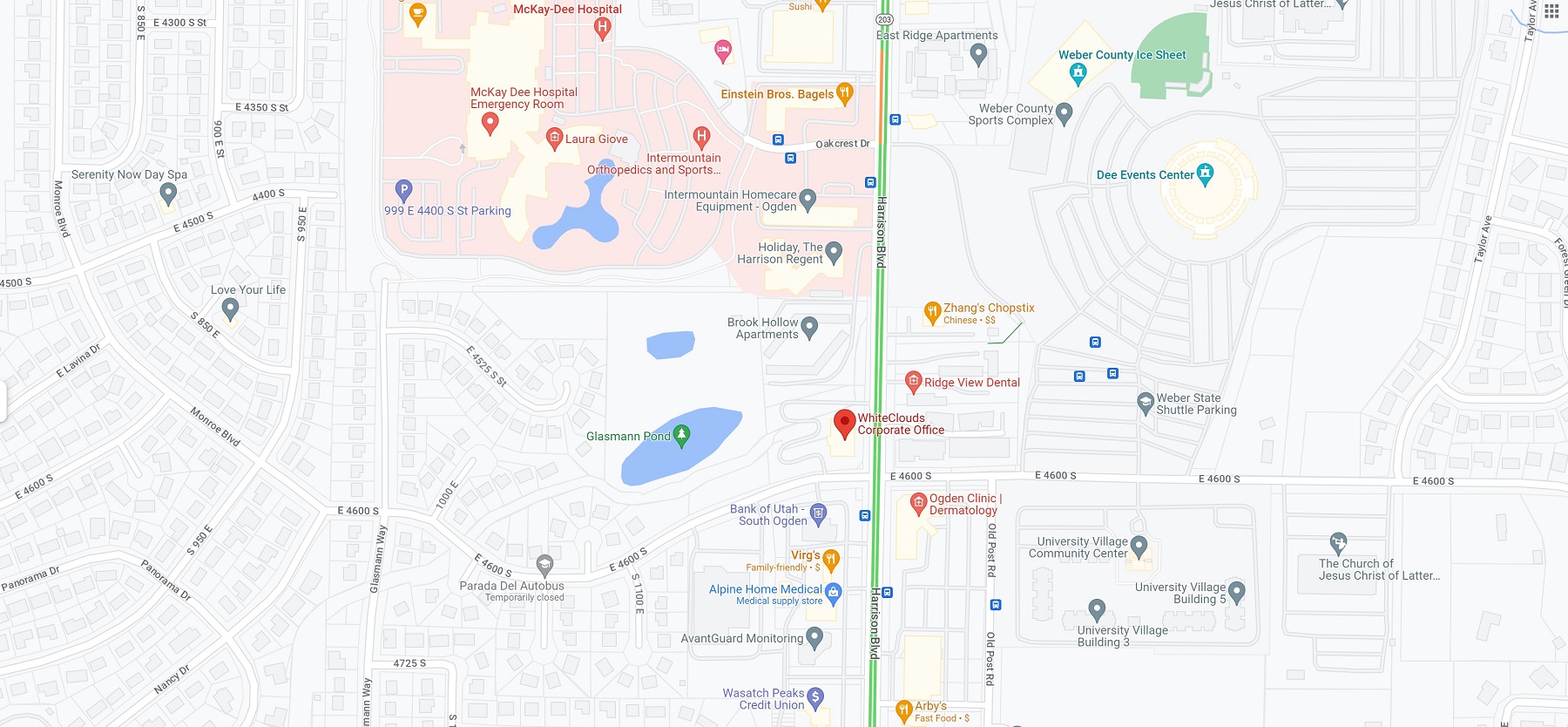
- Road Map: These maps show the road network and transportation routes within a geographic area. They are commonly used for navigation and trip planning.
- Thematic Map: These maps display specific data or themes, such as population density, climate, or natural resources. They are often used for academic or research purposes.
- Nautical Chart: These maps are used by sailors and mariners to navigate the seas and oceans. They display water depths, hazards, and navigational aids.
- Google Maps: One of the most popular and widely used location maps is Google Maps. Launched in 2005, Google Maps has revolutionized the way we navigate and explore the world. Google Maps is a web-based mapping service that provides users with satellite imagery, street maps, panoramic views, and route planning. The service is available on desktop and mobile devices and provides real-time traffic updates, public transportation information, and street view imagery. Google Maps has several features that make it a valuable tool for navigation and planning. One of the key features of Google Maps is its search functionality. Users can search for a specific address, business, or point of interest and receive directions and other relevant information. Google Maps also offers turn-by-turn directions for driving, walking, and biking, and can calculate travel time based on current traffic conditions. In addition to its navigation features, Google Maps also offers several tools for exploration and discovery. The service includes a street view feature that allows users to explore neighborhoods and landmarks at ground level, as well as a 3D view that provides a bird’s-eye view of cities and landscapes. Google Maps also includes user-generated content, such as reviews and ratings of businesses and attractions, which can be helpful for planning trips and exploring new areas.
Uses of Location Maps
Location maps are used in a variety of fields, including navigation, planning, education, and research.
Navigation: One of the primary uses of location maps is navigation. Whether you are driving, walking, biking, or using public transportation, location maps can help you get from one place to another. Google Maps provides turn-by-turn directions and real-time traffic updates, making it easy to navigate unfamiliar areas.
Planning: Location maps are also used for planning and decision-making in fields such as urban planning, land-use management, and disaster response. Google Maps allows users to explore and analyze geographic data, such as population density and land-use patterns, which can inform planning decisions.
Education: Location maps are a valuable tool for teaching and learning about geography and other subjects. Teachers and students can use location maps to explore different regions, learn about natural and cultural features, and understand how different places are connected.
Research: Location maps are used extensively in research, particularly in fields such as environmental science, geology, and archaeology. Researchers use location maps to study geographic patterns, identify trends, and visualize data.
Exploration: Location maps can also be used for exploration and discovery. Google Maps allows users to explore different parts of the world, discover new places, and learn about different cultures and communities.
Marketing and Business: Location maps can also be used for marketing and business purposes. Companies can use location maps to analyze customer demographics, identify potential markets, and plan marketing campaigns. Google Maps provides businesses with a platform to showcase their locations, hours of operation, and other relevant information.
Tourism: Location maps are also used extensively in the tourism industry. Tourists can use location maps to plan their trips, navigate unfamiliar areas, and discover new attractions. Google Maps provides users with reviews and ratings of businesses and attractions, making it easy to plan a memorable trip.
Features of Location Maps
Location maps typically include the following features:
Geographic boundaries: Location maps display the geographic boundaries of the area being represented, such as national or state borders.
Natural features: These include rivers, lakes, mountains, and other geographic features.
Built features: These include roads, buildings, and other man-made structures.
Points of interest: These include landmarks, tourist attractions, and other notable places.
Benefits of Location Maps
Location maps provide several benefits:
They provide a broad overview of a geographic area, allowing users to quickly understand the context of a location.
They aid in navigation and planning, helping users to get from one place to another and make informed decisions.
They provide a visual representation of geographic data, making it easier to understand and analyze.
Learn more about Maps
- Topographical Maps: Representation of the physical features of a region or area.
- Contour Maps: Representation of the contours of the land surface or ocean floor.
- Raised Relief Maps: Representation of land elevations with raised features indicating landforms.
- Terrain Maps: Representation of the physical features of a terrain or landmass.
- USGS Topographic Maps: Representation of topographic features and land elevations based on USGS data.
- USGS Historical Topographic Maps: Representation of historical topographic maps created by the USGS.
- Watershed Maps: Representation of the areas where water flows into a particular river or lake.
- Elevation Maps: Representation of land and water elevations with high precision.
- Physical Maps: Representation of physical features of the Earth’s surface such as landforms, oceans, and plateaus.
- Bathymetric Maps: Representation of the topography and features of the ocean floor.
- NOAA Maps: Representation of atmospheric, oceanographic, and environmental data by NOAA.
- Nautical Maps: Representation of the underwater features and depth of an area for navigation purposes.
- Geologic Maps: Representation of the geologic features of an area such as rock types, faults, and folds.
- Satellite Maps: Representation of earth from high-definition satellite imagery.