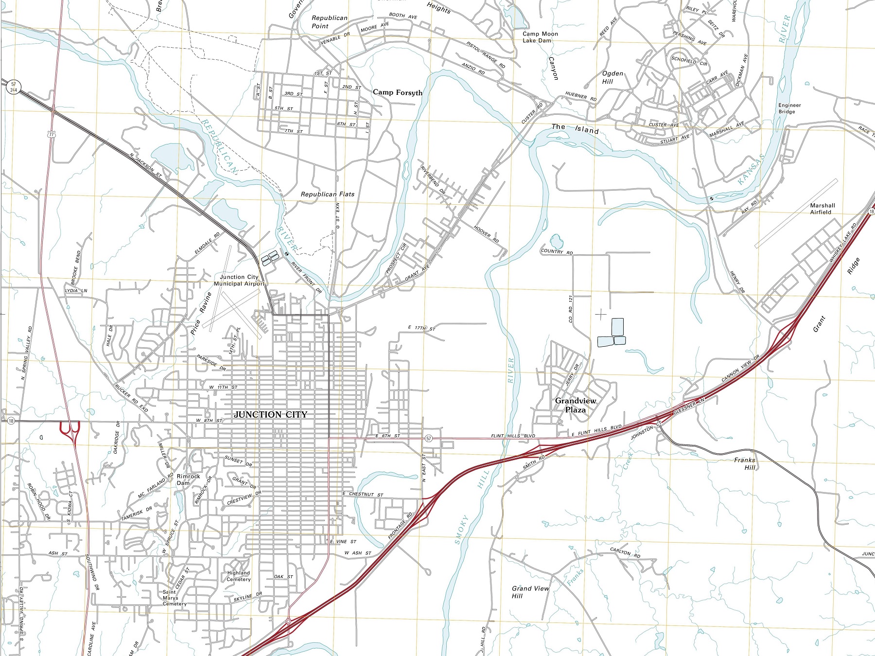
Planimetric maps are two-dimensional representations of the Earth’s surface, showing the location and spatial arrangement of features such as roads, buildings, and bodies of water. These maps are typically created using orthophotos or satellite imagery and are widely used in urban planning, surveying, engineering, and cartography.
Types of Planimetric Maps
There are several types of planimetric maps, each with its own unique characteristics and uses.
Topographic Maps: Topographic maps are the most common type of planimetric map. They show the contours of the land surface, indicating changes in elevation and slope. These maps typically include a variety of features such as roads, buildings, water bodies, and other points of interest. Topographic maps are commonly used by hikers, mountaineers, and other outdoor enthusiasts to navigate the terrain.
Street Maps: Street maps provide detailed information about road networks and transportation routes. They show the location of streets, highways, and other transportation infrastructure, as well as the names of individual streets and intersections. Street maps are widely used by drivers, cyclists, and pedestrians to navigate cities and towns.
Zoning Maps: Zoning maps depict the permitted land use in different areas. They show the location of different zoning districts, such as residential, commercial, and industrial areas, as well as the specific regulations that apply to each district. Zoning maps are used by urban planners, developers, and local governments to plan and manage land use in specific areas.
Parcel Maps: Parcel maps display property boundaries and ownership information. They show the location of individual parcels of land, as well as the names of the owners and other relevant information. Parcel maps are commonly used by real estate professionals, surveyors, and property owners to determine property boundaries and ownership.
Land Use Maps: Land use maps show how the land in a specific area is used. They indicate the location of different types of land uses, such as residential, commercial, agricultural, and industrial areas. Land use maps are used by urban planners, developers, and local governments to plan and manage land use in specific areas.
Geologic Maps: Geologic maps show the location and characteristics of different types of rocks and minerals in a specific area. They indicate the type and age of the rocks, as well as their physical and chemical characteristics. Geologic maps are used by geologists and other earth scientists to study the structure and history of the Earth’s crust.
Utility Maps: Utility maps show the location of different types of utility infrastructure, such as water and sewer lines, gas lines, and electrical lines. They indicate the size and location of the infrastructure, as well as any potential hazards or maintenance issues. Utility maps are used by utility companies, engineers, and other professionals to plan and manage infrastructure.
Uses of Planimetric Maps
Planimetric maps are used for a wide variety of purposes. Urban planners use these maps to plan and design communities, determine where to place new infrastructure, and assess the impact of development on the surrounding environment. Surveyors use planimetric maps to determine property boundaries and measure distances between points. Engineers use these maps to design transportation networks, water supply systems, and other types of infrastructure. Cartographers use planimetric maps to create accurate and detailed maps of specific areas, which can be used for navigation and other purposes.
Features of Planimetric Maps
Planimetric maps typically include a variety of features, such as roads, buildings, bodies of water, parks, and other points of interest. These maps often include detailed information about the location and size of these features, as well as their elevation, orientation, and other characteristics. Some planimetric maps also include contour lines, which indicate changes in elevation and help users understand the topography of the area.
Benefits of Planimetric Maps
Planimetric maps offer many benefits to users. They provide a detailed and accurate representation of the spatial arrangement of features in a particular area, making it easier to plan and design new infrastructure, assess the impact of development, and manage resources. These maps can also be used to analyze patterns of land use and population density, which can help policymakers make informed decisions about urban planning and development.
Learn more about Maps
- Topographical Maps: Representation of the physical features of a region or area.
- Contour Maps: Representation of the contours of the land surface or ocean floor.
- Raised Relief Maps: Representation of land elevations with raised features indicating landforms.
- Terrain Maps: Representation of the physical features of a terrain or landmass.
- USGS Topographic Maps: Representation of topographic features and land elevations based on USGS data.
- USGS Historical Topographic Maps: Representation of historical topographic maps created by the USGS.
- Watershed Maps: Representation of the areas where water flows into a particular river or lake.
- Elevation Maps: Representation of land and water elevations with high precision.
- Physical Maps: Representation of physical features of the Earth’s surface such as landforms, oceans, and plateaus.
- Bathymetric Maps: Representation of the topography and features of the ocean floor.
- NOAA Maps: Representation of atmospheric, oceanographic, and environmental data by NOAA.
- Nautical Maps: Representation of the underwater features and depth of an area for navigation purposes.
- Geologic Maps: Representation of the geologic features of an area such as rock types, faults, and folds.
- Satellite Maps: Representation of earth from high-definition satellite imagery.