Tag: Maps

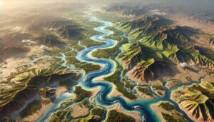
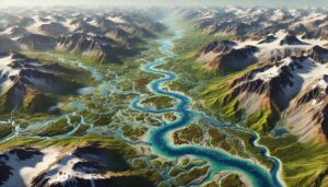
Kaveri River Watershed Map

Kaveri River Watershed Map

Explore the Kaveri River Watershed, a vital resource in southern India, known for its role in agriculture, hydropower, and ecosystems. Learn about its diverse geography, hydrology, and the essential role it plays in local communities. Advanced 3D mapping technologies are providing crucial insights to help conserve and sustainably manage the watershed. This ensures the river’s health for future generations, balancing ecological and human needs.
Read More »
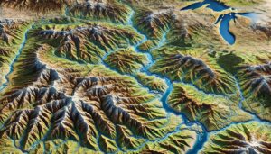
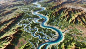
Montana Watershed Maps

Montana Watershed Maps

Dive into Montana’s stunning landscapes through its Watershed Maps, revealing the intricate flow of water, ecosystems, and human impact. Discover how 3D maps help manage vital resources, protect biodiversity, and ensure sustainable water use across the state, from the Rockies to the plains. This tool is essential for understanding and preserving Montana’s unique natural environment.

Read More »
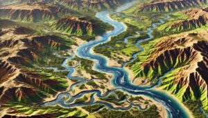
Afghanistan Watershed Maps

Afghanistan Watershed Maps

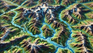
Explore Afghanistan’s watersheds, essential for agriculture, ecosystems, and water supply. Learn about the geography and hydrology of key river basins like the Helmand and Amu Darya. Discover how modern 3D mapping technologies are revolutionizing watershed management by providing accurate data on water flow, land use, and environmental changes. These tools help develop sustainable strategies for water conservation, ecosystem preservation, and climate adaptation, ensuring long-term resource availability.

Read More »
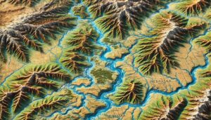
Benin Watershed Maps

Benin Watershed Maps

Benin’s watershed maps play a key role in managing the country’s rivers, wetlands, and groundwater systems. These maps help in flood management, water conservation, and adapting to climate change, ensuring sustainable water use for agriculture and communities.

Read More »
South Dakota Watershed Maps

South Dakota Watershed Maps

Discover the intricate water systems of South Dakota through detailed watershed maps. Explore how 3D mapping technology helps manage water resources, protect ecosystems, and ensure sustainability. Gain insights into how water flows across the state and the critical role watersheds play in maintaining South Dakota’s future.

Read More »
Niger River Watershed Map

Niger River Watershed Map

Explore the Niger River Watershed, one of West Africa’s most vital ecosystems, through advanced 3D mapping technologies. Discover how the river shapes the landscape, supports biodiversity, and provides essential resources. Dive into the heart of the Niger River’s complex system and learn how modern mapping helps ensure sustainable water management, conservation, and environmental resilience in the region.

Read More »
Nebraska Watershed Maps

Nebraska Watershed Maps

Discover Nebraska’s vital water systems through its Watershed Maps. Explore how these detailed 3D maps help manage water resources, support agriculture, and protect ecosystems. Gain insights into the state’s rivers, landscapes, and future sustainability efforts.

Read More »
Kobuk River Watershed Map

Kobuk River Watershed Map

Explore the Kobuk River Watershed, a vital waterway in Alaska’s Arctic. Learn how 3D mapping technology enhances water management, flood prediction, and conservation. Discover its importance for ecosystems, local communities, and the challenges it faces from climate change and industrial development.

Read More »
Uganda Watershed Maps

Uganda Watershed Maps

Uganda’s watersheds, including the Nile, Lake Victoria, and Lake Albert, are vital for agriculture and ecosystems. Learn how modern technologies like 3D mapping, GIS, and remote sensing help manage these systems, ensuring sustainable water use and addressing challenges like water scarcity, climate change, and population growth.

Read More »
Custom 3D raised relief topography map used at a Walker Basin Conservancy environmental education event to help local children understand the geography and function of their home watershed.

Walker Basin Conservancy 3D Watershed Map

Embark on a thrilling journey through Walker Basin’s aquatic wonderland with our immersive 3D Watershed Map. From the roaring rapids of its rivers to the tranquil beauty of its wetlands, every contour and current comes to life, inviting you to explore its secrets and uncover the delicate balance of land and water that sustains this vibrant ecosystem.

Read More »
Kodachrome Basin Raised Relief Map

Kodachrome Basin Raised Relief Map

Embark on a thrilling journey through the vibrant hues and towering spires of Kodachrome Basin. With our Raised Relief Map as your guide, every contour comes to life, inviting you to explore hidden treasures and awe-inspiring vistas. Let your imagination soar as you traverse this surreal landscape, where adventure awaits at every turn.

Read More »
Mining Open Pit 3D Topograpical Model

Canadian Mining Topographical Model

Embark on an adventure into the heart of Northern British Columbia’s mining landscape with our Canadian Mining Topographical Model. Crafted with precision by WhiteClouds, this immersive replica unveils the intricate network of open-pit mines and underground tunnels. Explore the rugged terrain, spark dialogue, and shape the future of sustainable development in remote communities – adventure awaits!

Read More »
Michigan 3D wall map at the WMU College of Arts and Sciences

Michigan 3D Map – the Third Coast

Step into a world where innovation meets artistry. Explore Michigan’s “Third Coast” like never before with our captivating 3D map, meticulously crafted to bring every contour and curve to life. Join us on a visual odyssey through the heartland’s natural splendor – adventure awaits!

Read More »
Breckenridge 3D Maps

Breckenridge 3D Maps

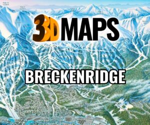
Embark on a thrilling journey through Breckenridge’s 3D maps, where craftsmanship meets adventure. Dive into the heart-pounding ski runs of Peak 10, the scenic trails of Peak 8, and the rich tapestry of culture awaiting in town. Experience the magic of Breckenridge, where every contour tells a story and every turn leads to exhilarating discoveries.

Read More »
Bangladesh Watershed Maps

Bangladesh Watershed Maps

Bangladesh’s watershed maps are essential for managing the seasonal flooding, protecting ecosystems, and ensuring water resources for millions. These maps help navigate the complex river systems of the country, facilitating flood management, agriculture, and water conservation.

Read More »
Serbia Watershed Maps

Serbia Watershed Maps

Serbia’s watersheds, including the Danube, Morava, and Tisa River Basins, are essential for agriculture and ecosystems. This blog explores how modern technologies like 3D mapping, GIS, and remote sensing help manage these vital water systems. These tools are critical for ensuring sustainable water use, addressing challenges like water scarcity, climate change, and growing population demands, while protecting Serbia’s valuable ecosystems and water resources.

Read More »

Get a Free Quote