Tag: Maps

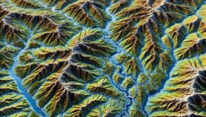
Lake Rukwa Basin Watershed Map

Lake Rukwa Basin Watershed Map

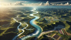
Explore the Lake Rukwa Basin Watershed, a vital resource for Tanzania, supporting agriculture, fishing, and local communities. Learn about its geography, hydrology, and ecosystems, and how 3D mapping technologies help manage and conserve this important area. These tools allow for better monitoring, scenario simulations, and sustainable resource management, ensuring the continued health of the watershed and its vital role for future generations.

Read More »
Kenya Watershed Maps

Kenya Watershed Maps

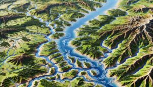
Kenya’s watersheds are vital for agriculture, hydropower, and ecosystems. This blog explores their significance, the challenges they face, and how 3D watershed maps contribute to managing water resources, reducing pollution, and supporting conservation efforts. Learn how mapping technologies help Kenya navigate water scarcity and climate change impacts while ensuring the sustainability of its vital water systems.

Read More »
Vermont Watershed Maps

Vermont Watershed Maps

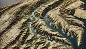
Discover Vermont’s intricate water systems through detailed watershed maps. Explore how 3D mapping technology helps manage water resources, protect ecosystems, and ensure sustainability. Learn how these maps are essential for guiding conservation efforts and navigating the challenges of climate change and water scarcity.

Read More »
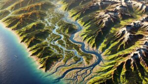
MacKenzie River Watershed Map

Mackenzie River Watershed Map

Discover the Mackenzie River Watershed, a vital water system shaping Canada’s north. Learn how 3D mapping technologies monitor water flow, support conservation, and guide sustainable management. Explore its diverse ecosystems, seasonal changes, and the river’s crucial role in local economies, while uncovering how advanced mapping tools help protect and manage this critical resource for future generations.
Read More »
Pennsylvania Watershed Maps

Pennsylvania Watershed Maps

Discover the intricate water systems of Pennsylvania through detailed watershed maps. Explore how 3D mapping technology helps manage water resources, protect ecosystems, and ensure sustainability. Gain insights into how water flows across the state and the critical role watersheds play in maintaining Pennsylvania’s future.

Read More »
North Dakota Watershed Maps

North Dakota Watershed Maps

Discover the intricate water systems of North Dakota through detailed watershed maps. Explore how 3D mapping technology helps manage water resources, protect ecosystems, and support sustainable development. Gain insights into how water flows through the state and the crucial role watersheds play in maintaining North Dakota’s future.

Read More »
North Carolina Watershed Maps

North Carolina Watershed Maps

Discover North Carolina’s intricate water systems through detailed watershed maps. Explore how 3D mapping technology helps manage water resources, protect ecosystems, and ensure sustainable development. Gain insights into how water flows across the state and the critical role watersheds play in preserving North Carolina’s future.

Read More »
Oklahoma Watershed Maps

Oklahoma Watershed Maps

Discover the intricate water systems of Oklahoma through detailed watershed maps. Explore how 3D mapping technology helps manage water resources, protect ecosystems, and ensure sustainable development. Gain insights into how water flows across the state and the crucial role watersheds play in maintaining Oklahoma’s future.

Read More »
Trinidad and Tobago Watershed Maps

Trinidad and Tobago Watershed Maps

Trinidad and Tobago’s watersheds, including the Caroni, Oropuche, and Courland River Basins, are essential for agriculture and ecosystems. Learn how modern technologies like 3D mapping, GIS, and remote sensing help manage these systems, ensuring sustainable water use and addressing challenges like water scarcity, climate change, and population growth, ultimately promoting a more resilient and sustainable future for the nation’s water resources.

Read More »
Congo River Watershed Map

Congo River Watershed Map

Discover the Congo River Watershed, a vital system that sustains ecosystems and communities across Central Africa. Learn how 3D mapping technology helps manage water resources, support conservation efforts, and predict flooding risks. Explore the unique hydrology, biodiversity, and challenges the watershed faces, all while uncovering the importance of preserving this critical natural resource.

Read More »

Louisiana Watershed Maps

Explore Louisiana’s complex watersheds, from the Mississippi River to coastal wetlands, and discover how 3D mapping technology is transforming water management. These advanced maps provide essential insights into water flow, conservation, and climate adaptation, ensuring sustainable solutions for agriculture, industry, and ecosystem protection across the Pelican State.

Read More »
Yazoo River Watershed Map

Yazoo River Watershed Map

Discover the significance of the Yazoo River Watershed, a crucial resource in Mississippi. Learn how 3D mapping technology helps manage water flow, control flooding, and protect ecosystems. Explore its vital role in supporting local communities, agriculture, and wildlife, while ensuring sustainable water management in the region.

Read More »
Lake Tana Basin Watershed Map

Lake Tana Basin Watershed Map

Explore the Lake Tana Basin Watershed, a crucial resource in Ethiopia. Learn about its geography, rich ecosystems, and biodiversity, and how advanced 3D mapping technology helps manage and conserve its water and land resources. This vital watershed, feeding the Blue Nile, faces growing challenges, but through sustainable management practices and the use of mapping tools, its health and future can be preserved for generations to come.

Read More »
Arizona Watershed Maps

Arizona Watershed Maps

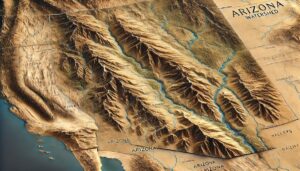
Explore Arizona’s dynamic watersheds, from the Colorado River to the Salt River, and discover how 3D mapping technology is revolutionizing water management and conservation. Understand the intricate flow of water through this arid landscape, and learn how these maps are vital for ensuring sustainable water resources, protecting ecosystems, and addressing the challenges of climate change and population growth.

Read More »

Russian River Watershed Map

Discover the Russian River Watershed, a vital water system in Northern California. Learn how 3D mapping technology enhances water management, conservation, and flood prediction. Explore its role in supporting local ecosystems, agriculture, and communities, while ensuring the sustainability of this essential river system.

Read More »

Get a Free Quote