Tag: Maps

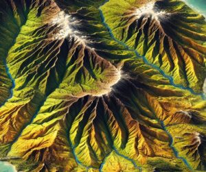
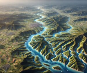
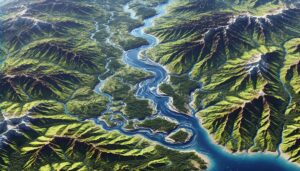
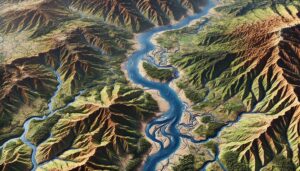
Beni River Watershed Map

Beni River Watershed Map

Discover the Beni River Watershed, a crucial Amazonian water system. Explore its dynamic geography, rich ecosystems, and how cutting-edge 3D mapping technology helps guide sustainable management and conservation efforts to protect this vital region.
Read More »
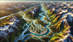
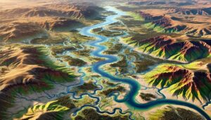
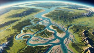
Matanuska-Susitna Basin Watershed Map

Matanuska-Susitna Basin Watershed Map

Discover the Matanuska-Susitna Basin Watershed Map, a window into Alaska’s dynamic ecosystems and water systems. Uncover its intricate rivers, seasonal flow patterns, and human impact, brought to life with cutting-edge 3D mapping technology. This tool guides sustainable water management and conservation, ensuring the future health of this vital basin for generations to come.

Read More »
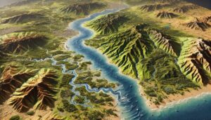
Montana Topo Map

Montana Topo Map

Discover Montana’s breathtaking geography with topographic maps revealing Glacier National Park’s rugged peaks, the Great Plains’ vast open spaces, and iconic river systems. From the Yellowstone River valleys to hidden karst caves, 2D and 3D maps bring Big Sky Country to life, offering adventurers and conservationists a deeper connection to its natural beauty and diverse landscapes.

Read More »
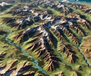
Maui Topo Map

Maui Topo Map

Discover Maui’s breathtaking landscapes with topo maps that unveil its volcanic peaks, lush rainforests, and stunning coastlines. Learn how 2D and 3D maps are expertly crafted to capture every detail of the Valley Isle’s terrain. Perfect for adventurers, scientists, and planners, these maps showcase Maui’s natural beauty and cultural significance, inspiring exploration and deeper connections to this incredible island.

Read More »
Europe Topo Map

Europe Topo Map

Discover Europe’s stunning landscapes with topographic maps revealing the towering Alps, rugged Scottish Highlands, and serene Mediterranean coastlines. From glacial fjords to rolling plains, 2D and 3D maps bring Europe to life, offering adventurers and conservationists a deeper connection to its diverse and breathtaking geography.

Read More »
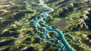
Yenisei River Watershed Map

Yenisei River Watershed Map

Discover the Yenisei River Watershed, one of Siberia’s most vital ecosystems. Learn how advanced 3D mapping technologies help manage this vast river system, monitor its health, and support conservation efforts. Explore its rich biodiversity, seasonal changes, and how the map helps ensure sustainable water management, flood prediction, and long-term resilience for the region’s communities and ecosystems.

Read More »
Mahanadi River Watershed Map

Mahanadi River Watershed Map

Explore the Mahanadi River Watershed, a crucial water system in Eastern India. Delve into its dynamic geography, ecosystems, and how cutting-edge 3D mapping technology aids in sustainable management, conservation, and decision-making for a balanced future.

Read More »
Colorado Topo Map

Colorado Topo Map

Discover Colorado’s breathtaking landscapes through detailed topographic maps that reveal the towering Rockies, dramatic plateaus, and rolling plains. Whether hiking Fourteeners, exploring canyons, or navigating the Great Plains, 2D and 3D maps bring Colorado’s diverse terrain to life, offering adventurers and explorers an immersive way to connect with the state’s natural beauty and geological wonders.

Read More »

Alabama River Watershed Map

Discover the Alabama River Watershed, a vital lifeline for ecosystems, agriculture, and communities in the Deep South. Explore its intricate waterways, rich biodiversity, and cultural heritage. Learn how stunning 3D maps bring its geography to life, addressing challenges like climate change and habitat loss while preserving its natural beauty and resources for future generations.

Read More »
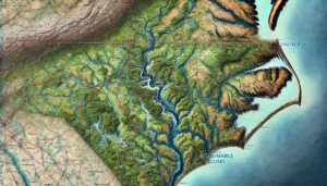
Tar River Watershed Map

Tar River Watershed Map

Discover the Tar River Watershed, a vital North Carolina ecosystem flowing from the Piedmont to the Albemarle Sound. Explore its rich biodiversity, seasonal dynamics, and how innovative 3D mapping technologies transform our understanding and management of this essential waterway, ensuring sustainability for future generations.

Read More »
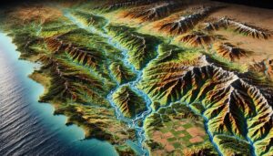
Salinas River Watershed Map

Salinas River Watershed Map

Discover the Salinas River Watershed Map, a gateway to California’s dynamic ecosystems. Unveil its river systems, vibrant habitats, and human interactions, brought to life through cutting-edge 3D mapping technology. Explore how this tool guides conservation, sustainable resource management, and the preservation of one of the region’s most vital waterways for future generations.

Read More »
Murray-Darling Watershed Map

Murray-Darling Watershed Map

Dive into the Murray-Darling River Watershed, one of Australia’s most vital ecosystems. Explore how advanced 3D mapping technologies help manage this vast water system, ensuring sustainable resource use, conservation, and flood prediction. Discover the critical role this river plays in agriculture, industry, and wildlife, and how technology is helping safeguard its future in the face of growing challenges.

Read More »
Purús River Watershed Map

Purús River Watershed Map

Discover the Purus River Watershed, a crucial part of the Amazon. Explore its rich biodiversity, dynamic hydrology, and how cutting-edge 3D mapping is transforming sustainable management and conservation efforts in this vital region.

Read More »
Río de la Plata Watershed Map

Río de la Plata Watershed Map

Discover the Río de la Plata Watershed, where the Paraná and Uruguay rivers converge. Learn how 3D mapping technologies monitor water flow, support conservation, and manage resources. Explore the diverse ecosystems, seasonal dynamics, and the vital role this watershed plays in shaping the region’s environment, economy, and biodiversity, while addressing challenges like pollution and climate change.

Read More »
Sweden Watershed Maps

Sweden Watershed Maps

Sweden’s watersheds, including the Göta älv, Dalälven, and Lule River Basins, are essential for agriculture and ecosystems. Learn how modern technologies like 3D mapping, GIS, and remote sensing are used to monitor these vital water systems. These technologies help manage water flow, predict future availability, and address challenges like water scarcity, climate change, and urban growth, ensuring sustainable water use for the future.

Read More »
Missouri Topo Map

Missouri Topo Map

Discover Missouri’s diverse terrain with topographic maps revealing the rugged Ozarks, fertile river valleys, rolling prairies, and vast cave systems. From the flat Bootheel plains to the dramatic karst formations, 2D and 3D maps bring the Show-Me State’s geography to life, offering adventurers and conservationists a deeper connection to its natural beauty and rich landscapes.

Read More »

Get a Free Quote