Tag: Maps

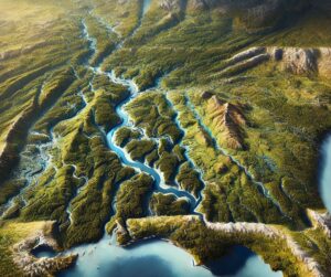
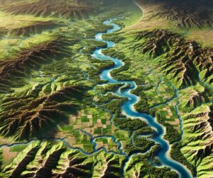
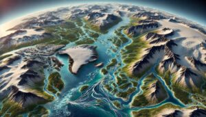
Kansas River Watershed Map

Discover the Kansas River Watershed, a vital Great Plains system sustaining ecosystems, agriculture, and communities. Explore its intricate waterways, rich biodiversity, and cultural significance. Learn how stunning 3D maps bring its geography to life, addressing challenges like climate change and habitat loss while preserving its natural beauty and resources for future generations.
Read More »
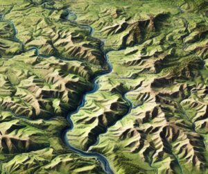
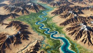
Illinois River Watershed Map

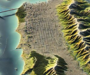
Illinois River Watershed Map

Discover the Illinois River Watershed, a vital Midwest resource sustaining ecosystems, agriculture, and communities. Explore its intricate waterways, rich biodiversity, and cultural significance. Learn how stunning 3D maps bring its geography to life, addressing challenges like climate change and habitat loss while preserving its natural beauty and resources for future generations.
Read More »
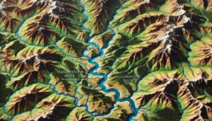
Arctic Ocean Basin Watershed Map

Arctic Ocean Basin Watershed Map

Dive into the Arctic Ocean Basin Watershed, a critical water system shaped by rivers, glaciers, and ice. Learn how 3D mapping technologies are revealing the impacts of climate change, monitoring water flow, and supporting conservation efforts. Discover the unique ecosystems and challenges of this remote region and how advanced mapping is helping safeguard its future in a warming world.

Read More »
San Francisco Topo Map

San Francisco Topo Map

Discover San Francisco’s iconic hills, coastlines, and landmarks with topo maps that blend precision and artistry. Learn how 2D and 3D maps are crafted to capture every detail of this dynamic city, from Twin Peaks to the Golden Gate Bridge. Perfect for explorers, planners, and conservationists, these maps reveal the stunning interplay of natural beauty and urban design in the City by the Bay.

Read More »
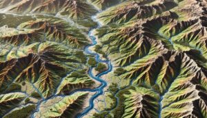
Klamath River Watershed Map

Klamath River Watershed Map

Discover the Klamath River Watershed Map, a window into one of the Pacific Northwest’s most vital ecosystems. Uncover its river systems, diverse habitats, and human impact, brought to life with cutting-edge 3D mapping technology. Explore how this innovative tool guides conservation, sustainable water management, and the preservation of the Klamath River for future generations.

Read More »
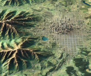
Denver Topo Map

Denver Topo Map

Discover Denver’s stunning landscapes with topo maps that unveil its urban sprawl, Rocky Mountain peaks, and scenic valleys. Learn how 2D and 3D maps are meticulously crafted to capture every detail of the Mile-High City’s terrain. Perfect for adventurers, planners, and conservationists, these maps provide an unparalleled view of Denver’s unique geography and inspire deeper connections to its vibrant and dynamic environment.

Read More »
Clinch River Watershed Map

Clinch River Watershed Map

Discover the Clinch River Watershed Map, unlocking the dynamic relationship between water, land, and ecosystems. Explore its hydrology, seasonal flow, and human influence, brought to life with cutting-edge 3D mapping technology. This tool guides conservation, sustainable water management, and planning efforts, ensuring the Clinch River’s health and vitality for future generations.

Read More »
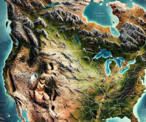
North America Topo Map

North America Topo Map

Discover North America’s stunning terrain with topographic maps revealing the Rockies’ towering peaks, Great Plains’ vast grasslands, and Great Lakes’ vast waters. From the Arctic tundra to the tropical Caribbean, 2D and 3D maps bring the continent’s breathtaking diversity to life, guiding adventurers and conservationists through its unique and captivating landscapes.

Read More »
Nebraska Topo Map

Nebraska Topo Map

Discover Nebraska’s stunning geography with topographic maps revealing the rolling Sandhills, fertile Platte River Valley, rugged Missouri River Bluffs, and vast High Plains. From unique wetlands to iconic rock formations, 2D and 3D maps bring the Cornhusker State’s landscapes to life, offering adventurers, conservationists, and educators a deeper connection to its natural beauty and geographic diversity.

Read More »
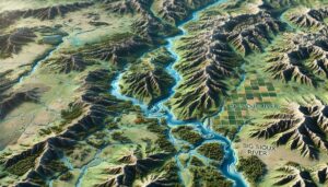
Big Sioux River Watershed Map

Big Sioux River Watershed Map

Discover the Big Sioux River Watershed Map, a gateway to understanding the river’s ecology, seasonal flow, and human impact. Explore the dynamic relationship between the land, water, and ecosystems, brought to life with cutting-edge 3D mapping technology. This tool guides sustainable management, conservation efforts, and future planning to preserve the watershed’s health for generations to come.

Read More »
Connecticut Topo Map

Connecticut Topo Map

Discover Connecticut’s stunning terrain through detailed topographic maps that unveil rolling hills, fertile river valleys, and scenic coastlines. From the Litchfield Hills to the Connecticut River Valley and rugged Eastern Highlands, 2D and 3D maps bring the state’s landscapes to life. Perfect for adventurers, educators, and conservationists, these maps reveal the hidden beauty and diversity of the Constitution State.

Read More »
Tombigbee River Watershed Map

Tombigbee River Watershed Map

Discover the Tombigbee River Watershed Map, a gateway to understanding one of the Southeast’s most vital waterways. Unveil its ecosystems, hydrology, and human connections, all brought to life with cutting-edge 3D mapping technology. Explore how this innovative tool guides conservation, sustainable water management, and the preservation of the Tombigbee River for future generations.

Read More »
Delaware Topo Map

Delaware Topo Map

Discover Delaware’s stunning landscapes through detailed topographic maps that unveil rolling hills, flat coastal plains, and the dynamic Delaware Bay. From exploring the Piedmont Plateau to navigating waterways and marshes, 2D and 3D maps bring the First State’s terrain to life. Perfect for adventurers, conservationists, and educators, these maps reveal Delaware’s subtle beauty and geographical diversity.

Read More »

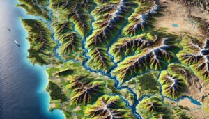
Mobile River Watershed Map

Discover the Mobile River Watershed, a vital Gulf Coast system sustaining diverse ecosystems, vibrant communities, and thriving industries. Explore its intricate waterways, rich biodiversity, and economic importance. Learn how stunning 3D maps bring its geography to life, addressing challenges like climate change and habitat loss while preserving its natural beauty and resources for future generations.
Read More »
Indus River Watershed Map

Indus River Watershed Map

Discover the Indus River Watershed, a vital water system for over 200 million people. Explore how advanced 3D mapping technologies help manage its resources, track seasonal flows, and support conservation efforts. Learn about the river’s rich biodiversity, its historical significance, and the challenges of water scarcity, pollution, and climate change affecting the region’s future.

Read More »
Yellowstone River Watershed Map

Yellowstone River Watershed Map

Discover the Yellowstone River Watershed Map, a window into one of North America’s most iconic ecosystems. Uncover its diverse landscapes, dynamic hydrology, and human connections, all brought to life through cutting-edge 3D mapping technology. Explore how this innovative tool guides conservation, sustainable resource management, and the future of this vital river system.

Read More »

Get a Free Quote