- All
- Articles
- Blog
- Case Studies
- Featured
- Galleries
- Glossaries
- Products
- Services
- Top 10
- Videos
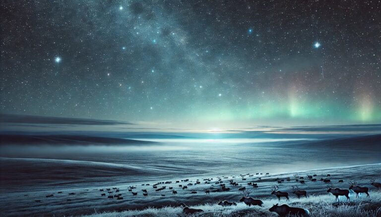
Top 10 Largest Tundras in the World
Explore the world’s largest tundras, from the vast Arctic to the high Tibetan Plateau. Discover their immense size, unique wildlife, and rich histories. These frozen ...
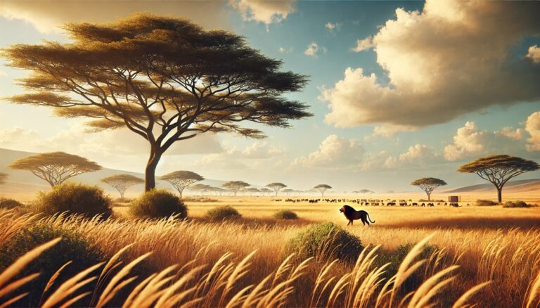
Top 10 Largest Savannas in the World
Explore the world’s largest savannas, from Africa’s iconic Serengeti to Brazil’s biodiverse Cerrado. Discover their immense size, unique wildlife, and rich histories. These incredible landscapes ...
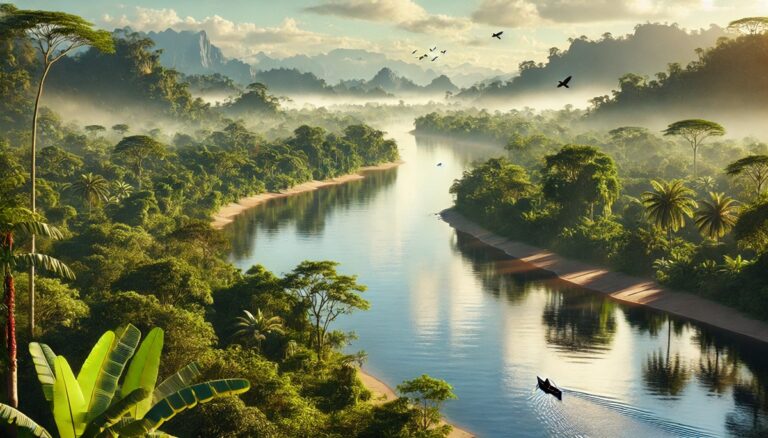
Top 10 Rivers in South America
Journey through South America’s top 10 rivers, from the legendary Amazon to the winding Orinoco. Discover their immense size, rich biodiversity, and fascinating histories. These ...
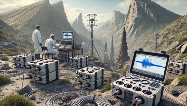
Top 10 Discoveries Using Seismology
Explore the top 10 discoveries made through seismology, from uncovering Earth’s core and mantle to detecting nuclear tests and imaging other planets. Learn how seismic ...
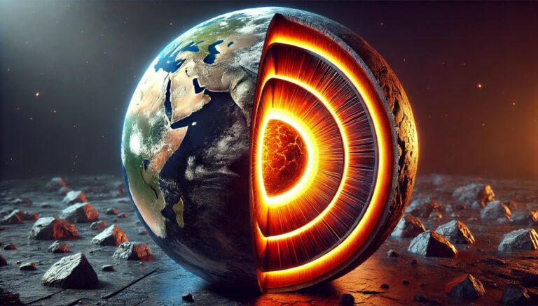
Top 10 Facts about the Earths Core
Explore the mysteries of Earth's core, a hidden world of immense size, intense heat, and dynamic power. Learn how it shapes our planet's magnetic field, ...

Top 10 Best Lakes for Scuba Diving in the United States
Dive into the top 10 U.S. lakes for scuba enthusiasts, from Lake Superior's legendary shipwrecks to Crater Lake's surreal volcanic depths. Explore underwater treasures, vibrant ...

Top 10 Best Lakes for Fishing in the United States
Explore the top 10 fishing lakes in the U.S., from the vast waters of Lake Superior to the serene charm of Table Rock Lake. These ...
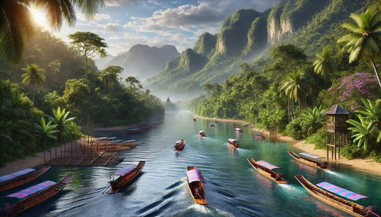
Top 10 Rivers in Asia
Discover Asia's top 10 rivers, from the legendary Yangtze to the sacred Ganges, each flowing through breathtaking landscapes and rich histories. These lifelines have shaped ...
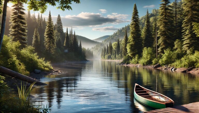
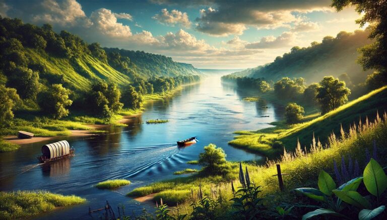
Top 10 Rivers in North America
Discover North America's top 10 rivers, from the vast Missouri to the iconic Colorado, each with its unique history, natural beauty, and cultural impact. These ...
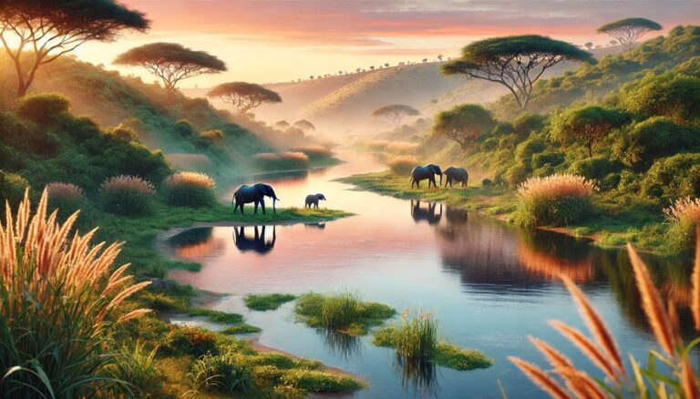
Top 10 Rivers in Africa
Journey through Africa's top 10 rivers, from the legendary Nile to the breathtaking Zambezi, uncovering their immense size, rich histories, and vibrant ecosystems. These rivers ...
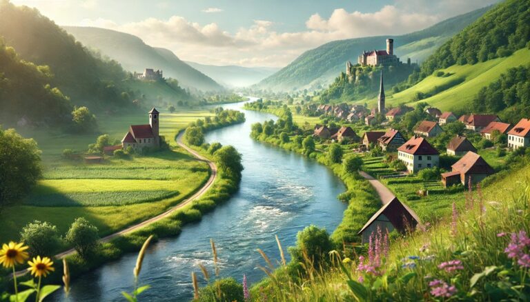
Top 10 Rivers in Europe
Journey through Europe's top 10 rivers, from the mighty Volga to the romantic Loire, uncovering their breathtaking beauty, rich history, and cultural significance. These waterways ...
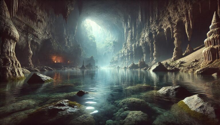
Top 10 Largest Underground Rivers in the World
Dive into the hidden world of Earth's largest underground rivers, where winding waterways carve through ancient caves, revealing breathtaking formations and secrets of history. From ...
Top 10 Unique Characteristics of the Mississippi River
Discover the wonders of the Mississippi River, a 2,340-mile marvel shaping history, culture, and ecosystems. From its vast drainage basin to record biodiversity, iconic landmarks, ...

Top 10 Facts about the Amazon River
Dive into the wonders of the Amazon River, from its staggering 4,345-mile length and vibrant biodiversity to the legendary pink dolphins and the awe-inspiring Meeting ...
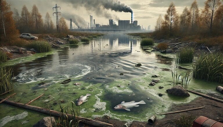
Top 10 Most Polluted Lakes in the United States
Discover the stories of the top 10 most polluted lakes in the U.S., from Lake Okeechobee’s toxic algal blooms to the eerie decline of California’s ...

Top 10 Most Polluted Lakes in the World
Dive into the stories of the world's 10 most polluted lakes from radioactive Lake Karachay to algae-choked Lake Taihu. Explore their histories, environmental struggles, and ...

Top 10 Lakes with Unique Colors
Dive into the worlds most mesmerizing lakes, where colors like turquoise, crimson, and pink create surreal landscapes. From the vast blue depths of Lake Superior ...

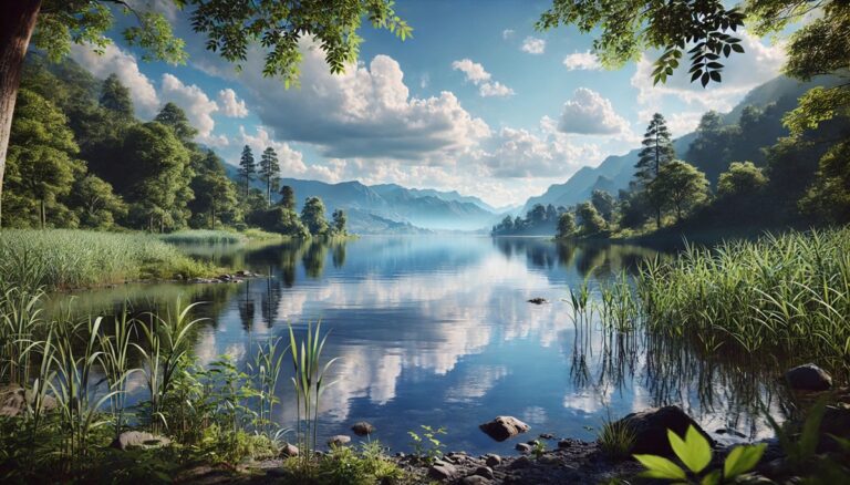
Top 10 Most Beautiful Lakes in the United States
Explore the top 10 most stunning lakes in the United States! From the vast horizons of Lake Superior to the serene depths of Crater Lake, ...

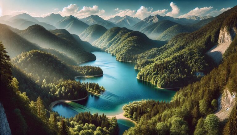
Top 10 Most Beautiful Lakes in the World
Explore the world's most breathtaking lakes, from the vast Caspian Sea to the magical depths of Crater Lake. Discover their stunning beauty, rich histories, and ...
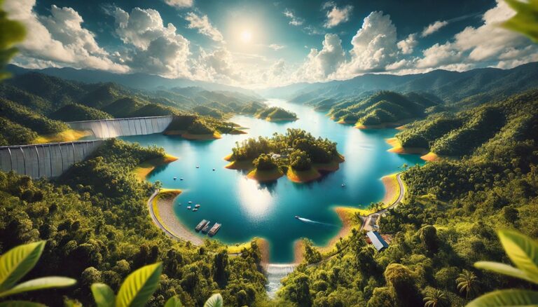
Top 10 Largest Artificial Lakes
Explore the awe-inspiring stories of the world's 10 largest artificial lakes. From massive hydroelectric powerhouses to scenic recreational havens, each lake boasts unique histories, stunning ...
Top 10 Lakes with the Largest Volume of Water
Dive into the wonders of the world's largest lakes by volume, from the mysterious depths of Lake Baikal to the vast expanse of the Caspian ...
Top 10 Lakes with the Highest Elevation
Explore the worlds highest lakes, from the vast waters of Lake Titicaca to the remote beauty of Ojos del Salado. These natural wonders captivate with ...

Top 10 Geothermal Areas in the United states
Discover the U.S.'s top geothermal wonders, from Yellowstone's iconic geysers to Hawaii's fiery Kilauea. Dive into breathtaking landscapes, fascinating history, and natural marvels shaped by ...
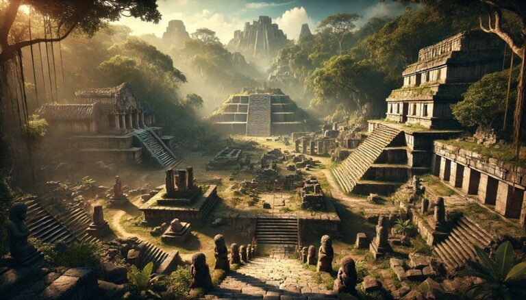
Top 10 Archaeological Sites in the World
Explore the world’s most awe-inspiring archaeological sites, from the vast Great Wall of China to the mysterious Machu Picchu. Uncover ancient wonders, hidden stories, and ...

Top 10 Deadliest Earthquakes in History
Discover the top 10 deadliest earthquakes in history, from the record-breaking 1960 Valdivia to the catastrophic 2004 Indian Ocean quake. Explore their immense power, shocking ...
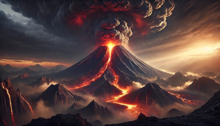
Top 10 Deadliest Volcanic Eruptions in History
Discover the explosive power of the world’s deadliest volcanoes! From Mount Tambora’s catastrophic eruption to the destruction of St. Pierre by Mount Pelee, these volcanic ...
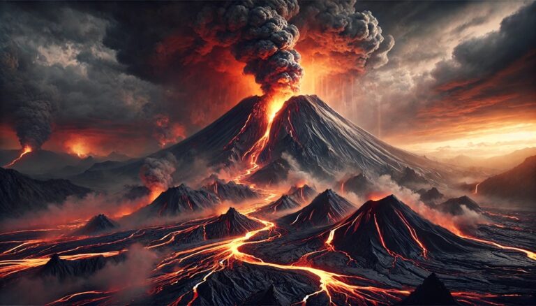
Top 10 Most Active Volcanoes Today
Discover the world's most active volcanoes, from Hawaii's massive Mauna Loa to Italy's explosive Mount Etna. Each volcano has a unique story of eruptions, fascinating ...
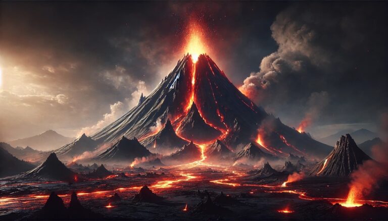
Top 10 Dormant Volcanoes that Could Erupt
Discover the top 10 dormant volcanoes that could erupt, from Hawaii’s massive Mauna Loa to Africa’s iconic Mount Kilimanjaro. Uncover their awe-inspiring size, rich histories, ...