- All
- Articles
- Blog
- Case Studies
- Featured
- Galleries
- Glossaries
- Products
- Services
- Top 10
- Videos

Top 10 Largest Fossils Ever Found
From towering dinosaurs like Argentinosaurus to the fearsome Megalodon, explore the top 10 largest fossils ever discovered. These colossal creatures, some over 130 feet long, ...
Top 10 Most Magnetic Minerals
Explore the world of magnetic minerals with our top 10 list! From the mighty Magnetite to the mysterious Pyrrhotite, uncover their incredible sizes, fascinating histories, ...

Top 10 Clint Eastwood Movies
Dive into the legendary world of Clint Eastwood with our top 10 movie list, showcasing iconic Westerns, gripping dramas, and unforgettable characters. Explore fascinating behind-the-scenes ...
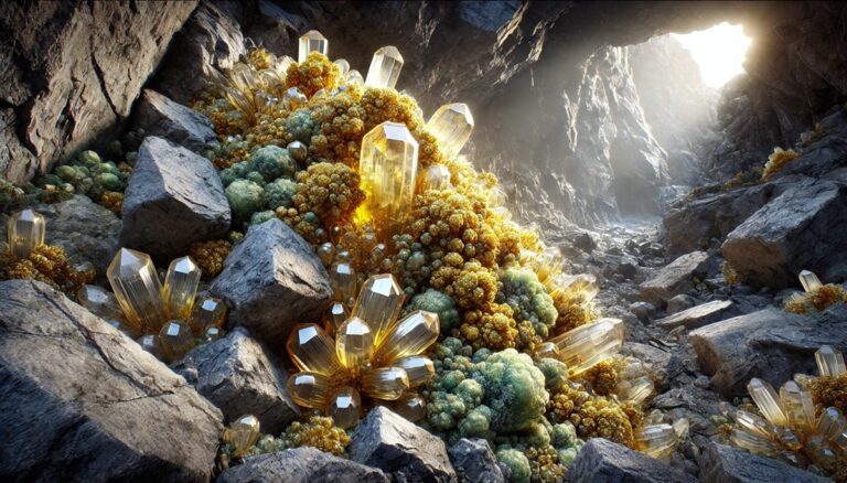
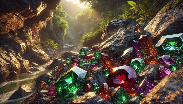
Top 10 Largest Gemstones Ever Discovered
Explore the world’s top 10 largest gemstones, including the legendary Cullinan Diamond and the rare Black Star of Queensland. Uncover their astonishing sizes, rich histories, ...
Top 10 Fluorescent Minerals
Explore the world of fluorescent minerals with our top 10 list, featuring stunning UV light displays and vibrant colors. From the glowing greens of willemite ...
Top 10 Radioactive Minerals
Explore the fascinating world of radioactive minerals, from the powerful uraninite to the glowing autunite. Learn about their sizes, unique properties, and the rich history ...
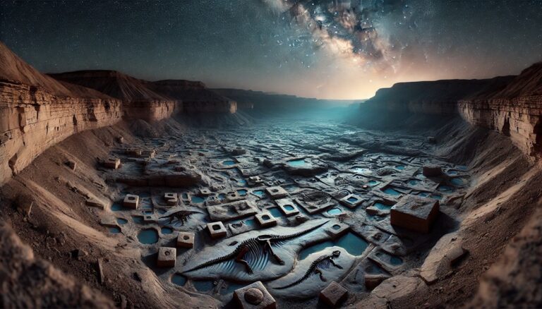
Top 10 Most Famous Fossil Sites
Discover the world’s most iconic fossil sites, from the rich deposits of the La Brea Tar Pits to the ancient wonders of the Gobi Desert. ...

Top 10 Methods for Dating Fossils
Discover the fascinating world of fossil dating with the top 10 methods, from radiocarbon dating revolutionizing archaeology to paleomagnetic techniques unveiling Earth's ancient secrets. Explore ...
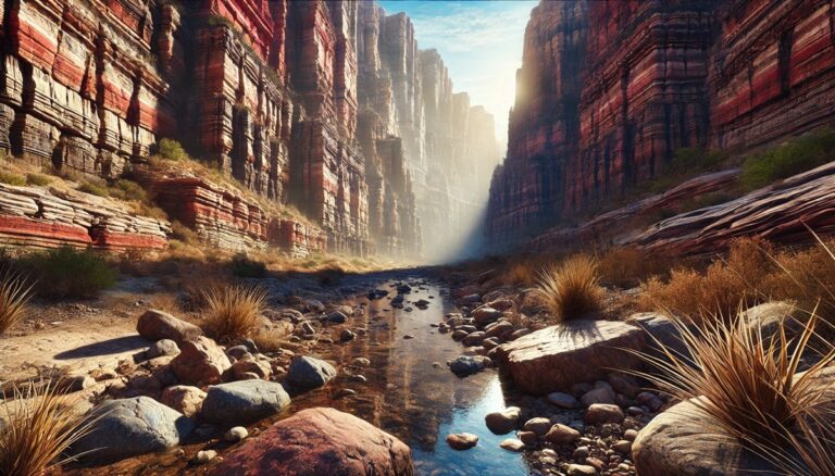
Top 10 Oldest Rocks on Earth
Explore Earth's ancient past through the top 10 oldest rocks, from the tiny Jack Hills zircon to vast cratons like the Superior and Yilgarn. These ...
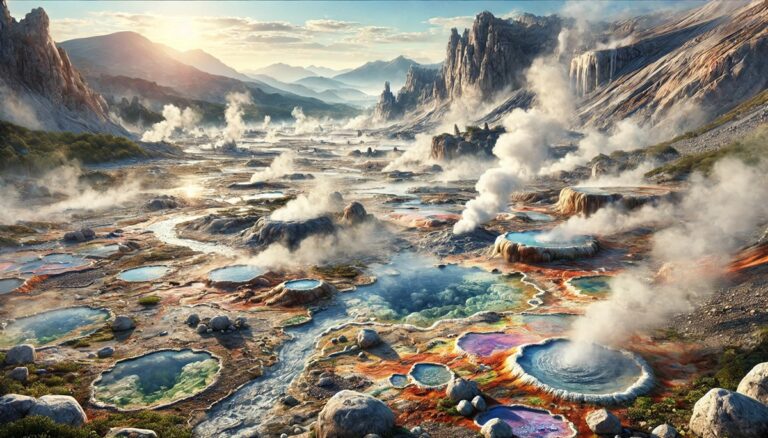
Top 10 Geothermal Areas in the World
Explore the planet’s top geothermal wonders, where geysers roar, hot springs dazzle, and volcanic landscapes reveal Earth’s fiery core. From Yellowstone's vast geothermal marvels to ...

Top 10 Deep-Sea Creatures
Dive into the mysterious depths with our Top 10 Deep-Sea Creatures list! From the colossal squid to the eerie goblin shark, discover the fascinating adaptations ...

Top 10 Best Spots for Scuba Diving
Dive into the world’s top scuba destinations! From the vast Great Barrier Reef to the vibrant depths of Raja Ampat, explore stunning marine life, historic ...

Top 10 Oil Spills in History
From the Deepwater Horizon disaster to the Great Barents Sea spill, explore the 10 largest and most devastating oil spills in history. Discover their immense ...

Top 10 Highest Tides in the World
Discover the world's most awe-inspiring tides, from the jaw-dropping 53.4-foot range of the Bay of Fundy to the tidal wonders of Mont-Saint-Michel. These natural phenomena ...

Top 10 Largest Marine Mammals
Dive into the world of the ocean’s giants! From the awe-inspiring blue whale to the mysterious narwhal, explore the fascinating lives, sizes, and histories of ...
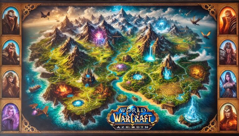
Top 10 World of Warcraft Maps
Embark on a journey through the top 10 World of Warcraft maps, where vast landscapes, rich lore, and epic adventures await. From Northrend’s frozen peaks ...

Top 10 Largest Animals in the World
From the colossal blue whale to the towering giraffe, explore the world’s largest animals! Uncover fascinating facts about these giants, their habitats, and their extraordinary ...

Top 10 Exotic Sand Types
Discover the world’s most exotic sands, from the dazzling pink shores of the Bahamas to the volcanic black sands of Hawaii. Each type tells a ...
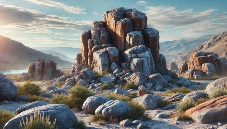
Top 10 Igneous Rocks and their Formation
Discover the world of igneous rocks, from the majestic granite to the volcanic beauty of scoria! Learn about their formation, stunning locations, and intriguing history. ...
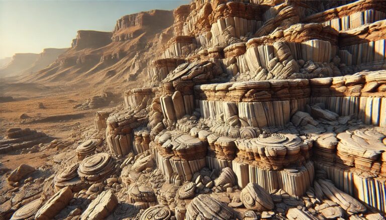
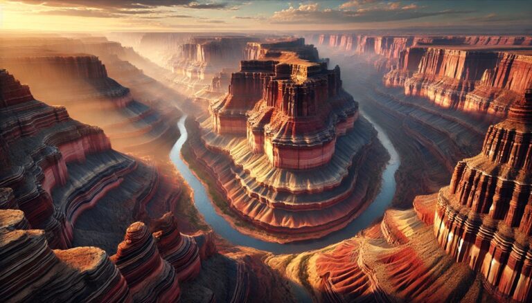
Top 10 Sedimentary Rocks in the World
Explore the world's top sedimentary rocks, from the towering sandstone of the Grand Canyon to the mystical limestone peaks of Guilin. Uncover their sizes, histories, ...
Top 10 Metamorphic Rocks and their Uses
Discover the captivating world of metamorphic rocks, from marble’s timeless beauty to slate’s practical durability. Uncover their origins, fascinating histories, and unique uses in art, ...
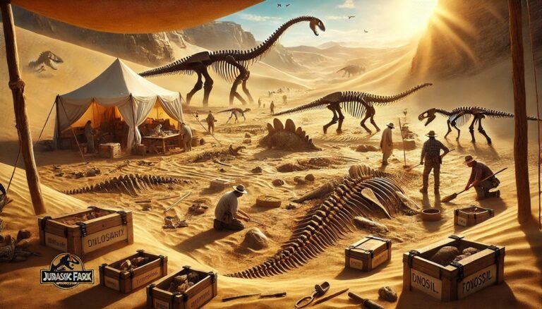
Top 10 Fossils that Changed Science
Unearth the most groundbreaking fossils that changed science forever! From Sue the T. rex’s towering dominance to Lucy’s pivotal role in human evolution, these discoveries ...
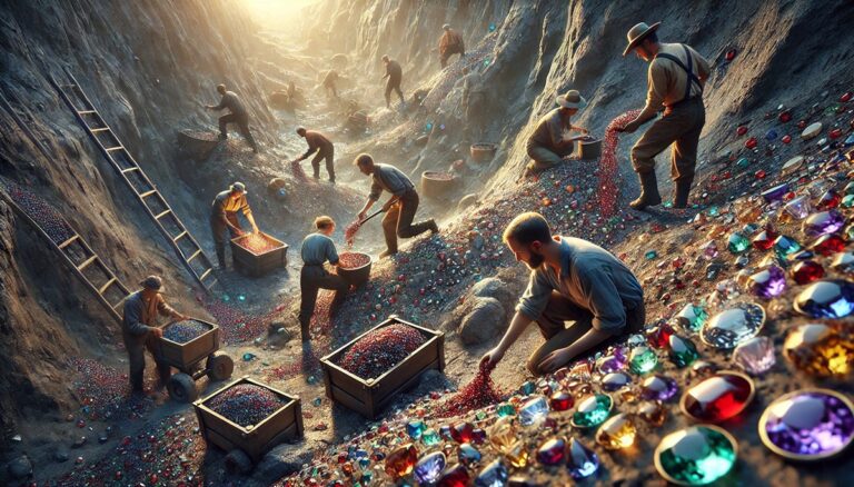
Top 10 Most Valuable Gemstones
Uncover the world’s most valuable gemstones, from the colossal Cullinan Diamond to the dazzling Paraiba Tourmaline. Explore their breathtaking beauty, fascinating histories, and legendary tales. ...

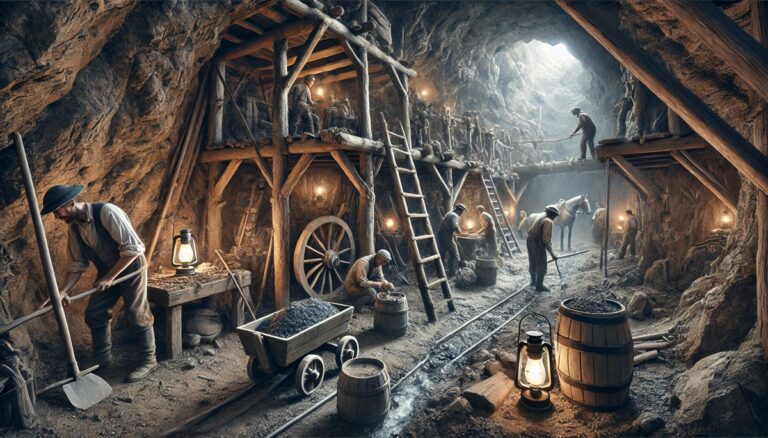
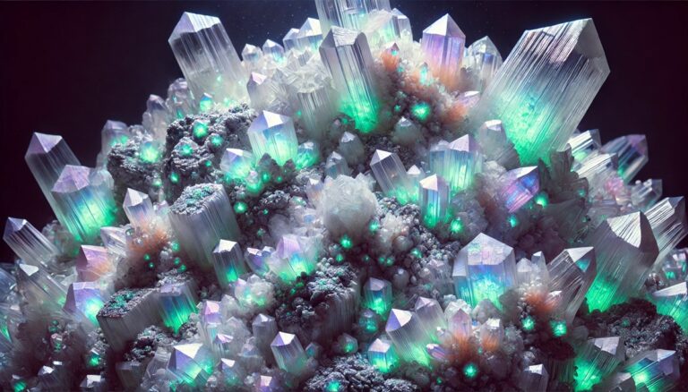
Top 10 Rarest Minerals in the World
Explore the captivating world of the top 10 rarest minerals on Earth! From Painite's legendary scarcity to Fingerite's fleeting beauty, uncover their unique properties, origins, ...
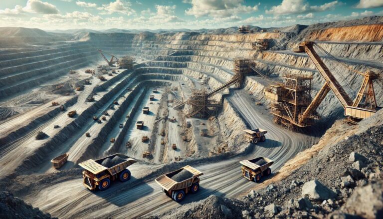
Top 10 Largest Copper Mines in the World
Uncover the giants of copper mining! From Chile’s vast Escondida to Utah’s iconic Bingham Canyon, explore the top 10 largest copper mines worldwide. Dive into ...
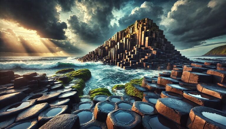
Top 10 Geologic Sites in the World
Embark on a journey through Earth's most stunning geologic wonders, from the depths of the Mariana Trench to the heights of Mount Everest. Discover ancient ...

Top 10 Geologic Sites in the United States
Explore the USA's top 10 geologic wonders, from the breathtaking Grand Canyon to the mysterious Mammoth Cave. Uncover ancient histories, fascinating facts, and awe-inspiring landscapes ...
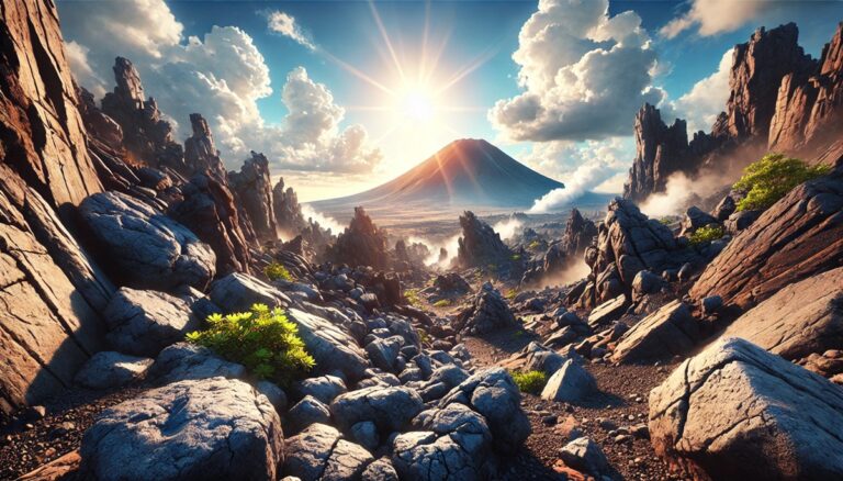
Top 10 Geological Wonders
Journey through Earth's top 10 geological wonders, from the towering peaks of Mount Everest to the depths of the Mariana Trench. Uncover the history, fascinating ...