Mapping the Way: How NOAA Maps
are Changing the Game
We Build Custom 2D and 3D NOAA Maps
Did you know we make
3D raised-relief maps

and
3D raised-relief maps

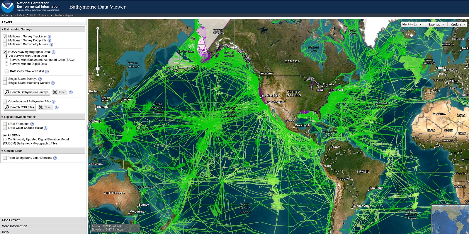
Get ready to be amazed by the incredible power of NOAA maps! These maps are a game-changing tool that helps us understand and predict the weather and environmental conditions around us. Whether you’re a meteorologist, an emergency manager, or just an everyday person trying to stay safe, NOAA maps provide critical information that can help you make informed decisions in a rapidly changing world.
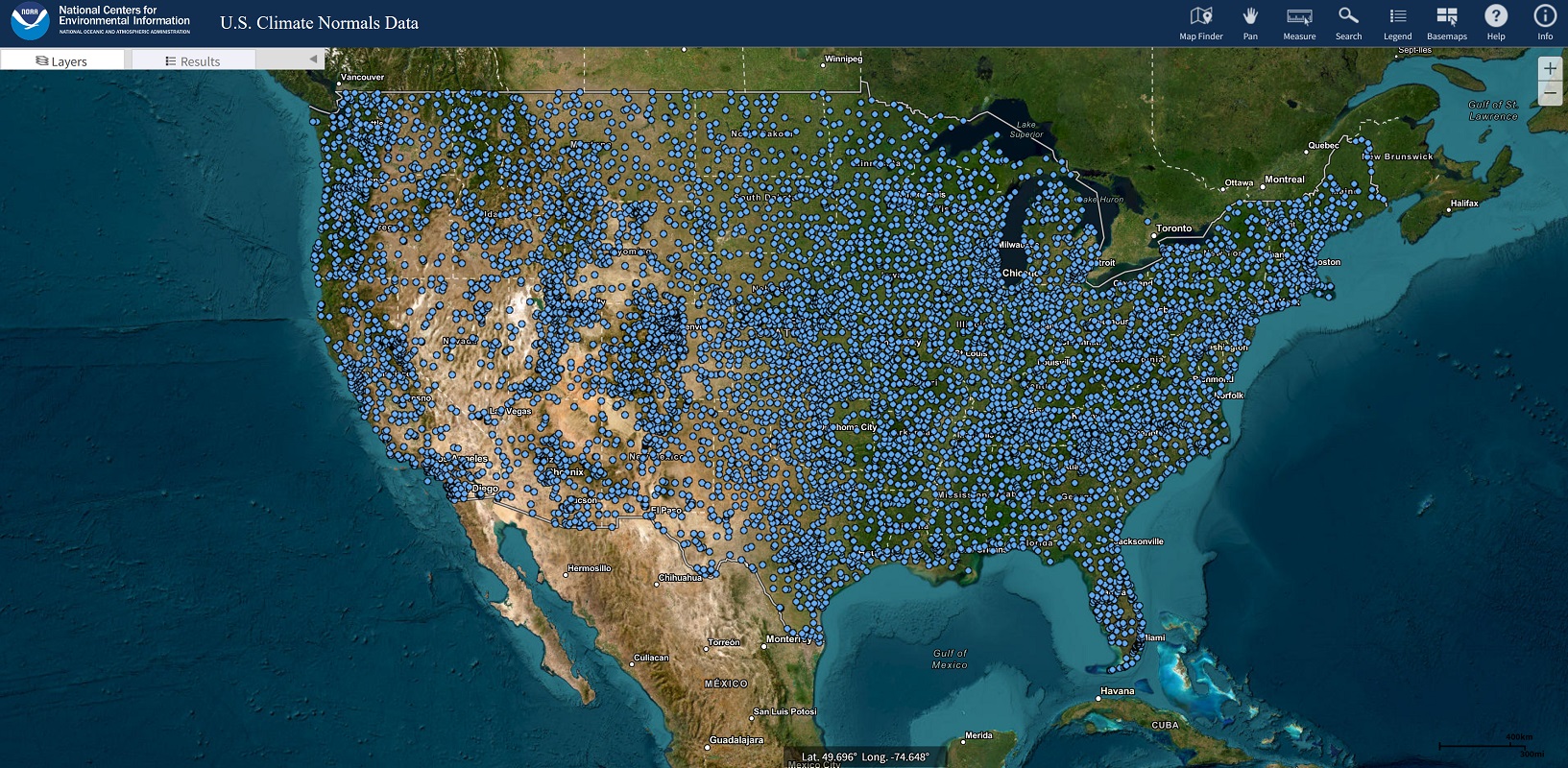
So, what exactly are NOAA maps? At their core, these maps are visual representations of data collected by the National Oceanic and Atmospheric Administration (NOAA), a government agency dedicated to studying and protecting our environment. The data collected by NOAA comes from a variety of sources, including satellites, radar systems, buoys, weather stations, and aircraft. This data is then processed and analyzed to create the maps that we see.
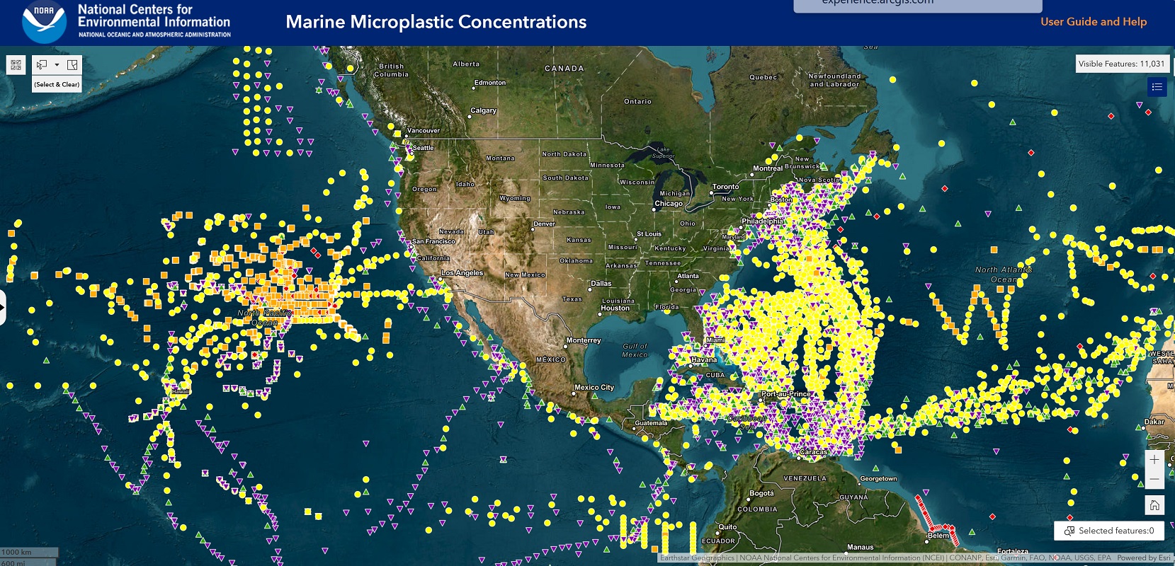
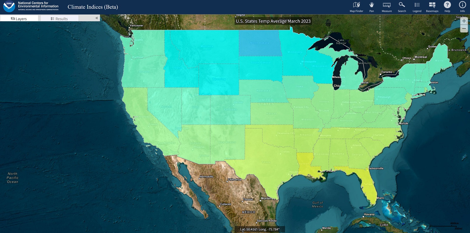
One of the most important uses of NOAA maps is for weather forecasting. Meteorologists use these maps to predict weather patterns, track storms, and issue warnings for severe weather events. For example, a map of hurricane activity can help forecasters predict the path and intensity of a hurricane, allowing them to issue timely warnings to people in its path.
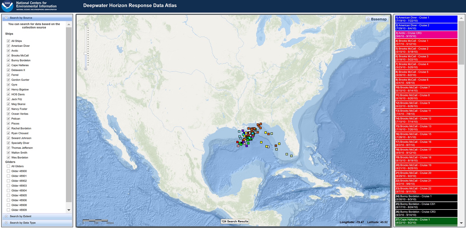
Emergency managers and responders also rely on NOAA maps to monitor weather and environmental conditions that could pose a threat to public safety. This information can be used to prepare for and respond to natural disasters such as hurricanes, tornadoes, and wildfires. By understanding the risks associated with different weather conditions, emergency managers can develop effective plans to protect people and property.
NOAA maps are also used by scientists and researchers to study climate patterns, ocean currents, and other environmental phenomena. This information can be used to understand the impacts of climate change and to develop strategies for mitigating its effects. For example, a map of sea surface temperatures can help scientists identify areas where coral reefs may be at risk of bleaching due to warmer waters.
Government agencies and policymakers also rely on NOAA maps to make decisions related to public safety, resource management, and environmental policy. This information can be used to inform decisions related to infrastructure development, natural resource management, and disaster response. By using NOAA maps, policymakers can make more informed decisions that help protect people and the environment.
Finally, everyday people can access NOAA maps through various online platforms, such as the NOAA website or mobile applications. These maps can be used to plan outdoor activities, assess flood risk, and make other important decisions related to weather and environmental conditions.
To learn more in-depth about 2D and 3D NOAA maps, view NOAA Maps.
In conclusion, NOAA maps are a critical tool for understanding and responding to the ever-changing conditions of our planet. By providing accurate, up-to-date information about weather and environmental conditions, these maps help us stay safe, protect our natural resources, and build a more sustainable future. Whether you’re a meteorologist, emergency manager, scientist, policymaker, or just someone who wants to stay informed about the world around you, NOAA maps are an essential resource that you can’t afford to ignore.
Contact us today to learn more about our services and how we can help you achieve your goals.