

Elevation maps have always been an incredible tool for exploring the world around us. With just a glance, we can see the height and depth of mountain ranges, the shape of coastlines, and the winding paths of rivers and valleys. But what if I told you that we can take these maps to a whole new level by creating 3D elevation maps that focus not just on color, but on color at different heights?
By using a combination of colors and 3D rendering techniques, we can create maps that are not only beautiful but also highly informative. From the snow-capped peaks of the Himalayas to the lush forests of the Amazon, these 3D elevation maps allow us to see the world in a whole new way.
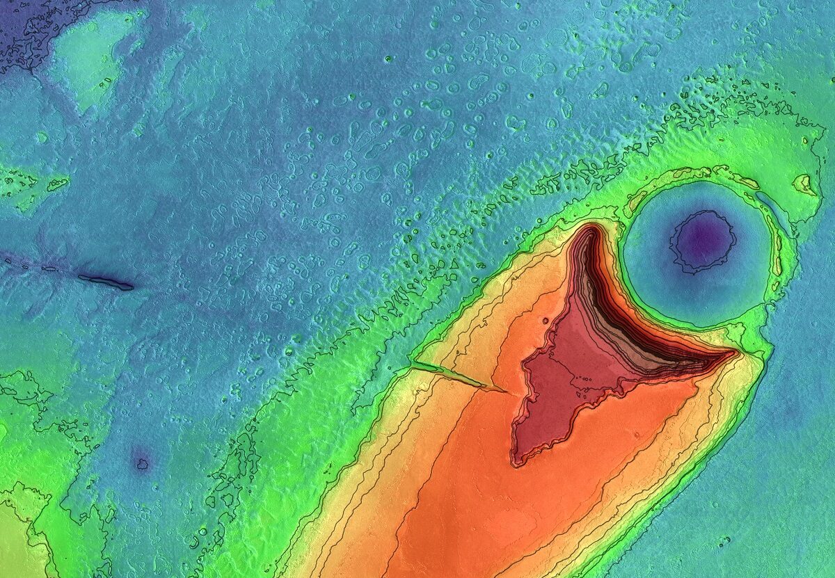
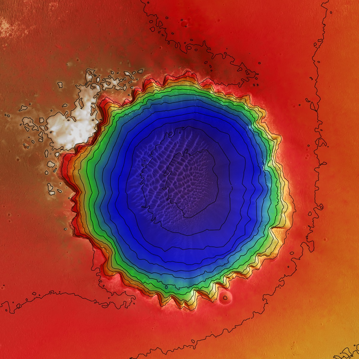
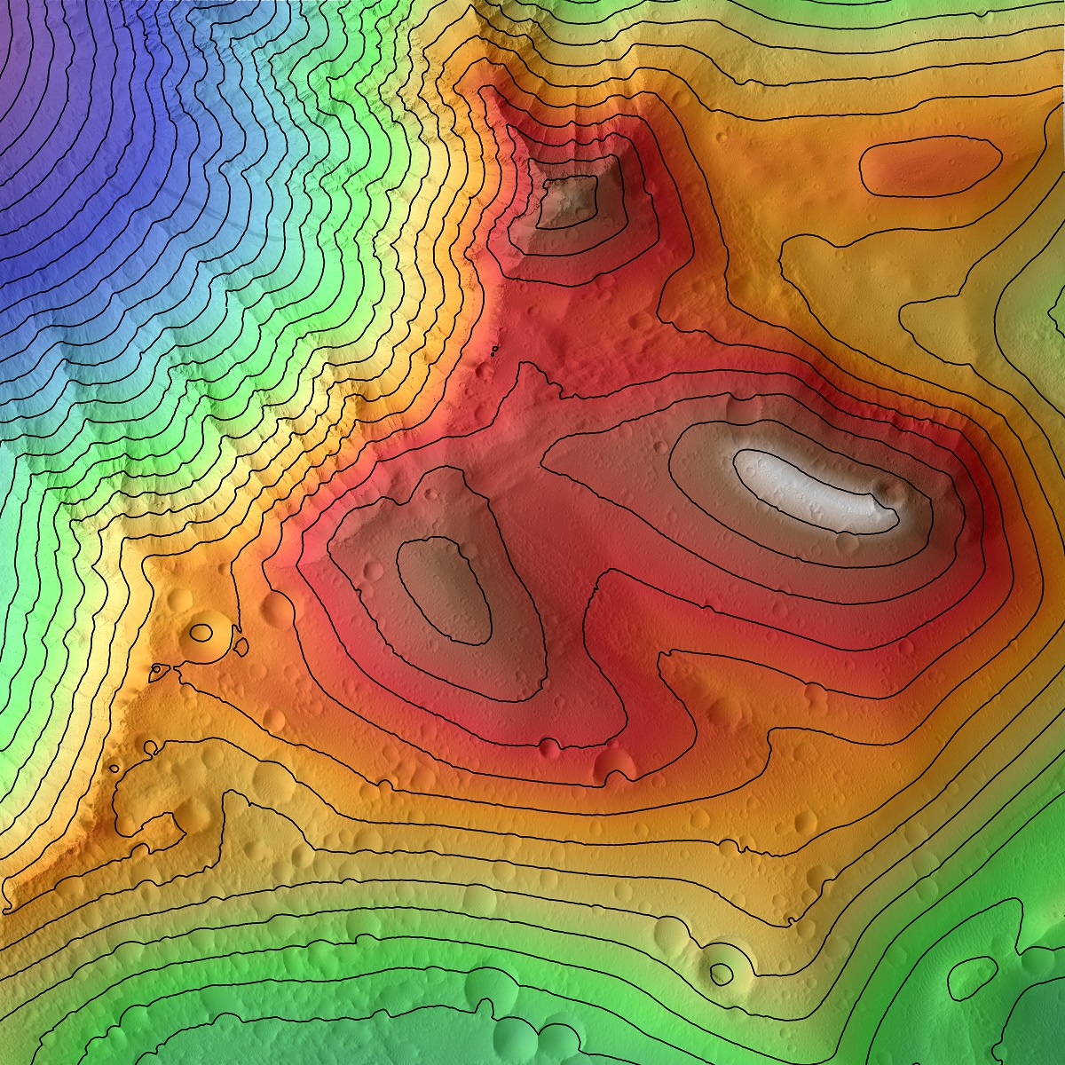
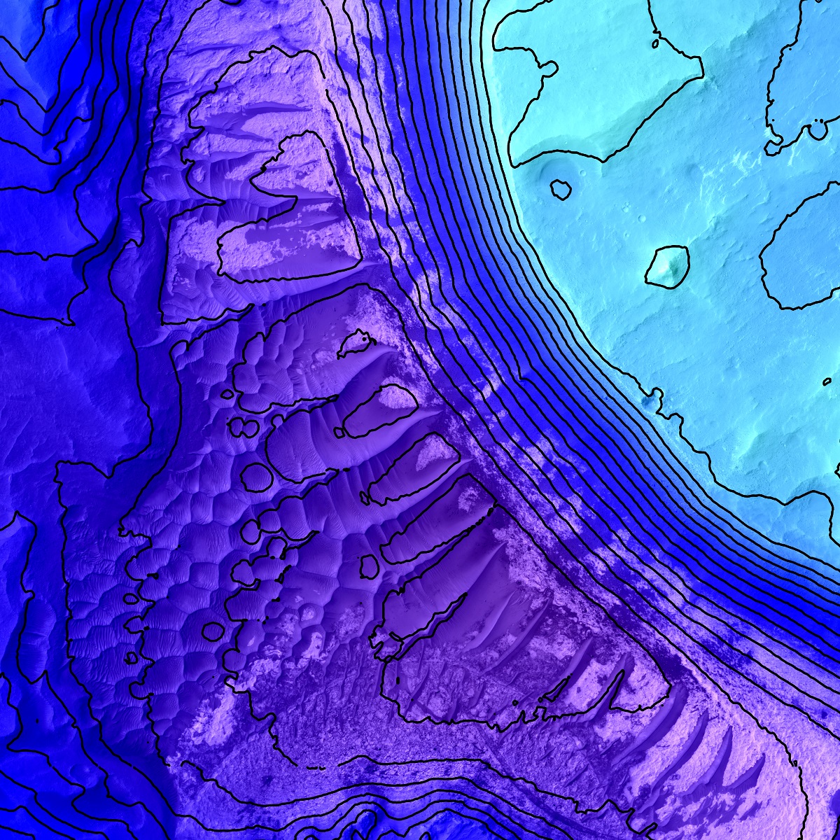
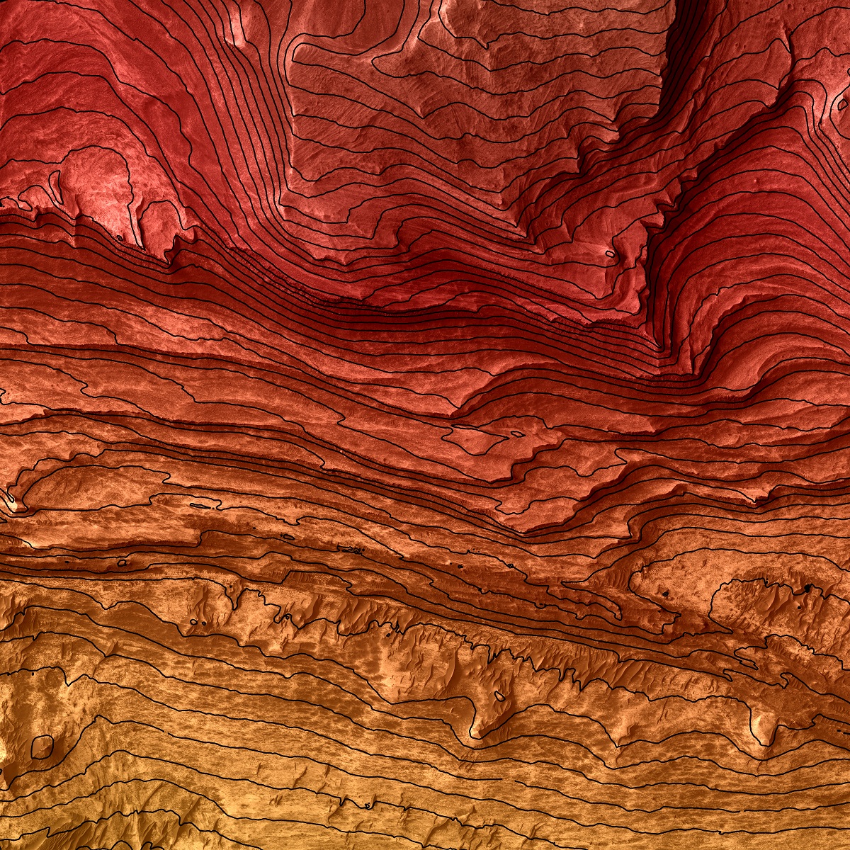
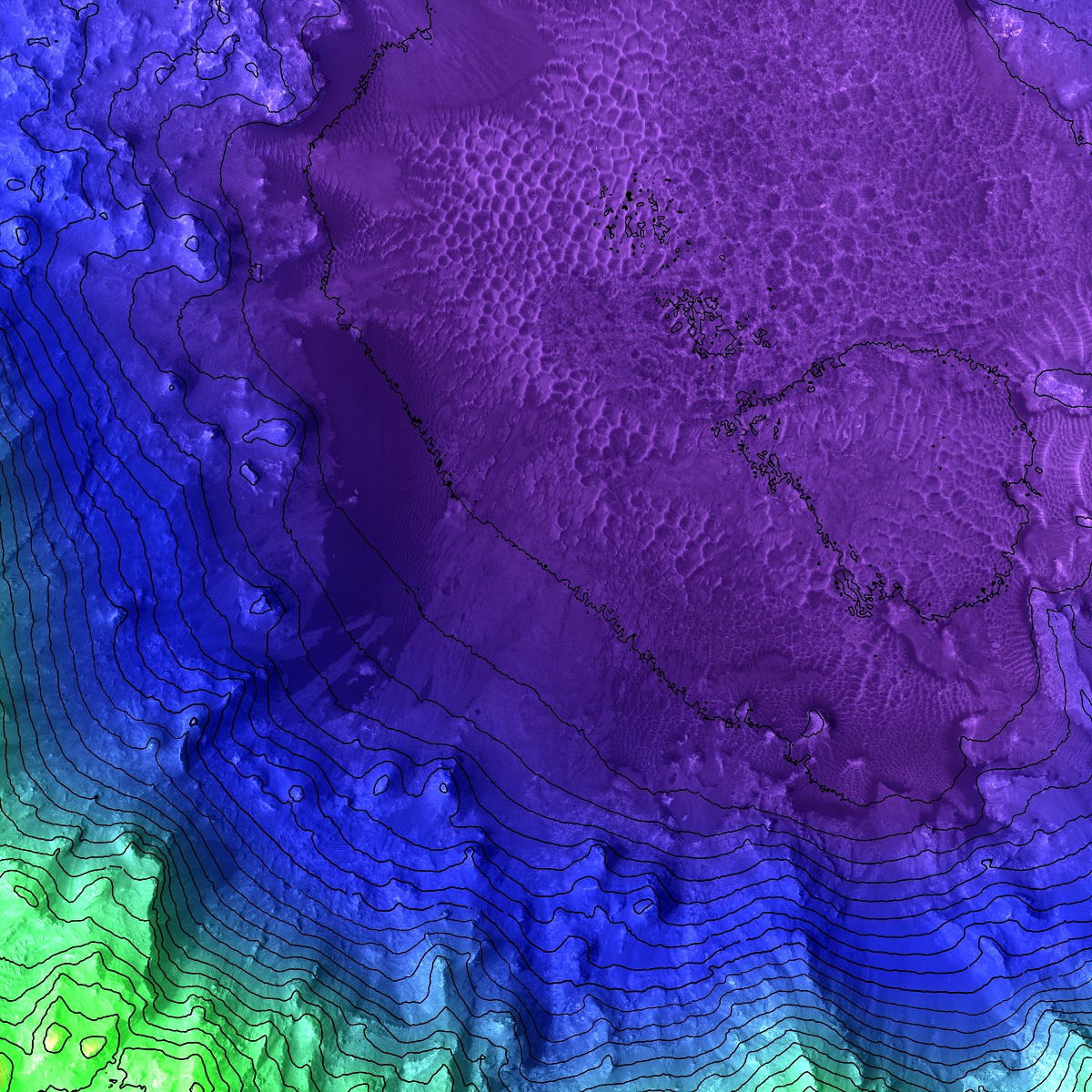
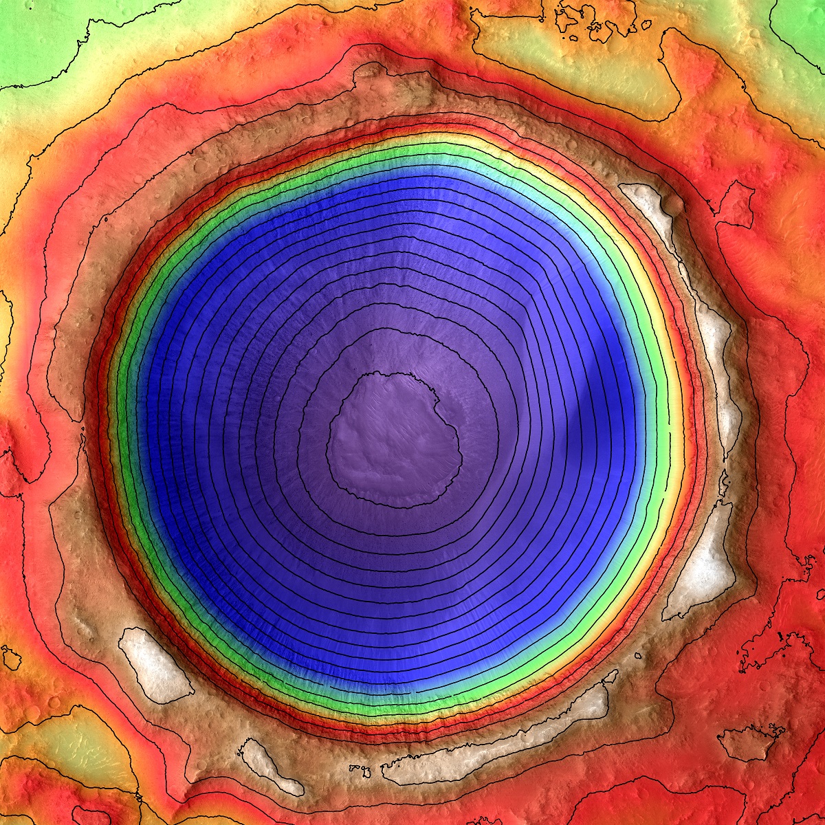
So how do 3D elevation maps work? Instead of simply showing elevations on a 2D map, we add the third dimension by creating a 3D model of the terrain. This allows us to see the elevation changes in a much more dynamic way. By using a variety of colors to represent different elevations, we can create maps that are both informative and visually stunning.
Let’s start by looking at the highest elevations, such as the peaks of the Rocky Mountains in the United States. Here, we might use bright, vibrant colors like red and orange to represent the highest elevations, gradually transitioning to cooler colors like blue and green as we move down the slopes. This creates a sense of drama and excitement, emphasizing the rugged terrain and the thrill of climbing to the top.

Moving to a lower altitude, we might turn our attention to the Amazon Rainforest. Here, we could use shades of green and brown to represent the forest canopy and the lower elevations, with lighter greens and yellows for the river valleys and floodplains. This creates a sense of depth and dimension, allowing us to see the forest from both above and below.
Continuing down in altitude, we might focus on the Grand Canyon in the United States. Here, we could use a range of colors to represent the different layers of rock that make up the canyon walls, from deep oranges and reds to soft greys and blues. This creates a sense of texture and complexity, emphasizing the intricate geological history of this natural wonder.
But it’s not just about creating visually stunning maps. By focusing on color at different heights in 3D elevation maps, we can also gain a deeper understanding of the world around us. For example, we might use these maps to study the impact of climate change on our planet, looking at how different elevations impact temperature, precipitation, and vegetation. We can also use these maps to study geology and the natural history of our planet, gaining insight into how landscapes have evolved over time.
To learn more in-depth, view Elevation Maps.
Overall, 3D elevation maps that focus on color at different heights offer a unique and powerful tool for exploring the world around us. By combining 3D rendering techniques with a variety of colors to represent different elevations, we can create maps that are both informative and visually stunning, allowing us to see the world in a whole new way. Whether we’re studying climate patterns, geology, or simply admiring the beauty of the natural world, these maps offer a window into the complexities and wonders of our planet.
Contact us today to learn more about our services and how we can help you achieve your goals.