Tag: Maps

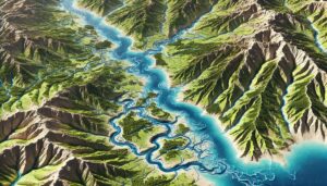
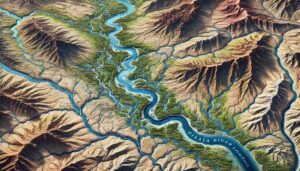
Gila River Watershed Map

Gila River Watershed Map

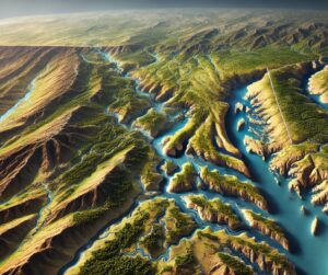
Discover the Gila River Watershed, a lifeline of the Southwest spanning deserts and mountains. Explore its rich ecosystems, hydrology, and conservation efforts through the Gila River Watershed Map. Learn how cutting-edge 3D mapping, like Green River models, revolutionizes understanding and planning for sustainable water management in this vital region.

Read More »
New York Topo Map

New York Topo Map

Discover New York’s stunning geography with topographic maps revealing the Adirondacks’ rugged peaks, the serene Finger Lakes, and the vibrant Hudson Valley. From the dynamic urban topography of NYC to the cascading rivers and trails of the Catskills, 2D and 3D maps bring the Empire State to life, offering adventurers and conservationists a deeper connection to its diverse landscapes.

Read More »
Houston Topo Map

Houston Topo Map

Discover Houston’s unique blend of urban sprawl and bayou networks with detailed topo maps. Explore how 2D and 3D maps are crafted to capture the city’s flat terrain, flood zones, and green spaces. Perfect for planners, conservationists, and adventurers, these maps unlock the dynamic geography of the Bayou City, revealing its interplay of natural and urban landscapes like never before.

Read More »
Hawaii Topo Map

Hawaii Topo Map

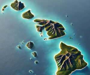
Discover Hawaii’s breathtaking terrain with topographic maps that unveil towering volcanoes, lush rainforests, dynamic coastlines, and vibrant underwater worlds. From the heights of Mauna Kea to the depths of coral reefs, 2D and 3D maps bring the Aloha State’s diverse landscapes to life, offering adventurers, conservationists, and educators a deeper connection to Hawaii’s unique geography and natural beauty.

Read More »

Potomac River Watershed Map

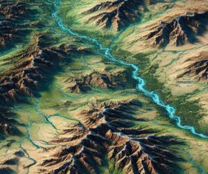
Discover the Potomac River Watershed, a vital lifeline for the Mid-Atlantic’s ecosystems and communities. Explore its diverse waterways, rich biodiversity, and cultural significance. Learn how stunning 3D maps bring its intricate geography to life while addressing challenges like pollution and climate change, preserving its beauty and importance for future generations.

Read More »
Lake Victoria Basin Watershed Map

Lake Victoria Basin Watershed Map

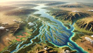
Discover the Lake Victoria Basin, a vital water system shaping East Africa. Learn how 3D mapping technologies monitor water flow, support conservation, and manage resources. Explore its diverse ecosystems, tributaries, and the challenges of climate change, while uncovering how advanced tools ensure sustainable management and protect this essential freshwater source for millions of people and wildlife.

Read More »
Europe Topo Map

Europe Raised Relief Map

Discover Europe’s landscapes like never before with a raised relief map that brings its mountains, rivers, and plains to life in 3D. Perfect for education, exploration, or decor, these tactile maps reveal the continent’s geographic and historic stories with stunning detail. Experience the artistry and precision behind their creation and gain a new perspective on Europe’s natural beauty and cultural richness.

Read More »
New Mexico Topo Map

New Mexico Topo Map

Discover New Mexico’s breathtaking geography with topographic maps showcasing the Sangre de Cristo Mountains, Chihuahuan Desert, Rio Grande Valley, and volcanic fields. From dramatic canyons to lush forests, 2D and 3D maps bring the Land of Enchantment to life, offering adventurers and conservationists a deeper connection to its diverse landscapes and natural beauty.

Read More »
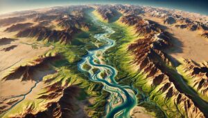
Syr Darya Watershed Map

Syr Darya Watershed Map

Explore the Syr Darya River Watershed, a crucial water system for Central Asia. Discover its dynamic geography, vital ecosystems, and how cutting-edge 3D mapping technology is transforming sustainable management and conservation efforts, ensuring a balanced future for this essential river basin.

Read More »
Georgia Topo Map

Georgia Topo Map

Discover Georgia’s stunning landscapes with topographic maps that reveal the towering Appalachian peaks, rolling Piedmont hills, and vast Coastal Plain. From exploring the Okefenokee Swamp to navigating rivers and valleys, 2D and 3D maps bring the Peach State’s diverse terrain to life, offering adventurers and educators an immersive way to connect with Georgia’s natural beauty and geographical wonders.

Read More »
Tigris-Euphrates Watershed Map

Tigris-Euphrates Watershed Map

Explore the Tigris-Euphrates Watershed, a region rich in history, ecology, and vital resources. Learn how 3D mapping technologies help monitor water flow, predict floods, and support conservation efforts. Discover the river systems that shaped ancient civilizations and continue to sustain millions, while understanding how advanced tools ensure sustainable management amidst climate challenges and geopolitical complexities.

Read More »
Dominica Watershed Maps

Dominica Watershed Maps

Dominica’s watershed maps are vital for managing river systems, predicting floods, and ensuring sustainable water use. These maps help allocate water for agriculture, industry, and communities while addressing climate change challenges. By monitoring river flow, groundwater levels, and water quality, they support flood prevention, efficient water distribution, and ecosystem protection, ensuring that Dominica’s water resources are preserved for future generations.

Read More »
Utah Topo Map

Utah Topo Map

Discover Utah’s breathtaking landscapes with topographic maps revealing the soaring Wasatch Range, iconic red rock canyons, and vast desert basins. From the rugged Uinta Mountains to the striking Colorado Plateau, 2D and 3D maps bring the Beehive State’s natural wonders to life, offering adventurers and conservationists a deeper connection to its diverse and stunning terrain.

Read More »
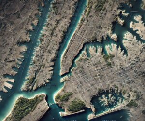
Manhattan Topo Map

Manhattan Topo Map

Discover Manhattan’s iconic blend of urban marvels and natural features with detailed topo maps. Explore how 2D and 3D maps are crafted to capture every contour, from Central Park’s green expanses to the towering skyline of Midtown. Perfect for planners, tourists, and researchers, these maps reveal the intricate geography of one of the world’s most dynamic cities in stunning detail.

Read More »
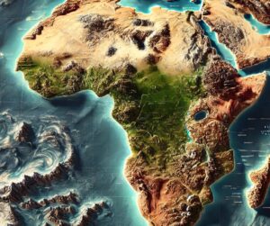
Africa Topo Map

Africa Topo Map

Discover Africa’s stunning terrain with topographic maps showcasing Mount Kilimanjaro, the Sahara Desert, Great Rift Valley, and Congo Basin. From arid deserts to lush rainforests, 2D and 3D maps bring the continent’s diverse landscapes to life, guiding adventurers, conservationists, and educators through its breathtaking natural wonders.

Read More »
Wabash River Watershed Map

Wabash River Watershed Map

Dive into the Wabash River Watershed’s vast ecosystem with insights from cutting-edge mapping technology. Discover how 3D maps, like those of the Green River Watershed, bring terrain and water dynamics to life, aiding conservation, planning, and education. Explore the interplay of nature and innovation shaping the future of environmental stewardship!

Read More »

Get a Free Quote