Tag: Maps

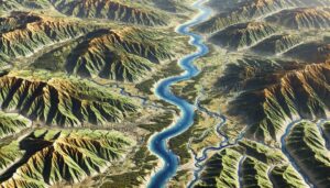
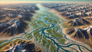
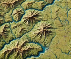
Penobscot River Watershed Map

Penobscot River Watershed Map

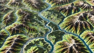
Discover the Penobscot River Watershed Map, a gateway to Maine’s largest river system. Explore its diverse ecosystems, seasonal dynamics, and human connections brought to life through cutting-edge 3D mapping technology. Dive into how this innovative tool guides conservation, flood management, and sustainable development in one of the Northeast’s most vital waterways.
Read More »
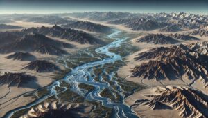
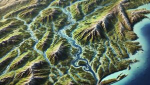
Oklahoma Topo Map

Oklahoma Topo Map

Discover Oklahoma’s dynamic landscapes with topographic maps showcasing the sweeping Great Plains, rugged Wichita Mountains, and lush Cross Timbers. From rolling prairies to fertile river valleys, 2D and 3D maps bring the Sooner State to life, offering adventurers and conservationists a deeper connection to its natural beauty and diverse geography.

Read More »
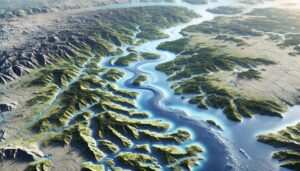
Chehalis River Watershed Map

Chehalis River Watershed Map

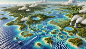
Discover the Chehalis River Watershed Map, a vibrant gateway to Washington’s ecosystems and hydrology. Explore its diverse landscapes, seasonal dynamics, and human connections brought to life through cutting-edge 3D mapping technology. Dive into how this innovative tool guides conservation, flood management, and sustainable development in one of the Pacific Northwest’s most vital waterways.
Read More »
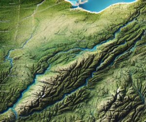
Ouachita River Watershed Map

Ouachita River Watershed Map

Discover the Ouachita River Watershed Map, a window into the heart of the South. Unveil its dynamic ecosystems, rich biodiversity, and human connections, all brought to life with cutting-edge 3D mapping technology. Dive into how this innovative tool guides conservation and resource management in one of the region’s most vital and vibrant river systems.

Read More »
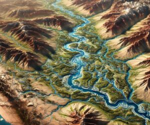
Sevier River Watershed Map

Sevier River Watershed Map

Explore the Sevier River Watershed, a vital water source in Utah. Discover how 3D mapping technology enhances water management, conservation, and flood prediction. Learn about the river’s ecological importance and the challenges it faces from climate change, development, and water scarcity.

Read More »
Dnieper River Watershed Map

Dnieper River Watershed Map

Explore the Dnieper River Watershed, a vital water system in Eastern Europe. Learn how advanced 3D mapping technologies track water flow, support conservation, and guide sustainable management. Discover the river’s ecosystems, seasonal changes, and the challenges of pollution, over-extraction, and climate change, all while preserving this essential waterway for the future of its people and biodiversity.

Read More »
Ohio Topo Map

Ohio Topo Map

Discover Ohio’s dynamic landscapes with topographic maps revealing Lake Erie’s shores, the rolling Appalachian Plateau, and the fertile Till Plains. From historic river valleys to urban hubs, 2D and 3D maps bring the Buckeye State to life, offering adventurers and conservationists a deeper connection to its rich geography and natural beauty.

Read More »
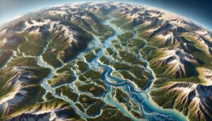
Tanana River Watershed Map

Tanana River Watershed Map

Discover the Tanana River Watershed Map, a gateway to Alaska’s dynamic waterway. Unveil its vibrant ecosystems, seasonal shifts, and human connections, brought to life with groundbreaking 3D mapping technology. Dive into how this powerful tool guides conservation and resource management in one of the world’s most rugged and awe-inspiring landscapes.

Read More »
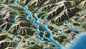
Kennebec River Watershed Map

Kennebec River Watershed Map

Dive into the Kennebec River Watershed Map, a gateway to understanding Maine’s natural lifeline. Explore its vibrant ecosystems, vital hydrology, and human connections, all brought to life through cutting-edge 3D mapping technology. Discover how this innovative tool shapes conservation and sustainable management, ensuring the future of one of the Northeast’s most critical and dynamic river systems.

Read More »
California Topo Map

California Raised Relief Map

Dive into the stunning world of California’s raised relief maps, where geography comes alive in 3D. Feel the peaks, trace the valleys, and explore iconic landscapes in a tangible, artistic format. From educational tools to decorative masterpieces, these maps blend science and art, offering a captivating way to experience the Golden State’s diverse terrain. Discover the craftsmanship behind these immersive creations!

Read More »

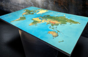
Raised Relief Map of the World

Experience Earth’s landscapes in 3D with a raised relief map of the world. Explore towering mountains, vast plains, and deep oceans in stunning detail. Perfect for education, decor, or exploration, these tactile maps bring geography to life while showcasing the artistry behind their creation. Discover a unique way to connect with the planet’s natural beauty and diverse terrains.

Read More »
Custom 60-inch by 38-inch 3D map of the United States featuring custom graphics that highlight major highways.

Raised Relief Map of the United States

Explore the United States in stunning 3D with a raised relief map that brings its mountains, rivers, and plains to life. Perfect for education, adventure planning, or decor, these tactile maps reveal the country’s diverse landscapes while showcasing the artistry behind their creation. Discover a unique way to connect with America’s natural beauty and geographic history in a tangible, immersive format.

Read More »
Great Basin Watershed Map

Great Basin Watershed Map

Discover the Great Basin Watershed, a unique water system in the American West. Learn how 3D mapping technology enhances water management, flood prediction, and conservation efforts. Explore its ecological importance and the challenges it faces from climate change, water scarcity, and development.

Read More »
Tuvalu Watershed Maps

Tuvalu Watershed Maps

Tuvalu’s watersheds, including its groundwater and rainwater harvesting systems, are essential for freshwater supply. Learn how modern technologies like 3D mapping, GIS, and remote sensing help manage these systems, ensuring sustainable water use and addressing challenges like water scarcity, climate change, and rising sea levels.

Read More »
Arizona Topo Map

Arizona Raised Relief Map

Experience Arizona’s breathtaking landscapes with a raised relief map! From the Grand Canyon’s depths to the Sonoran Desert’s vastness, these 3D maps bring every peak, valley, and mesa to life. Perfect for adventurers, educators, and decor lovers, they combine stunning detail with tactile exploration. Discover Arizona’s diverse terrain in a whole new way—it’s geography you can see and feel!

Read More »

Get a Free Quote