Tag: Maps

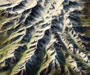
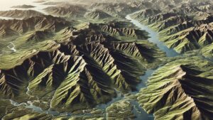
Ukraine Topo Map

Ukraine Topo Map

Dive into the world of Ukraine’s topo maps, where cutting-edge technology meets artistic precision. From the soaring Carpathians to the vast Dnieper, these maps unveil the country’s breathtaking landscapes in stunning detail. Explore how 2D and 3D maps are crafted, their uses in adventure, conservation, and history, and the vital role they play in showcasing Ukraine’s diverse geography.
Read More »
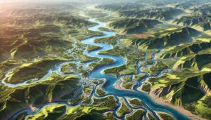
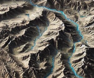
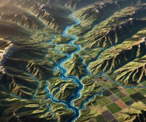
Yakima River Watershed Map

Yakima River Watershed Map

Discover the Yakima River Watershed, a vital Pacific Northwest resource sustaining ecosystems, agriculture, and communities. Explore its intricate waterways, rich biodiversity, and cultural significance. Learn how stunning 3D maps bring its geography to life, addressing challenges like climate change and habitat loss while preserving its natural beauty and resources for future generations.

Read More »
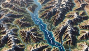
Massachusetts Topo Map

Massachusetts Topo Map

Discover Massachusetts’ stunning landscapes with topographic maps that showcase the rugged Berkshires, rolling Connecticut River Valley, and iconic Cape Cod coastline. From Boston’s urban topography to tranquil river systems, 2D and 3D maps bring the Bay State’s diverse terrain to life, offering adventurers and conservationists a deeper connection to its natural beauty and rich geography.

Read More »
Shire River Watershed Map

Shire River Watershed Map

Explore the Shire River Watershed, a vital water system in Southern Africa. Discover its diverse geography, rich ecosystems, and how advanced 3D mapping technology is transforming sustainable management and conservation efforts, ensuring the river’s health and resources for future generations.

Read More »
Zambezi River Watershed Map

Zambezi River Watershed Map

Explore the Zambezi River Watershed, one of Southern Africa’s most iconic waterways, through advanced 3D mapping technologies. Discover its diverse ecosystems, seasonal dynamics, and how this vital river supports agriculture, industry, and wildlife. Learn how modern maps help guide sustainable water management, conservation efforts, and flood prediction, ensuring the river’s resilience for future generations.

Read More »
Pennsylvania Topo Map

Pennsylvania Topo Map

Discover Pennsylvania’s stunning geography with topographic maps revealing the rugged Appalachians, fertile Piedmont, and serene Lake Erie shores. From dramatic gorges to vibrant river valleys, 2D and 3D maps bring the Keystone State to life, offering adventurers and conservationists a deeper connection to its diverse landscapes and natural beauty.

Read More »
Lake Tanganyika Basin Watershed Map

Lake Tanganyika Basin Watershed Map

Discover the Lake Tanganyika Basin Watershed, a vital ecosystem teeming with unique biodiversity. Learn about its complex geography, the role of cutting-edge 3D mapping, and how advanced technologies are shaping sustainable management of this essential freshwater resource, supporting millions of people and species across East Africa.

Read More »
Alaska Topo Map

Alaska Topo Map

Discover Alaska’s majestic landscapes through detailed topographic maps that unveil towering peaks, sprawling glaciers, vast tundra, and rugged coastlines. Whether navigating Denali’s heights, exploring icy rivers, or mapping the Arctic tundra, 2D and 3D topo maps bring Alaska’s vast wilderness to life, offering a unique and immersive way to experience the beauty and complexity of America’s Last Frontier.

Read More »
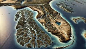
Florida Watershed Maps

Florida Watershed Maps

Explore Florida’s dynamic watersheds, where rivers, wetlands, and ecosystems converge to sustain life. Discover how 3D mapping technology is revolutionizing water management, offering crucial insights into water flow, conservation, and climate change adaptation. Learn how these maps ensure sustainable solutions for agriculture, urban growth, and ecosystem protection in the Sunshine State.

Read More »
Lake Baikal Basin Watershed Map

Lake Baikal Basin Watershed Map

Explore the Lake Baikal Basin Watershed, a vital water system in Siberia. Discover its unique geography, rich ecosystems, and how advanced 3D mapping technology is revolutionizing sustainable management, conservation, and protection efforts, ensuring the health of this globally significant watershed for future generations.

Read More »
Danube River Watershed Map

Danube River Watershed Map

Dive into the Danube River Watershed, a vital lifeline for Central and Eastern Europe, through advanced 3D mapping technologies. Discover how this river sustains diverse ecosystems, agriculture, and transportation. Learn how modern maps help guide water management, conservation efforts, and predict flood risks, ensuring the river’s health and resilience for future generations.

Read More »
Delaware Watershed Maps

Delaware Watershed Maps

Discover the intricate watersheds of Delaware, where rivers, streams, and wetlands sustain diverse ecosystems. Explore how 3D mapping technology is transforming water management, providing insights into flow patterns, conservation, and climate change adaptation. Learn how these maps help ensure sustainable solutions for agriculture, urban growth, and ecosystem protection in the First State.

Read More »
Maryland Topo Map

Maryland Topo Map

Discover Maryland’s diverse landscapes with topographic maps showcasing rugged Appalachian peaks, rolling Piedmont hills, and the intricate Chesapeake Bay. From sandy Atlantic shores to fertile river valleys, 2D and 3D maps bring the Old Line State’s terrain to life, offering adventurers and conservationists a deeper connection to its natural beauty and unique geography.

Read More »
Connecticut River Watershed Map

Connecticut River Watershed Map

Discover the Connecticut River Watershed, New England’s largest, sustaining ecosystems, agriculture, and communities. Explore its intricate waterways, rich biodiversity, and cultural significance. Learn how stunning 3D maps bring its geography to life, addressing challenges like climate change and habitat loss while preserving its natural beauty and resources for future generations.

Read More »
Oregon Topo Map

Oregon Topo Map

Discover Oregon’s diverse geography with topographic maps showcasing the towering Cascades, scenic coast, fertile valleys, and rugged high desert. From the Columbia River Gorge to Crater Lake, 2D and 3D maps bring the Beaver State’s landscapes to life, offering adventurers and conservationists a deeper connection to its breathtaking terrain and natural wonders.

Read More »
Aridondak Mountains Raised Relief Map 2

Adirondack Mountains Raised Relief Map

Experience the Adirondacks like never before with raised relief maps that bring the region’s peaks, valleys, and lakes to life. Perfect for adventurers, educators, and nature lovers, these 3D masterpieces offer a tactile exploration of New York’s rugged wilderness. Discover the artistry and precision behind their creation and celebrate the timeless beauty of one of America’s most iconic natural landscapes.

Read More »

Get a Free Quote