Tag: Maps

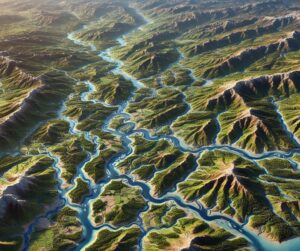
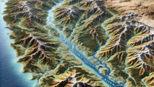
Deschutes River Watershed Map

Deschutes River Watershed Map

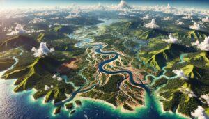
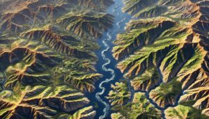
Discover the Deschutes River Watershed Map, a journey through Oregon’s heartland. Unveil its vibrant ecosystems, seasonal shifts, and human connections, all brought to life with cutting-edge 3D mapping technology. Explore how this innovative tool guides conservation, sustainable water management, and the preservation of one of Oregon’s most iconic and vital river systems.
Read More »
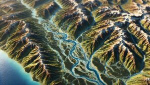
Douro River Watershed Map

Douro River Watershed Map

Discover the Douro River Watershed, a vital resource in Spain and Portugal. Explore its diverse geography, rich ecosystems, and how advanced 3D mapping technology is transforming sustainable management, ensuring the river’s health and resources for future generations.

Read More »
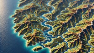
Jerusalem Topo Map

Jerusalem Topo Map

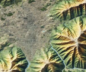
Discover Jerusalem’s sacred hills, valleys, and landmarks with topo maps that blend precision and artistry. Explore how 2D and 3D maps are crafted to capture the city’s intricate terrain, revealing its historical, cultural, and spiritual significance. Perfect for scholars, tourists, and planners, these maps provide a unique window into the timeless beauty and complexity of the Holy City.

Read More »
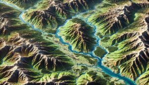
Pee Dee River Watershed Map

Pee Dee River Watershed Map

Discover the Pee Dee River Watershed, a vital network sustaining the Carolinas’ ecosystems, culture, and economy. Explore its intricate waterways, biodiversity, and challenges like climate change and pollution. Learn how stunning 3D maps bring its geography to life, highlighting its critical role in shaping the region’s future while preserving its natural beauty and resources for generations to come.

Read More »
Tennessee Topo Map

Tennessee Topo Map

Discover Tennessee’s breathtaking geography with topographic maps showcasing the Smoky Mountains, rolling Cumberland Plateau, and winding Tennessee River. From rugged peaks to fertile floodplains, 2D and 3D maps bring the Volunteer State to life, offering adventurers and conservationists a deeper connection to its diverse and stunning landscapes.

Read More »

Big Horn River Watershed Map

Discover the Big Horn River Watershed Map, a gateway to the West’s iconic landscapes. Unveil its vibrant ecosystems, dynamic hydrology, and human connections brought to life with cutting-edge 3D mapping technology. Explore how this innovative tool guides conservation, sustainable management, and resilience in one of the region’s most vital and diverse watersheds.

Read More »

Alabama Topo Map

Discover Alabama’s breathtaking landscapes through detailed topographic maps that reveal the Appalachian peaks, fertile valleys, and Gulf Coast plains. Whether you’re hiking rugged trails, exploring rivers, or studying the Black Belt’s rolling hills, these 2D and 3D maps bring Alabama’s diverse terrain to life, offering a new way to experience the state’s natural beauty and topographical wonders.

Read More »
Amazon-Orinoco Transition Watershed Map

Amazon-Orinoco Transition Watershed Map

Discover the Amazon-Orinoco Transition Watershed, where two mighty rivers meet. Learn how 3D mapping technologies track water flow, support conservation, and guide sustainable resource management. Explore the region’s rich biodiversity, seasonal dynamics, and the crucial role of this watershed in maintaining ecosystems and livelihoods across South America.

Read More »
Mississippi Topo Map

Mississippi Topo Map

Discover Mississippi’s diverse landscapes with topographic maps revealing the fertile Delta, rolling Pine Belt hills, and dynamic Gulf Coast. From the rugged northeastern uplands to vast river systems, 2D and 3D maps bring the Magnolia State’s geography to life, offering adventurers and conservationists a deeper connection to its natural beauty and rich heritage.

Read More »
Ob-Irtysh Watershed Map

Ob-Irtysh Watershed Map

Dive into the Ob-Irtysh River Watershed, a vast and vital water system in Siberia and Central Asia. Discover its rich ecosystems, seasonal dynamics, and how advanced 3D mapping technologies help manage resources, predict floods, and support conservation efforts. Learn how this essential river system sustains agriculture, wildlife, and millions of people across its expansive basin.

Read More »
Japura River Watershed Map

Japura River Watershed Map

Discover the Japurá River Watershed, a vital part of the Amazon Basin. Explore its dynamic geography, rich ecosystems, and how cutting-edge 3D mapping technology is helping to manage and conserve this essential water system for a sustainable future.

Read More »
Sierra Nevada Watershed Map

Sierra Nevada Watershed Map

Discover the Sierra Nevada River Watershed Map, revealing the dynamic flow of water, diverse ecosystems, and human influence. With advanced 3D mapping technology, explore how the rivers shape the landscape, sustain wildlife, and support human communities. This essential tool guides sustainable water management and conservation, ensuring the health and resilience of the watershed for generations to come.

Read More »
Wisconsin Topo Map

Wyoming Topo Map

Discover Wyoming’s breathtaking terrain with topographic maps revealing the Tetons’ jagged peaks, Yellowstone’s geothermal wonders, and the serene Wind River Range. From rolling High Plains to dramatic river valleys, 2D and 3D maps bring the Cowboy State to life, offering adventurers and conservationists an in-depth connection to its diverse and captivating landscapes.

Read More »
Canada Topo Map

Canada Topo Map

Discover Canada’s breathtaking geography with topo maps that reveal the Rockies’ peaks, vast prairies, and Arctic tundra. Learn how these maps are crafted in 2D and 3D, blending technology and artistry to capture every detail. Perfect for adventurers, researchers, and conservationists, Canada topo maps showcase the country’s diverse landscapes and cultural heritage like never before.

Read More »
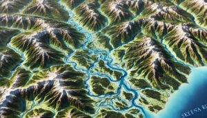
Skeena River Watershed Map

Skeena River Watershed Map

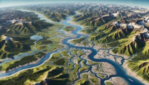
Discover the Skeena River Watershed Map, a gateway to British Columbia’s wild northwest. Unveil its vibrant ecosystems, rich Indigenous heritage, and dynamic hydrology. Experience how cutting-edge 3D mapping technology brings this vital river system to life, guiding conservation, sustainable management, and cultural preservation in one of Canada’s most iconic watersheds.

Read More »
Madeira River Watershed Map

Madeira River Watershed Map

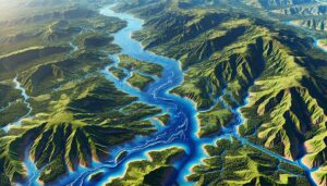
Discover the Madeira River Watershed, a crucial Amazonian water system. Explore its dynamic geography, rich biodiversity, and how cutting-edge 3D mapping technology is helping manage and conserve this vital river basin for sustainable development and ecological health.

Read More »

Get a Free Quote