Tag: Maps

Namibia Watershed Maps

Namibia Watershed Maps

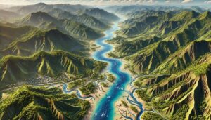
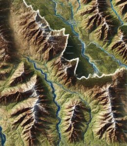
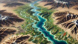
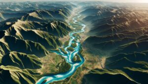
Namibia’s watersheds, including the Zambezi, Orange, and Kunene river basins, are vital for ecosystems, agriculture, and water management. This blog explores the significance of these watersheds and how modern 3D mapping technologies, like GIS and remote sensing, help manage water resources. These tools provide valuable data to address challenges such as water scarcity, climate change, and sustainable development for Namibia’s future.
Read More »
Turkey Watershed Maps

Turkey Watershed Maps

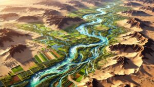
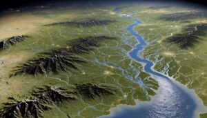
Turkey’s watersheds, including the Kızılırmak, Euphrates-Tigris, and Sakarya River Basins, are essential for agriculture and ecosystems. Learn how modern technologies like 3D mapping, GIS, and remote sensing help manage these vital systems. These technologies assist in tracking water availability, improving flood management, and addressing challenges like water scarcity, climate change, and urbanization, ensuring sustainable water use and protecting future resources.

Read More »
Romania Watershed Maps

Romania Watershed Maps

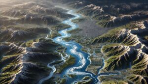
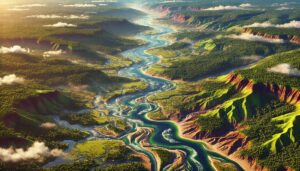
Romania’s watersheds, including the Danube and Mureș River Basins, are vital for agriculture, ecosystems, and water management. This blog explores how modern technologies like 3D mapping, GIS, and remote sensing help monitor and manage these water systems. These tools are essential for ensuring sustainable water use, addressing challenges such as water scarcity, climate change, and growing population demands, while protecting Romania’s ecosystems.

Read More »
New Hampshire Topo Map

New Hampshire Topo Map

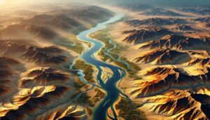
Discover New Hampshire’s stunning geography with topographic maps revealing the White Mountains’ rugged peaks, the Lakes Region’s serene waters, and the Monadnock’s rolling hills. From the Seacoast’s dynamic shores to scenic river valleys, 2D and 3D maps bring the Granite State’s landscapes to life, offering adventurers and conservationists a deeper connection to its natural beauty and diverse terrain.

Read More »
Sao Tome and Principe Watershed Maps

Sao Tome and Principe Watershed Maps

Sao Tome and Principe’s watersheds, such as the Ribeira Peixe and Ribeira Contador River Basins, are essential for agriculture and ecosystems. Learn how modern technologies like 3D mapping, GIS, and remote sensing help manage these systems, ensuring sustainable water use and addressing challenges like water scarcity, climate change, and growing population demands.

Read More »
Niger Watershed Maps

Niger Watershed Maps

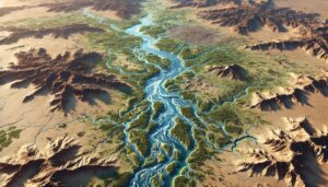
Niger’s watersheds, including the Niger River Basin, are essential for agriculture, ecosystems, and water management. This blog explores how modern technologies like 3D mapping, GIS, and remote sensing are used to monitor and manage these water systems. These tools help ensure sustainable water use, address challenges like climate change, and protect vital water resources for both human and ecological needs in Niger.

Read More »
Seychelles Watershed Maps

Seychelles Watershed Maps

Seychelles’ watersheds, including the Mont Fleuri and Port Glaud River Basins, are vital for agriculture and ecosystems. This blog explores how modern technologies like 3D mapping, GIS, and remote sensing help manage these water systems. These tools are essential for ensuring sustainable water use, addressing challenges such as climate change, water scarcity, and growing population demands, while protecting Seychelles’ valuable ecosystems and water resources.

Read More »
Monaco Watershed Maps

Monaco Watershed Maps

Monaco faces unique challenges in managing its limited water resources. This blog explores how 3D watershed maps help the country address water scarcity, pollution, and conservation efforts while ensuring sustainable water management for the future. Learn how mapping technologies help Monaco adapt to changing water demands and climate change impacts.

Read More »
Myanmar Watershed Maps

Myanmar Watershed Maps

Myanmar’s watersheds, including the Irrawaddy, Salween, and Sittaung Rivers, are crucial for the country’s ecology and agriculture. This blog highlights the importance of these basins and explores how modern technologies like 3D mapping, GIS, and remote sensing help manage water resources. By providing detailed data on water flow and land use, these tools aid in sustainable water management and ecosystem protection for the future.

Read More »
Korea Watershed Maps

Korea Watershed Maps

South Korea’s watersheds are vital for agriculture, energy, and ecosystems. This blog examines their importance, challenges, and how 3D watershed maps help manage water resources, reduce pollution, and support conservation efforts. Learn how mapping technologies help ensure the sustainability of Korea’s water systems in the face of climate change, urbanization, and growing demand.

Read More »
Mauritania Watershed Maps

Mauritania Watershed Maps

Mauritania’s watersheds play a critical role in agriculture, energy, and ecosystems. This blog explores their significance, challenges, and how 3D watershed maps help manage water resources, reduce pollution, and support conservation efforts. Learn how mapping technologies help Mauritania navigate water scarcity, climate change, and resource management challenges for a sustainable future.

Read More »
Idaho Topo Map 1

Idaho Topo Map

Discover Idaho’s breathtaking landscapes through topographic maps that reveal the jagged peaks of the Sawtooths, the wild Salmon River, and the volcanic fields of Craters of the Moon. Whether exploring with 2D contour lines or immersive 3D models, these maps bring Idaho’s diverse terrain to life, offering a gateway to adventure and a deeper understanding of the state’s natural wonders.

Read More »
Arkansas Topo Map 1

Arkansas Topo Map

Discover the breathtaking landscapes of Arkansas through detailed topographic maps that reveal the state’s towering mountains, winding rivers, and fertile plains. Whether exploring the Ozarks, navigating rivers, or studying its diverse terrain, these 2D and 3D maps bring Arkansas’ natural beauty to life, offering an immersive way to experience the state’s dramatic elevations and geological wonders.

Read More »
Arizona Topo Map

Arizona Topo Map

Uncover the breathtaking beauty of Arizona’s landscapes through topographic maps that bring the state’s diverse terrain to life. From the Grand Canyon’s majestic depths to the rugged mountain ranges and expansive deserts, these maps reveal every elevation change and natural wonder. Whether in 2D or 3D, explore Arizona like never before, and embark on an adventure across its awe-inspiring geography.

Read More »
Suriname Watershed Maps

Suriname Watershed Maps

Suriname’s watersheds, including the Suriname, Marowijne, and Tapanahoni River Basins, are vital for agriculture and ecosystems. Learn how modern technologies like 3D mapping, GIS, and remote sensing help manage these systems, ensuring sustainable water use and addressing challenges like water scarcity, climate change, and population growth.

Read More »

Get a Free Quote