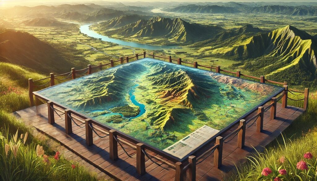
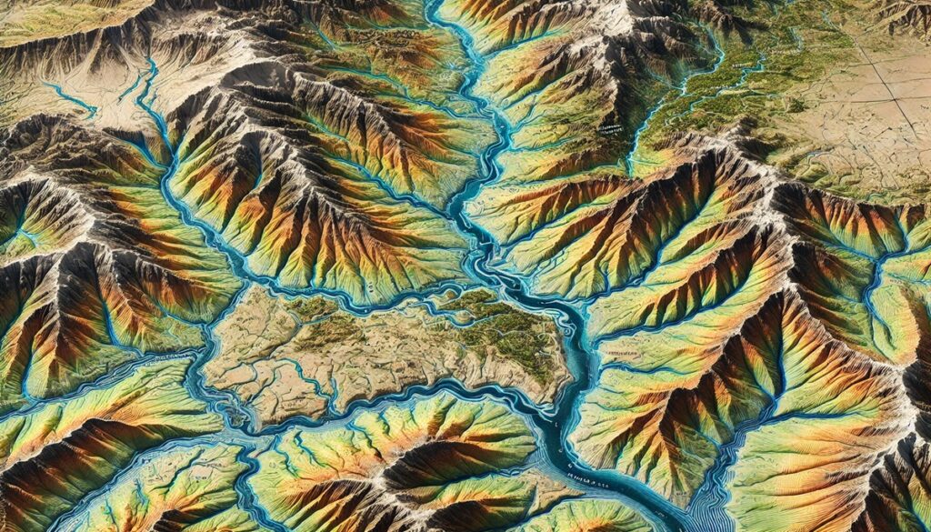
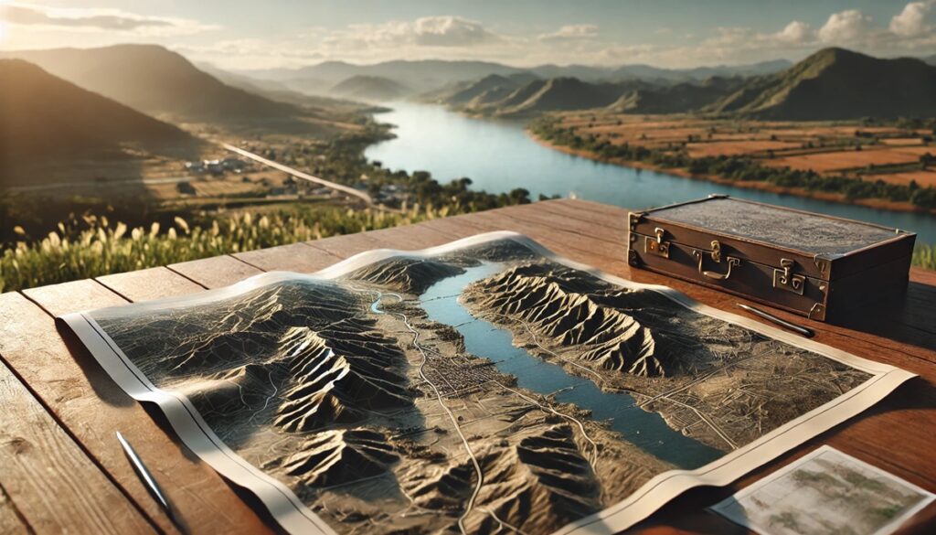
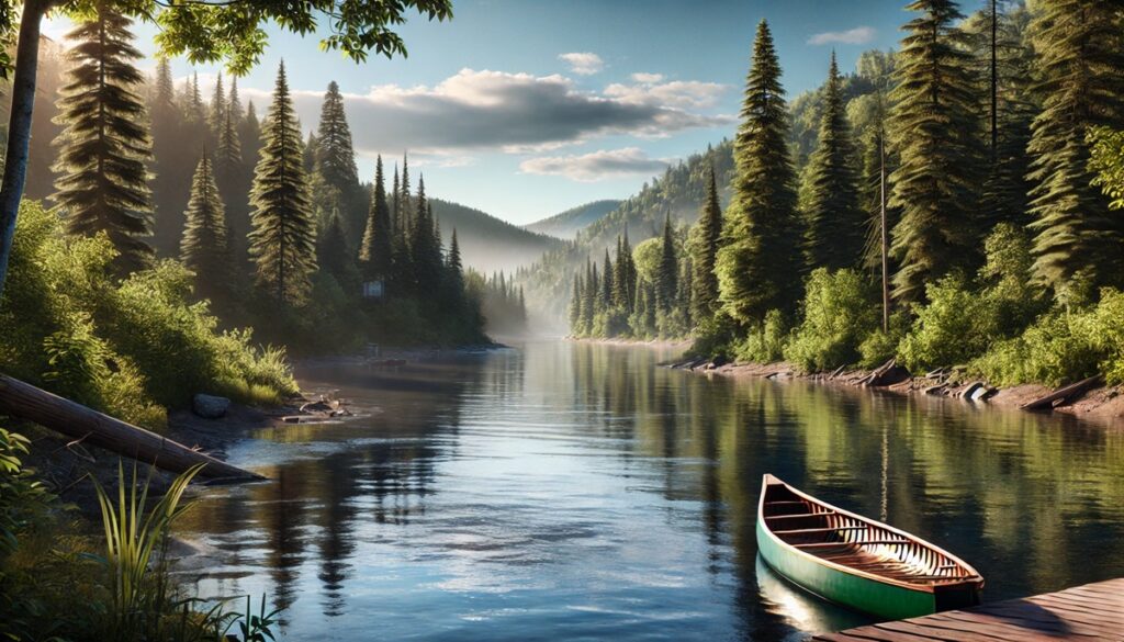
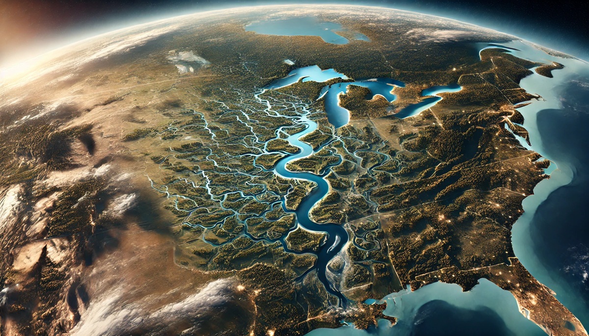
Watersheds are the veins of the Earth’s water cycle, shaping the landscape and sustaining life. These vast networks of rivers, streams, and tributaries collect, channel, and distribute water across entire regions. They are essential for agriculture, wildlife, and human settlements, as they provide fresh water for drinking, irrigation, and industrial use. The beauty and complexity of watersheds become clearer when viewed through maps, which allow us to visualize the intricate paths that water follows as it flows from high mountain peaks to lowland valleys and ultimately to oceans, lakes, or other water bodies. Maps of watersheds offer a scientific perspective, highlighting key features such as elevation contours, drainage basins, and flood zones. They serve as tools for managing water resources, mitigating flood risks, and conserving ecosystems. For researchers, engineers, and conservationists, these maps are indispensable for understanding the flow of water and predicting its behavior in response to natural events like rainfall, drought, or climate change. Beyond their practical uses, watershed maps also tell a story of human connection to the land. They reveal how civilizations have adapted to water sources, where cities were built along rivers, and how agriculture has been shaped by the need for irrigation. The historical layers embedded in these maps reflect the changing relationships between people and water—whether for trade, settlement, or environmental preservation. In the digital age, maps of watersheds have evolved, becoming more detailed and dynamic with the integration of satellite imagery, GIS data, and real-time water flow monitoring. These advances have enabled better decision-making in managing water, protecting biodiversity, and preparing for climate-related challenges. Ultimately, maps of watersheds help us better understand our environment, guiding our efforts to preserve this vital resource for future generations.

Watersheds are essential features in the natural landscape, providing drainage, supporting ecosystems, and serving as crucial sources of water for human and environmental needs. The United States, with its vast and varied geography, is home to some of the world’s largest and most significant watersheds. These watersheds not only support local ecosystems but also sustain agriculture, urban areas, and wildlife habitats. The following is a list of the top 10 largest watersheds in the United States, ranked by size and environmental importance. From the mighty Mississippi to the Columbia River, each of these watersheds has a unique history and vital role in shaping the geography and ecology of the nation.
#1: The Mississippi-Missouri River Watershed, 1,150,000 Square Miles
The Mississippi-Missouri River Watershed is the largest in the United States, spanning approximately 1,150,000 square miles. This vast watershed covers much of the central United States, draining water from parts of 31 U.S. states and two Canadian provinces. The Mississippi River, one of the longest and most iconic rivers in North America, serves as the primary river in this system, along with its major tributary, the Missouri River. The watershed is a vital source of water for millions of people, providing drinking water, irrigation for agriculture, and navigation for shipping and transportation. The Mississippi-Missouri watershed also plays a significant role in the ecosystem, supporting diverse habitats such as wetlands, floodplains, and riparian zones, which provide critical areas for wildlife. The watershed’s historical significance is equally profound; the river has served as a major trade route and helped shape the development of cities like New Orleans, St. Louis, and Minneapolis. An interesting story about this watershed is how it was central to the expansion of the United States during the 19th century. Early explorers like Lewis and Clark used the river as a route to explore and map the western territories, marking the beginning of westward expansion. Today, the Mississippi-Missouri River Watershed continues to be a cornerstone of American agriculture, transportation, and environmental conservation.
#2: The Yukon River Watershed, 330,000 Square Miles
The Yukon River Watershed covers approximately 330,000 square miles, spanning the U.S. state of Alaska and parts of Canada. The Yukon River, one of the longest rivers in North America, flows through remote and rugged terrains, including boreal forests and tundra. The watershed has historically been a key area for transportation and communication, particularly during the Klondike Gold Rush in the late 19th century when thousands of prospectors and settlers traveled along its banks in search of fortune. The river was the primary route for miners and their supplies, playing a central role in the settlement of the region. The Yukon River is also crucial for the local ecosystems, supporting salmon populations that are vital to both the wildlife and human communities in the area. Anecdotal stories from local communities often focus on the river’s importance in providing sustenance, with fishing being a primary livelihood for Indigenous peoples and settlers alike. The watershed is also a vital area for wildlife, including moose, bears, and migratory birds. Today, it remains an essential resource for communities in Alaska and Canada, though the region faces challenges from climate change, which is altering river flow patterns and impacting local habitats.
#3: The Columbia River Watershed, 258,000 Square Miles
The Columbia River Watershed spans 258,000 square miles and is one of the most significant watersheds in the Pacific Northwest. The Columbia River, which flows from the Rocky Mountains in Canada through Washington and Oregon before emptying into the Pacific Ocean, is the primary river in this system. The watershed is known for its ecological diversity, encompassing forested areas, wetlands, and the Columbia Plateau. The Columbia River has been central to the development of the region, providing water for agriculture, fisheries, and hydroelectric power. The Columbia River Basin is home to some of the most productive salmon fisheries in the world, although salmon populations have declined in recent decades due to overfishing, damming, and habitat loss. One interesting fact about the Columbia River is its use for generating hydroelectric power. The Bonneville Dam, located on the river, is one of the largest hydroelectric dams in the world, providing electricity to millions of people in the Pacific Northwest. Anecdotal stories from local communities highlight the river’s importance in shaping the region’s economy and culture. The Columbia River Watershed continues to face environmental challenges, including the effects of climate change, water management issues, and the protection of endangered species.
#4: The Ohio River Watershed, 200,000 Square Miles
The Ohio River Watershed spans about 200,000 square miles, draining water from parts of 14 U.S. states. The Ohio River is a major tributary of the Mississippi River and serves as a vital transportation route for goods and people. The watershed includes cities such as Pittsburgh, Cincinnati, and Louisville, all of which have developed around the river. Historically, the Ohio River was a crucial route for settlers moving westward and for the transportation of goods during the Industrial Revolution. Today, it continues to be essential for the region’s economy, supporting industries such as coal, manufacturing, and agriculture. The watershed also includes important tributaries such as the Allegheny and Monongahela rivers. One interesting fact about the Ohio River is that it has played a key role in American history, serving as the boundary between the free and slave states before the Civil War. The river’s location and accessibility made it a focal point for transportation, migration, and trade. The Ohio River Watershed also supports a diverse range of habitats, from forested hillsides to wetlands, and is home to numerous species of fish, birds, and other wildlife.
#5: The Rio Grande Watershed, 335,000 Square Miles
The Rio Grande Watershed covers approximately 335,000 square miles, flowing from the Rocky Mountains in Colorado and winding its way along the U.S.-Mexico border, emptying into the Gulf of Mexico. The Rio Grande is an essential source of water for the arid southwestern United States and northern Mexico, supporting agriculture, drinking water, and industrial uses in regions that would otherwise be largely desert. The river has historically served as an important trade route and a boundary between nations. The Rio Grande also plays a vital cultural role, with many communities on both sides of the border depending on it for sustenance and economic activity. One interesting aspect of the Rio Grande is how it has shaped U.S.-Mexico relations. The river marks much of the international boundary between the two countries, and its waters are the subject of numerous treaties, agreements, and disputes. Anecdotal stories from local residents highlight how the river has been a lifeline in a region known for its dry conditions. However, the Rio Grande faces significant challenges, including pollution, overuse, and the impacts of climate change, which threaten the availability of water in the future.
#6: The Snake River Watershed, 108,000 Square Miles
The Snake River Watershed spans 108,000 square miles and is one of the most important watersheds in the Pacific Northwest. The Snake River flows through Wyoming, Idaho, Oregon, and Washington, and is a major tributary of the Columbia River. The watershed includes a variety of landscapes, from mountainous regions to desert valleys. The Snake River is crucial for irrigation, as it provides water to many farms in Idaho, which is known for its potato production. The river is also vital for hydroelectric power generation, with several dams along its course. One interesting fact about the Snake River is its importance to the salmon population. Historically, the river was home to large runs of chinook salmon, but the construction of dams and water diversion for agriculture have drastically reduced these populations. Efforts to restore the salmon population, including fish ladders and the removal of certain dams, have been ongoing. Anecdotal stories from the region often highlight the river’s importance to the local economy and culture, with the river providing water, transportation, and recreational opportunities for residents.
#7: The Susquehanna River Watershed, 27,000 Square Miles
The Susquehanna River Watershed covers 27,000 square miles, draining parts of New York, Pennsylvania, and Maryland. The Susquehanna River is one of the oldest rivers in North America and is the longest river on the East Coast. The watershed includes important tributaries such as the Chemung and Juniata rivers and supports millions of people in the region. The river plays a significant role in water supply, agriculture, and recreation. The Susquehanna is also known for its natural beauty, with scenic valleys and mountains surrounding the river. One interesting aspect of the Susquehanna River is its role in the Chesapeake Bay watershed. The river is the largest tributary to the Chesapeake Bay, contributing a significant amount of fresh water and nutrients to the bay. However, the river has faced challenges from pollution, urbanization, and agricultural runoff, which have degraded water quality. Efforts to clean up the Susquehanna River are ongoing, and the river remains a focal point for conservation efforts in the region.
#8: The Platte River Watershed, 85,000 Square Miles
The Platte River Watershed spans approximately 85,000 square miles, flowing through Colorado, Wyoming, and Nebraska. The Platte River is an important tributary of the Missouri River and is a critical water source for the central Great Plains. The watershed includes key agricultural regions, and the river supports irrigation and drinking water for millions of people. The Platte River is also famous for its role in the migration of settlers moving westward during the 19th century, as the river provided a key water source along the Oregon, California, and Mormon Trails. One interesting fact about the Platte River is its importance as a stopover for migratory birds, particularly during the spring and fall. The river’s wetlands serve as a critical habitat for hundreds of bird species, including sandhill cranes. However, the Platte River has faced challenges due to water diversion for agriculture, which has reduced the flow of the river in some areas, threatening the ecosystems that depend on it.
#9: The Tennessee River Watershed, 40,000 Square Miles
The Tennessee River Watershed covers around 40,000 square miles, draining water from parts of Tennessee, Alabama, Mississippi, Kentucky, and North Carolina. The Tennessee River, a major tributary of the Ohio River, is an essential source of water, transportation, and electricity for the southeastern United States. The watershed is home to a diverse range of ecosystems, from wetlands to forests, and is critical for agriculture, particularly cotton and soybeans. The Tennessee Valley Authority (TVA), created in the 1930s, has played a key role in managing the river, including the construction of dams and power plants that provide electricity to the region. One interesting aspect of the Tennessee River is the role it played in the development of the region during the Industrial Revolution, with the river serving as a key route for transporting goods and resources. The watershed also faces environmental challenges, including pollution from coal mining, which has affected water quality in some areas.
#10: The Red River Watershed, 24,000 Square Miles
The Red River Watershed spans approximately 24,000 square miles, draining parts of Texas, Oklahoma, Arkansas, and Louisiana. The Red River is an important water source for the southern United States and is the primary tributary of the Mississippi River in this region. The watershed includes significant agricultural areas, particularly for cotton and rice production. The river has historically been a focal point for settlement and trade, with many towns and cities built along its banks. One interesting fact about the Red River is its role in the Great Red River Flood of 1949, one of the most devastating floods in the history of the region. Today, the watershed faces challenges from flooding, water pollution, and habitat loss. However, efforts to restore wetlands and improve flood control have been underway, and the Red River remains a vital resource for the communities and ecosystems that rely on it.
These top 10 largest watersheds in the United States highlight the immense geographical and ecological diversity of the country. From the expansive Mississippi-Missouri River system to the smaller yet significant watersheds like the Red River, each of these watersheds plays a vital role in the environment, economy, and culture of the United States. Understanding and managing these watersheds is crucial for the health of the nation’s water resources, wildlife, and communities.