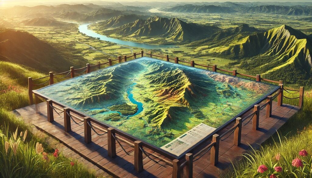
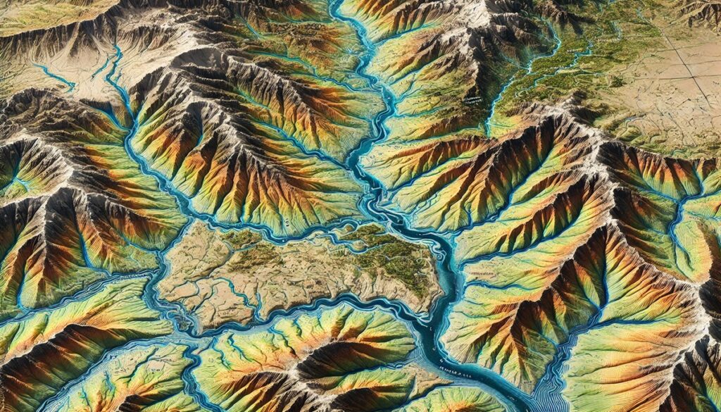
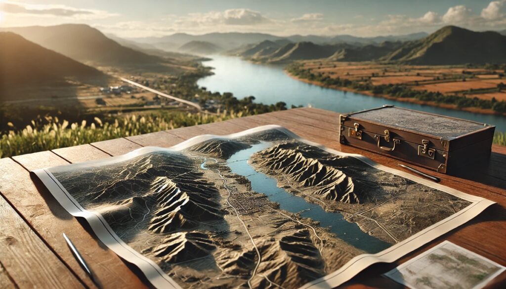
Drainage basins are the natural systems that shape our landscapes and guide the movement of water across the Earth. These areas, also known as watersheds, collect all the water that falls within their boundaries and funnel it through rivers, streams, and lakes, eventually reaching oceans or other bodies of water. They are essential to both the environment and human society, as they provide the lifeblood for ecosystems, agriculture, and industry. Mapping drainage basins offers an incredible way to understand how water flows, how it shapes the land, and how it supports life. A drainage basin map is not just a depiction of geography; it is a visual story that reveals the interconnectedness of natural elements. These maps help us see the intricate networks of rivers and tributaries that wind through vast territories, connecting forests, mountains, valleys, and plains. They show the elevation contours that determine how water moves through the terrain, highlighting the areas that will flood in heavy rain or those that collect water in basins, feeding the rivers below. The colors on the map represent different zones—each with its own ecological significance, from water-rich wetlands to arid areas with little rainfall. The detailed mapping of drainage basins also helps us manage water resources, predict flooding, conserve habitats, and plan infrastructure in urban areas. These maps can guide environmental policies, helping governments and organizations make decisions that balance development with sustainability. Historically, drainage basins and their maps have shaped civilizations; ancient societies settled along rivers for their fertile lands and access to water, using these waterways for trade, transportation, and irrigation. Today, these maps continue to guide scientists, farmers, engineers, and environmentalists in understanding the delicate balance of our water systems. With advances in technology, modern maps can provide real-time data, showing how human actions—deforestation, pollution, urbanization—affect the flow of water and the health of ecosystems. The deeper we dive into these maps, the more we understand the vital role that drainage basins play in the Earth’s natural systems, revealing their importance in sustaining life, regulating climate, and maintaining ecological balance.

Drainage basins, also known as watersheds or catchments, are the areas of land that drain water into a common outlet, such as a river, lake, or ocean. These vast areas of land play a crucial role in the planet’s hydrological cycle by channeling water, supporting ecosystems, and influencing human settlements. The largest drainage basins in the world are not only significant in size, but they also have historical, ecological, and economic importance. These basins shape the landscapes of entire regions and provide essential resources to billions of people. Below is a list of the top 10 largest drainage basins globally, ranked by their size, showcasing the incredible scale and influence of these natural systems.
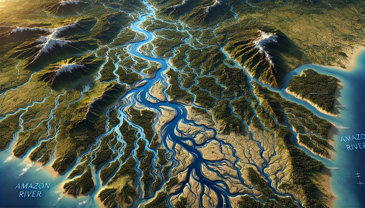
#1: The Amazon River Basin, 2,720,000 Square Miles
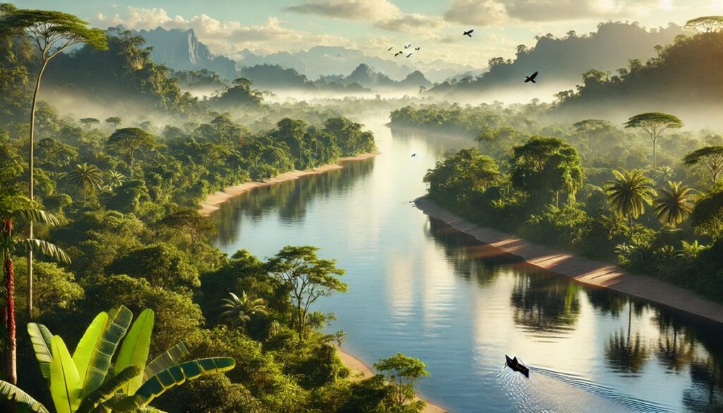
The Amazon River Basin, covering an expansive 2,720,000 square miles, is the largest drainage basin in the world. The basin is home to the mighty Amazon River, the second-longest river on Earth, and drains the waters of nine countries in South America, including Brazil, Peru, Colombia, and Venezuela. The basin is famed for its incredible biodiversity, housing an estimated 10% of the world’s known species. The Amazon River is the lifeblood of this region, providing a waterway for transportation, agriculture, and the livelihoods of millions of people who rely on it for fishing, farming, and daily life. The basin’s dense tropical rainforests are often referred to as the “lungs of the Earth” due to their vital role in absorbing carbon dioxide and producing oxygen. However, the Amazon faces significant environmental challenges, including deforestation, which threatens its biodiversity and ability to regulate the global climate. The basin is crucial for global climate regulation, and efforts are underway to balance development with conservation. Local anecdotal stories often speak of the river as a symbol of life, with indigenous tribes living in harmony with the waters and forests for centuries.
#2: The Congo River Basin, 1,250,000 Square Miles
The Congo River Basin spans 1,250,000 square miles and is the second-largest drainage basin in the world. This massive basin is located in Central Africa, with the Congo River acting as its central artery. The river flows through six countries: the Democratic Republic of the Congo, Republic of the Congo, Cameroon, Central African Republic, Angola, and Gabon. The Congo Basin is home to the world’s second-largest tropical rainforest, after the Amazon, and is known for its incredible biodiversity. The Congo River is the deepest river in the world, reaching depths of over 700 feet. One of the most significant features of the Congo River is its potential for hydroelectric power, with the Inga Falls being a major source of untapped energy. Local communities, many of whom live in remote regions, rely on the river for drinking water, transportation, and trade. However, the basin faces threats from deforestation, illegal logging, and political instability. The Congo River Basin has long been a focal point for research on sustainable resource management, and its role in mitigating climate change through forest preservation cannot be overstated.
#3: The Nile River Basin, 1,293,000 Square Miles
The Nile River Basin covers approximately 1,293,000 square miles, making it one of the largest and most historically significant drainage basins in the world. The Nile River, the longest river on Earth, flows through northeastern Africa, draining parts of 11 countries, including Uganda, Sudan, Egypt, Ethiopia, and Rwanda. The river has been the lifeline for civilizations in the region for thousands of years, providing water for agriculture, transportation, and sustenance in an otherwise arid landscape. The basin is crucial for Egypt’s economy, as the fertile soil along the Nile’s banks supports a large portion of the country’s agricultural production. One of the most interesting facts about the Nile River is its role in the ancient Egyptian civilization, where it was central to the development of agriculture, trade, and culture. Anecdotal stories from Egyptians describe how the flooding of the Nile each year brought nutrient-rich silt to the land, enabling successful farming. Today, the basin faces challenges from population growth, water scarcity, and political tensions between countries that share the river’s waters. The construction of the Aswan High Dam in the 1960s was a major project that aimed to control the river’s flooding, generate hydroelectric power, and provide irrigation for agriculture.
#4: The Yenisei River Basin, 1,020,000 Square Miles
The Yenisei River Basin spans 1,020,000 square miles, draining the central region of Siberia in Russia. The Yenisei River, which flows into the Arctic Ocean, is one of the longest rivers in the world, covering a vast expanse from the Mongolian border to the Kara Sea. The basin is known for its rugged terrain, including mountains, forests, and tundra. The Yenisei River is a vital water source for the region, providing water for agriculture, industry, and human settlements. One interesting fact about the Yenisei River is that it is one of the most important rivers for hydroelectric power generation in Russia, with numerous dams along its course. The basin is also home to unique wildlife, including Siberian tigers, bears, and numerous species of birds. The Yenisei River has been an important trade route in Siberia, with the river’s flow facilitating the movement of goods and people for centuries. However, the river and its basin face environmental threats from industrial pollution, deforestation, and climate change, which is altering the flow of the river and its ecosystems.
#5: The Mississippi-Missouri River Basin, 1,150,000 Square Miles
The Mississippi-Missouri River Basin covers approximately 1,150,000 square miles and is one of the largest and most vital drainage basins in North America. The Mississippi River, along with its major tributary, the Missouri River, flows through the central United States, draining parts of 31 U.S. states and two Canadian provinces. The basin is essential for the region’s economy, supporting agriculture, transportation, and industry. The Mississippi River is a major waterway for shipping goods from the heart of the country to the Gulf of Mexico, and it also provides water for millions of people living along its banks. One interesting fact about the Mississippi-Missouri River Basin is its role in shaping the settlement and expansion of the United States during the 19th century, as pioneers followed the river westward. The basin also plays a significant role in American history, particularly during the Civil War, where battles were fought along the river’s banks. However, the river and its watershed face challenges such as pollution, habitat loss, and flooding, prompting efforts for restoration and conservation.
#6: The Ob-Irtysh River Basin, 1,010,000 Square Miles
The Ob-Irtysh River Basin spans approximately 1,010,000 square miles in Siberia, Russia. The Ob River, along with the Irtysh River, is one of the longest river systems in Asia and flows into the Arctic Ocean. The basin drains a vast expanse of northern Asia, including parts of Kazakhstan, China, and Russia. The Ob-Irtysh River Basin is vital for the people living in this region, as the rivers provide water for agriculture, industry, and everyday life. One of the most significant uses of the river is for shipping, as the Ob River provides a critical transport route for goods across Siberia. The basin is also home to various wildlife species, including the Siberian tiger, wild boar, and numerous fish species. Local stories from residents often describe how the river has shaped their communities, with many people relying on it for fishing and transportation. However, the river and its basin face environmental challenges, including pollution, habitat destruction, and the effects of climate change.
#7: The Mackenzie River Basin, 465,000 Square Miles
The Mackenzie River Basin, covering 465,000 square miles, is the largest watershed in Canada. The Mackenzie River, which flows into the Arctic Ocean, drains much of northern Canada, including parts of British Columbia, Alberta, and the Northwest Territories. The basin is an important water source for the Indigenous peoples who live in the region, providing water for drinking, transportation, and hunting. The Mackenzie River Basin is known for its pristine wilderness, with vast forests, wetlands, and tundra supporting a variety of wildlife species, including caribou, moose, and bears. The river also provides a vital route for transporting goods, particularly in remote areas where roads are scarce. The basin faces environmental challenges from industrial development, such as oil and gas exploration, as well as climate change, which is causing the region’s ecosystems to shift.
#8: The Indus River Basin, 450,000 Square Miles
The Indus River Basin spans approximately 450,000 square miles, draining parts of India, Pakistan, and China. The Indus River, which flows from the Tibetan Plateau to the Arabian Sea, is one of the most important rivers in South Asia. The basin is home to over 200 million people who depend on the river for agriculture, drinking water, and industry. The Indus River Basin is known for its arid and semi-arid regions, but its fertile plains, known as the “breadbasket of Pakistan,” support the production of wheat, rice, and cotton. One interesting aspect of the Indus River Basin is its historical significance, as it was the birthplace of one of the world’s earliest civilizations, the Indus Valley Civilization. Today, the river faces challenges such as water scarcity, pollution, and tensions between India and Pakistan over water rights.
#9: The Paraná River Basin, 900,000 Square Miles
The Paraná River Basin, covering approximately 900,000 square miles, spans Brazil, Argentina, and Paraguay. The Paraná River is one of the longest rivers in South America, and its basin supports a large portion of the region’s population. The river is crucial for agriculture, transportation, and hydroelectric power generation, with the Itaipu Dam being one of the largest hydroelectric plants in the world. The Paraná River Basin is also home to the Iguaçu Falls, one of the most spectacular natural wonders on Earth. Local stories often highlight the river’s role in supporting trade and agriculture, particularly in the production of soybeans and corn. However, the basin faces environmental challenges from deforestation, pollution, and the effects of climate change.
#10: The Limpopo River Basin, 300,000 Square Miles
The Limpopo River Basin spans approximately 300,000 square miles, draining parts of Southern Africa, including South Africa, Botswana, Zimbabwe, and Mozambique. The Limpopo River is an important water source for millions of people in the region, providing water for agriculture, industry, and daily life. The river is also known for its role in ancient trade routes, as it served as a major route for transporting goods across the region. The basin faces challenges such as droughts, deforestation, and water pollution, which threaten the availability of clean water for local communities. Efforts are underway to manage water resources more effectively and protect the river’s ecosystems.
The top 10 largest drainage basins in the world highlight the diversity and scale of these natural systems, which are essential for sustaining life on Earth. From the immense Amazon River Basin to the smaller yet significant Limpopo River Basin, each of these watersheds plays a crucial role in providing water, supporting ecosystems, and shaping the regions through which they flow. These basins are vital resources, and their preservation is key to ensuring the health of the planet’s ecosystems and the well-being of billions of people who depend on them.