Tag: Maps

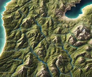
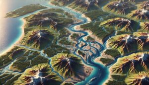
North Platte River Watershed Map

North Platte River Watershed Map

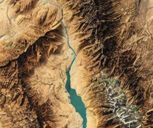
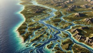
Explore the North Platte River Watershed Map, revealing the river’s dynamic flow, diverse ecosystems, and human influence. With cutting-edge 3D mapping technology, gain insights into how the river shapes the land, sustains wildlife, and supports human communities. This vital tool guides sustainable water management and conservation efforts, ensuring the river’s health and resilience for generations to come.
Read More »
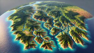
La Plata River Basin Watershed Map

La Plata River Basin Watershed Map

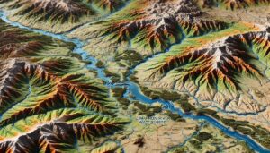
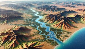
Dive into the La Plata River Basin, a vital South American watershed. Discover its dynamic rivers, ecosystems, and the cutting-edge 3D mapping technology helping manage this critical water system for future sustainability and environmental protection.

Read More »
Peru Topo Map

Peru Topo Map

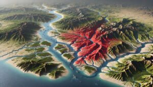
Discover Peru’s breathtaking landscapes through topo maps that unveil the Andes’ peaks, the Amazon’s vast rivers, and coastal deserts. Explore how these maps are crafted in stunning 2D and 3D formats, blending precision with artistry. Perfect for adventurers, scientists, and history lovers, Peru’s topo maps offer a window into the country’s natural beauty and rich cultural heritage.

Read More »
Michigan Topo Map

Michigan Topo Map

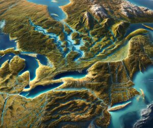
Discover Michigan’s stunning geography with topographic maps showcasing the rugged Upper Peninsula, rolling Lower Peninsula hills, and expansive Great Lakes shores. From the towering dunes of Sleeping Bear to the remote Isle Royale, 2D and 3D maps bring the Great Lakes State’s landscapes to life, offering adventurers and conservationists a deeper connection to its natural beauty and rich geography.

Read More »
Lake Malawi Basin Watershed Map

Lake Malawi Basin Watershed Map

Explore the Lake Malawi Basin Watershed, a vital water system in East Africa. Discover its dynamic geography, rich biodiversity, and how advanced 3D mapping technology is transforming sustainable management and conservation, ensuring the lake’s health and resources for future generations.

Read More »
Gulf of Guinea Watershed Map

Gulf of Guinea Watershed Map

Dive into the Gulf of Guinea Watershed, a crucial ecosystem shaping Africa’s biodiversity and economy. Explore its rivers, diverse habitats, and the cutting-edge 3D mapping technology used to understand and manage this vital water system for sustainable development and conservation.

Read More »
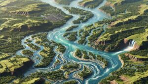
Niagara River Watershed Map

Niagara River Watershed Map

Explore the Niagara Falls Watershed, a vital part of the Great Lakes ecosystem. Learn how 3D mapping technology enhances water management, flood prediction, and conservation. Discover its role in monitoring water quality, protecting biodiversity, and ensuring the future sustainability of this iconic natural wonder.

Read More »
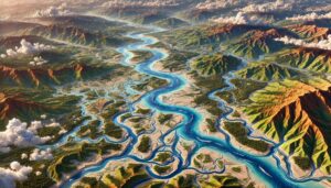
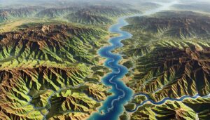
Ganges River Watershed Map

Ganges River Watershed Map

Discover the Ganges River Watershed, a lifeline for millions in South Asia, through advanced 3D mapping technologies. Explore its rich ecosystems, seasonal flow, and how the river supports agriculture, industry, and biodiversity. Learn how modern maps guide sustainable management, conservation efforts, and flood prediction, ensuring the river’s resilience for generations to come.
Read More »
California Topo Map

California Topo Map

Discover California’s diverse landscapes through detailed topographic maps, revealing the towering Sierra Nevada, rugged coastline, and vast deserts. Whether exploring the cliffs of Yosemite, navigating Death Valley, or studying the Central Valley’s subtle contours, 2D and 3D topo maps bring the Golden State’s dynamic terrain to life, offering a new way to experience its natural beauty and geographical wonders.

Read More »
Cimarron River Watershed Map

Cimarron River Watershed Map

Discover the Cimarron River Watershed Map, revealing the river’s dynamic flow, diverse ecosystems, and human influence. With advanced 3D mapping technology, explore how the river shapes the land, sustains wildlife, and supports human communities. This essential tool guides sustainable water management and conservation efforts, ensuring the river’s health and resilience for future generations.

Read More »
Red River (Asia) Watershed Map

Red River (Asia) Watershed Map

Dive into the Red River Watershed, a vital ecosystem in Southeast Asia. Explore its unique geography, hydrology, and biodiversity, and learn how cutting-edge 3D mapping aids sustainable water management for the future.

Read More »
Rhoda Island Topo Map

Rhode Island Topo Map

Discover Rhode Island’s captivating geography with topographic maps showcasing Narragansett Bay, rugged coastal cliffs, and rolling inland hills. From Block Island’s dramatic bluffs to tranquil river valleys, 2D and 3D maps bring the Ocean State’s landscapes to life, offering adventurers and conservationists a deeper connection to its stunning terrain and natural beauty.

Read More »
San Diego Topo Map

San Diego Topo Map

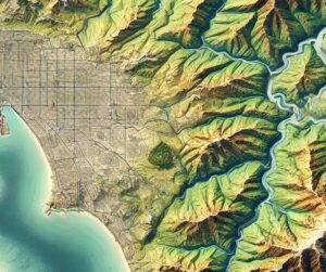
Discover San Diego’s breathtaking landscapes with topo maps that reveal its coastal cliffs, rolling hills, and urban landmarks. Learn how 2D and 3D maps are expertly crafted to capture the city’s dynamic terrain, blending technology with artistry. Perfect for adventurers, planners, and conservationists, these maps unlock the beauty and complexity of America’s Finest City in unparalleled detail.

Read More »
Kunene River Watershed Map

Kunene River Watershed Map

Dive into the Kunene River Watershed, a vital water system in Southern Africa. Explore its dynamic geography, diverse ecosystems, and how advanced 3D mapping technology is revolutionizing sustainable management and conservation, ensuring the river’s health and resources for future generations.

Read More »
St. Lawrence River Watershed Map

St. Lawrence River Watershed Map

Discover the St. Lawrence River Watershed, a vital system linking the Great Lakes to the Atlantic. Explore its diverse ecosystems, rich cultural history, and economic importance. Learn how stunning 3D maps bring its waterways to life while addressing challenges like climate change and pollution. Uncover the critical role this watershed plays in sustaining life and trade across North America.

Read More »
Lake Ontario Watershed Map

Lake Ontario Watershed Map

Explore the Lake Ontario Watershed, a vital water system supporting diverse ecosystems and communities. Discover how 3D mapping technology enhances water management, flood prediction, and conservation efforts, ensuring the health and resilience of the lake and its surrounding regions. Uncover the critical role of the watershed in maintaining water quality, managing resources, and protecting biodiversity.

Read More »

Get a Free Quote