Tag: Maps

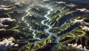
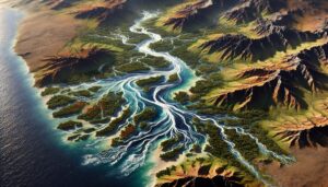
Cunene River Watershed Map

Cunene River Watershed Map

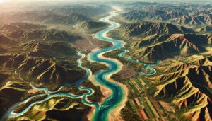
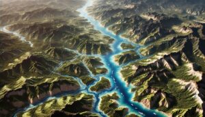
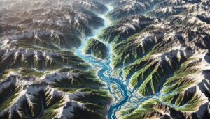
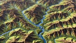
Explore the Cunene River Watershed, a vital resource for southern Africa, supporting agriculture, industry, and ecosystems. Learn about its geography, hydrology, and rich biodiversity, and how 3D mapping technologies are enhancing watershed management. These advanced tools help monitor water quality, simulate future risks, and develop sustainable strategies to conserve the river and its ecosystems, ensuring their health for generations to come.
Read More »
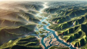
China Watershed Maps

China Watershed Maps

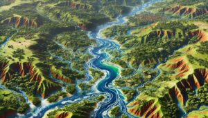
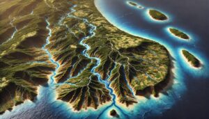
China’s watershed maps are vital for managing river systems, predicting floods, and ensuring sustainable water use. These maps guide water allocation for agriculture, industry, and communities while helping the country adapt to climate change challenges and ensuring water security.

Read More »
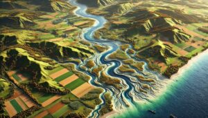
Azerbaijan Watershed Maps

Azerbaijan Watershed Maps

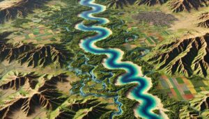
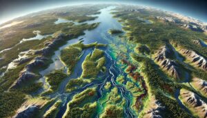
Azerbaijan’s watershed maps reveal the complex interaction between its rivers, mountains, and ecosystems. These maps are essential tools for managing water resources, predicting seasonal changes, and conserving biodiversity. The integration of 3D mapping technology helps enhance water management strategies and address the challenges posed by climate change, ensuring sustainable water use in the future.

Read More »
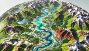
Luxembourg Watershed Maps

Luxembourg Watershed Maps

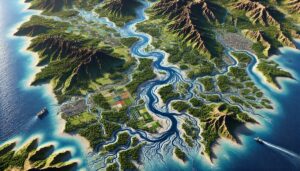
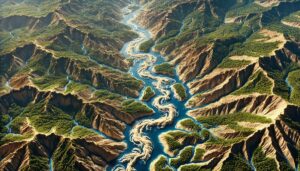
Luxembourg’s watersheds are vital for agriculture, energy, and ecosystems. This blog explores their significance, challenges, and how 3D watershed maps help manage water resources, reduce pollution, and support conservation efforts. Learn how mapping technologies contribute to ensuring the sustainability of Luxembourg’s water systems amidst climate change and increasing water demands.

Read More »
Zambia Watershed Maps

Zambia Watershed Maps

Zambia’s watersheds, including the Zambezi and Luangwa River Basins, are vital for agriculture and ecosystems. Learn how 3D mapping, GIS, and remote sensing technologies help manage these critical water systems. These tools address challenges such as water scarcity, pollution, and climate change, ensuring sustainable water use, improving flood management, and safeguarding ecosystems, ultimately supporting the country’s water security for future generations.

Read More »
Denmark Watershed Maps

Denmark Watershed Maps

Denmark’s watershed maps are essential for managing river systems, predicting floods, and ensuring sustainable water use. These maps help allocate water for agriculture, industry, and communities while addressing climate change challenges. By monitoring river flow, groundwater levels, and water quality, they support effective water management, flood prevention, and ecosystem protection, ensuring that Denmark’s water resources are preserved for future generations.

Read More »
Amur River Watershed Map

Amur River Watershed Map

Explore the Amur River Watershed, one of Asia’s most vital waterways, through advanced 3D mapping technologies. Discover its rich ecosystems, seasonal dynamics, and how mapping tools help conserve this unique river system. Uncover the ecological importance of the Amur River and its impact on the people, wildlife, and landscapes that depend on it, ensuring sustainable management for future generations.

Read More »
Angola Watershed Maps

Angola Watershed Maps

Explore Angola’s watersheds, vital for agriculture, hydropower, and biodiversity. Learn about the Congo and Zambezi River basins and how 3D mapping technologies are improving water management. These tools provide detailed insights into water flow, land use, and environmental changes, enabling sustainable resource management. By using advanced mapping, Angola can conserve its water resources and ensure long-term ecological and economic stability.

Read More »
Central African Republic Watershed Maps

Central African Republic Watershed Maps

Watershed maps in the Central African Republic are essential for managing water resources, predicting floods, and ensuring sustainable use across the country. These maps help guide water distribution for agriculture, industry, and communities while addressing the challenges of climate change. By monitoring river systems, groundwater, and seasonal fluctuations, these maps ensure the sustainable use of vital water resources for future generations.

Read More »
Karun River Watershed Map

Karun River Watershed Map

Explore the Karun River Watershed, a vital resource in southwestern Iran, supporting agriculture, industry, and ecosystems. Learn about its geography, hydrology, and rich biodiversity, and how 3D mapping technologies help manage and conserve the watershed. Sustainable management practices, powered by advanced mapping tools, are essential for protecting the river’s health and ensuring it continues to serve local communities and wildlife for future generations.

Read More »
Fiji Watershed Maps

Fiji Watershed Maps

Fiji’s watershed maps are crucial for managing river systems, predicting floods, and ensuring sustainable water use. These maps help allocate water for agriculture, industry, and communities while addressing climate change challenges. By monitoring river flow, groundwater levels, and water quality, they support flood prevention, efficient water distribution, and ecosystem protection, ensuring that Fiji’s water resources are preserved for future generations.

Read More »
Laos Watershed Maps

Laos Watershed Maps

Laos’ watersheds are essential for agriculture, energy, and ecosystems. This blog explores their significance, the challenges they face, and how 3D watershed maps help manage water resources, reduce pollution, and support conservation efforts. Learn how mapping technologies contribute to ensuring the sustainability of Laos’ vital water systems.

Read More »
Barbados Watershed Maps

Barbados Watershed Maps

Barbados’ watershed maps are essential for managing water resources on the island. These maps help monitor river systems, aquifers, and the impacts of climate change, ensuring sustainable water use for agriculture, ecosystems, and communities.

Read More »
Bolivia Watershed Maps

Bolivia Watershed Maps

Watershed maps are essential tools for managing Bolivia’s rivers and lakes. These maps help monitor water flow, prevent flooding, and guide sustainable water use in the face of climate change, ensuring long-term water security for the country.

Read More »
Botswana Watershed Maps

Botswana Watershed Maps

Watershed maps in Botswana are critical for managing water resources, particularly in the arid regions of the Kalahari Desert and Okavango Delta. These maps help manage water flow, track flood risks, and ensure sustainable water use for agriculture, conservation, and communities.

Read More »

Get a Free Quote