Tag: Maps

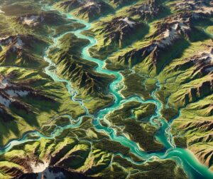
Lake Chad Basin Watershed Map

Lake Chad Basin Watershed Map

Discover the Lake Chad Basin Watershed, a vital water source for millions in Africa. Learn how 3D mapping technologies track water flow, support ecosystems, and guide sustainable management. Explore its role in agriculture, the challenges it faces, and the innovative solutions that ensure its long-term health and resilience.

Read More »

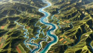
Great Lakes Watershed Map

Discover the Great Lakes Watershed, a vital freshwater system spanning 295,000 square miles. Explore its intricate waterways, rich ecosystems, and economic importance. Learn about its challenges, from pollution to climate change, and the artistry behind stunning 3D maps that bring this dynamic region to life. Uncover the role it plays in supporting millions of lives and sustaining North America’s natural heritage.

Read More »
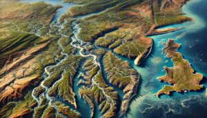
Brazil Topo Map (1)

Brazil Topo Map

Discover Brazil’s stunning geography with topographic maps showcasing the Amazon’s vast rainforest, the Brazilian Highlands’ rolling plateaus, and the Pantanal’s expansive wetlands. From dramatic coastlines to lush ecosystems, 2D and 3D maps bring Brazil’s diverse landscapes to life, offering adventurers, conservationists, and educators a deeper connection to its natural wonders.

Read More »

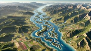
Snake River Watershed Map

Discover the Snake River Watershed, a vital lifeline of the Pacific Northwest. Explore its diverse waterways, rich ecosystems, and cultural significance. Learn how stunning 3D maps bring its geography to life, addressing challenges like climate change and habitat loss while preserving its natural beauty and importance for future generations.

Read More »
Gasconade River Watershed Map

Gasconade River Watershed Map

Explore the Gasconade River Watershed Map, revealing the intricate flow of water, diverse ecosystems, and human influence on this vital Missouri river system. With advanced 3D mapping technology, this tool offers a dynamic, immersive look at the river’s geography and hydrology, guiding conservation efforts and sustainable management to preserve the watershed’s health for future generations.

Read More »

Kura-Aras Watershed Map

Discover the Kura-Aras Watershed, a vital water system in the South Caucasus. Learn how advanced 3D mapping technologies track the rivers’ flow, support ecosystems, and guide sustainable water management. Explore the challenges the watershed faces, including pollution and climate change, and how the map helps ensure its long-term resilience and sustainability for both communities and biodiversity.

Read More »
Philadelphia Topo Map

Philadelphia Topo Map

Discover Philadelphia’s unique blend of history and natural beauty with detailed topo maps. Explore how 2D and 3D maps capture the city’s rivers, rolling terrain, and iconic landmarks. Perfect for planners, conservationists, and adventurers, these maps offer a deep dive into the City of Brotherly Love, revealing its rich geography and cultural legacy in stunning detail.

Read More »
Amu Darya Watershed Map

Amu Darya Watershed Map

Dive into the Amu Darya River Watershed, a vital water system in Central Asia. Discover its dynamic geography, essential ecosystems, and how cutting-edge 3D mapping technology is revolutionizing sustainable management and conservation efforts, ensuring the river’s health and resources for future generations.

Read More »

Red River of the South Watershed Map

Discover the Red River Watershed, a vital Great Plains system supporting ecosystems, agriculture, and communities. Explore its intricate waterways, rich biodiversity, and cultural significance. Learn how stunning 3D maps bring its geography to life, addressing challenges like climate change and habitat loss while preserving its natural beauty and resources for future generations.

Read More »
Aral Sea Basin Watershed Map

Aral Sea Basin Watershed Map

Explore the Aral Sea Basin Watershed, once a thriving ecosystem now facing severe environmental challenges. Learn how 3D mapping technologies track water flow, support restoration, and guide sustainable management. Discover the region’s geography, the effects of human activity, and how innovative tools are helping mitigate water scarcity, pollution, and habitat loss in this critical area.

Read More »
Grand River Watershed (Michigan) Map

Grand River Watershed (Michigan) Map

Discover Michigan’s Grand River Watershed, a vital ecosystem supporting biodiversity, agriculture, and urban life. Explore its intricate network through the Grand River Watershed Map and learn how 3D mapping transforms understanding, aiding in sustainable management and conservation for future generations. From rolling farmlands to bustling cities, this watershed connects people and nature in remarkable ways.

Read More »
Elbe River Watershed Map

Elbe River Watershed Map

Discover the Elbe River Watershed, a vital European waterway. Learn how 3D mapping technologies track the river’s flow, support ecosystems, and guide sustainable management. Explore its impact on agriculture, biodiversity, and the challenges it faces from climate change and human activity, ensuring the river’s long-term health for future generations.

Read More »
Japan Topo Map

Japan Topo Map

Discover Japan’s diverse landscapes with topographic maps showcasing Mount Fuji’s grandeur, the Japanese Alps’ rugged peaks, and the serene Seto Inland Sea. From volcanic terrains in Kyushu to Hokkaido’s untamed beauty, 2D and 3D maps bring Japan’s unique geography to life, guiding adventurers, conservationists, and educators through its breathtaking natural and urban wonders.

Read More »
North Dakota Topo Map

North Dakota Topo Map

Discover North Dakota’s stunning geography with topographic maps revealing the rugged Badlands, fertile Red River Valley, and rolling Drift Prairie. From the serene Turtle Mountains to the vast Missouri River, 2D and 3D maps bring the Peace Garden State’s landscapes to life, offering adventurers and conservationists a deeper connection to its diverse and captivating terrain.

Read More »
Atlantic Seaboard Basin Watershed Maps

Atlantic Seaboard Basin Watershed Maps

Dive into the Atlantic Seaboard Basin Watershed, exploring its diverse ecosystems, complex water systems, and the vital role it plays in shaping the eastern U.S. From 3D mapping technology to the environmental impacts of urbanization, discover how this dynamic watershed is managed and preserved, ensuring its sustainability for future generations.

Read More »
Rhone River Watershed Map

Rhone River Watershed Map

Explore the Rhone River Watershed, a vital waterway for southern France and Switzerland. Discover how 3D mapping technologies track water flow, support ecosystems, and guide conservation. Learn about the river’s impact on agriculture, biodiversity, and the challenges it faces, from climate change to pollution, all while ensuring its sustainability for future generations.

Read More »

Get a Free Quote