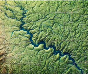
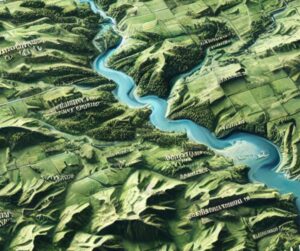
Kentucky Topo Map
Discover Kentucky’s stunning landscapes with topographic maps that reveal the rugged Appalachians, rolling Bluegrass hills, dynamic rivers, and intricate caves. From the towering limestone cliffs to the karst wonders of Mammoth Cave, 2D and 3D maps bring the Bluegrass State’s diverse terrain to life, offering adventurers and educators a deeper connection to its natural beauty and rich geography.