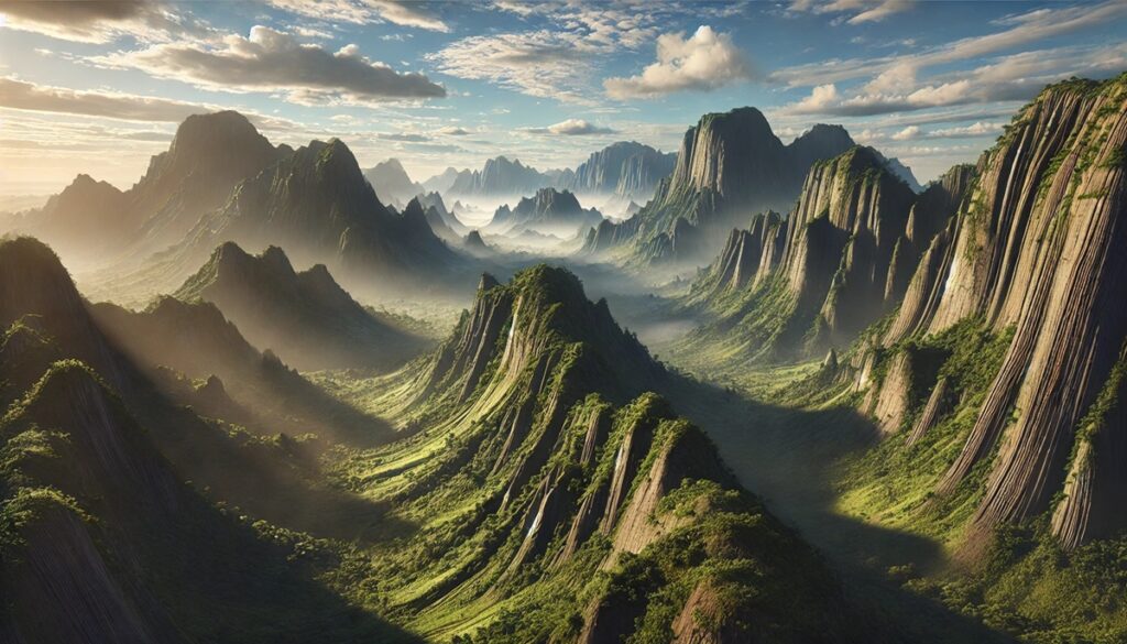
Metamorphic rocks are remarkable natural formations that tell the story of Earth’s transformation. Created through heat, pressure, and time, these rocks are used in everything from construction to art, with their unique textures and properties capturing the imagination of generations. Below is a detailed look at the top 10 metamorphic rocks, their uses, and the stories they hold.
#1: Marble (Common Sizes: Blocks up to 20 feet)
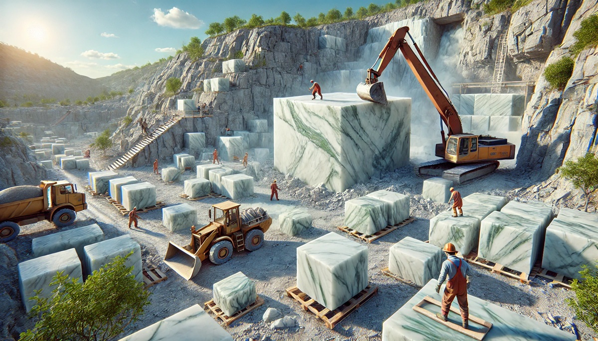
Marble is one of the most famous metamorphic rocks, formed when limestone undergoes intense heat and pressure. Known for its smooth texture and striking veining, marble is used in sculptures, architecture, and decorative works. Blocks can measure up to 20 feet, with Carrara marble in Italy and Makrana marble in India being the most renowned varieties. Carrara marble was Michelangelo’s material of choice for his masterpiece, the Statue of David. The Taj Mahal’s Makrana marble reflects moonlight, creating an ethereal glow. In ancient Greece, marble was believed to symbolize purity and perfection, inspiring architects and sculptors to create timeless works.
#2: Quartzite (Slabs up to 15 feet)
Quartzite forms from sandstone subjected to heat and pressure, creating a hard, durable rock. Often found in slabs up to 15 feet, it is highly resistant to weathering and is used for countertops, flooring, and railway ballast. Major sources include Brazil and South Africa. Its sparkling crystalline surface reflects its quartz content. Norwegian fjords, adorned with quartzite cliffs, create breathtaking landscapes, shimmering in the sunlight. Early humans valued quartzite for its durability, using it to craft tools and weapons.
#3: Slate (Sheets up to 10 feet)
Slate is a fine-grained metamorphic rock known for its ability to split into thin, durable sheets. Measuring up to 10 feet, it is widely used for roofing, flooring, and chalkboards. Major slate-producing regions include Wales in the UK and Vermont in the US. Welsh slate, famously called “the rock of a thousand uses,” was used to build entire villages and roof iconic structures like Westminster Abbey. Its water resistance and fireproof qualities make slate indispensable in construction.
#4: Schist (Blocks up to 8 feet)
Schist is a shiny, foliated rock with minerals like mica and garnet that add luster to its surface. Blocks of schist can measure up to 8 feet, and it is found in places like Scotland and the Appalachian Mountains. Schist’s shimmering surface makes it a popular choice for landscaping and interior decoration. In ancient Greece, it was used to construct temples, adding both structural strength and visual appeal to their architecture.
#5: Gneiss (Boulders up to 6 feet)
Gneiss is a banded metamorphic rock often mistaken for marble due to its striking striped patterns. Boulders of gneiss can reach up to 6 feet and are quarried in regions such as Finland and Canada. Known for its strength, gneiss is used in construction and landscaping. It is also one of the oldest rock types on Earth, with some formations dating back billions of years. Scandinavian folklore associates gneiss with the “veins of the Earth,” symbolizing the planet’s enduring vitality.
#6: Amphibolite (Blocks up to 5 feet)
Amphibolite is a dense, dark rock formed from basalt under heat and pressure. Typically found in blocks up to 5 feet, it is sourced from regions like Norway and Brazil. Amphibolite is valued for its strength in road construction and as a building material. The ancient Mayans used amphibolite to craft grinding tools and ceremonial artifacts, highlighting its historical significance and versatility.
#7: Phyllite (Slabs up to 4 feet)
Phyllite, with its silky sheen, forms when slate undergoes additional heat and pressure. Found in slabs up to 4 feet, it is often used for decorative stonework and landscaping. Regions like Scotland and Vermont are rich sources of this rock. Its shimmering surface, caused by fine mica flakes, has made it a favored choice for interior designs and artistic applications throughout history.
#8: Eclogite (Chunks up to 3 feet)
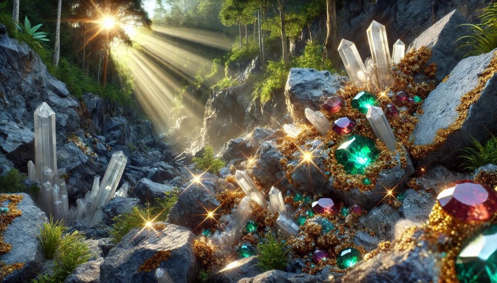
Eclogite is a vibrant metamorphic rock, recognized for its deep red and green hues from garnet and pyroxene minerals. Found in regions like Norway and the Alps, eclogite chunks can measure up to 3 feet. Rare and visually striking, it is often used in collections and as a decorative stone. In mythology, eclogite was thought to symbolize the Earth’s core, embodying strength and mystery.
#9: Serpentinite (Blocks up to 2 feet)
Serpentinite, named for its snake-like green patterns, forms from peridotite. Found in blocks up to 2 feet, it is quarried in California and Italy. It has been used for carving, construction, and jewelry. Ancient Romans believed serpentinite had protective properties, using it in amulets and religious artifacts. Its unique patterns and earthy hues continue to captivate designers and geologists alike.
#10: Hornfels (Pieces up to 1 foot)
Hornfels is a dense, fine-grained rock formed through contact metamorphism. Pieces up to 1 foot in size are commonly used in construction due to their toughness and durability. Found in regions like South Africa and Australia, hornfels was utilized by early humans for tool-making. Its formation near volcanic intrusions connects it to some of Earth’s most dramatic geological events, adding an element of intrigue to this understated rock.
Metamorphic rocks are a witness to the Earth’s ability to transform and endure. From marble’s luxurious shine to hornfels’ utilitarian strength, each rock carries a history shaped by nature’s forces and human ingenuity. These rocks have played a role in shaping our world, inspiring innovation and art while anchoring us to the planet’s dynamic processes. Their beauty and utility ensure they remain as relevant today as in the past.