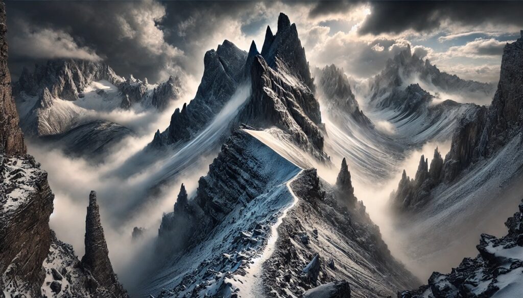
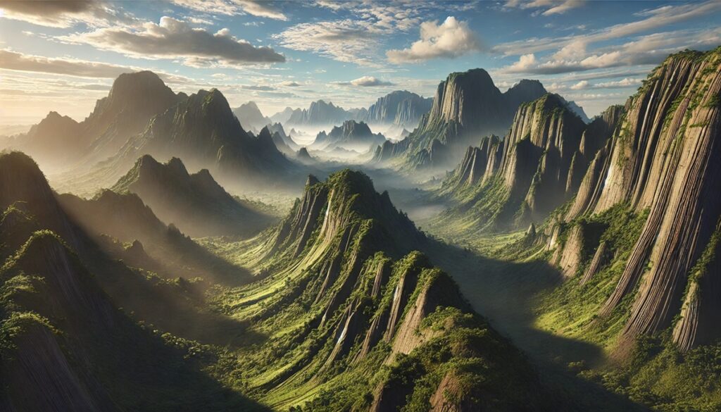
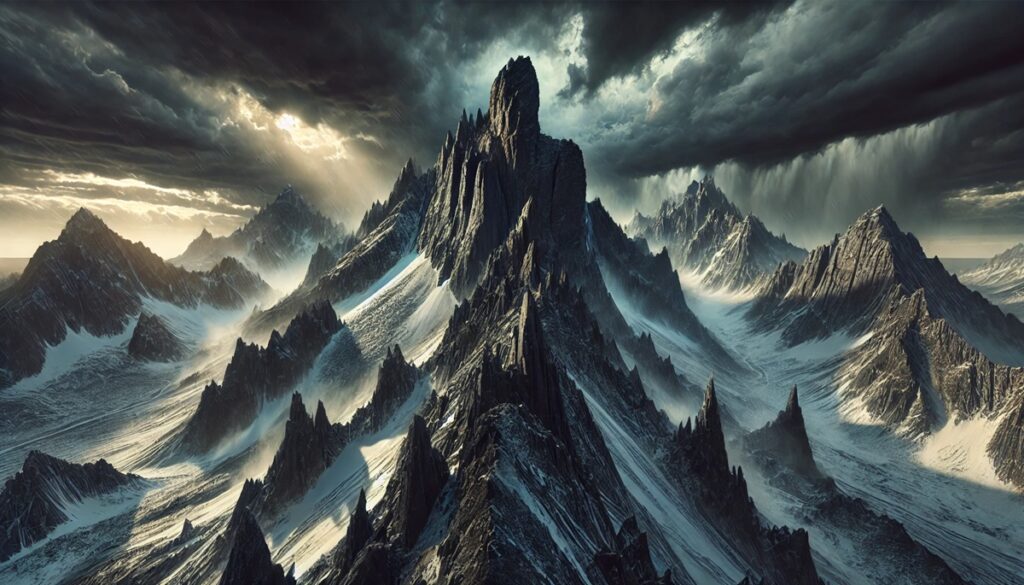
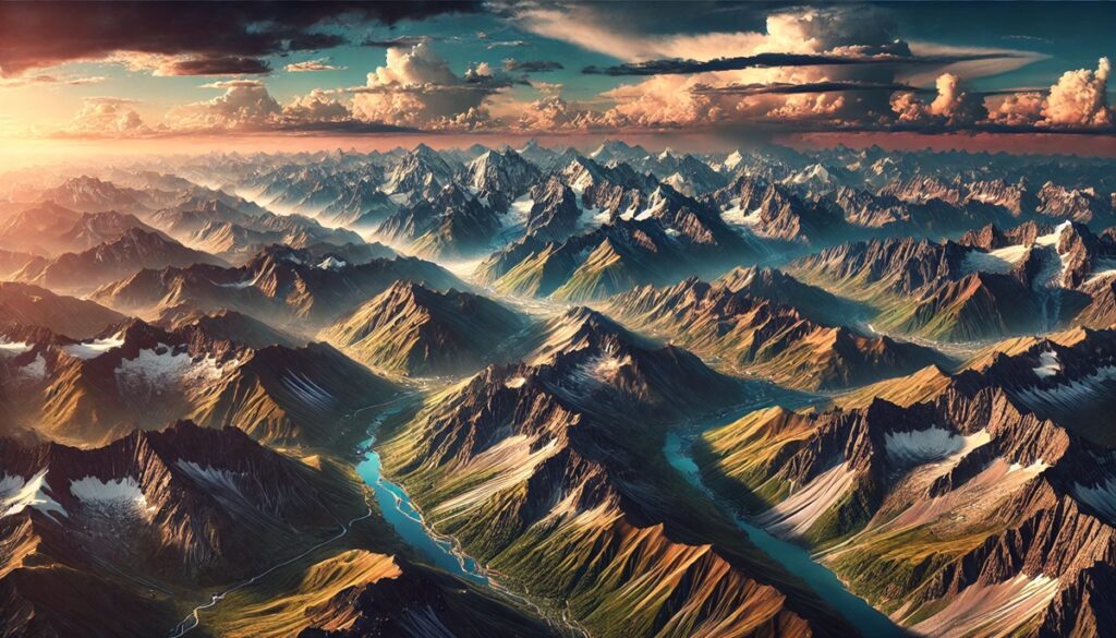
Geological sites are the Earth’s living timeline, etched into its surface through eons of relentless change and raw power. These natural wonders, from jagged peaks to hidden caves and fiery springs, serve as the planet’s open journal, narrating stories of ancient seas, molten lava flows, and tectonic shifts. Maps become more than just navigation tools in the realm of geology; they transform into treasure maps of discovery, tracing paths to formations millions of years in the making. Every contour line on a map hints at a ridge carved by glaciers or valleys formed by rivers long vanished. They guide explorers through a kaleidoscope of terrains—deserts speckled with monolithic stones, prismatic geothermal basins, and forested plateaus punctuated by towering canyons. These maps invite us to connect with the Earth’s vibrant past, inspiring curiosity about what lies beneath the surface and revealing how the forces of time have sculpted the landscapes we traverse today. Whether plotting a journey to the rim of a mighty canyon or following the twists of an ancient fault line, maps and geological sites together are a call to adventure, blending science and wonder in a way that beckons explorers to become part of Earth’s ongoing narrative.

The United States is home to some of the world’s most awe-inspiring geological wonders. From ancient canyons carved by rivers to towering volcanic peaks and unique rock formations, these sites tell a story billions of years in the making. They serve as windows into Earth’s dynamic history, showcasing processes like erosion, volcanic activity, and plate tectonics. Below is a curated list of the top 10 geologic sites in the U.S., ordered by their size, with rich detail about their features, history, and unique attributes.
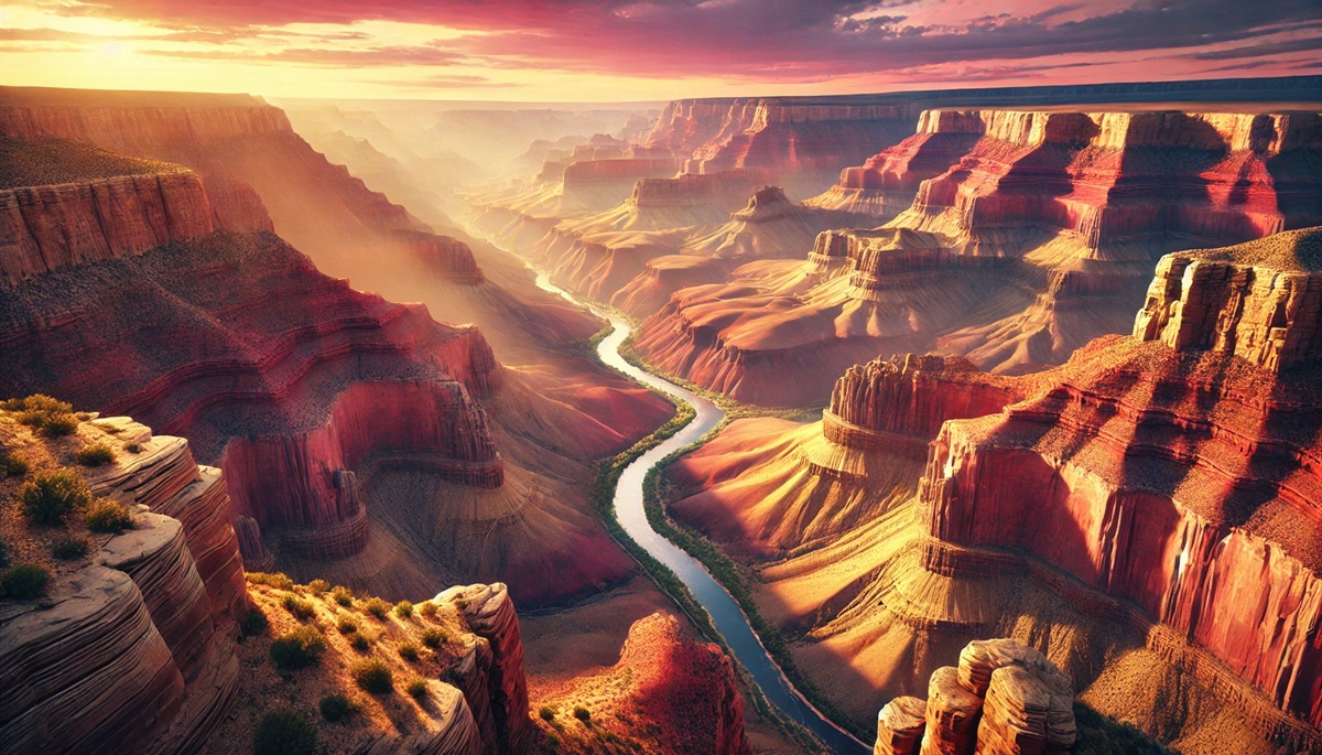
#1: Grand Canyon – 277 Miles Long
The Grand Canyon in Arizona is perhaps the most iconic geologic site in the U.S., spanning 277 miles in length, up to 18 miles in width, and over a mile deep. This colossal chasm was carved by the Colorado River over millions of years, exposing layers of rock that date back nearly two billion years. Visitors can see formations like the Vishnu Schist at the canyon’s base, which represents some of the oldest exposed rock on Earth. Besides its geological significance, the Grand Canyon holds deep cultural importance to the Native American tribes, including the Hopi, who regard it as a spiritual place. One fascinating anecdote involves John Wesley Powell’s daring 1869 expedition through the uncharted Colorado River—a journey fraught with peril that proved the canyon’s full length was navigable. Today, the canyon draws over six million visitors annually who marvel at its breathtaking vistas and vibrant hues.
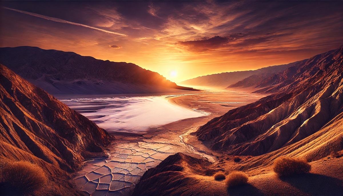
#2: Death Valley – 5,270 Square Miles
Death Valley in California and Nevada is the hottest, driest, and lowest national park in the United States, with Badwater Basin sitting at 282 feet below sea level. This expansive desert landscape features salt flats, sand dunes, rugged mountains, and colorful canyons, all shaped by extreme geological processes over millennia. The valley was once part of a massive prehistoric lake, but as the climate dried, the lake evaporated, leaving behind salt deposits. One interesting story comes from the mysterious sailing stones of Racetrack Playa, which leave tracks across the desert floor as if they move on their own. Scientists later discovered that thin ice sheets and wind are responsible for this phenomenon. Death Valley’s eerie beauty has made it a backdrop for numerous movies, including “Star Wars.”
#3: Yellowstone National Park – 3,472 Square Miles
Yellowstone, spanning parts of Wyoming, Montana, and Idaho, is a supervolcano and the world’s first national park. Beneath its surface lies one of the largest active magma chambers, responsible for the park’s famous geothermal features such as Old Faithful geyser and the vibrant Grand Prismatic Spring. Yellowstone’s landscape is a confirmation to past volcanic eruptions, with its most recent super-eruption occurring about 640,000 years ago. The park is also a haven for wildlife, including grizzly bears, wolves, and bison. Early explorer Ferdinand Hayden’s 1871 expedition led to the park’s establishment, and his vivid descriptions inspired Congress to protect this natural wonder. Visitors often share stories of encountering herds of bison roaming the park’s thermal basins, a sight that feels both prehistoric and magical.
#4: Denali – 6,190 Feet Tall
Denali, located in Alaska, is the tallest peak in North America, rising 20,310 feet above sea level. Formerly known as Mount McKinley, Denali means “The High One” in the Koyukon Athabaskan language. The mountain is part of the Alaska Range, formed by the collision of the Pacific and North American tectonic plates. Its towering summit is perpetually covered in snow and ice, creating an imposing sight. Early attempts to summit Denali were fraught with hardship, with the first successful ascent recorded in 1913 by Hudson Stuck and his team. Today, the mountain draws climbers from around the globe, though fewer than half reach the summit due to extreme weather and altitude.
#5: Carlsbad Caverns – 119 Known Caves
Carlsbad Caverns in New Mexico is a subterranean marvel hidden beneath the Chihuahuan Desert. These limestone caves, formed over 250 million years ago, feature vast chambers such as the Big Room, which spans 4,000 feet long and 255 feet high. The caverns were created by the dissolution of limestone by sulfuric acid, a rare process that sets them apart from other caves formed by carbonic acid. An intriguing aspect of Carlsbad is its bat population; at dusk during the summer, thousands of Mexican free-tailed bats emerge from the caves in a mesmerizing display. Discovered by a teenager, Jim White, in the late 19th century, the caves were once a hidden secret but are now a UNESCO World Heritage Site.
#6: Mammoth Cave – 420 Miles Explored
Mammoth Cave in Kentucky holds the title of the longest cave system in the world, with over 420 miles explored and more yet to be mapped. Its labyrinthine passages and vast chambers were formed by water dissolving limestone over millions of years. Native Americans first explored the cave around 5,000 years ago, leaving behind artifacts and mummified remains. European settlers discovered it in the late 18th century, and it gained fame as a source of saltpeter during the War of 1812. One haunting story is that of tuberculosis patients housed in the cave in the 1800s, as it was believed the air might cure them. Today, guided tours offer glimpses of its underground rivers, stalactites, and the eerie “Frozen Niagara.”
#7: Bryce Canyon – 56 Square Miles
Bryce Canyon in Utah is renowned for its unique hoodoos—tall, thin spires of rock formed by frost weathering and stream erosion. Despite its name, Bryce isn’t a true canyon but a collection of natural amphitheaters along the Paunsaugunt Plateau. These vibrant formations, ranging in color from red to orange to white, create an otherworldly landscape. Mormon pioneer Ebenezer Bryce, for whom the park is named, once remarked that it was “a hell of a place to lose a cow.” Visitors today are more likely to lose themselves in the park’s beauty while hiking among the hoodoos or stargazing in its pristine night skies.
#8: Arches National Park – 119 Square Miles
Located in Utah, Arches National Park boasts over 2,000 natural stone arches, the highest concentration in the world. These formations, including the iconic Delicate Arch, were sculpted over millions of years through erosion and weathering. The park’s fiery red sandstone is especially stunning at sunrise and sunset. One captivating fact is that new arches continue to form as old ones collapse, showcasing nature’s ongoing transformation. Early explorer Frank Beckwith once described the arches as “a place where time sleeps.” Today, the park is a haven for photographers and adventurers alike.
#9: Devils Tower – 867 Feet Tall
Rising dramatically from the Wyoming plains, Devils Tower is a striking monolith of volcanic origin. Its grooved surface is the result of magma cooling and contracting into hexagonal columns. Sacred to many Native American tribes, it is central to myths such as the Kiowa legend of seven sisters saved from a bear by the tower’s divine formation. Designated as the first U.S. national monument by President Theodore Roosevelt in 1906, Devils Tower remains a popular climbing destination and a spiritual site.
#10: Crater Lake – 6 Miles Wide
Crater Lake in Oregon is the deepest lake in the United States, formed around 7,700 years ago when Mount Mazama erupted and collapsed. Its pristine blue waters are fed solely by rain and snow, making it one of the clearest lakes in the world. Native American legends tell of the lake’s origin as a battle between the sky god and the mountain god, resulting in the mountain’s destruction. Visitors are drawn to its serenity and hiking trails, where they can see Wizard Island, a volcanic cone that rises from the lake’s surface.
These geologic wonders not only highlight the incredible diversity of the U.S. landscape but also serve as reminders of Earth’s powerful forces at work over time. Exploring them offers a chance to connect with natural history, experience awe, and appreciate the planet’s beauty. Each site is a testament to the intricate and dynamic processes that shape our world, inviting us to marvel at their timeless grandeur.