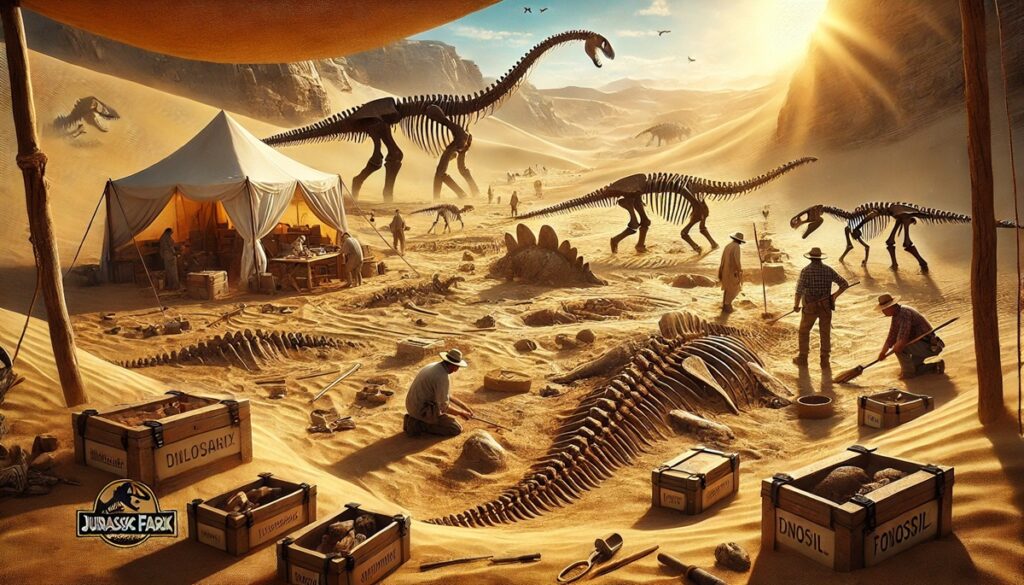
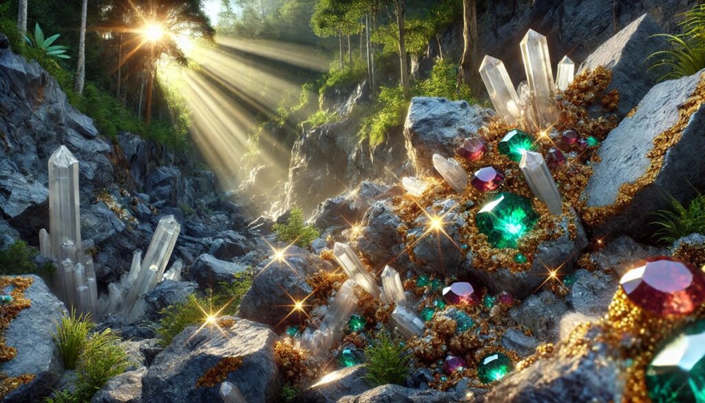
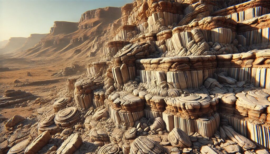
Fossil sites are like treasure maps to Earth’s distant past, each one a unique location where the remnants of ancient life are frozen in time, waiting to tell their stories. With every dig and discovery, scientists follow the clues hidden beneath layers of rock, like explorers deciphering cryptic coordinates on a map, unlocking secrets of extinct creatures, ancient ecosystems, and long-lost worlds. From the expansive fossil-rich plains of the Gobi Desert to the protected, meticulously studied layers of the Messel Pit, each fossil site offers a window into the biodiversity of bygone eras. These sites, often painstakingly mapped and documented, become key points on the paleontological map, guiding researchers as they trace evolutionary patterns and the changing climate over millions of years. Just like old explorers charting new territories, paleontologists make breakthroughs with each excavation, creating a living map of Earth’s history, one fossil at a time. The excitement of finding a rare dinosaur bone or an ancient flower preserved in amber is akin to uncovering a hidden gem on a map, one that adds new meaning and richness to our understanding of the world and the creatures that once roamed it. These fossil maps, both literal and metaphorical, help us piece together the complex puzzle of life on Earth, revealing how each layer and fossil reflects a chapter in the ever-unfolding story of life.

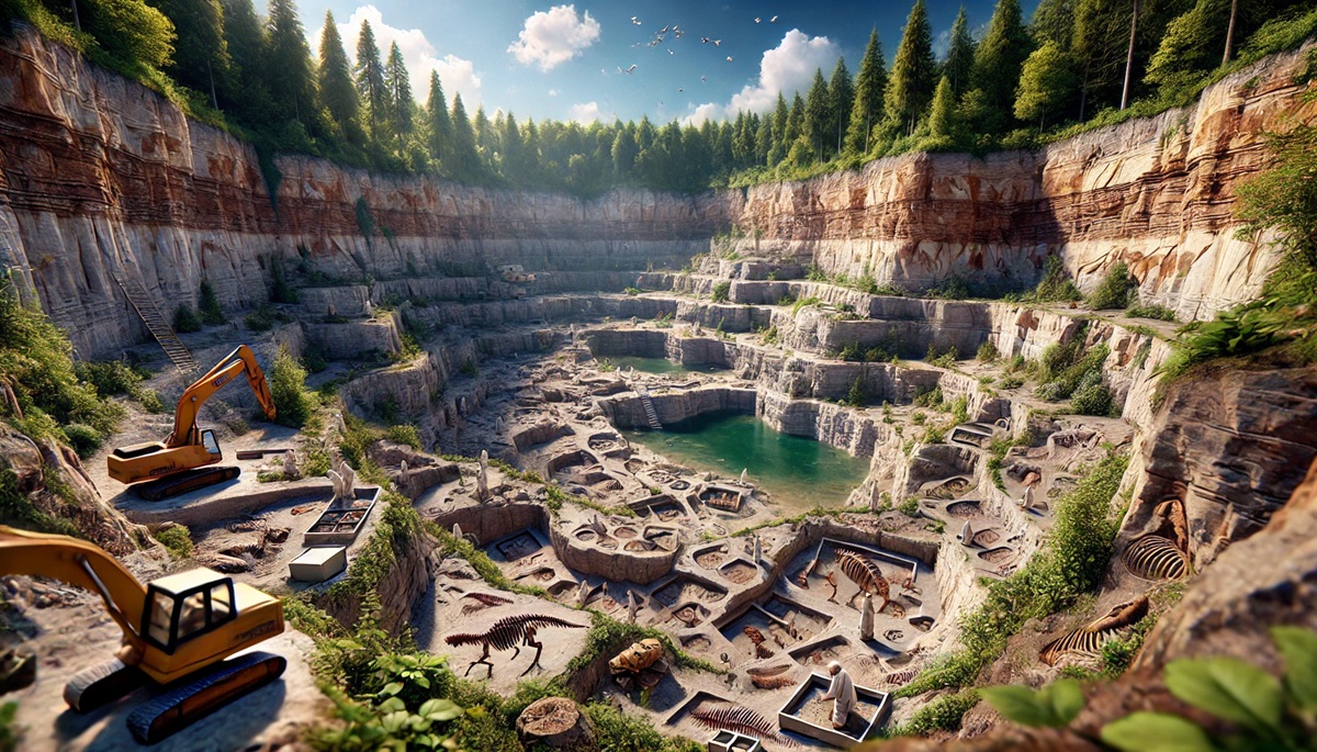
Fossil sites around the world have provided invaluable insights into the history of life on Earth, preserving ancient creatures and plants for millions of years. These locations, often discovered by paleontologists, have yielded extraordinary fossils that tell the story of our planet’s evolution. The following is a list of the top 10 most famous fossil sites, ordered by size, which have contributed significantly to our understanding of prehistoric life. These sites not only hold enormous scientific value but also fascinating histories and stories of discovery.
#1: The Messel Pit – 4.5 Acres
The Messel Pit, located in Germany, is one of the most famous and well-preserved fossil sites in the world. This UNESCO World Heritage Site is approximately 4.5 acres in size and is famous for its exceptionally well-preserved fossils that date back to around 47 million years ago, during the Eocene Epoch. The site was once an ancient lake, which created the perfect conditions for the preservation of plants and animals that fell into the water. Fossils of birds, fish, insects, reptiles, and even mammals have been discovered at Messel, with many of them being incredibly detailed, including soft tissues, feathers, and hair. One of the most remarkable finds was the fossil of a bat, a rare discovery that provided a significant insight into the evolution of flight. The site’s history dates back to the 19th century, when the first fossils were unearthed by local miners. Over time, the Messel Pit became one of the most important fossil locations in Europe, with ongoing excavations revealing more about life during the Eocene period. The site is also known for its rich diversity of prehistoric species, including early primates, and has become an invaluable research hub for paleontologists worldwide.
#2: The La Brea Tar Pits – 23 Acres
Located in the heart of Los Angeles, California, the La Brea Tar Pits cover an area of 23 acres and are one of the most famous and productive fossil sites in North America. The tar pits have been a source of fossils for over a century, and they offer a fascinating glimpse into life during the late Pleistocene Epoch, roughly 40,000 to 10,000 years ago. The site is well-known for the preservation of large mammals such as mammoths, saber-toothed cats, and dire wolves, along with many smaller animals like birds and reptiles. The tar pits themselves are natural asphalt deposits where ancient creatures became trapped, preserving their bones and remains over millennia. The tar is sticky and viscous, which helped to preserve a wide variety of fossils, many of which are incredibly complete and offer detailed information about the species. The La Brea Tar Pits have yielded more than 600 species of prehistoric animals, making it one of the most significant sites for Pleistocene fossils in the world. In addition to its scientific importance, the site has become a popular tourist destination, with ongoing excavation efforts continuing to uncover new discoveries. The discovery of the tar pits dates back to the 19th century when early settlers noticed bones protruding from the asphalt, and excavations have been ongoing since.

#3: The Dinosaur National Monument – 210,000 Acres
Spanning over 210,000 acres, the Dinosaur National Monument is located in both Colorado and Utah and is one of the largest and most famous fossil sites in the United States. This vast area is known for its rich deposits of Jurassic-era fossils, including dinosaur bones, footprints, and other ancient remains. The monument’s quarry, known as the Dinosaur Quarry, contains one of the largest and most complete fossil collections of dinosaurs, including famous species like Allosaurus, Stegosaurus, and Apatosaurus. The site has been the subject of paleontological research for over a century, with ongoing excavations revealing more about the creatures that roamed the Earth during the Mesozoic Era. In addition to dinosaurs, the site also contains fossils of ancient plants and invertebrates, providing a well-rounded picture of the ecosystem during the Jurassic period. The discovery of the fossils in the monument dates back to the early 20th century when paleontologist Earl Douglass made the first major discovery of dinosaur bones. Today, the Dinosaur National Monument serves as a popular tourist destination, with the Fossil Discovery Trail and the Quarry Exhibit Hall providing visitors with a chance to view the fossils in situ and learn more about the prehistoric past.
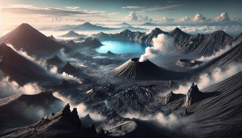
#4: The Gobi Desert – 500,000 Square Miles
The Gobi Desert in Mongolia covers an area of over 500,000 square miles and is one of the most important and expansive fossil sites in the world. Known for its rich deposits of Cretaceous-period fossils, the Gobi Desert has yielded some of the most significant dinosaur discoveries ever made. The site is particularly famous for the discovery of the first dinosaur eggs and the skeletons of species like Velociraptor, Protoceratops, and Oviraptor. The fossils found in the Gobi are often incredibly well-preserved, and the site provides crucial insights into the diversity of life during the late Cretaceous period. The Gobi Desert has been a focal point for paleontological research since the early 20th century when American paleontologist Roy Chapman Andrews led an expedition that uncovered many of the first dinosaur fossils in the region. The harsh, arid conditions of the desert have helped preserve these ancient remains, making the Gobi Desert one of the most scientifically valuable fossil sites in the world. The Gobi’s fossil beds continue to be explored today, with ongoing excavations adding to our understanding of prehistoric life in one of the most extreme environments on Earth.
#5: The Solnhofen Limestone – 100 Square Miles
The Solnhofen Limestone, located in southern Germany, covers an area of about 100 square miles and is famous for its exceptional preservation of fossils from the Late Jurassic period, around 150 million years ago. The site is most renowned for its detailed fossils of dinosaurs, early birds, and marine life, including the famous Archaeopteryx, the earliest known bird. The Solnhofen Limestone is a sedimentary rock formation that was once a shallow lagoon, providing ideal conditions for fossilization. The fine-grained limestone helped preserve even the most delicate features of organisms, including feathers, skin, and even soft tissues. The site has been a rich source of information about the evolution of flight and the early stages of bird development. Fossils from Solnhofen have been studied for over 150 years, with the discovery of Archaeopteryx in 1861 marking a pivotal moment in the history of paleontology. The site continues to yield valuable fossils and remains a key location for studying the Jurassic period.
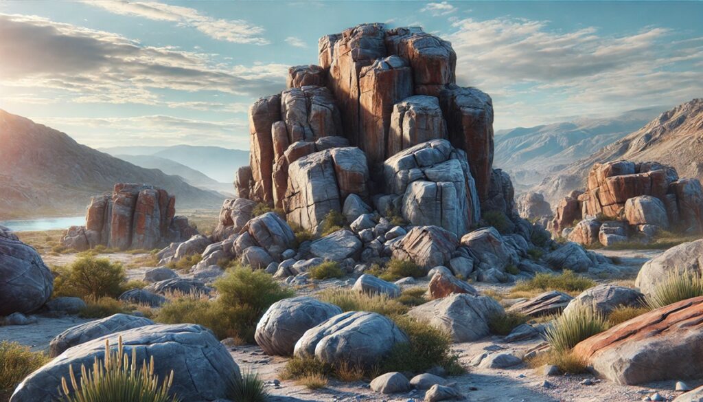
#6: The Burgess Shale – 1.2 Acres
Located in the Canadian Rockies in British Columbia, the Burgess Shale is a small site of just 1.2 acres but is one of the most significant fossil discoveries in the world. The site dates back to around 505 million years ago and is known for its exceptional preservation of early Cambrian life. The fossils found here provide a snapshot of one of the most important periods in the history of life on Earth, when complex multicellular organisms began to diversify. The site is famous for its diversity, with over 65,000 specimens representing hundreds of species, including early arthropods, worms, and other marine life. The Burgess Shale’s fossils are so well-preserved that they show not only hard parts like shells and exoskeletons but also soft tissues like muscles and organs. The site was first discovered in 1909 by Charles Doolittle Walcott, and it has since become one of the most studied fossil locations in the world. The Burgess Shale is now part of a UNESCO World Heritage Site and continues to provide valuable insights into early animal life.
#7: The Liang Bua Cave – 19,000 Square Feet
The Liang Bua Cave, located on the island of Flores in Indonesia, is a site of great archaeological and paleontological significance. Covering about 19,000 square feet, this cave is famous for the discovery of the remains of Homo floresiensis, often referred to as the “hobbit” due to its small stature. These hominid remains date back around 50,000 years and offer a glimpse into the existence of an ancient human species that lived alongside modern humans. The site also contains the remains of other prehistoric animals, including giant rats and dwarfed elephants, providing a unique perspective on the environment in which Homo floresiensis lived. The discovery of these remains in 2003 by a team of Indonesian and Australian researchers shocked the scientific community, as the existence of such a small human species was previously unknown. The Liang Bua Cave continues to be a focus of research, shedding light on the complexity of human evolution.
#8: The Karoo Basin – 200,000 Square Miles
Located in South Africa, the Karoo Basin spans around 200,000 square miles and is one of the most important fossil sites in Africa. This basin is rich in fossils from the Permian and Triassic periods, approximately 250 to 200 million years ago. The site has yielded numerous dinosaur fossils, as well as the remains of ancient reptiles, amphibians, and early mammals. The Karoo Basin is particularly significant for its wealth of fossils from the end-Permian mass extinction, offering insights into the recovery of life after one of Earth’s most catastrophic extinction events. The fossils found in the Karoo Basin have provided crucial information about the evolution of early dinosaurs and mammals. Excavations in the region have been ongoing for over a century, and the site continues to be an important research location for paleontologists.
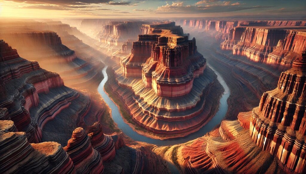
#9: The Ischigualasto Provincial Park – 170 Square Miles
Ischigualasto Provincial Park, also known as the Valley of the Moon, is located in northwestern Argentina and spans approximately 170 square miles. This site is known for its well-preserved fossils from the Triassic period, around 230 million years ago, and is home to some of the oldest known dinosaur fossils. The park is particularly famous for the discovery of fossils of early dinosaurs like Herrerasaurus and Eoraptor. The Ischigualasto formation provides crucial evidence of the transition from the Paleozoic to the Mesozoic Era, offering insights into the origins of dinosaurs. The park’s unique landscape, with its bizarre rock formations and lunar-like terrain, adds to its mystique, making it a popular destination for paleontologists and tourists alike.
#10: The Mazon Creek Fossil Beds – 80 Acres
Located in Illinois, the Mazon Creek Fossil Beds cover about 80 acres and are one of the most significant sites for fossilized plants and animals from the Pennsylvanian period, approximately 300 million years ago. The site is known for its rich deposits of marine and terrestrial life, including fish, amphibians, and insects, all preserved in ironstone concretions. The Mazon Creek fossils provide an unparalleled look at life during the Carboniferous period, showcasing the incredible biodiversity of the time. The site has been studied for over a century, with ongoing excavations continuing to uncover new species. The Mazon Creek Fossil Beds are recognized as a National Natural Landmark and are a key resource for understanding prehistoric ecosystems.
These fossil sites represent some of the most important locations in the world for understanding the history of life on Earth. From the lush ancient lakes of the Messel Pit to the arid deserts of the Gobi, each site has contributed invaluable knowledge to the scientific community. Their rich fossil deposits continue to reveal new insights into the evolution of life, offering a glimpse into the past that shapes our understanding of the present. As paleontologists continue to explore and study these sites, the story of life on Earth continues to unfold, one fossil at a time.