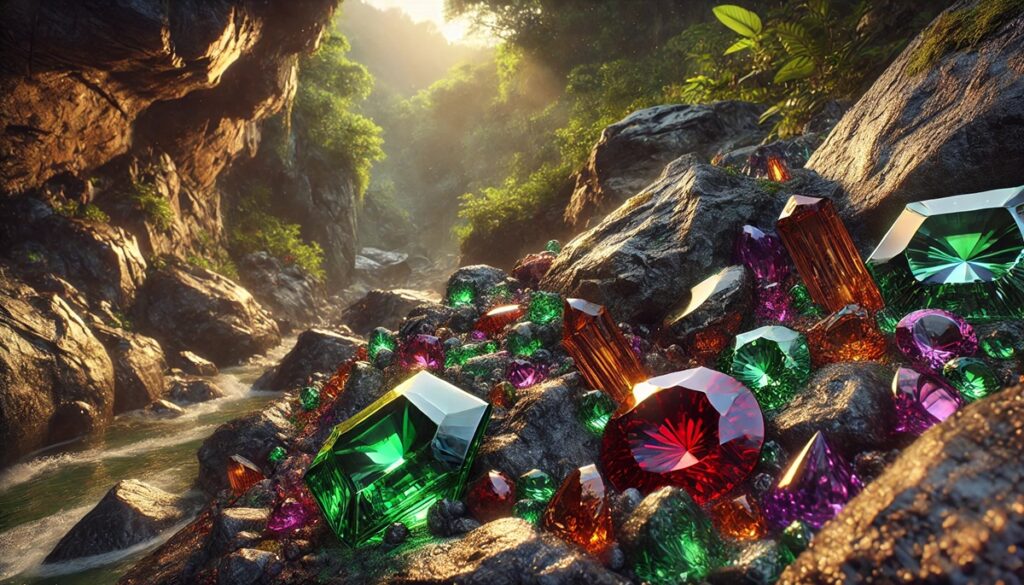
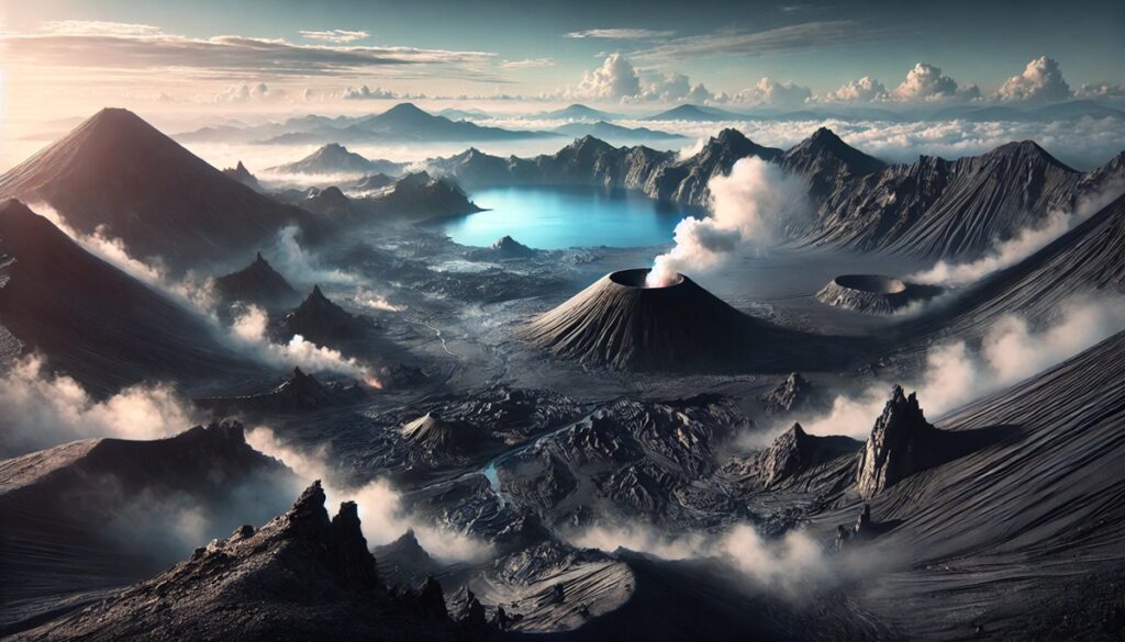
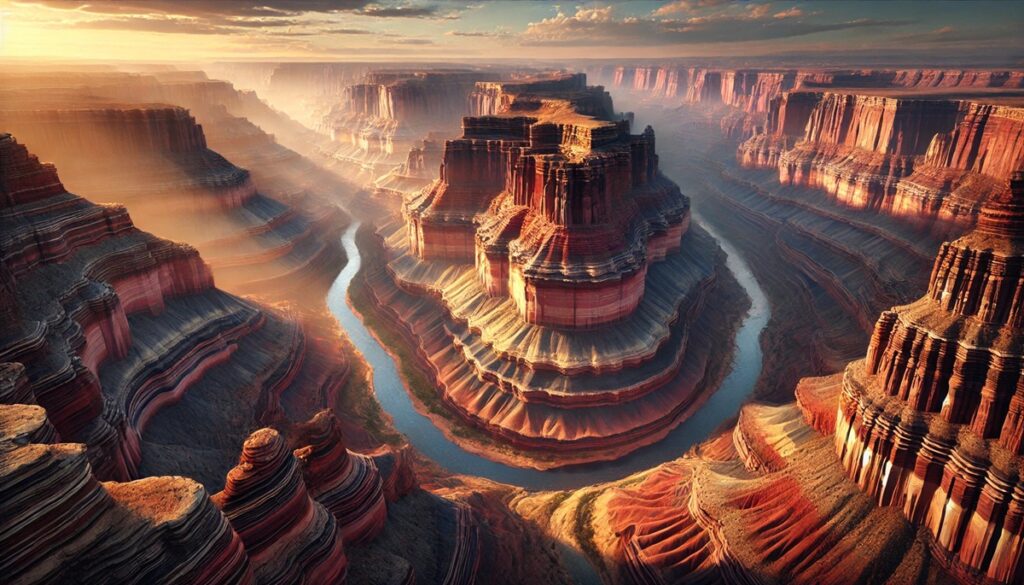
Rocks and maps are the storytellers of Earth’s vast and complex history, weaving a narrative that spans billions of years and countless landscapes. Imagine a map, not just a flat representation of roads and borders, but a vibrant tapestry where every fold and contour is a whisper from the past, etched in stone. Rocks, those seemingly unassuming fragments of the Earth’s crust, are the keys that unlock these whispers, carrying with them the tales of fiery volcanic births, the grinding sculpting power of glaciers, and the quiet layering of sediments under ancient seas. When paired with maps, they transform into a treasure hunt, guiding geologists and adventurers alike to sites where mysteries of the Earth await discovery. Each shaded topographic line becomes a clue, each rocky outcrop a piece of evidence in the puzzle of time. Together, rocks and maps teach us not just about what lies beneath our feet but also about the interconnectedness of our planet’s surface, from mountain peaks to ocean trenches, revealing patterns and pathways that have shaped civilizations and ecosystems. In their union, they remind us of our place in the grand, ever-changing story of Earth.

Earth’s crust holds a remarkable geological history, embedded in rocks that date back billions of years. These ancient formations are not only a confirmation to Earth’s origins but also reveal significant details about the planet’s early environment and conditions. From vast bedrock formations to isolated mineral grains, each rock on this list has its unique story. Below, we dive into the ten oldest rocks, exploring their size, locations, and the fascinating histories they carry.
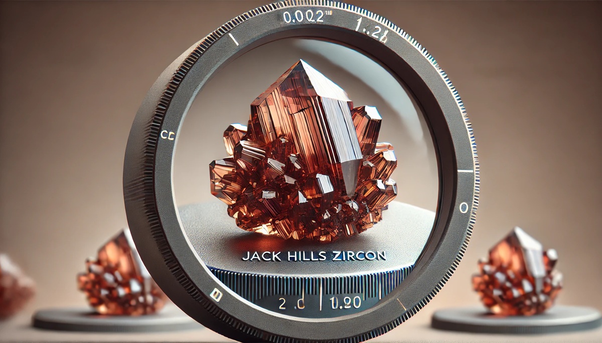
#1: Jack Hills Zircon (0.002 inches)
The Jack Hills zircon crystals, measuring just about 0.002 inches, are the oldest known terrestrial materials, dating back approximately 4.4 billion years. These minuscule crystals are found in the Jack Hills region of Western Australia, embedded within younger sedimentary rocks. Despite their small size, they hold immense significance as they predate the formation of much of Earth’s crust. Scientists believe the zircon crystals formed during an era when Earth was a molten mass, gradually cooling to form solid land. These zircons provide valuable insights into early Earth’s conditions, suggesting the presence of liquid water billions of years ago. Their discovery revolutionized our understanding of the planet’s timeline. A local anecdote describes how these crystals were initially overlooked until a persistent geologist reexamined their potential, making one of the most significant geological discoveries of the 20th century.
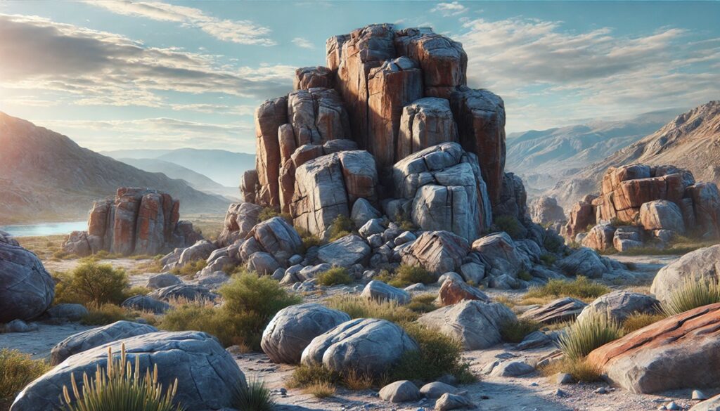
#2: Acasta Gneiss (12 miles wide)
The Acasta Gneiss, stretching over an area of approximately 12 miles in width, is located in Canada’s Northwest Territories along the banks of the Acasta River. At around 4.03 billion years old, this rock formation is widely considered one of the oldest exposed pieces of Earth’s crust. It is composed mainly of granitic and metamorphic materials, with its distinct layered appearance shaped by intense pressure and heat. The Acasta Gneiss tells a story of relentless geological transformation, providing a glimpse into the processes that shaped the early Earth. Locals share tales of early explorers marveling at the rock’s resilience, with some pieces even mistaken for meteorites due to their ancient origins and weathered appearance.

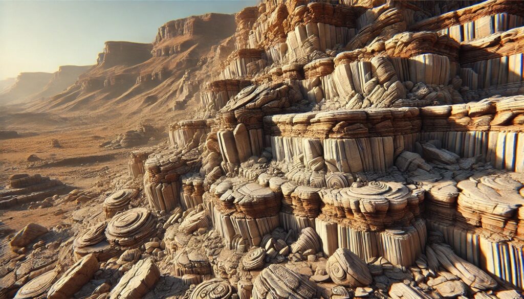
#3: Nuvvuagittuq Greenstone Belt (40 miles long)
The Nuvvuagittuq Greenstone Belt, measuring approximately 40 miles in length, lies on the eastern shores of Hudson Bay in northern Quebec, Canada. Estimated to be 4.28 billion years old, this greenstone belt comprises metamorphic rocks rich in iron and magnesium, offering a unique window into the early Earth’s crustal composition. Its layered appearance has been likened to a geological record book, with bands representing distinct time periods. The region’s isolation adds to its mystique, with indigenous legends attributing the rocks’ endurance to ancient spirits. Scientific expeditions often recount the challenges of navigating its rugged terrain, making the discoveries there even more rewarding.
#4: Isua Greenstone Belt (37 miles long)
The Isua Greenstone Belt in southwestern Greenland spans approximately 37 miles and is thought to be over 3.8 billion years old. Composed mainly of volcanic and sedimentary rocks, it is renowned for containing some of the earliest evidence of life on Earth—traces of carbon that may have originated from microorganisms. This formation has captivated geologists for decades, with some referring to it as a “Rosetta Stone” for early Earth studies. Stories from local guides highlight the difficulty of accessing this remote site, with some researchers facing extreme weather and treacherous glaciers to collect samples.
#5: Narryer Gneiss Terrane (40,000 square miles)
Covering a vast area of approximately 40,000 square miles in Western Australia, the Narryer Gneiss Terrane contains rocks that date back 3.6 to 4 billion years. This formation is part of the Yilgarn Craton and is notable for its granitic composition and the presence of ancient zircon crystals. Its immense size and age make it a cornerstone of early geological research. The sheer scale of the terrane has led to tales of explorers becoming disoriented while mapping its expanse, adding an air of adventure to its scientific significance.
#6: Barberton Greenstone Belt (37 miles long)
Located in South Africa and Eswatini, the Barberton Greenstone Belt spans about 37 miles and is 3.5 billion years old. This formation, often referred to as the “Genesis of Life,” contains some of the oldest microfossils, providing crucial evidence of early life on Earth. Its greenish hue comes from iron-rich minerals, which have become a symbol of its ancient origins. Local miners have shared stories of discovering unusual rock patterns and fossil-like structures, sparking initial curiosity that led to groundbreaking scientific findings.
#7: Pilbara Craton (70,000 square miles)
The Pilbara Craton in Western Australia covers an enormous area of 70,000 square miles and is about 3.5 billion years old. This ancient crustal fragment is renowned for its well-preserved stromatolites, layered structures created by early microbial life. The Pilbara Craton is often compared to Mars due to its barren, rocky landscape, making it a favored site for astrobiological studies. Anecdotes from researchers describe their awe upon finding stromatolites that perfectly mirrored those in modern shallow waters, highlighting Earth’s biological continuity.
#8: Superior Craton (600,000 square miles)
Spanning an astounding 600,000 square miles across parts of Canada and the United States, the Superior Craton is around 3 billion years old. It forms a significant portion of North America’s ancient bedrock and includes iron-rich deposits that have fueled mining industries for decades. The craton’s vastness has inspired countless local legends, with miners and geologists recounting tales of discovering unusual minerals and fossils in its depths.
#9: Yilgarn Craton (130,000 square miles)
The Yilgarn Craton, covering 130,000 square miles in Western Australia, is about 2.9 billion years old. This geological formation is a key part of the region’s mining industry, containing significant gold and nickel deposits. Its ancient rocks have been sculpted by billions of years of erosion, resulting in dramatic landscapes that attract both scientists and tourists. Stories from the gold rush era recount prospectors marveling at the craton’s rugged beauty and untapped potential.
#10: Wyoming Craton (200,000 square miles)
The Wyoming Craton, covering 200,000 square miles across parts of the western United States, is around 2.8 billion years old. It is part of the North American cratonic core and is renowned for its rich deposits of diamonds and other precious minerals. The craton’s history includes ancient volcanic activity that brought diamonds to the surface, sparking a mining boom in the region. Anecdotes from early settlers describe their astonishment at the glittering rocks embedded in the landscape, giving rise to a rich mining legacy.
These ancient rocks are more than geological formations—they are stories carved in stone, preserving Earth’s earliest chapters. Studying them not only unravels the mysteries of our planet’s origins but also deepens our appreciation for its incredible history and resilience. Each formation serves as a time capsule, reminding us of the vast and complex journey Earth has undergone over billions of years. The enduring presence of these ancient formations is a confirmation to the power of nature’s forces and the wealth of knowledge locked within our planet’s rocky depths.