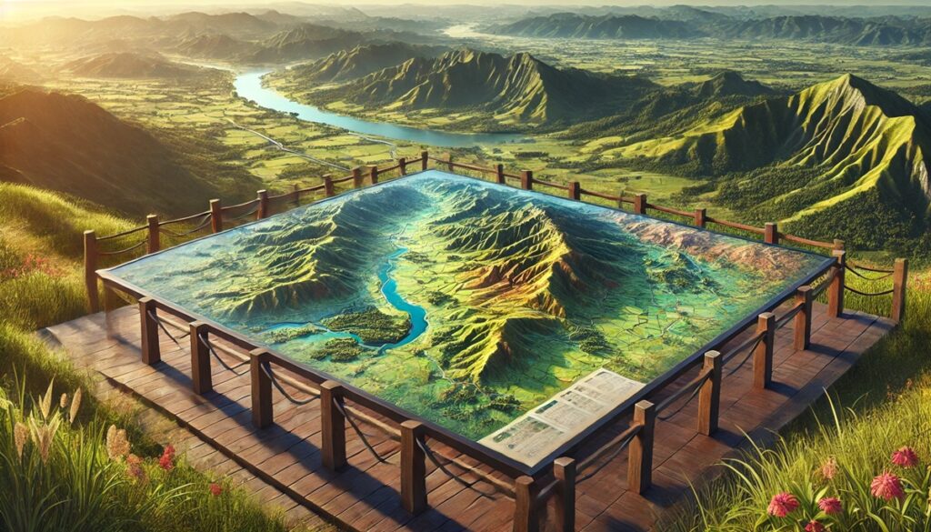
Drainage basins and maps are intricately connected, each one a reflection of the landscape’s power to shape both the environment and human activity. A map of a drainage basin is not just a geographical depiction; it’s a story etched in topography, a narrative of how water courses through the land, bringing life and transformation. The boundaries of a drainage basin are defined by the highest points in the landscape, called watersheds, where rainwater flows downhill, converging into rivers, lakes, or oceans. These boundaries are not rigid lines but dynamic forces, constantly reshaped by natural elements such as rainfall, erosion, and climate shifts. Maps capture this ever-evolving process, tracing the paths of rivers and streams as they wind through valleys, cutting through forests and mountains, or meandering across plains. They reveal how every drop of water on the land has a destination, following an intricate network of waterways that nourishes the ecosystems and communities it touches. But these maps are also a tool for understanding the delicate balance of water systems. For scientists, environmentalists, and city planners, drainage basin maps are crucial for managing water resources, predicting floods, and planning for sustainable development. They help identify where water scarcity or excess may occur, guiding decisions on agriculture, urban planning, and conservation efforts. A map of a drainage basin is a representation of both natural beauty and the intricate web of interconnectedness that sustains life on Earth. It tells of ancient rivers that carved valleys and modern systems that provide water for millions. As climate change, deforestation, and urban expansion continue to alter these systems, maps remain an essential tool in understanding and protecting the watersheds that are vital to our survival. Through maps, we can see how water shapes our world and how we, in turn, shape the water systems that sustain us.

South America is home to some of the largest and most diverse drainage basins in the world, with rivers that span vast regions and support countless ecosystems and human populations. These basins provide essential resources such as water, food, and transportation, and are integral to the continent’s biodiversity and economy. Below is a list of the top 10 drainage basins in South America, each with its unique geographical significance, ecological value, and cultural importance.
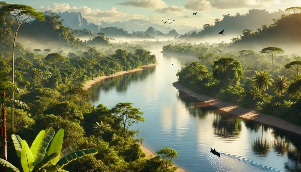
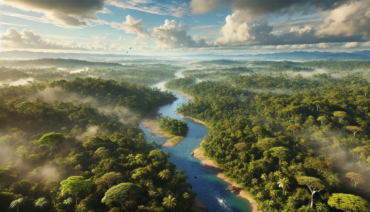
#1: The Amazon River Basin – 2,700,000 square miles
The Amazon River Basin is by far the largest and most significant drainage basin in South America, covering approximately 2,700,000 square miles. It is the largest river basin in the world and drains most of the northern portion of South America, including parts of Brazil, Peru, Colombia, Venezuela, Ecuador, Bolivia, Guyana, Suriname, and French Guiana. The basin is dominated by the mighty Amazon River, which is the longest river in South America and the second-longest in the world. The Amazon Basin supports the world’s largest tropical rainforest, home to a staggering array of biodiversity, including countless species of plants, animals, and insects. The basin plays a crucial role in regulating the global climate, producing 20% of the world’s oxygen and acting as a vital carbon sink. The Amazon River itself is vital for transportation, food, and livelihoods, supporting millions of people who rely on its waters.
#2: The Paraná River Basin – 1,100,000 square miles
The Paraná River Basin covers approximately 1,100,000 square miles, draining a large portion of southern South America, including parts of Brazil, Paraguay, and Argentina. The Paraná River is one of the longest rivers on the continent and forms part of the La Plata River Basin. The basin is characterized by diverse ecosystems, from tropical rainforests to temperate wetlands. The Paraná River is a vital source of water for agriculture, providing irrigation for large-scale farming operations. It is also an important transportation route for goods and people in the region. The Paraná Basin is home to the world-famous Iguazu Falls, one of the largest and most impressive waterfalls in the world, which adds to the basin’s ecological and tourist value.
#3: The Orinoco River Basin – 880,000 square miles
The Orinoco River Basin covers an area of 880,000 square miles, primarily in Venezuela and parts of Colombia. The Orinoco River is one of South America’s longest rivers, flowing through a diverse range of ecosystems, from tropical forests to savannas and wetlands. The basin is home to many unique species, including the Orinoco crocodile, manatees, and a wide variety of fish species. The Orinoco River also plays an essential role in the region’s transportation and commerce, with its waters serving as a critical route for trade in the Venezuelan and Colombian plains. The Orinoco Basin also holds cultural significance, as it is the homeland of several indigenous tribes that have lived along its banks for centuries.
#4: The São Francisco River Basin – 640,000 square miles
The São Francisco River Basin, located primarily in Brazil, covers approximately 640,000 square miles. The São Francisco River is one of Brazil’s most important rivers, flowing from the southeastern region of the country to the northeast, where it drains into the Atlantic Ocean. The basin serves as a critical water source for millions of people and supports agriculture in Brazil’s arid northeast, an area often prone to droughts. The São Francisco River is also central to Brazilian cultural history, having served as a vital trade and transportation route for centuries. The basin features a unique semi-arid ecosystem known as the Caatinga, characterized by dry forests and scrublands.
#5: The Magdalena River Basin – 250,000 square miles
The Magdalena River Basin, located in Colombia, covers approximately 250,000 square miles. The Magdalena River is the longest and most important river in Colombia, flowing north from the Andes Mountains to the Caribbean Sea. The basin supports diverse ecosystems, from mountainous forests to lowland wetlands. The Magdalena River is crucial for Colombian agriculture, providing irrigation for crops such as coffee, sugarcane, and bananas. The river is also an important transportation route, particularly for the movement of goods from Colombia’s interior to the coast. Historically, the river played a central role in the development of Colombia’s trade and economy.
#6: The Tocantins-Araguaia River Basin – 470,000 square miles
The Tocantins-Araguaia River Basin, located in Brazil, covers about 470,000 square miles. It is formed by two major rivers, the Tocantins and Araguaia, which flow through the Brazilian states of Goiás, Tocantins, and Maranhão. The basin is home to diverse ecosystems, including wetlands, tropical forests, and savannas, providing habitats for numerous species of wildlife. The Tocantins-Araguaia Basin plays an important role in Brazil’s economy, supporting agriculture, hydroelectric power generation, and fisheries. The basin is also significant culturally, as it has been inhabited by indigenous peoples for centuries.
#7: The Paraguay River Basin – 500,000 square miles
The Paraguay River Basin, covering 500,000 square miles, spans across Brazil, Bolivia, Paraguay, and Argentina. The Paraguay River, which runs through the basin, is a major waterway in South America, flowing southward into the Paraná River. The basin is vital for the region’s agriculture, particularly in Paraguay, where it supports crops like soybeans, wheat, and cotton. The Paraguay River also serves as an important transportation route for goods, including grains and timber, which are exported to international markets. The basin is home to a wide variety of wildlife, including jaguars, capybaras, and numerous bird species, making it ecologically significant.
#8: The Guaporé River Basin – 150,000 square miles
The Guaporé River Basin, located in the western part of Brazil, covers approximately 150,000 square miles. The Guaporé River forms part of the border between Brazil and Bolivia. The basin is primarily covered by tropical forests and wetlands, supporting diverse wildlife, including many species of fish, amphibians, and birds. The Guaporé River is an essential water source for local populations and plays an important role in the economy of the region, particularly in agriculture and fishing. The basin is also known for its biodiversity and is considered one of the most ecologically rich areas in South America.
#9: The Paraná-Paraguay River Basin – 1,000,000 square miles
The Paraná-Paraguay River Basin covers about 1,000,000 square miles, draining large parts of Argentina, Paraguay, and Brazil. The Paraná-Paraguay river system is crucial for trade and transportation, linking several countries and facilitating the movement of goods. The basin is home to some of the most fertile agricultural lands in South America, producing crops such as soybeans, corn, and wheat. The basin also contains the Pantanal, the world’s largest tropical wetland, which is one of the most biodiverse areas on Earth.
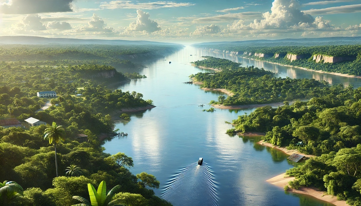
#10: The Amazon River Basin (Brazilian Section) – 2,100,000 square miles
The Brazilian section of the Amazon River Basin covers about 2,100,000 square miles, representing the largest part of the entire Amazon Basin. This area is characterized by its dense rainforests and unparalleled biodiversity. The basin supports not only Brazil’s agricultural economy but also provides important resources such as timber, fisheries, and minerals. The Amazon River itself is essential for transportation, providing access to remote regions of Brazil. As the global rainforest, the Brazilian Amazon is vital to carbon storage and combating climate change.
South America’s drainage basins represent the lifeblood of the continent, supporting diverse ecosystems, economies, and millions of people. From the mighty Amazon Basin to the smaller, yet equally important, rivers like the Paraguay and Guaporé, these river systems shape the land and influence the lives of all who depend on them. As South America continues to face the challenges of climate change, deforestation, and water management, the preservation and management of these vital drainage basins will remain a priority for the future.