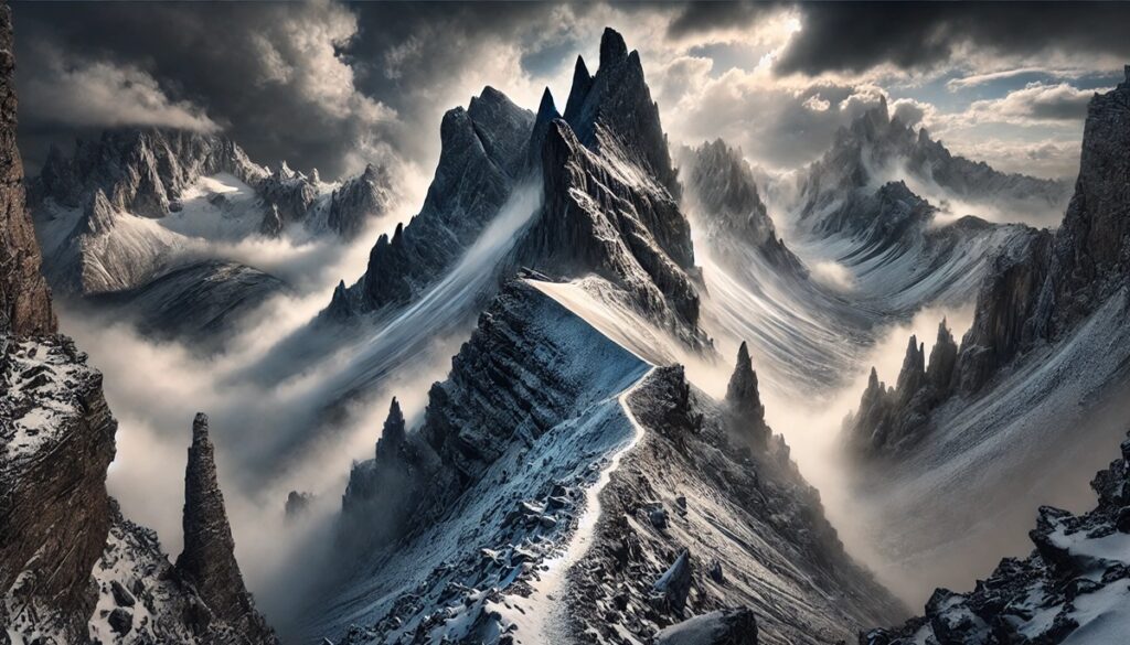
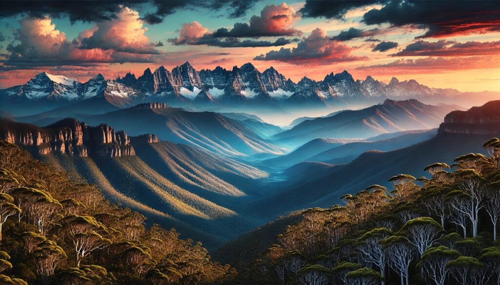
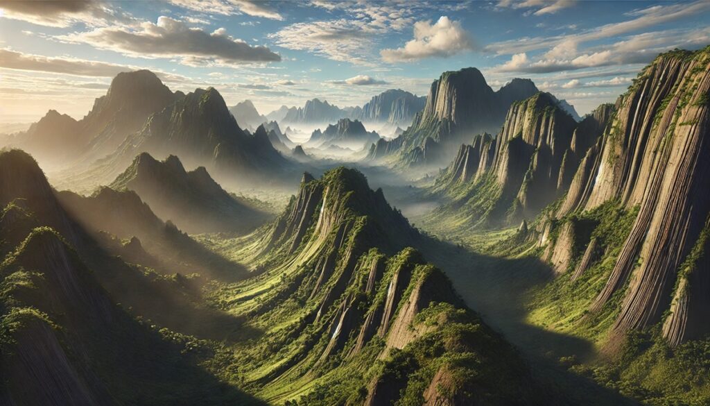
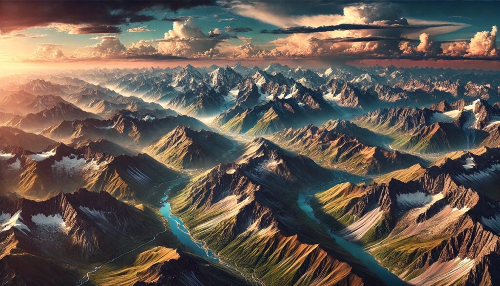
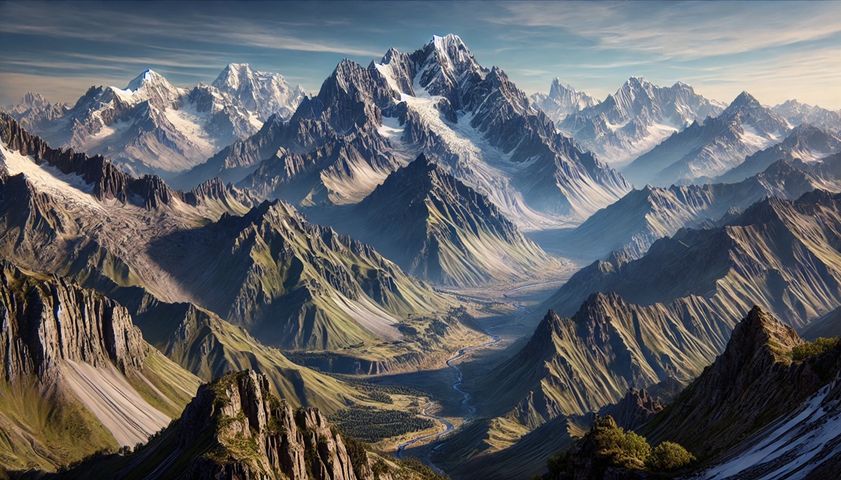
Mountains and maps are the twin threads of adventure, weaving together the allure of the unknown and the tools to explore it. Mountains rise like monumental signatures of Earth’s untamed spirit, their peaks brushing the heavens while their roots delve into ancient, fiery depths. Maps, with their intricate lines and symbols, are whispers of promise, guiding the seeker through valleys, ridges, and trails that crisscross these colossal giants. Together, they form a narrative of challenge and discovery—a visual story of heights to conquer and paths yet traveled. A map in hand is an invitation, a silent dare to traverse the folds of terrain it humbly translates. Each contour line holds the rhythm of the land, echoing the symphony of nature’s triumph over time. Meanwhile, the mountains stand stoic, testing both the resolve of the climber and the accuracy of the cartographer. Between their peaks and paper lies a timeless relationship, where imagination meets geography, and each ascent etches new memories onto the ever-evolving canvas of exploration.

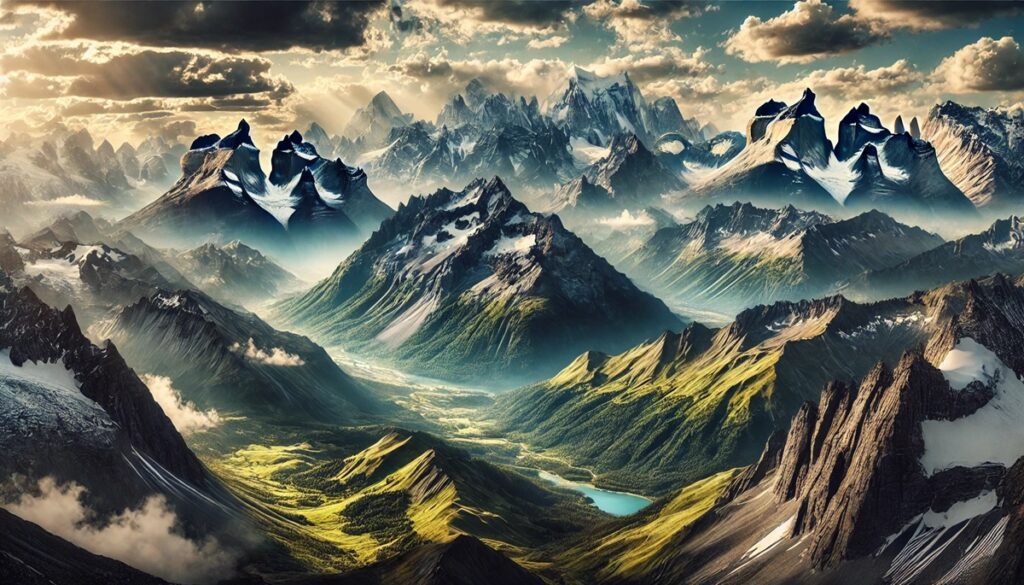
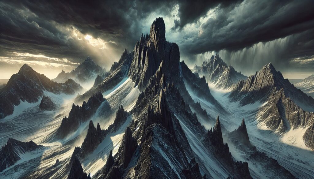
Volcanic mountain ranges are among the most captivating natural formations on Earth. Shaped by the intense forces of the planet’s interior, these ranges tell the story of Earth’s fiery past and dynamic present. They are often home to rich ecosystems, unique geological formations, and vibrant cultures that thrive around them. Below, we explore the top 10 volcanic mountain ranges, ranked by size, diving into their history, location, fascinating facts, and the anecdotes that make them truly remarkable.
#1: Andes Mountains (4,300 miles)
The Andes Mountains, stretching over 4,300 miles along South America’s western edge, are the world’s longest volcanic mountain range. This range spans seven countries, including Argentina, Chile, Peru, and Colombia. Dominated by towering peaks like Mount Aconcagua, the Andes are a product of tectonic collisions and ongoing volcanic activity. The range houses over 100 active and dormant volcanoes, such as Cotopaxi in Ecuador and the famous stratovolcano, Mount Chimborazo. A fascinating fact is that Chimborazo’s summit is the farthest point from Earth’s core due to the planet’s equatorial bulge.
Rich with history, the Andes were home to the Inca Empire, whose intricate road systems and terraced farming are still visible today. Legends abound, like the tale of the volcano Tungurahua, which locals believe awakens in anger when nearby villagers disrespect the land. The Andes are also crucial for biodiversity, featuring ecosystems ranging from tropical rainforests to high-altitude deserts.
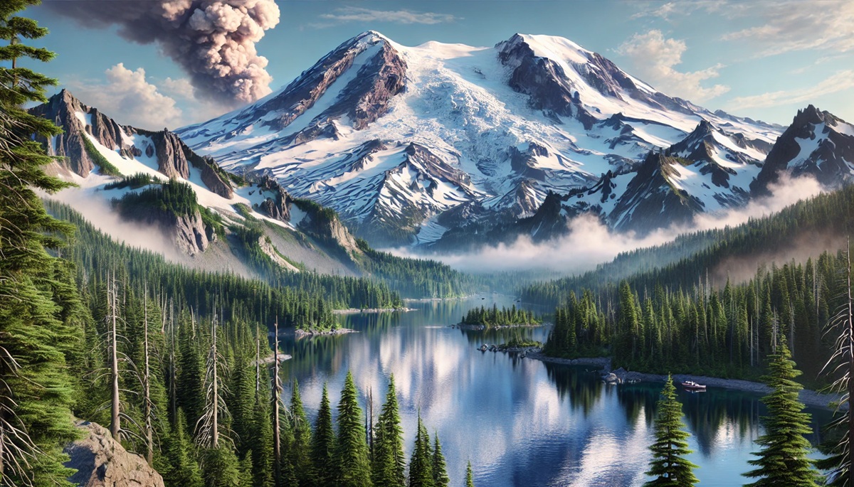
#2: Cascades Range (700 miles)
The Cascade Range, spanning approximately 700 miles across the western United States and Canada, is a major volcanic arc of the Pacific Ring of Fire. Notable peaks include Mount Rainier, Mount St. Helens, and Mount Baker. Mount Rainier, the tallest at 14,411 feet, looms over Seattle and is considered one of the most dangerous volcanoes due to its massive glaciers and potential for lahars.
Mount St. Helens’ 1980 eruption remains one of the most catastrophic volcanic events in U.S. history, dramatically reshaping the surrounding landscape and becoming a symbol of nature’s power. The Cascades are also home to numerous hot springs and serve as a hub for outdoor recreation, drawing hikers, skiers, and climbers year-round.
#3: Aleutian Range (1,200 miles)
The Aleutian Range arcs along Alaska’s southern coast and extends into the Aleutian Islands, covering over 1,200 miles. This remote volcanic chain features Mount Redoubt, Mount Katmai, and the famous Novarupta, whose 1912 eruption was one of the largest in recorded history. Interestingly, the eruption created the Valley of Ten Thousand Smokes, a surreal landscape of fumaroles and ash deposits.
The Aleutians are a haven for wildlife, with seabird colonies, marine mammals, and vibrant ecosystems. Indigenous Aleut communities have lived in harmony with these fiery mountains for centuries, weaving their volcanic environment into legends and survival strategies.
#4: Alaska Range (400 miles)
The Alaska Range, though not exclusively volcanic, includes several volcanic features, such as Mount Wrangell. This 400-mile range is home to Denali, North America’s tallest peak at 20,310 feet. The range is a geological marvel, showcasing glacial valleys and rugged peaks shaped by ancient volcanic and tectonic activity.
Adventure stories abound, such as the first ascent of Denali in 1913 by a team braving extreme conditions. The Alaska Range is not only a climber’s paradise but also a cultural treasure, with indigenous stories attributing spiritual significance to its peaks.
#5: Kamchatka Range (800 miles)
The Kamchatka Range in Russia spans about 800 miles and boasts over 300 volcanoes, 29 of which are active. The most famous is Klyuchevskaya Sopka, the tallest active volcano in Eurasia at 15,584 feet. This rugged range is part of the Pacific Ring of Fire and features geysers, hot springs, and vast wilderness.
The Kamchatka Peninsula remains largely unspoiled by human activity, offering a glimpse into Earth’s raw beauty. Stories from explorers describe encounters with bubbling mud pots and steaming craters, while local legends speak of fire spirits inhabiting the volcanoes.
#6: Central American Volcanic Arc (700 miles)
The Central American Volcanic Arc stretches for 700 miles through Guatemala, El Salvador, Honduras, Nicaragua, Costa Rica, and Panama. Peaks like Tajumulco in Guatemala and Poás in Costa Rica dominate the skyline. The region’s volcanic activity has shaped its fertile soil, enabling rich agriculture.
The arc is steeped in history, from Mayan ruins near volcanic sites to modern cities thriving in the shadow of active volcanoes. A notable anecdote involves the 1902 eruption of Santa María, which reshaped the landscape and continues to influence local culture.
#7: Ethiopian Highlands (620 miles)
The Ethiopian Highlands, often called the “Roof of Africa,” span over 620 miles. This range includes the Simien Mountains and several volcanic formations, such as Erta Ale, a continuously active lava lake. The highlands are a cradle of human civilization, home to ancient rock-hewn churches and one of the earliest sites of coffee cultivation.
Interesting tales from the region include the long-standing tradition of church-building on volcanic plateaus, a confirmation to the interplay of natural and cultural history.
#8: Japanese Archipelago (1,900 miles)
Japan’s volcanic range stretches across 1,900 miles, with iconic peaks like Mount Fuji standing as cultural and spiritual symbols. The range is part of the Pacific Ring of Fire and hosts numerous active volcanoes, including Mount Aso and Sakurajima. The volcanic soil has enriched agriculture, particularly rice farming.
Mount Fuji, revered in Japanese culture, has inspired countless works of art and literature. A fascinating anecdote is the pilgrimage tradition, with climbers scaling its slopes to watch the sunrise from the summit, known as “Goraiko.”
#9: Taupo Volcanic Zone (250 miles)
New Zealand’s Taupo Volcanic Zone spans 250 miles and includes active volcanoes like Mount Ruapehu and White Island. The region is one of the most geothermally active on Earth, with geysers, mud pools, and hot springs dotting the landscape.
The Maori people have rich legends about the area, including stories of fiery battles between volcanic deities. Modern visitors are drawn to its geothermal wonders and the Tongariro Alpine Crossing, a world-renowned hiking trail.
#10: Great Rift Valley (3,700 miles)
The Great Rift Valley spans 3,700 miles, crossing multiple continents, but its volcanic features are most prominent in East Africa. Notable volcanoes include Mount Kilimanjaro and Mount Kenya. These peaks are iconic, drawing climbers and adventurers from around the globe.
Legends of Kilimanjaro, such as its role as a resting place for gods, add to its allure. The range’s volcanic activity has also created unique ecosystems, supporting rare wildlife like the Ethiopian wolf and endemic plant species.
Volcanic mountain ranges are more than geological formations; they are storied landscapes that inspire awe and curiosity. From the towering Andes to the mystic Japanese peaks, these ranges shape cultures, challenge adventurers, and remind us of Earth’s dynamic nature. Exploring their history, natural beauty, and cultural significance reveals the profound connection between humanity and these fiery giants.