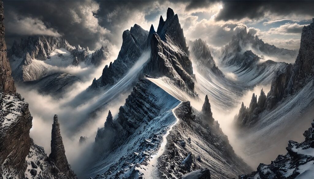
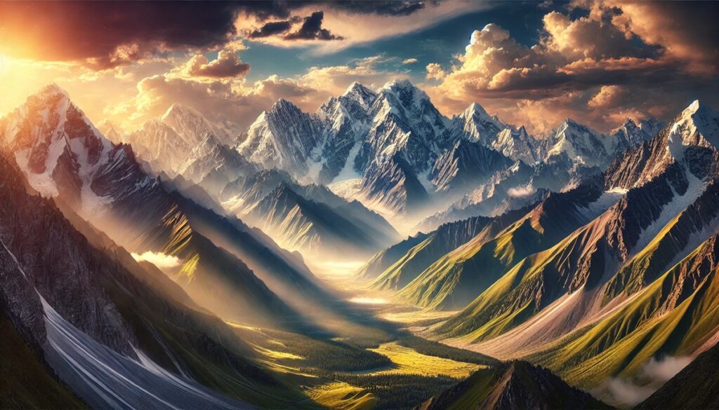
Mountains and maps are twin symbols of adventure, mystery, and the boundless human desire to explore. Mountains rise like nature’s monuments, their jagged peaks piercing the sky, whispering stories of ancient tectonic upheavals and the relentless artistry of erosion. Each ridge, valley, and summit carries the weight of time, a confirmation to Earth’s ever-changing face. Maps, in turn, are the keys to understanding these towering giants, guiding us through their winding trails, hidden passes, and forgotten corners. A map transforms a mountain from an untamed enigma into an attainable dream, its lines and contours mirroring the curves of the land. Yet, maps are more than tools; they are promises of discovery, daring us to chart our own paths into the wild unknown. Together, mountains and maps stir the soul, inviting adventurers to scale new heights, find unmarked trails, and uncover secrets that lie just beyond the next ridge\u2014proof that the journey, as much as the destination, is where the magic lives.

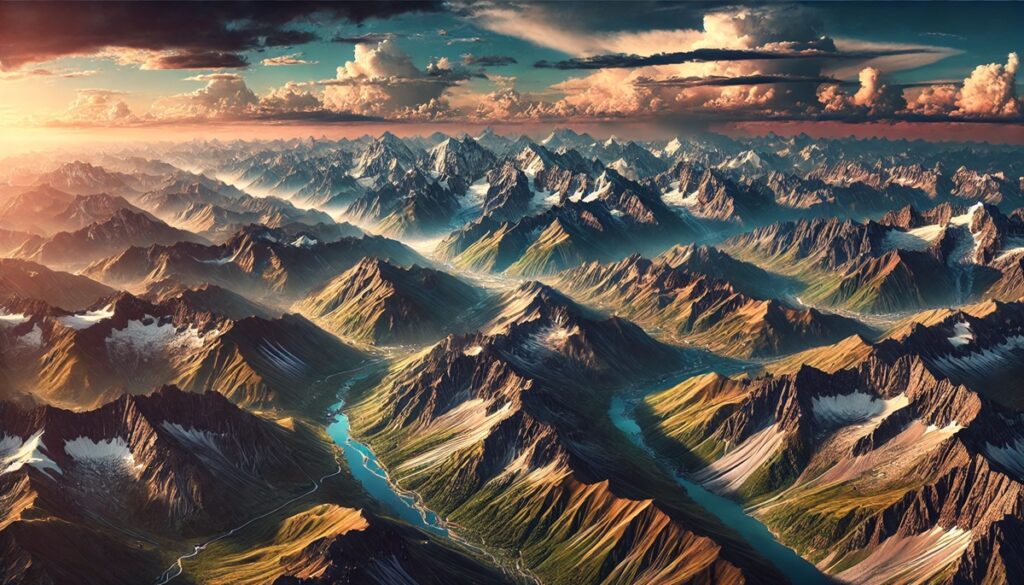
Mountains have stood as timeless monuments on Earth, shaping civilizations, influencing climates, and inspiring awe across generations. Among these towering natural wonders, some ranges predate human history by hundreds of millions of years, bearing witness to the planet’s geological transformations. The oldest mountain ranges in the world tell tales of ancient tectonic activity, erosion, and enduring natural beauty. In this exploration of the top 10 oldest mountain ranges, we dive into their origins, unique features, and fascinating histories.
#1: Appalachian Mountains – 2,000 miles
Stretching from Newfoundland, Canada, to Alabama in the United States, the Appalachian Mountains span approximately 2,000 miles, making them one of the longest ancient mountain ranges in the world. These mountains formed about 480 million years ago during the Ordovician period when tectonic collisions created a supercontinent known as Pangaea. Despite their immense age, the Appalachians have been significantly eroded, resulting in their current modest heights compared to younger ranges like the Rockies.
These mountains are renowned for their rolling green ridges, deep valleys, and dense forests. The Appalachian Trail, a famous 2,190-mile hiking route, attracts adventurers from around the globe. One fascinating anecdote tells of Earl Shaffer, the first person to thru-hike the trail in 1948, who set out to “walk off the war” after returning from World War II. The mountains’ rich biodiversity and historical significance, including their role as a frontier barrier during early American colonization, make them a treasure trove of natural and cultural heritage.
#2: Ural Mountains – 1,550 miles
The Ural Mountains stretch approximately 1,550 miles from the Arctic Ocean to Kazakhstan, forming the natural boundary between Europe and Asia. This ancient range, over 300 million years old, emerged during the collision of the Eurasian and Siberian tectonic plates. Its weathered peaks and rounded summits contrast with its dramatic history, which includes being a vital source of minerals and ores.
The Urals are rich in folklore and mythology, including tales of the Shigir Idol, a wooden statue over 11,000 years old found in the region, making it the world’s oldest known monumental sculpture. Visitors are drawn to the Urals for their mineral wealth, scenic beauty, and unique geology. The “Golden Mountains of Altai,” a UNESCO World Heritage Site, are part of the range, showcasing ancient petroglyphs and burial mounds.
#3: Scandinavian Mountains – 1,100 miles
The Scandinavian Mountains, stretching 1,100 miles across Norway, Sweden, and Finland, are the product of tectonic activity dating back 400 million years. These peaks once rivaled the Himalayas in height but have been shaped over millennia by glacial erosion, creating the fjords and valleys that define the region today.
This range is home to the highest peak in northern Europe, Galdhøpiggen, standing at 8,100 feet. It’s a popular destination for mountaineers and nature lovers, offering breathtaking views and a chance to experience the midnight sun in summer. A fascinating story from this range involves the Sami people, indigenous to the region, who have lived in harmony with this rugged terrain for centuries, preserving their unique culture and traditions.
#4: Blue Ridge Mountains – 550 miles
The Blue Ridge Mountains, a segment of the Appalachian range, stretch for 550 miles across eight U.S. states. Known for their bluish haze, these mountains are a visual delight and a haven for biodiversity. Geologists estimate their formation began around 480 million years ago during the same tectonic events that shaped the Appalachians.
These mountains are rich in history, from Native American legends to the Civil War battles fought on their slopes. Shenandoah National Park and the Blue Ridge Parkway offer scenic drives and hiking trails that showcase the region’s natural beauty. An old Cherokee story tells of the “Judaculla Rock,” a petroglyph-covered stone believed to be a portal to the spirit world, adding an air of mystery to these ancient hills.
#5: Canadian Shield – Spanning millions of square miles
While not a traditional mountain range, the Canadian Shield’s rocky plateaus and low peaks are remnants of mountains that once soared as high as the Rockies over 4 billion years ago. Covering most of Canada’s landmass, this geological feature stands as the oldest part of the North American continent.
The Shield’s vast forests, lakes, and rivers are a haven for wildlife and a source of inspiration for countless Indigenous cultures. Stories of voyageurs navigating its waterways and legends of Wendigo spirits haunting its forests add a sense of intrigue. Though heavily eroded, the Canadian Shield remains a witness to Earth’s primordial forces.
#6: Barberton Greenstone Belt – 370 miles
Located in South Africa, the Barberton Greenstone Belt is one of the oldest geological formations in the world, dating back over 3.5 billion years. While not a traditional mountain range, this ancient terrain consists of rugged hills and rocky outcrops. Its rocks hold some of the oldest known fossils, providing evidence of early life on Earth.
The region is known for its mining history, particularly for gold, which played a pivotal role in South Africa’s economy. Anecdotes about prospectors’ daring exploits abound, capturing the imagination of treasure hunters. The Barberton Makhonjwa Mountains, now a UNESCO World Heritage Site, continue to attract geologists and historians seeking to unravel Earth’s primordial past.
#7: Black Hills – 125 miles
The Black Hills of South Dakota and Wyoming are a small but geologically significant range formed around 1.8 billion years ago. Known for their dark, forest-covered slopes, these hills are steeped in Native American culture and history. To the Lakota Sioux, the Black Hills are sacred and referred to as “Paha Sapa.”
Mount Rushmore and Crazy Horse Memorial, iconic landmarks carved into the hills, have brought international attention to the region. A fascinating anecdote involves the 1874 Black Hills Expedition led by General George Custer, which uncovered gold, triggering a rush that reshaped the region’s history. Today, the Black Hills offer a blend of natural beauty and cultural significance.
#8: Guiana Shield – Spanning parts of South America
The Guiana Shield, covering parts of Venezuela, Guyana, Suriname, and Brazil, is over 2 billion years old and home to stunning table-top mountains called tepuis. These flat-topped formations rise dramatically from the surrounding landscape and have inspired legends, including Sir Arthur Conan Doyle’s “The Lost World.”
Mount Roraima, one of the most famous tepuis, is a natural wonder with sheer cliffs and unique ecosystems. Local Indigenous myths describe it as the stump of a giant tree that once held all the fruits and vegetables of the world. The Guiana Shield’s biodiversity and ancient geology make it a magnet for explorers and scientists.
#9: Flinders Ranges – 265 miles
Located in South Australia, the Flinders Ranges are around 800 million years old and showcase a stunning landscape of rugged peaks, deep gorges, and ancient fossils. The ranges are named after British navigator Matthew Flinders, who explored the area in the early 19th century.
The Wilpena Pound, a natural amphitheater, is a popular tourist destination and a cultural site for the Adnyamathanha people, who have lived in the region for tens of thousands of years. Their Dreamtime stories tell of the creation of the ranges, adding a spiritual dimension to their scientific significance. The Flinders Ranges are also home to some of the earliest evidence of complex multicellular life, making them a geological treasure.
#10: Yilgarn Craton – Spanning Western Australia
The Yilgarn Craton in Western Australia is one of the oldest and most stable pieces of Earth’s crust, dating back over 2.5 billion years. While not a mountain range in the traditional sense, its ancient rocks form the foundation of the region’s low hills and plateaus.
The craton is rich in minerals, particularly gold and iron, and has been a focal point of Australia’s mining industry. Indigenous Australians have lived in the region for tens of thousands of years, with their rock art and cultural sites providing a window into ancient human history. The Yilgarn Craton’s enduring stability contrasts with its dynamic geological past, offering invaluable insights into the Earth’s formation.
The world’s oldest mountain ranges are more than just geological formations; they are living records of Earth’s history, offering insight into the tectonic and erosional forces that have shaped our planet. From the Appalachian’s rolling hills to the Scandinavian’s icy fjords, each range holds a unique story that captivates the imagination and enriches our understanding of natural history. As we marvel at their enduring beauty, these ancient mountains remind us of the immense time scales that govern our world and the resilience of nature in the face of change.