The Americas are home to some of the most dramatic and diverse mountain ranges on Earth, stretching from the Arctic Circle to the southern tip of Patagonia. These ranges are not only awe-inspiring landscapes but also vital ecosystems and cultural landmarks. They tell stories of geological upheaval, ancient civilizations, and adventurous explorations. Here are the top 10 largest mountain ranges in the Americas, ranked by size, showcasing their scale, significance, and unique characteristics.
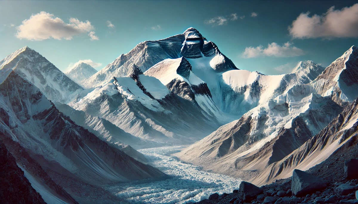
#1: Andes Mountains – 4,300 Miles
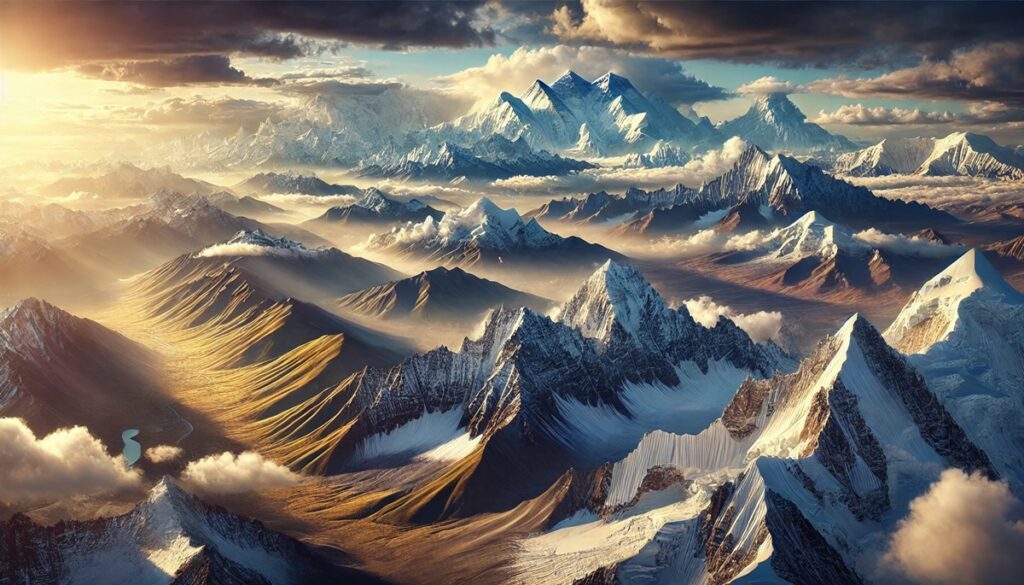
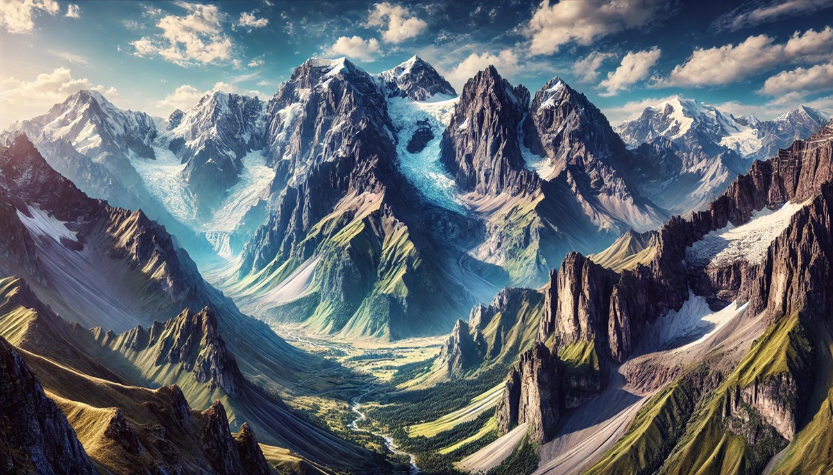
Stretching 4,300 miles along the western coast of South America, the Andes are the longest mountain range in the world. Running through seven countries, including Argentina, Chile, and Peru, the Andes feature towering peaks, such as Mount Aconcagua at 22,841 feet, the tallest in the range. The Andes are a treasure trove of geological features, including volcanoes, glaciers, and plateaus. They were home to the Inca Empire, and remnants of their civilization, like Machu Picchu, remain as cultural landmarks. Stories of the Andes include the daring survival of the 1972 Andes plane crash, immortalized in the book Alive.
#2: Rocky Mountains – 3,000 Miles
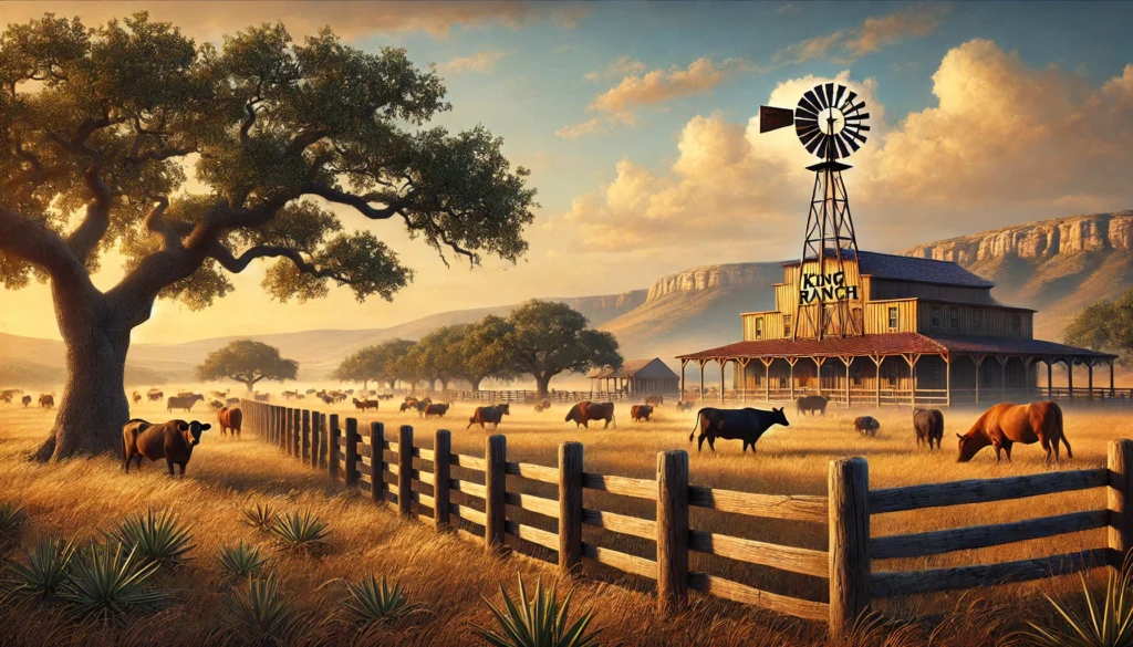
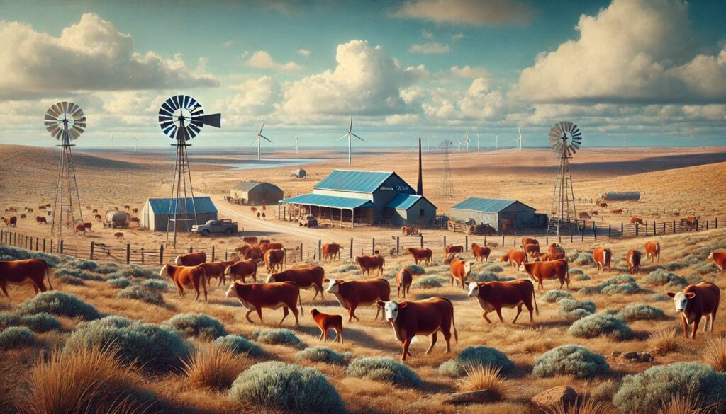
The Rocky Mountains, or the Rockies, stretch 3,000 miles from British Columbia in Canada to New Mexico in the United States. Known for their rugged peaks, dense forests, and alpine lakes, the Rockies include notable landmarks like Yellowstone National Park and the Colorado Rockies. The range has a rich history, serving as a barrier to westward expansion in North America and a hub for mining during the 19th century. Stories of gold rush towns and Native American legends are woven into the fabric of this iconic range.
#3: Appalachian Mountains – 1,500 Miles
The Appalachian Mountains, spanning 1,500 miles from Newfoundland in Canada to central Alabama in the United States, are among the oldest mountain ranges in the world. Unlike the sharp peaks of younger ranges, the Appalachians are characterized by rolling hills and rich biodiversity. The Appalachian Trail, a 2,190-mile hiking trail, runs through the heart of the range, drawing adventurers from around the globe. These mountains played a critical role in early American history, serving as a frontier for colonial settlers.
#4: Sierra Madre – 2,000 Miles
The Sierra Madre is a collective term for the Sierra Madre Occidental, Sierra Madre Oriental, and Sierra Madre del Sur ranges in Mexico. Together, these ranges stretch 2,000 miles and form the spine of Mexico. They are rich in volcanic history, with towering peaks like Pico de Orizaba, the highest volcano in North America. These ranges are vital for their ecosystems and as cultural hubs, with indigenous communities inhabiting their slopes for centuries.
#5: Cascade Range – 700 Miles
The Cascade Range, spanning 700 miles from British Columbia to northern California, is known for its volcanic peaks, including Mount St. Helens and Mount Rainier. The Cascades are part of the Pacific Ring of Fire and are a hotspot for volcanic activity. Stories of eruptions, such as the 1980 Mount St. Helens event, highlight the power of this range. The lush forests and glacial landscapes make it a paradise for outdoor enthusiasts.
#6: Sierra Nevada – 400 Miles
The Sierra Nevada in California and Nevada stretches 400 miles and includes some of the tallest peaks in the contiguous United States, such as Mount Whitney at 14,505 feet. Known for Yosemite National Park, its granite cliffs, waterfalls, and giant sequoias are world-renowned. The Sierra Nevada was a key site during the California Gold Rush, forever linking it to the history of American expansion.
#7: Brooks Range – 600 Miles
The Brooks Range in northern Alaska spans 600 miles and is a remote and rugged wilderness. It serves as a boundary for the Arctic tundra and boreal forests. This range is known for its stark beauty and as a habitat for wildlife, including caribou and grizzly bears. Stories of exploration by intrepid adventurers highlight its isolation and challenges.
#8: Patagonian Andes – 1,200 Miles
The Patagonian Andes, forming the southernmost part of the Andes, stretch 1,200 miles through Argentina and Chile. Known for their jagged peaks, glaciers, and windswept plains, this range includes iconic landscapes like Torres del Paine and Fitz Roy. The Patagonian Andes are a paradise for climbers and trekkers, offering some of the most remote and unspoiled terrains on Earth.
#9: Alaska Range – 400 Miles
The Alaska Range, spanning 400 miles, is home to Denali (Mount McKinley), the tallest peak in North America at 20,310 feet. This range is a dramatic mix of glaciers, towering peaks, and wilderness. It has a storied history of mountaineering, with Denali drawing climbers from around the globe. The range also features prominently in Native Alaskan traditions and lore.
#10: Coast Mountains – 1,000 Miles
The Coast Mountains in British Columbia and Alaska span 1,000 miles along the Pacific coast. Known for their fjords, glaciers, and temperate rainforests, these mountains are a striking blend of rugged beauty and ecological richness. Stories of indigenous peoples and early explorers, such as Alexander Mackenzie, add to the historical tapestry of this range.
The mountain ranges of the Americas are more than just geographical features; they are storied landscapes that hold history, culture, and adventure. From the towering Andes to the rolling Appalachians, these ranges inspire awe and offer a window into the natural and human forces that shaped them. Exploring their peaks and valleys connects us to the enduring beauty and power of the Earth.