Learn more about Maps

The solar system is a breathtaking expanse filled with celestial wonders, and among them are some truly towering mountains. While Earth boasts majestic peaks like Mount Everest, the mountains of other planets and moons far surpass anything found on our home world. These colossal structures, formed by volcanic activity, tectonic forces, or ancient impacts, tell the story of their celestial homes. In this list, we will explore the ten tallest mountains in the solar system, marveling at their size, history, and the mysteries they hold.
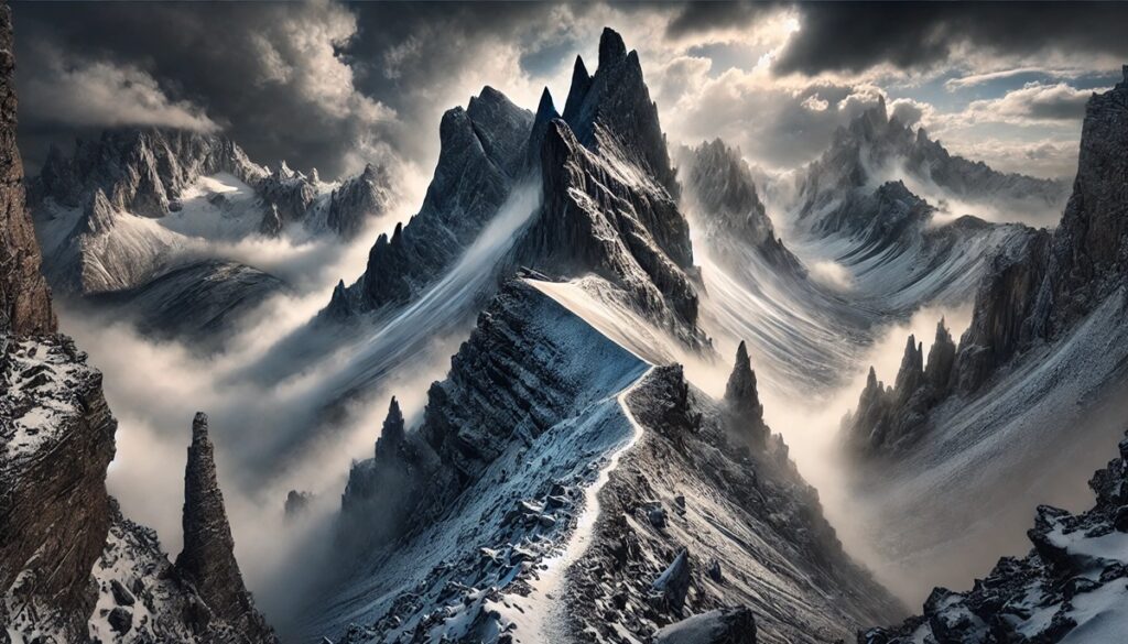
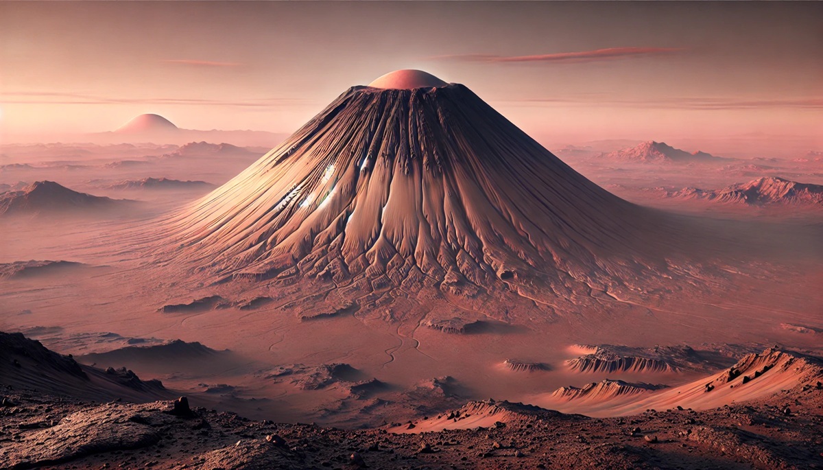
#1: Olympus Mons, Mars – 72,000 feet
Olympus Mons is not only the tallest mountain on Mars but also the tallest in the entire solar system. This shield volcano rises an astonishing 72,000 feet above the Martian plains, making it nearly three times the height of Mount Everest. Located in the Tharsis Montes region, Olympus Mons spans 370 miles across, roughly the size of Arizona. Its gentle slopes are a result of repeated eruptions of basaltic lava, forming a mountain so wide and flat that an observer on its summit wouldn’t perceive its slope.
What makes Olympus Mons fascinating is its relatively young age compared to other Martian geological features, suggesting it might have been active as recently as 2 million years ago. Anecdotally, the mountain’s immense size has made it a focal point in science fiction, often depicted as a base for human colonists. Early Martian cartographers in the 19th century, peering through telescopes, speculated about the vast “canals” near the region that hinted at advanced civilizations—though we now know these were optical illusions. Its discovery was solidified through observations by the Mariner 9 spacecraft in 1971.
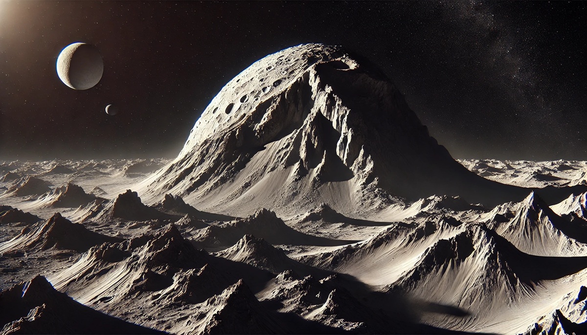
#2: Rheasilvia Central Peak, Vesta – 72,000 feet
The central peak of the Rheasilvia crater on the asteroid Vesta rivals Olympus Mons in height, soaring approximately 72,000 feet from the base of the crater. Unlike traditional mountains, this peak was formed by a massive impact billions of years ago, which carved out the enormous Rheasilvia crater. The peak lies at the asteroid’s southern pole and is a remnant of the rebound effect caused by the impact.
What makes Rheasilvia Central Peak extraordinary is its composition, offering clues to the asteroid’s interior. It is thought to be a mixture of rock and metallic elements, exposed due to the impact. The impact event that created this peak likely sent fragments of Vesta careening through the solar system, some of which may have landed on Earth as meteorites. Rheasilvia’s central peak serves as a geological time capsule, helping scientists understand the early solar system.
#3: Equatorial Ridge, Iapetus – 65,000 feet
Saturn’s moon Iapetus is a world of strange contrasts, not least because of its equatorial ridge, which rises 65,000 feet above the surrounding terrain. This ridge runs along the moon’s equator like the seam of a baseball, making Iapetus one of the most visually striking moons in the solar system. Scientists are still uncertain about its origins, with hypotheses ranging from tectonic activity to remnants of a collapsed ring system.
The ridge’s uniqueness has inspired numerous studies and debates, as well as appearances in popular culture. Its sheer height and length give the moon a starkly surreal appearance, and climbing such a ridge—if it were ever possible—would provide unparalleled views of Saturn and its rings.
#4: Boösaule Mons, Io – 56,000 feet
Boösaule Mons on Jupiter’s moon Io stands approximately 56,000 feet tall, making it the tallest mountain in the Jovian system. Io’s surface is riddled with volcanic activity, but Boösaule Mons is a tectonic formation, not volcanic. The mountain is a confirmation to the immense tidal forces exerted by Jupiter, which continuously reshape Io’s surface.
One of the most intriguing aspects of Boösaule Mons is its steep, towering cliffs. These cliffs have likely collapsed over time due to Io’s intense geological activity. Scientists have hypothesized that the mountain could provide critical insights into the tectonic processes driven by gravitational interactions.
#5: Arsia Mons, Mars – 43,000 feet
Arsia Mons is one of the Tharsis Montes volcanoes on Mars, reaching 43,000 feet into the thin Martian atmosphere. It is the second-largest volcano on Mars by volume and is notable for its wide caldera, which measures 70 miles across. Like Olympus Mons, it is a shield volcano formed by repeated lava flows.
Arsia Mons is unique because its caldera contains evidence of ice deposits and possible caves formed by lava tubes. These features have sparked interest in its potential to harbor past or present microbial life, making it a target for future exploration.
#6: Ascraeus Mons, Mars – 39,000 feet
Ascraeus Mons is another giant volcano in the Tharsis region of Mars, standing at 39,000 feet. It is characterized by its smooth, broad base and relatively gentle slopes. This shield volcano has a distinctive appearance, with large fissures and lava tubes.
The mountain’s surface shows evidence of extensive lava flow channels, indicating that it was once highly active. Ascraeus Mons is a striking reminder of the volcanic forces that shaped Mars billions of years ago.
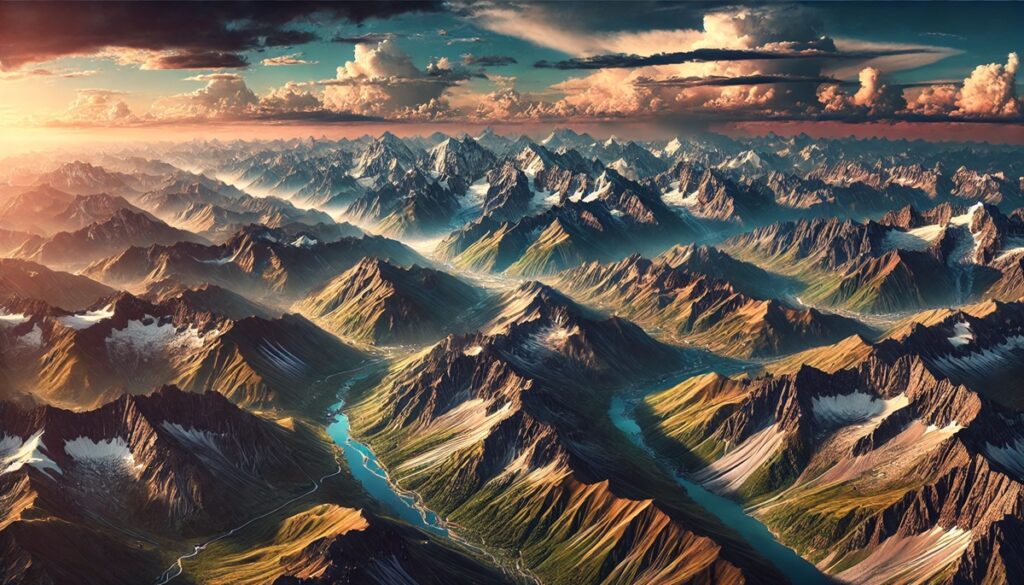
#7: Mauna Kea, Earth – 33,500 feet (from base)
Mauna Kea, a dormant volcano in Hawaii, is the tallest mountain on Earth when measured from its base on the ocean floor, rising 33,500 feet. Though it only rises 13,800 feet above sea level, it surpasses Everest in overall height. Mauna Kea is a sacred site for native Hawaiians and is also home to world-class astronomical observatories.
#8: Maxwell Montes, Venus – 33,000 feet
Maxwell Montes is the tallest mountain on Venus, reaching 33,000 feet. Located near the planet’s north pole, it is part of a massive plateau called Ishtar Terra. The mountain is covered in metallic frost, likely made of lead or bismuth sulfide.
#9: Elysium Mons, Mars – 26,000 feet
Elysium Mons, another Martian shield volcano, stands at 26,000 feet. It is smaller than the Tharsis Montes volcanoes but has unique lava flows that indicate its eruptions were more explosive.
#10: Mons Huygens, Moon – 18,000 feet
Mons Huygens is the tallest mountain on Earth’s moon, rising 18,000 feet. It is part of the Montes Apenninus range, formed by the impact that created the Imbrium Basin. The mountain offers a stunning view of the lunar surface.
These towering mountains showcase the incredible diversity and scale of geological processes across the solar system. From the volcanic giants of Mars to the icy ridges of distant moons, they remind us of the vastness of our cosmic neighborhood and the stories each celestial body has to tell