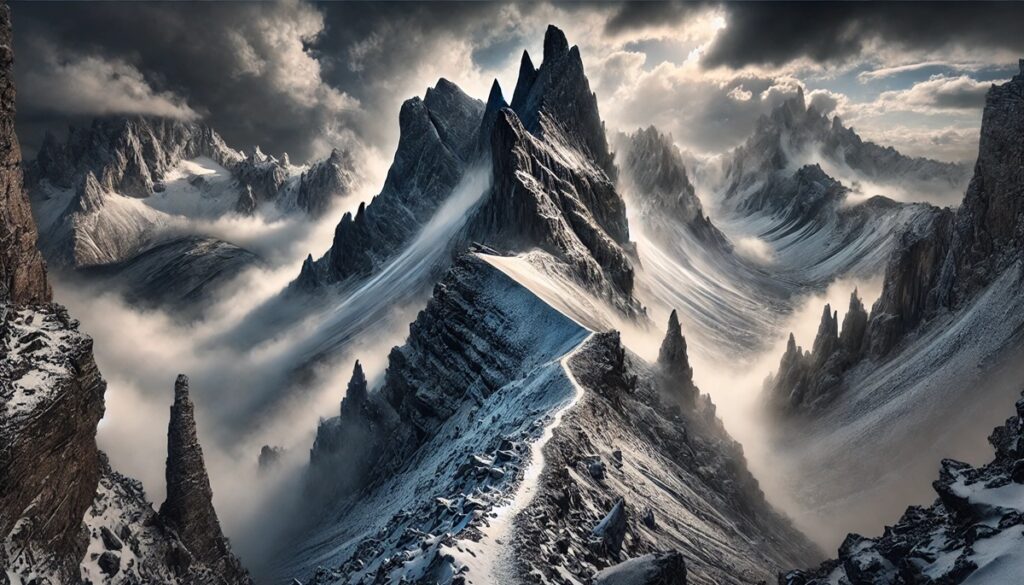
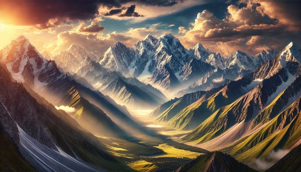
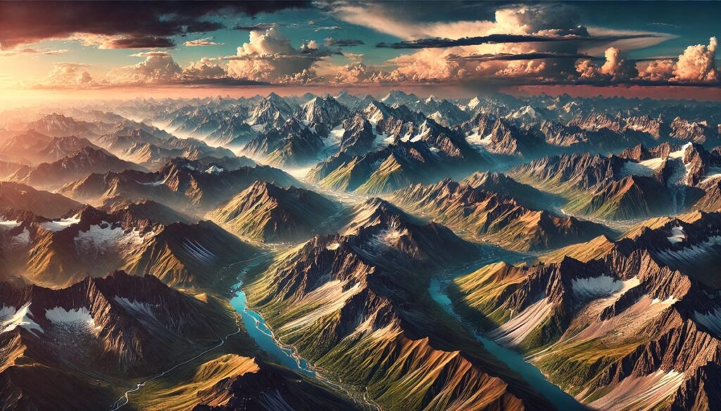
Mountains and maps share an ancient, intrinsic bond, each revealing the other’s secrets to those who dare to look closer. Mountains, with their jagged peaks and sprawling ridges, rise like timeless monuments, their shadows stretching across the earth like whispers of forgotten stories. Maps, on the other hand, flatten these mighty forms into delicate lines, curves, and symbols, turning the wild chaos of terrain into an organized dreamscape of exploration. There’s something magical about tracing your finger over a map, imagining the ascent of a sharp contour line, the wind biting your face as you crest a ridge, or the solitude of a hidden valley nestled between towering cliffs. Maps don’t just guide—they ignite the imagination, offering a gateway to the world’s most remote and beautiful places. They transform mountains into riddles waiting to be solved, adventures waiting to unfold. A single red “X” or a dotted line through a rugged range can spark a thousand stories of peril and triumph, of sunlit summits and storms that howl like ghosts. Together, mountains and maps are a conversation between the Earth and humanity, a reminder of what it means to venture beyond the horizon and leave behind the familiar for the extraordinary.

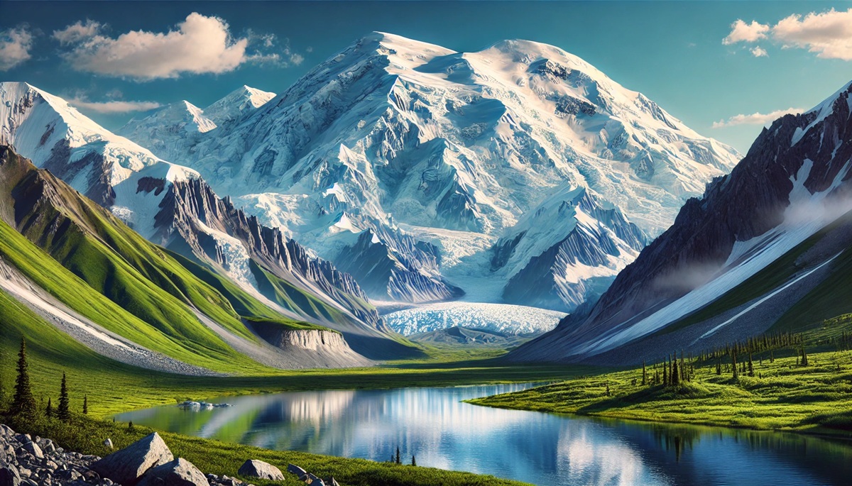
The United States is home to some of the most awe-inspiring mountain ranges in the world, many of which are protected within the boundaries of its national parks. These peaks have long inspired explorers, adventurers, and nature lovers, offering breathtaking views, unique ecosystems, and a sense of the sublime. From the towering heights of Alaska to the rugged landscapes of the Rockies, these mountains stand as a witness to the Earth’s geologic power and beauty. Here are the top ten mountains found within U.S. National Parks, ranked by size, and each with a unique story to tell.
#1: Denali (Mount McKinley) – 20,310 feet
Denali, the tallest peak in North America, dominates the skyline of Denali National Park in Alaska. Its colossal height attracts climbers from around the world, who challenge themselves against the mountain’s extreme conditions and technical ascents. Denali’s name, which means “The High One” in Koyukon Athabaskan, reflects its cultural significance to Alaska Natives. Formerly known as Mount McKinley, it officially reclaimed its Indigenous name in 2015.
The mountain’s weather is notoriously unpredictable, with temperatures plummeting to -75°F in winter and winds reaching over 150 mph. Climbers often spend weeks acclimatizing and waiting for a break in the weather. The Muldrow Glacier, which winds down Denali’s northern flank, serves as a critical climbing route. Stories abound of near-misses and heroic rescues on the slopes of Denali, including that of Art Davidson and his team, who survived an unprecedented winter ascent in 1967. Denali’s sheer scale, combined with its remoteness and rugged beauty, makes it a true icon of the American wilderness.
#2: Mount Saint Elias – 18,008 feet
Located on the border of Wrangell-St. Elias National Park in Alaska and Canada’s Yukon, Mount Saint Elias is the second-highest peak in the United States. Rising dramatically from sea level to its summit, it is one of the most massive and remote mountains on Earth. Its first recorded ascent in 1897 by the Duke of Abruzzi remains legendary for its difficulty, given the limited technology of the time.
The mountain’s grandeur is matched only by its inaccessibility. Known as the “Mountain of Storms,” Saint Elias often hides behind thick clouds, and its slopes are treacherous with glaciers and crevasses. Climbers speak of the deafening sound of icefalls and the surreal beauty of alpenglow on its icy peaks. For centuries, Indigenous Tlingit communities revered the mountain, weaving it into their oral histories. Today, its isolation ensures that it remains a pristine natural treasure.

#3: Mount Foraker – 17,400 feet
Also within Denali National Park, Mount Foraker is Denali’s imposing neighbor. Often overshadowed by the taller peak, Foraker offers its own challenges and mystique. The mountain was named after Senator Joseph Foraker, though it is known locally by its Athabaskan name, Sultana, meaning “the woman.”
Foraker’s double summit is a beacon for climbers who want a challenging yet less crowded alternative to Denali. The peak’s history includes tales of triumph and tragedy, such as the ill-fated expedition of 1960, when an avalanche claimed the lives of several climbers. With sweeping views of the Alaska Range and the sprawling Kahiltna Glacier below, Mount Foraker inspires awe among visitors who witness its grandeur from a distance or attempt its ascent.
#4: Mount Bona – 16,421 feet
Situated in Wrangell-St. Elias National Park, Mount Bona is one of the highest volcanic mountains in the United States. Covered almost entirely by ice and snow, it feeds several major glaciers, including the massive Klutlan Glacier. Mount Bona is a dormant volcano, with its last eruption believed to have occurred around 11,000 years ago.
First climbed in 1930 by a team led by Allen Carpe, Bona is often considered a less technical climb compared to other Alaskan giants, though its weather remains a significant challenge. The mountain’s pristine white slopes are a sight to behold, particularly under the midnight sun during Alaska’s summer. Its glaciers, critical to the region’s ecology, provide a stark reminder of the power and fragility of nature.
#5: Mount Blackburn – 16,390 feet
Mount Blackburn, another jewel of Wrangell-St. Elias National Park, is the fifth-highest peak in the United States. Like Bona, it is a massive shield volcano, though it has been dormant for thousands of years. Its east and west summits are connected by a long, glaciated ridge, offering climbers a technically demanding route with incredible vistas.
Blackburn’s remote location ensures it is rarely visited, adding to its allure for mountaineers seeking solitude. The Nabesna Glacier, which originates on its slopes, is one of the longest valley glaciers in the world. Early climbers, such as the 1912 National Geographic expedition, marveled at Blackburn’s immense scale and its untouched wilderness.
#6: Mount Rainier – 14,411 feet
Mount Rainier, the crown jewel of Mount Rainier National Park in Washington, is a symbol of the Pacific Northwest. An active stratovolcano, Rainier is one of the most glaciated peaks in the contiguous United States, with over 25 major glaciers. Its snow-capped summit is visible from Seattle on clear days, drawing millions of visitors annually.
Rainier’s geological activity is a constant reminder of its potential power, as it last erupted in the 19th century. The mountain has a rich climbing history, beginning with the first successful ascent in 1870 by Hazard Stevens and P.B. Van Trump. Rainier’s meadows burst with wildflowers in summer, while its slopes challenge climbers year-round. Stories of encounters with wildlife and stunning sunrises from Camp Muir are part of the allure of this majestic peak.
#7: Longs Peak – 14,259 feet
Located in Rocky Mountain National Park in Colorado, Longs Peak is the tallest mountain in the park and one of the state’s famed “Fourteeners.” Its distinctive flat-topped summit is visible for miles, and the challenging Keyhole Route draws thousands of climbers each year. The climb is not for the faint-hearted, with steep drop-offs and unpredictable weather.
Longs Peak has been a sacred site for Indigenous peoples, including the Ute tribe, for centuries. The first recorded ascent was by Major Stephen Long’s expedition in 1820. Today, it remains a rite of passage for climbers and hikers, who often share tales of camaraderie and perseverance.
#8: Grand Teton – 13,775 feet
Grand Teton, the namesake of Grand Teton National Park in Wyoming, is a striking peak that seems to rise abruptly from the valley floor. Known for its sharp, rugged profile, it is a favorite among mountaineers and photographers alike. The mountain’s rich history includes its first ascent in 1872 and its role as a symbol of the American West.
Grand Teton’s dramatic beauty is matched by its ecological significance, providing habitat for species ranging from bighorn sheep to grizzly bears. Visitors are captivated by the play of light on its jagged spires, and climbers relish the challenge of its steep routes.
#9: Mount Whitney – 14,505 feet
Mount Whitney, the tallest mountain in the contiguous United States, stands proudly in Sequoia and Kings Canyon National Parks. A popular destination for hikers, its summit can be reached via the 22-mile round-trip Whitney Trail. Known for its stark granite beauty, Whitney is part of the Sierra Nevada Range and offers panoramic views that extend for hundreds of miles.
Whitney was first climbed in 1873 by fishermen who stumbled upon a route. The mountain’s accessibility and stunning vistas have made it a bucket-list destination for many adventurers, though altitude sickness and weather can complicate the journey.
#10: Half Dome – 8,846 feet
While not the tallest, Yosemite National Park’s Half Dome is arguably one of the most iconic mountains in the world. Its sheer granite face has become a symbol of Yosemite and a challenge for climbers. The cable route to the summit is a popular, though strenuous, hike that rewards visitors with breathtaking views of the Yosemite Valley.
Half Dome’s unique shape was carved by glaciers during the Ice Age, leaving a stark reminder of geologic time. Stories of daring climbers, including the first free ascent by Royal Robbins in 1957, add to its mystique. Half Dome remains a pilgrimage for outdoor enthusiasts, embodying the spirit of adventure.
From Denali’s towering heights to the iconic Half Dome, these mountains offer an unparalleled look at the power, beauty, and diversity of the American landscape. Each peak tells its own story, blending natural history, cultural significance, and human endeavor. They stand as monuments to the timeless relationship between people and nature, inviting us to explore, respect, and be inspired.