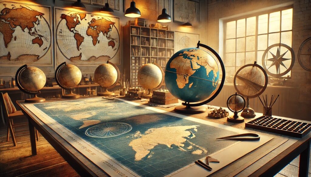
Maps have always been more than just tools for navigation; they are snapshots of human history, reflecting how societies understood and interacted with the world. Over centuries, some maps have become iconic for their artistry, scientific precision, or the pivotal roles they played in shaping exploration, trade, and geopolitics. These famous maps often transcended their practical use, becoming symbols of innovation and storytelling. Here are the top 10 most famous maps in history, showcasing their size, significance, and the fascinating tales behind their creation.
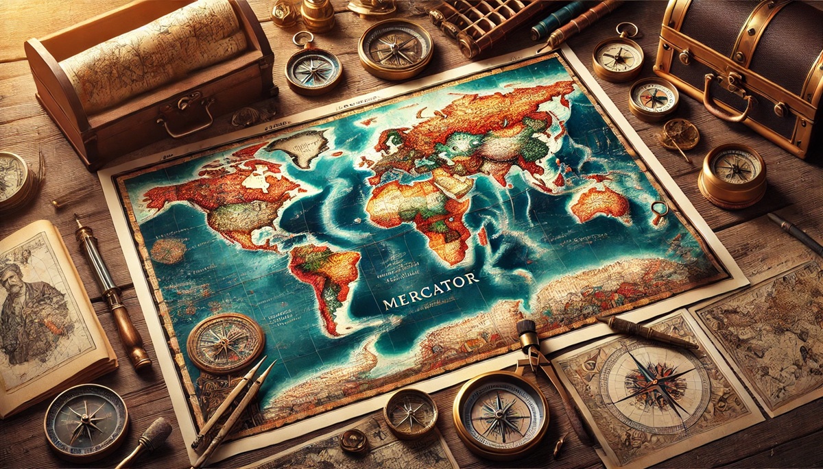
#1: Mercator’s World Map (1569) – Infinite Precision
Gerardus Mercator’s 1569 world map is one of the most influential in history, stretching an impressive size of 80 by 50 inches. Designed as a navigation tool, it introduced the cylindrical projection that preserves accurate compass directions. This innovation revolutionized maritime navigation during the Age of Exploration, allowing sailors to plot straight-line courses across oceans. However, it distorted the relative sizes of landmasses, making regions like Europe appear larger than they are compared to Africa or South America.
Mercator’s map was not just a tool but a masterpiece of cartographic artistry. It combined intricate illustrations of sea monsters and ships with geographical detail, blending science and imagination. The map’s influence persists today, as its projection remains widely used in digital maps, though often debated for its Eurocentric bias. Stories of its use by explorers like Francis Drake highlight its enduring importance in charting the unknown.
#2: Ptolemy’s Geographia (150 AD, Rediscovered 1400s) – Ancient Foundations
Ptolemy’s Geographia is not a single map but a collection of ancient Greek geographical knowledge, originally compiled in 150 AD. Rediscovered in the 1400s during the Renaissance, it was reinterpreted into beautifully illustrated maps. Ptolemy’s work introduced latitude and longitude, a framework that continues to underpin modern cartography.
These maps were groundbreaking for their time, showcasing a spherical Earth long before this was universally accepted. Anecdotes from the Renaissance reveal how Ptolemy’s rediscovery inspired explorers like Christopher Columbus, who used Geographia to plan voyages. Its historical significance as the bridge between ancient and modern mapping cannot be overstated.
#3: The Tabula Rogeriana (1154) – Early Islamic Cartography
Created by the Arab cartographer Al-Idrisi in 1154, the Tabula Rogeriana was commissioned by King Roger II of Sicily. Measuring roughly 6 feet in diameter, this circular map provided one of the most accurate depictions of the known world at the time, blending Islamic and European geographical knowledge.
The Tabula Rogeriana flipped conventional orientation, placing the south at the top—a reminder that maps reflect cultural perspectives. Its detailed representation of trade routes and natural features made it invaluable for travelers and merchants. Stories of its creation highlight Al-Idrisi’s dedication to compiling knowledge from diverse cultures.
#4: The Waldseemüller Map (1507) – Birth of “America”
Measuring 8 by 4 feet, the Waldseemüller map is famous for being the first to use the name “America,” honoring the explorer Amerigo Vespucci. Published in 1507, this map depicted the New World as a separate continent for the first time, marking a pivotal moment in the Age of Discovery.
Only one copy of this map survives today, housed in the Library of Congress. Its creation reflected the excitement and rapid exchange of knowledge during the early 16th century. Stories of its rediscovery in the 20th century highlight its importance in understanding how the world came to be seen as a global entity.
#5: The Ebstorf Map (13th Century) – Medieval Worldview
The Ebstorf Map, originally over 12 feet in diameter, was a mappa mundi—a medieval European map that combined geography with theology. Centered on Jerusalem, it depicted the world as a circular representation of Christian cosmology, with illustrations of Biblical stories and mythological creatures.
Destroyed during World War II, the Ebstorf Map survives through copies and descriptions. It provides a glimpse into medieval perceptions of the world, blending spiritual and physical understanding. Anecdotes from historians emphasize its role as both a map and a teaching tool in medieval Europe.
#6: The Fra Mauro Map (1450) – Venetian Ingenuity
Created by the Venetian monk Fra Mauro, this circular map measured roughly 6 feet in diameter and represented the world with remarkable detail and accuracy for its time. Incorporating knowledge from travelers and explorers, it challenged traditional religiously oriented maps by placing east at the top.
The Fra Mauro Map’s rich annotations reveal fascinating insights into 15th-century trade, exploration, and science. Stories of its commissioning by Portuguese navigators highlight its influence on the Age of Discovery.
#7: The Vinland Map (Claimed 15th Century) – Controversial Discovery
The Vinland Map, measuring 11 by 16 inches, is one of the most debated artifacts in cartographic history. Allegedly created in the 15th century, it depicts a portion of North America labeled “Vinland,” suggesting Norse exploration long before Columbus. However, its authenticity has been widely questioned.
Whether genuine or a forgery, the Vinland Map has sparked intense discussions about pre-Columbian transatlantic exploration. Stories of its analysis by scientists and historians reveal the challenges of interpreting historical artifacts.
#8: The Hereford Mappa Mundi (c. 1300) – A Medieval Marvel
Housed in Hereford Cathedral, this mappa mundi measures 5 by 4 feet and depicts the world as understood in medieval Europe. Centered on Jerusalem, it combines geography with religious and mythological elements, portraying a worldview steeped in spirituality.
The Hereford Mappa Mundi offers a fascinating glimpse into medieval thought and the interplay between faith and science. Anecdotes of its preservation through turbulent periods underscore its cultural significance.
#9: The Carte de Cassini (18th Century) – France’s Masterpiece
The Carte de Cassini was the first map to comprehensively cover an entire country—France—with scientific precision. Created in the 18th century, it consisted of over 180 individual sheets, showcasing France’s geography in unprecedented detail.
This map revolutionized national cartography and inspired similar efforts in other countries. Stories of its creation highlight the challenges of surveying a nation without modern tools.
#10: The Dymaxion Map (1943) – Fuller’s Vision
Buckminster Fuller’s Dymaxion Map unfolds the globe into a flat icosahedron, emphasizing the interconnectedness of Earth’s landmasses. Its unique design challenges conventional perspectives, promoting a sense of global unity.
Fuller’s map reflects his visionary approach to sustainability and collaboration. Anecdotes from its creation reveal his dedication to reimagining how we view the world.
Famous maps are more than geographical tools—they are windows into the cultures, ambitions, and innovations of their time. From ancient cosmologies to modern projections, these maps highlight the evolution of human understanding and the enduring power of cartography to shape our view of the world.