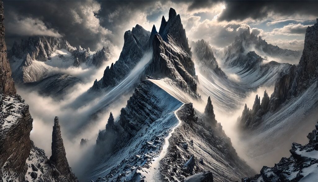
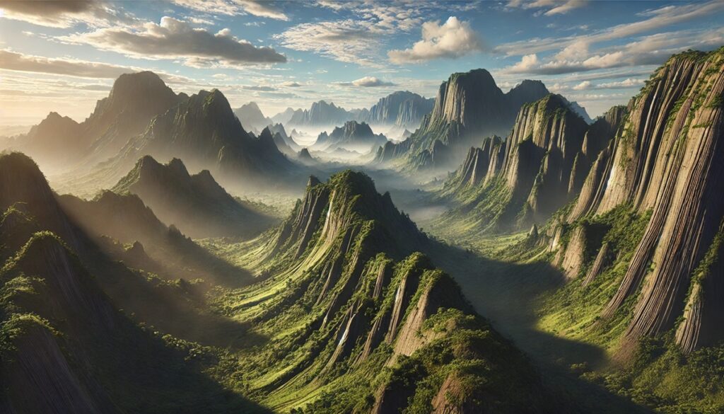
Mountains and maps are more than just geographical features and tools; they are the keepers of stories, struggles, and triumphs. For centuries, maps have been essential in guiding those who venture into the mountains, charting not only the physical features of the land but also marking the paths of exploration, discovery, and survival. A map of a mountain range is a puzzle, a beautiful yet complex representation of ridgelines, peaks, valleys, and the often-hidden trails that wind their way through the wilderness. For those who climb, a map becomes a trusted companion, offering a blueprint for what lies ahead while also serving as a record of where they’ve been. But it is not just the topography that maps reveal; they also capture the human connection to the mountains. They trace the routes of ancient travelers, the first explorers who crossed treacherous passes, the miners who once sought riches in remote valleys, and the mountaineers who risked their lives to conquer summits that seemed insurmountable. With each line drawn on a map, there is the pulse of history, the imprint of dreams, and the lessons learned from the mountains. But maps also do more than tell stories—they shape the way people interact with the land. They serve as guides for safety and success, helping climbers navigate crevasses, assess elevation gains, and anticipate weather changes. They highlight safe passages and warn of hidden dangers, teaching climbers how to respect the power of the mountains. As a climber ascends, the map begins to come to life, its contours becoming more than just paper and ink. It becomes a living entity, a trusted guide that reflects not only the challenges of the climb but the resilience of those who dare to face them. Maps and mountains together are a testament to humanity’s eternal quest to understand, conquer, and respect the natural world, one summit at a time.

Climbing the mountains of the United States is a challenging and often dangerous pursuit, attracting seasoned mountaineers and adventurers alike. From the towering peaks of the Rockies to the rugged wilderness of the Pacific Northwest, these mountains represent the pinnacle of difficulty for climbers. The following list highlights the top 10 hardest mountains to climb in the U.S., based on technical difficulty, extreme weather conditions, and the overall challenge they present to climbers.
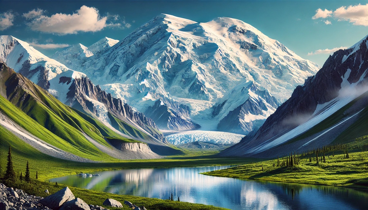
#1: Denali (formerly Mount McKinley) – 20,310 feet (Alaska)
Denali, the highest peak in North America, is widely regarded as one of the most difficult mountains to climb in the world. Located in Alaska’s Denali National Park, this towering peak stands at 20,310 feet. The mountain is notorious for its harsh weather conditions, including extreme cold, high winds, and unpredictable storms. The climb is physically demanding, requiring climbers to navigate glacier fields, steep ridgelines, and crevasse-laden terrain. The ascent involves technical skills, such as ice climbing, crevasse rescue, and high-altitude endurance. Due to its remoteness and unpredictable conditions, Denali remains a top challenge for even the most experienced mountaineers.
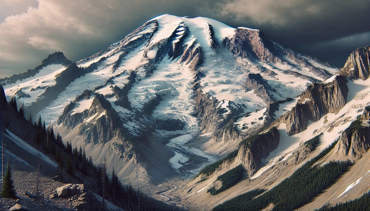
#2: Mount Rainier – 14,411 feet (Washington)
Mount Rainier, located in Washington state, is one of the most prominent volcanoes in the U.S. and presents a significant climbing challenge due to its steep slopes, unpredictable weather, and glaciers. At 14,411 feet, Rainier is one of the highest peaks in the Pacific Northwest, and its climb involves both technical skills and endurance. Climbers must navigate glaciers, crevasses, and steep ice-covered slopes, making the ascent challenging even for experienced mountaineers. The climb is further complicated by the mountain’s propensity for sudden storms, which can lead to poor visibility and treacherous conditions. Despite these challenges, Mount Rainier attracts thousands of climbers each year.
#3: Mount Whitney – 14,505 feet (California)
As the highest peak in the contiguous United States, Mount Whitney is a daunting challenge for climbers. While the hike via the standard trail is non-technical, the altitude, unpredictable weather, and rugged terrain make it a significant challenge. The mountain sits at 14,505 feet and is known for its steep ascents, high winds, and snow, even during summer months. The climb requires careful planning, as climbers must also contend with the effects of high-altitude sickness. Those seeking a more technical ascent often attempt the East Face, which presents vertical rock climbs and ice challenges, significantly increasing the difficulty level.
#4: Mount Hood – 11,240 feet (Oregon)
Mount Hood is the highest peak in Oregon and a popular climbing destination, but it is also known for being one of the most dangerous mountains in the U.S. Due to its proximity to urban areas, it attracts many climbers, but its erratic weather, crevasses, and glaciated terrain pose significant risks. With an elevation of 11,240 feet, it requires climbers to navigate ice and snow-covered slopes, often in extreme cold temperatures. Though the standard climbing route isn’t considered highly technical, the presence of constant avalanches, rockfalls, and rapidly changing weather conditions make it a particularly difficult peak to summit. Mount Hood has claimed many lives due to its challenging conditions.
#5: Mount Saint Elias – 18,008 feet (Alaska)
Mount Saint Elias, located on the border between Alaska and Canada, stands as the second-highest peak in both the U.S. and Canada, towering at 18,008 feet. It is one of the hardest mountains to climb in the United States due to its steep ice-covered slopes, extreme altitude, and unpredictable weather. Climbers must navigate glaciers and ice cliffs, requiring technical ice climbing skills. The mountain’s remote location and the potential for dangerous storms make it a serious undertaking. Saint Elias is less climbed than many other peaks in the U.S. due to its difficulty and the extreme conditions climbers face.
#6: Mount Shasta – 14,179 feet (California)
Mount Shasta, located in Northern California, is an imposing and technically challenging mountain that requires skillful climbing techniques. Its prominent position in the Cascade Range means it is susceptible to sudden weather changes, including heavy snowfall, high winds, and low visibility, making the summit attempt dangerous. Although the standard route isn’t highly technical, the sheer size of the mountain, combined with glaciers, snowfields, and steep ascents, means it’s still a tough challenge. Climbing Mount Shasta also requires good physical conditioning due to its elevation and the need for stamina to deal with the cold and harsh elements.
#7: Mount Elbert – 14,440 feet (Colorado)
Mount Elbert, the highest peak in Colorado at 14,440 feet, is considered one of the highest points in the Rocky Mountains. While it is not a technical climb, the altitude and steepness make it a significant challenge for climbers. The mountain is often subject to rapid weather changes, with the summit frequently covered in snow, even in the summer. Climbers attempting Mount Elbert are also susceptible to altitude sickness, as the high elevation and the physical exertion required to reach the summit can take a toll. The standard route is challenging due to the steep ascent, the thin air, and the rugged terrain.
#8: Mount McLoughlin – 9,495 feet (Oregon)
Mount McLoughlin is a lesser-known but difficult climb in southern Oregon. Standing at 9,495 feet, it presents a challenge due to its steep slopes and rocky terrain. The summit is reached by hiking along an exposed ridge that requires careful navigation. The terrain is rugged and often covered with snow, making it dangerous for climbers who are not prepared for the cold, particularly during winter or early spring. The risk of avalanches, especially on the upper slopes, makes this mountain a difficult climb for even seasoned mountaineers.
#9: Grand Teton – 13,775 feet (Wyoming)
The Grand Teton, located in Grand Teton National Park in Wyoming, is one of the most challenging climbs in the U.S. due to its steep rock faces, challenging weather, and unpredictable conditions. At 13,775 feet, the summit requires technical climbing skills, including rock climbing and ice climbing, depending on the route. The Grand Teton’s jagged features and the presence of loose rock make it a dangerous climb, and the weather conditions can shift rapidly, adding an extra layer of danger. Climbers also face the challenge of navigating the Grand Teton’s glacier-covered sections, which can create crevasse hazards.
#10: Mount Adams – 12,281 feet (Washington)
Mount Adams, located in Washington state, is the second-highest peak in the Cascade Range, standing at 12,281 feet. It is considered a challenging climb due to its large snowfields and steep ascent. Though it’s a non-technical climb along most routes, climbers still face challenging weather conditions, with high winds and snowstorms common in the higher elevations. The climb requires endurance and the ability to navigate ice and snow, making it a tough, demanding mountain to summit. Its high elevation and risk of altitude sickness are also factors to consider for climbers attempting the peak.
These 10 mountains represent the pinnacle of climbing difficulty in the United States. Each one presents its unique challenges, from high-altitude extremes and technical rock climbing to the harsh weather conditions that require skill, preparation, and resilience. Whether you’re an experienced mountaineer or an aspiring adventurer, these peaks are sure to push the limits of your endurance and climbing abilities.